
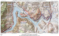
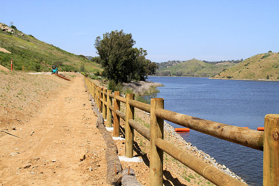
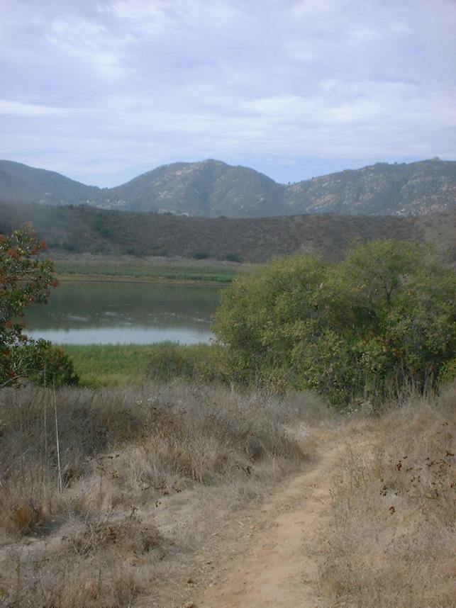
Lake Hodges - North Side
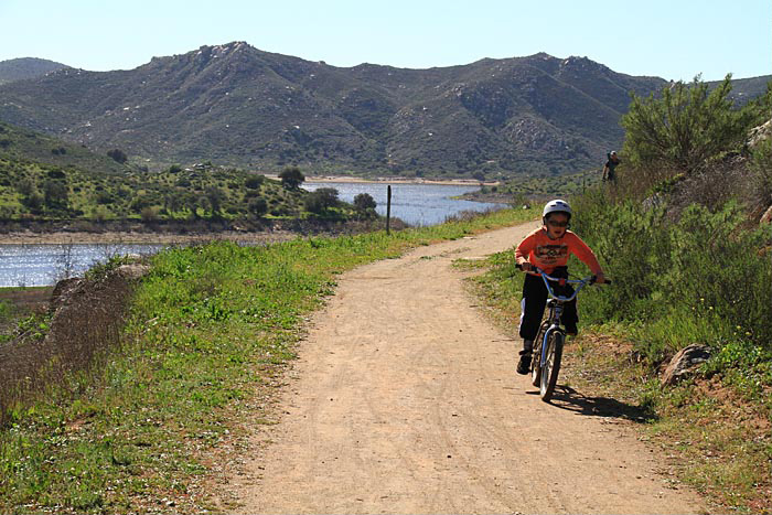
Lake Hodges is located just south of Escondido CA and is part of the San Dieguito River Park and the the work in progress Coast to Crest Trail. Although the place is mostly flat with the primary routes being fire roads there are quite a few singletrack options that spice the place up as well as put together a lot of miles. This is a great place to take a beginner because they can stick to the easy stuff and add in the many side loops as their skills progress. If you are looking to get in miles, there are plenty of those out here. While this area is not exactly a mountain biking gem of San Diego county it has plenty to offer, especially if you take the climb up Bernardo Mountain. Lake Hodges is also a popular place for night riding. Additional Lake Hodges is part of the Coast-to-Crest trail system which streches from the Pacific Ocean to Vulcan Mountain near Julian.
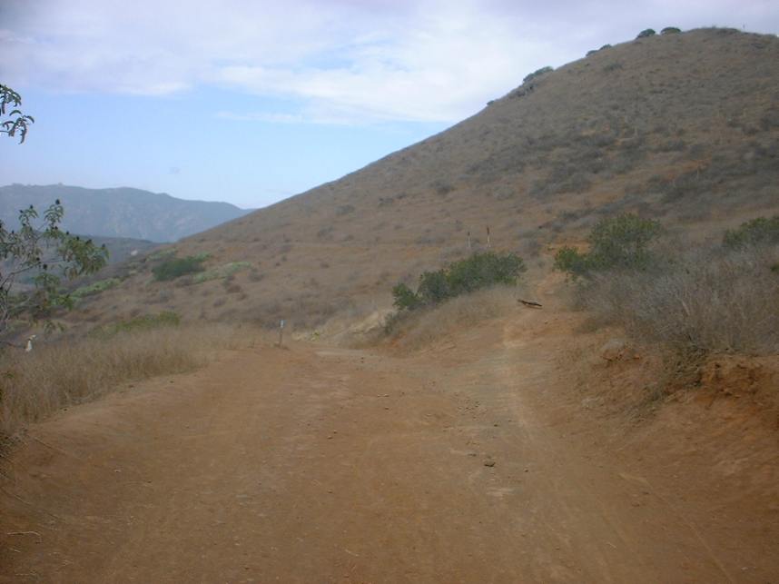
North Side Out and Back (Up to 25mi, 1,600'▲)
North and South Side Loops (16mi, 1,000'▲)
South Side and Bernardo Mountain (15.6mi, 1,420'▲)

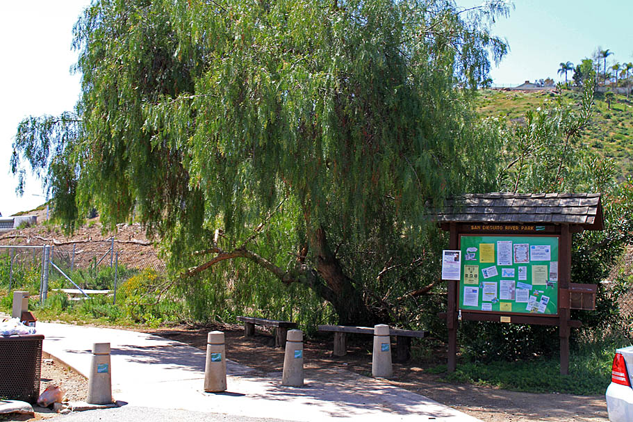
- Sikes Adobe - Northside Self Storage

- South Side Staging Area
- Boat Ramp Entrance (West end of lake)
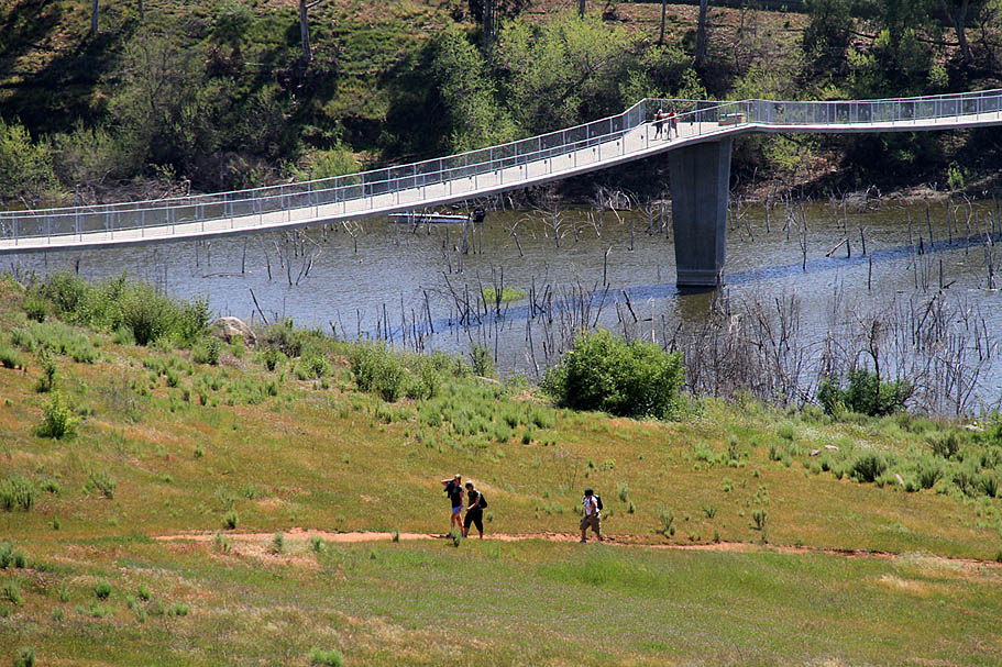
I have been riding Lake Hodges for decades and my North and Side side pages were some of the first on my site. In 2009 a 990 foot long, 12' wide bike and pedestrain bridge located 1,000 feet west of I-15 was completed linking these two areas together. I'm keeping the two pages seperate as both are still good independent rides but they are easily comingled and my current suggested routes reflect that.
Ride information: (Points referred to in the description are shown on my PDF map. These points are not on the embedded in Trailforks Map.)
North Side Out and Back
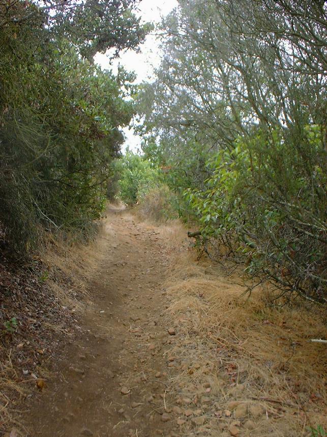
The following description is based on the North Side Out and Back Route but it does not directly follow it. The description has you turning around at the high point just past the dam and turning around (Point I on my PDF map). The GPX file continues on south along the Del Dios Gorge and onward to the top of the Crosby Switchbacks. The route start strarts from the Sikes Adobe/Self Storage, you will go south on a concrete path south along the east side of the I-15 and then go under the freeway. When you come out from under the freeway the path will turn north and then take the lower fire road that it just south of upper fire road at Point A.


There are a few singletracks that go between the upper and lower fire roads. For this description I am assuming you are started from the Self Storage lot and have followed the concrete path south and gone under the bridge and then back north and are now just south of Point A on the lower fire road. From this point head west on the old broken pavement (Point C). This is part of the old highway 395, the predecessor to I-15. Follow the old highway for a couple tenths of a mile where you will come to the 990 foot long, 12' wide Bike and Pedestrain Bridge that opened in May of 2009 connecting the north and side of Lake Hodges. (Points R and O on my map). The bridge now allows for a wide array of riding combinations using both areas. Both sides of the lake are large enough that I am still going to maintain two seperate pages. I describe a sizable ride combining the two at the end of this page.
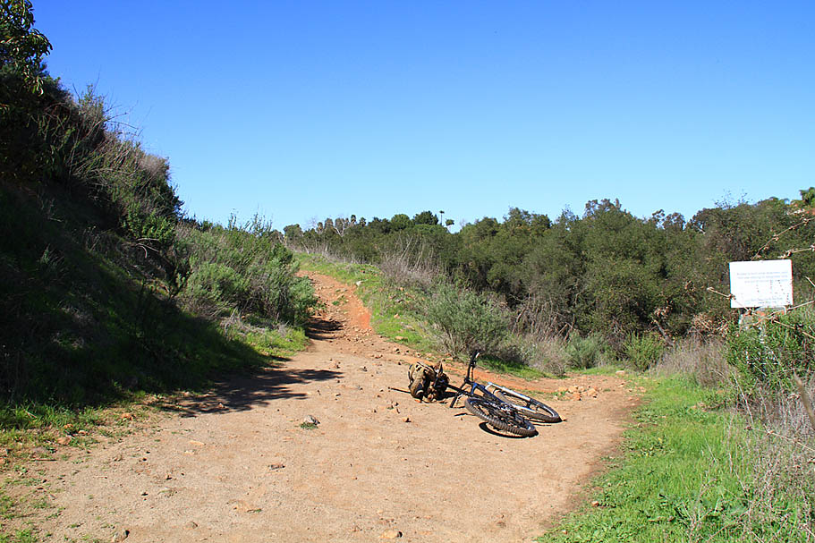
Continue past the bridge on the lower fireroad, after rounding a knoll on your right you will see a single track off to your right goes up to the upper fireroad (Point B). Take this singletrack and climb up to the upper fireroad. When you get to the upper fireroad hang a left and continue east.
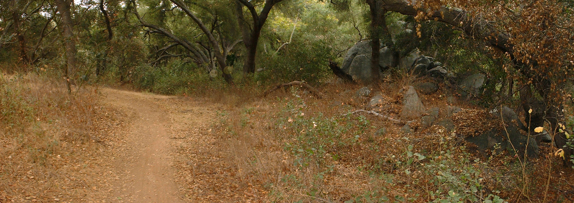
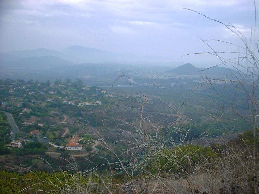
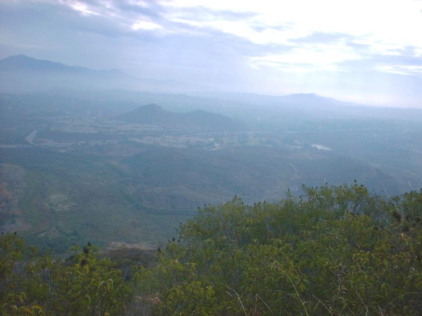
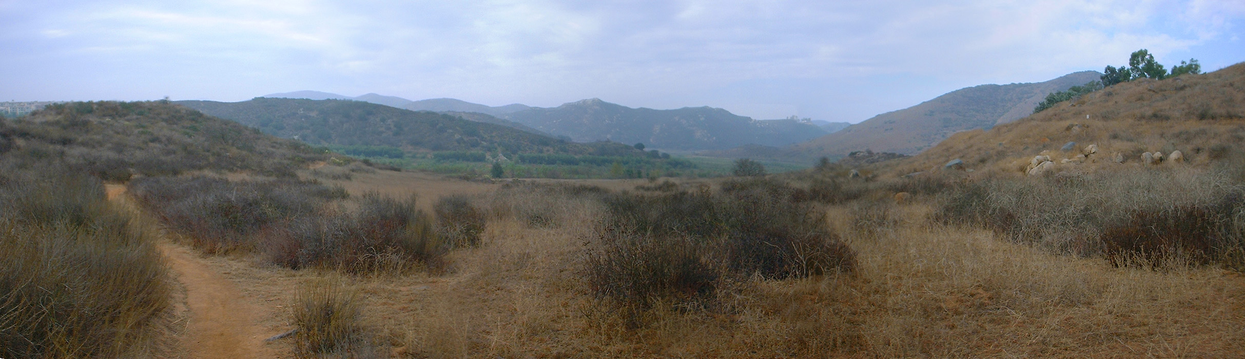 Panoramic view from point B looking southeast.
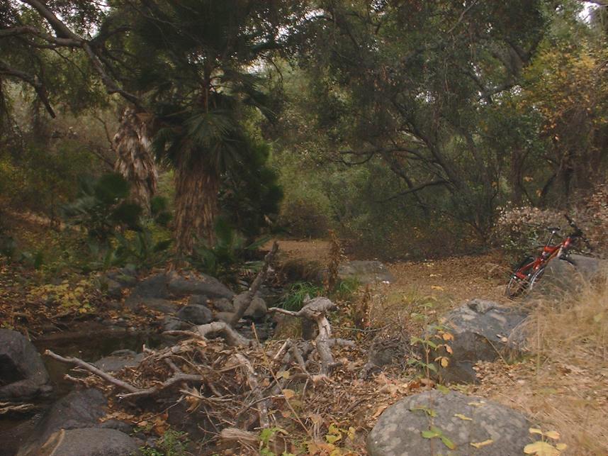
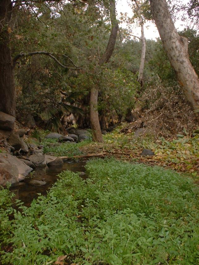
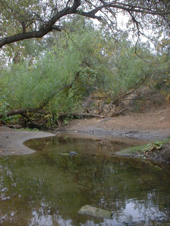

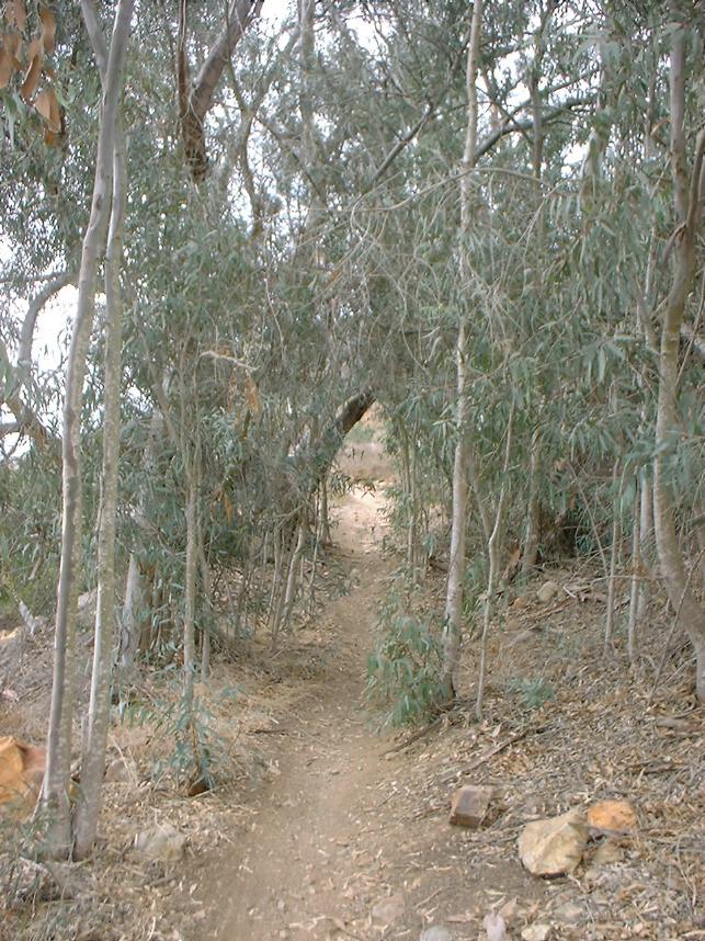
You will continue east along the upper fire road. After about 3/4th of a mile before you come to the next significant singletrack dropping down to the lower fire road. (Point D) The single track that drops you down to the lower fire road from here is fun but overly short. Continue along the fireroad for another half mile or so until you come to another singletrack on your left. While it maybe short, it is tree covered and quite lush. It will take you down to another Felicity Creek crossing. This trail passes by a metric butt ton of poison oak that can be as little as a few feet off the trail. The 2007 fires burned out the underbrush through here and the evil leaf has come back in a huge way. The trail has been maintained well and the stuff is cut back but mother nature is always looking to reclaim any untrammeled space. This would not be a good place to step off the trail to take a bio break. (Don't ask me how I know, BUT trust me!)
 One of the trails that drop down from the upper fire road down to Felicity Creek
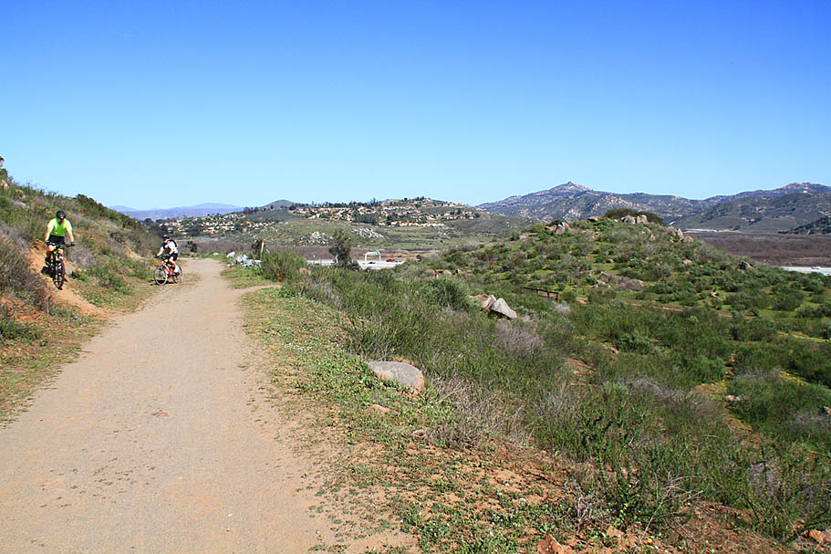
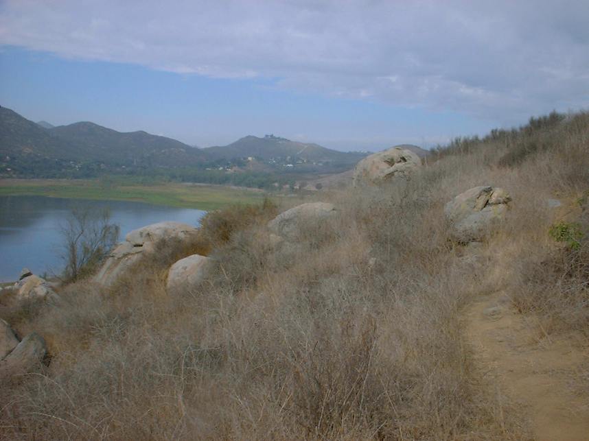
This upper single track is quite nice and parallels the fire road below for over a mile. There are several options here to drop down the lower fire road as you approach the boat launch area. I recommend staying on the single track as long as possible by bearing to the right whenever you have an option. There are a series of single tracks that parallel both the fire road and the main paved access road into the lake. There are a couple of really quick but steep up and down sections.
Eventually you will have to get near the pavement. (Point J) Even then there are two trails (more like lines) that are right next to the road that will at least keep you on dirt. Follow the access road east until you are forced onto the pavement by a creek crossing. This will take you right into a large parking lot by Lake drive and the vehicle entrance to Lake Hodges. You will also see the Del Dios Country Store across the street. This is commonly known as the Del Dios trailhead.
BEGINNER NOTES: Lake Hodges is a good place to bring a beginner but the entire north side route I'm describing could be a bit much for a beginner. If you are unsure of your beginners endurance/cardio level I recommend that you split the ride up at this point. Do one ride from the Self Storage lot to Del Dios and back. Make a second ride out of doing Del Dios to the Dam and back. While this may sound strange to those of us who have been riding for a while, beginners may enjoy the wide fireroads more when they are first learning as it gives them a margin of error while still trying to learn how to shift, brake and steer in the dirt.
From the Del Dios parking area the trail continues on around the lake for 2.4 miles of mostly uninterrupted singletrack. At around 1 mile from the Del Dios parking area, the singletrack will come out in a small paved parking lot. On the far side of the parking lot you will pick up the singletrack again. Across the street is Hernandez Hideaway mexican resturant which is always a good option for a post-ride cerveza. Once back on the trail you will continue to follow along the lake for another .4 miles where the trail opens up into a wide pathway across a large open area.
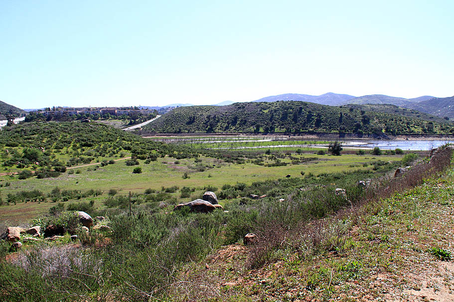
NOTE: This open area is a result of a project with the Olihain reservior (That the Elfin Forest Trails go around) located in the hills to the west the Lake Hodges. A pumping and generator system was installed that connects the lake and reservior. At night, when electricity rates are lower, water is pumped out of Lake Hodges into Olihain. During the middle of the day when electricity rates are at their peak, water is drained from Olihain (via gravity) back to Lake Hodges through a water turbine generator and the power generated is feed back into the power grid for a profit.

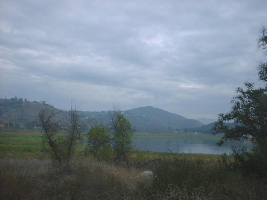
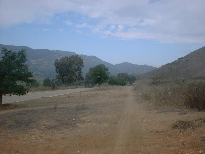
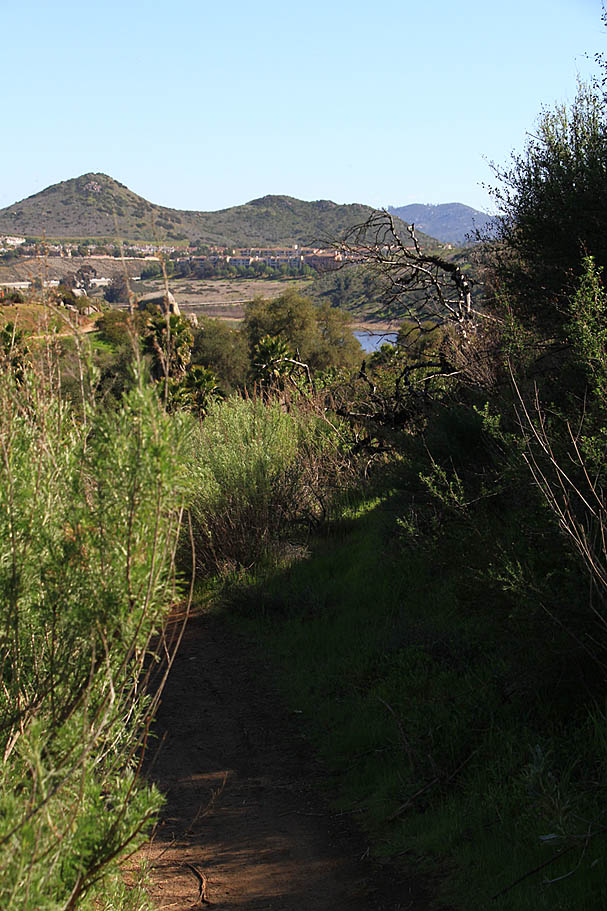
Views from along the Del Dios Trail
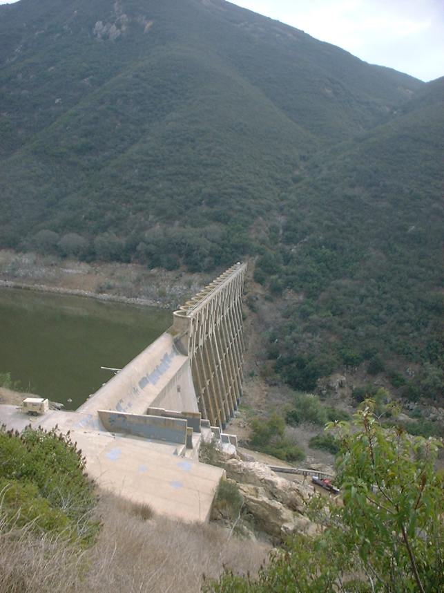
After crossing the open area on the pathway, you will be back to singletrack that roughly follows the lake for the next 7/10ths of a mile where the trail will turn more uphill. You will come to a split in the trail where you can continue roughly straight or make a left. Either way will take to the same spot but the left option is a longer rockier route that will soon take you up to an old paved road at Point H. Going straight at the junction will take you pretty much straight up to Point H. Once up on the old paved road you will hang a left. The pavement quickly turns into a smooth dirt road. Follow this for about half a mile where you will see an obvious singletrack going straight and slightly uphill as the road bears slightly to the left and downhill as it nears the dam. The singletrack climbs for 2/10ths of a mile to Del Dios Highway at Point I. The San Diequito River Park trail continues to the south from this point but for this description this will be your turn around point. My GPX track continues along further to the south.
From this point you will turn around and go back the way you came. You have the option to retrace your path along the high singletracks between Point J and G or you can stay on the paved road and when you reach the Lake Headquarters you can continue east across the large parking lot to pick up the lower fireroad on the east side. Another option you can do is a nice side loop south of the Lake Headquarters. For this option continue on the pavement past the headquarters and follow it towards launch ramp number two. When you get to the launch ramp you will see a skinny singletrack on the east side (Point K). Take this single track. At the first left in the single track go left and go up really steep section that is only 30 or so yards long. This gets you up on the ridge above the Lake Headquarters that has a nice view. You can ride east along the ridge for quite some ways and there are a couple of trails heading down the ridge to the north where they rejoin the lower fire road. Once back on the lower fire road you can continue east. Shortly after Point F the lower fireroad drops down and crosses Felicity creek. Continue along the lower fireroad back to Point R (The bridge) and then back to where you parked.
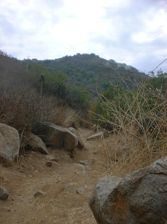
 A view from Point K looking west.
 Large North and South Route
The 990 foot long, 12' wide Bike and Pedestrain Bridge that opened in May of 2009 connecting the north and side of Lake Hodges. (Points R and O on my map) allows for a wide array of riding combinations using both areas. The route described here assumes you have read both reviews for the the north and south side and have reviewed the map.

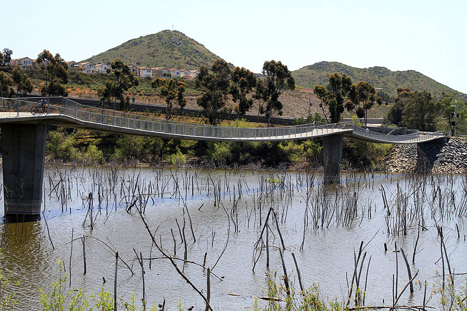
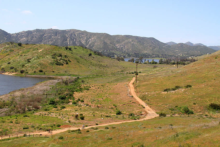
Starting from Self Storage lot, proceed south on the concrete pathway, then under the bridge and pick up the lower fireroad. At Point B take the single track up to the upper fireroad and proceed west to Point S where you will take the singletrack off to the left to drop down to Felicity creek where you will cross it and climb up to the junction of the Bernardo Mountain trail. From there you will hang a left and take the trail where it then joins up with lower fireroad (Point F). Hang a right to proceed west. At Point G bear to the right to get on the upper singletrack and bear right all junctions once the singletrack starts descending towards the the boat launch area. When you pop out near the boat ramp access road, turn left and head down to the boat launch parking lot. Pick up the lower fireroad at the back (east) of the parking lot and proceed east. Take the lower fireroad all the way back to the bridge (Point R). Cross the bridge and follow the bike path that bears off to the right alongside West Benardo Drive. At the end of the railing take the singletrack off to your right that follows the south side of the lake westward towards Point P. Bear right at all trail junctions to stay along the lake. After you go around the large hill on the southside of the lake the trail will get a little technical for a short section and then you will be back to mostly buff riding. When you get around to the south side of the large hill you will once again bear to your right. You will soon cross over a large steel/wooden bridge.


After crossing the bridge hang a right and take the undulating trail westwardly until you come out into a large opening near Point N where the main trail bears to the right and turns northward. Shortly after this point a singletrack bears off to to the right and goes up a small hill. Take this singletrack. It is a nice short climb with a little bit of technical after going over the top before it rejoins the main trail you were orginally on. At the junction of the main trail, bear to the right where the trail quickly turns into singletrack. Follow this singletrack in the northwestern direction as it parallels the shoreline towards Point O. The trail will get progressively steeper and technical the closer to Point O you get. At Point O, turn around and retrace your steps back to the sidehill single track but this time stay on the main trail back to Point N. Retrace your path back to the steel/wood bridge. Cross the bridge and when you come out into the large open area bear to your right on a fireroad up to the main junction of trails to the southeast of the large hill. Bear slightly to your left to go north on the east side of the large hill. After going over a small saddle you will drop back down to the lake where you will connect to the singletrack you came in on. Shortly after you cross over the steel bridge you will bear to your right and make your way over to the "Up and Over the Anaconddas" trail. At the bottom of this trail you will hang a right and retrace your way back to the trailhead.
South Side and Bernardo Mountain Loop
One of the routes linked above focusing on the south side trails along with Bernardo Mountain. This route includes some of the best technical bits around the lake as well as a solid technical climb along with a mighty fun descent. The GPX is a variation of the the North-South loops route with the addition of going up the mountain. The video below is from an outing that includes a fair portion of that route
If you are planning on climbing Bernardo Mountain I recommend using the upper Felicity Creek crossing. (Point S) After you cross the creek you will climb out to a single track junction. Hang a right where a mild climb starts as it travels north along the eastern side of the mountain. The trail grade seems to be in a constant state of increasing grade. You will come to a T-junction after a punchy rise. You will turn to the left to stay on the main trail as it turns towards the west. The climbing is still fairly moderate at this point. The trail will then make a switchback to the right at Point E and the trail will immediately become much more technical and steeper.


Views from Point E about 3/4ths of the way up the Bearnardo Mountain climb

Just a little ways after the steeper section starts the trail will skirt a fence surrounding a water tank. The section by the by the fence can be a pretty tough section to climb dab free. Once past the water tank you will continue with some technical climbing that includes a couple of switchbacks. As you start nearing the top the trails moves around to the west slope of the mountain and provides some even better views of the lake. There is a geocache on the peak that should be to find with a quick scramble on the rocks. There is usually a notepad in the cache to allow you to do the "I was here" thing. should When you do get to the top climb over some the rocks to find a notepad to sign in and give you thoughts on the climb and the views. When you have your fill of the place return down the mountain the way you came. It is much more fun in this direction.


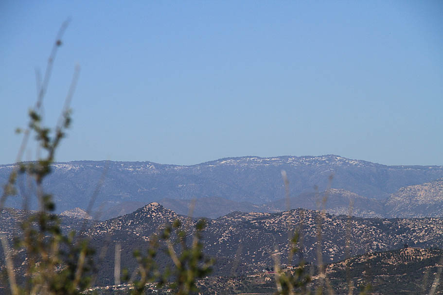
Views from the top of Bernardo Mountain
As you come down the trail you will eventually come back to the point where you picked up this singletrack. This time instead of taking the single track back down to Felicity Creek (which is now down and to you left) continue on straight where the singletrack has some more fun to offer. It will eventually switch back a few times and merge back onto the lower fire road (Point F). For the route linked above, you will turn to your left and head back towards the trailhead.
Bernardo Mountain can be added onto any of the ride options out at Lake Hodges. It can often knock a good bit of pep our your step so you may want to do it earlier in a planned big outing vice at the end.
Eastern End Easement Road Access
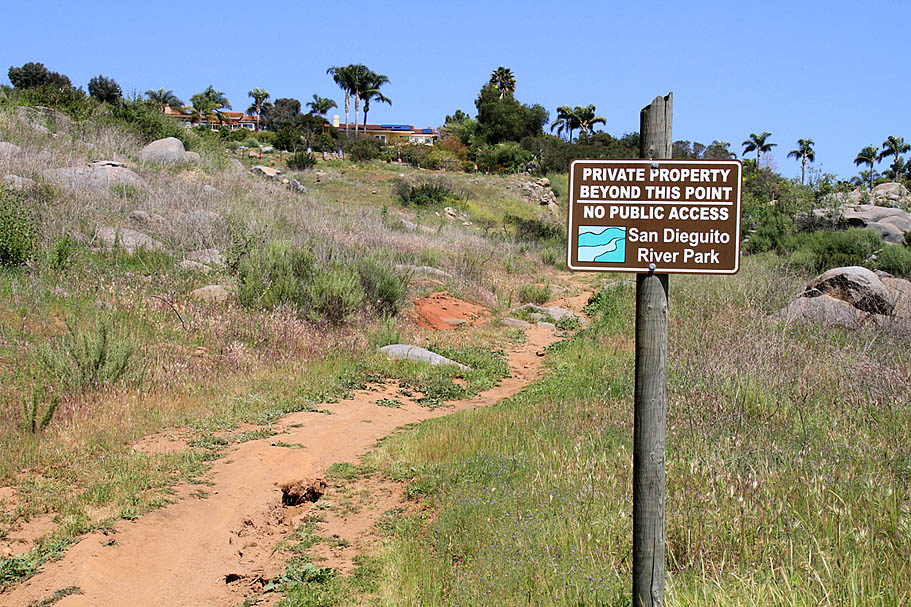
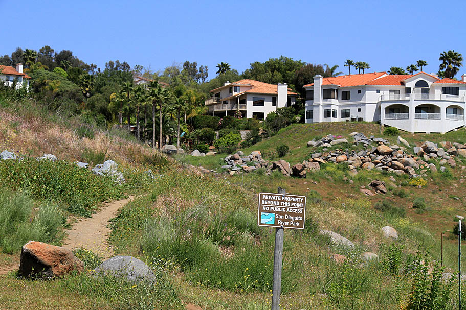
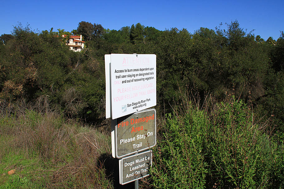
This is an issue that came up in 2010. It has settled down these days but nothing has really changed to a point that could prevent this type of isse from coming up again. I put this in the category of politics and general baffonery regarding this area of the Lake Hodges. I got a certified letter from a man representing 23 homeowners who do not like the public using the upper fireroad. Basically Point A to just short of Point D on my map. The primary beef was that the fireroad is for fire prevention purposes and not for public use. The letter went on to suggest I delete the eastern sidehill trails, and the upper fireroad from my map and make no mention of them in my description. It seems rather odd to me that land owners would have a problem with access now after decades of use. I did some research and yes indeed that fireroad is a sewer easement road that is on private property. The sewer easement is now also part of a fire prevention plan for the protection of the park and those private homes. The fire protection efforts are funded by public dollars.
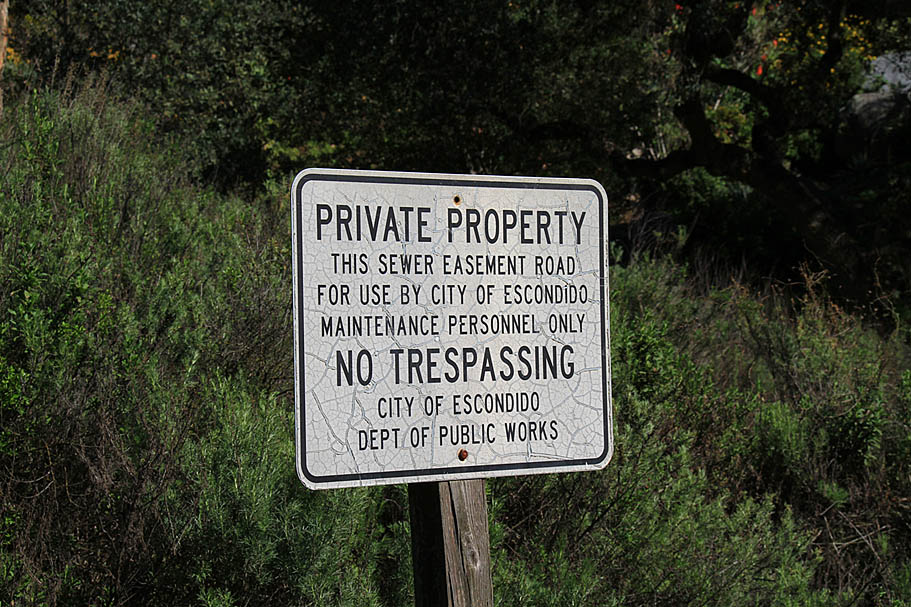
I also did some on-site research and found that over 90 percent of the properties along this fireroad have gates in their fencing to allow the home occupants access to the upper fire road. On average, the property owners land goes less than 60 feet beyond the fire prevention road to the boundary of the San Dieguito River Park (Lake Hodges). Now it is totally within their right to put up a gate in their fence to access their property on and just below the fireroad. However none of those 23 property owners have any legal access into the San Dieguito River Park directly from their properties. The San Dieguito River Park has put up signs on the some of the lower access points alerting users that the trails beyond those signs to the upper firerods are private property.
While I was doing my on-site research, I watched numerous home-owners walk through their gates and onto the fire prevention road, and proceed either either east or west, trespassing on the other landowners property. The homeowners would then enter the San Dieguito River park using what they called "illegal entry" trails near Flecita Creek or the trails near the I-15. So some of the homeowners on the eastern end of the upper fireroad, want to be able trespass amongst themselves for their own pleasure using a publically funded easement to gain access to illegal entry points into the San Dieguito River Park.
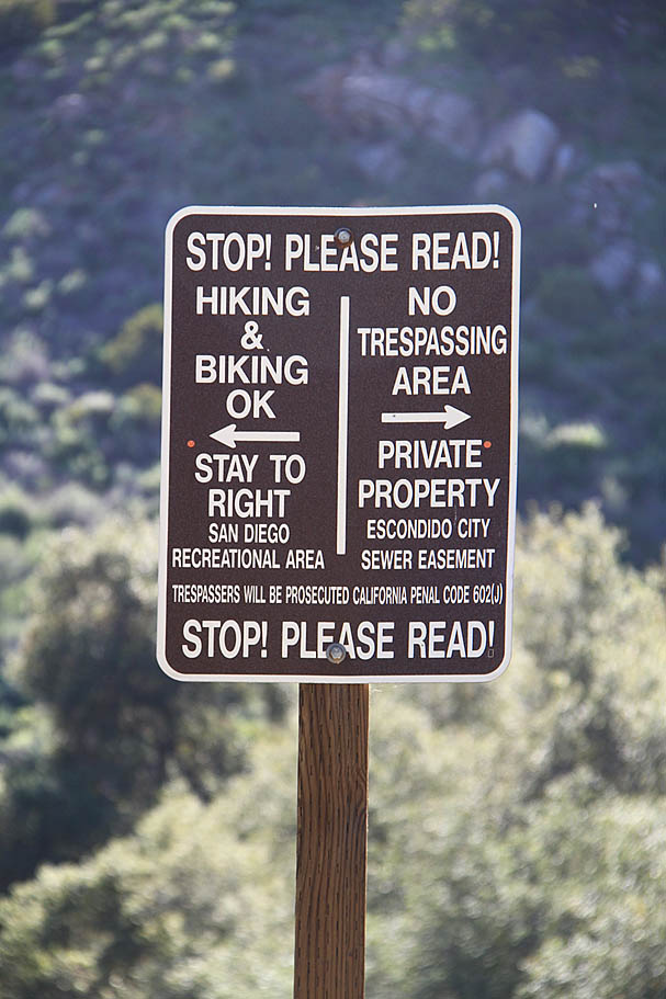
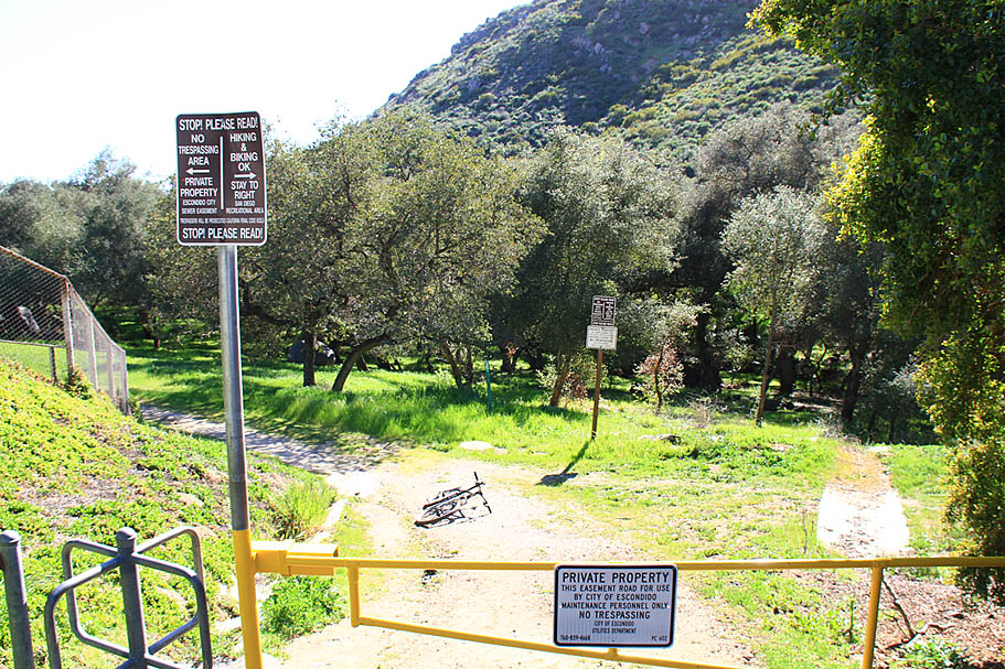
These same people are calling for the discouragement of the public from replicating their own activities. Since I first got the letter the park managment has added additional signs at the western end of the fireroad that confusingly attempts to alert users that everythng uphill of the easement road is private property and everything downhill of the easement road is okay for hiking and biking. Those signs are not present from the eastern end of the fireroad where the complaining homeowners are. The public continues to replicate the actions of the homeowners by still using the eastern end connector trails between the upper and lower fireroads despite the various signage that is out there. What should do if you? Hmmm you will have to make your own decisions about which confusing signs to follow and which signs are only there to cover the park's butt and which ones are legit. My best advice is to not stand in the middle of those trails while you think about it as you will most likely impede the enjoyment of the those trails by both the numerous homeowners and the rest of the general public you pass by on those trails all the time.