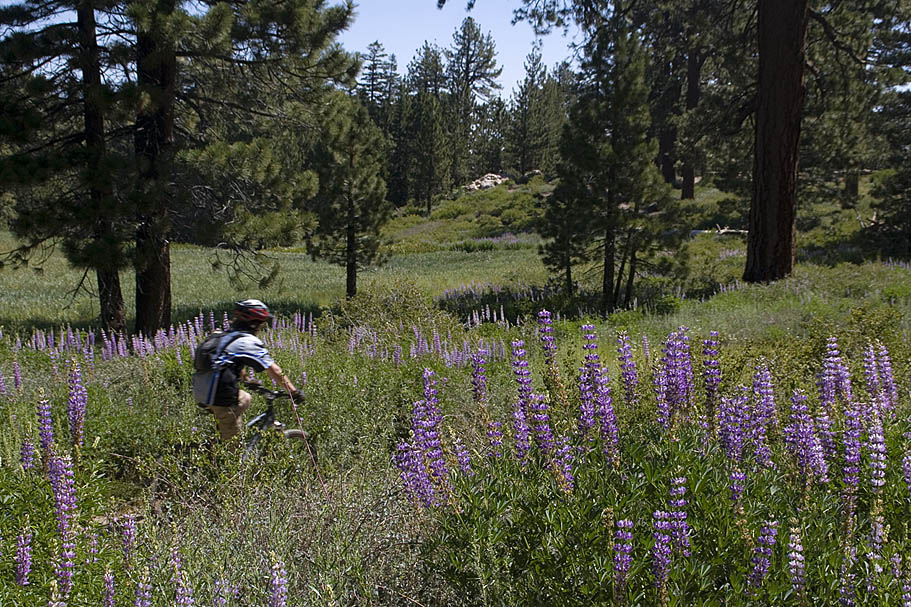
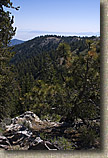
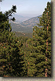
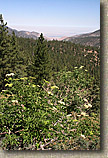
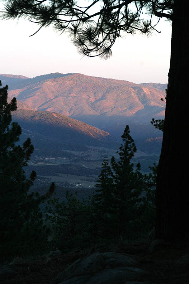
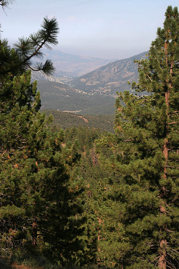
| Located in the southern portion of the Los Padres National Forest about 85 north of Los Angeles, the Mt Pinos area offers incredible views of the Sierras, the San Joaquin Valley, and Antelope Valley from various vantage points. You will also get to tall jefferey pine forests as well as alpine meadows. If that alone is not enough, the miles of buff singletrack from the summit of Mt Pinos at 8,830 feet down to the bottom of the McGill trail at 6,000 feet should do the trick. According to how do you setup your ride you could could get as much as 20+ miles of riding and a darn good workout to boot. |
| |
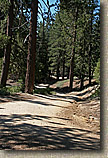
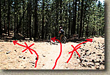
| Directions: From Los Angeles travel about 85 north on Interstate 5. Take Exit 205 for Frazier Mountain Park Road. Turn left and take Frazier Mountain Park Road for 7.1 miles. The name of the road changes to Cuddy Valley Rd at this point and you will continue 5 more miles. You will come to an intersection with arrows that point to the right for Pine Mountain Club. Do not go this way, bear to the left onto Mount Pinos Road instead. You will almost immediately see a large dirt pull out off to the right. This is your first of several potential starting points for this ride (Point K on the map). Continuing further up the road .6 miles the McGill trailhead on the right-hand side of the road (Point J). Five miles up Mt Pinos Road on the right is the McGill Campground and 1.7 miles beyond McGill Campground is the Mt Pinos Campground on the left. The Nordic Ski Base is at the top of Mt Pinos Road (Point B), 8.5 miles from the bottom. All of these locations can be used to access the Mt Pinos trail system. |
| |
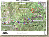  Map: Here is a map of the area. There are other trails in the area that are not shown, so if you are planning on camping for a weekend up here, there is plenty of exploring to be had. Map: Here is a map of the area. There are other trails in the area that are not shown, so if you are planning on camping for a weekend up here, there is plenty of exploring to be had.
GPS Data in various formats:
TPO GPX KML GDB |
| |
 Campground Notes: Both the McGill and Mt Pinos campgrounds offer scenic camping in Jeffery Pines. They have pit toilets but you can not depend on their spring fed water source being available so bring plenty of your own water. The Mt Pinos campground does not take reservations while the McGill campground does at least for the group sites. You can find more information by calling the Mt Pinos District Office of the Los Padres National Forest at (661) 245-3731. The single campsite fee is $12 a night. Campground Notes: Both the McGill and Mt Pinos campgrounds offer scenic camping in Jeffery Pines. They have pit toilets but you can not depend on their spring fed water source being available so bring plenty of your own water. The Mt Pinos campground does not take reservations while the McGill campground does at least for the group sites. You can find more information by calling the Mt Pinos District Office of the Los Padres National Forest at (661) 245-3731. The single campsite fee is $12 a night. |
| |
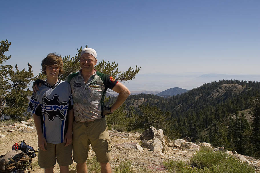
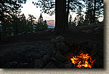
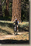
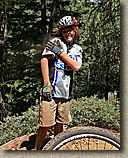
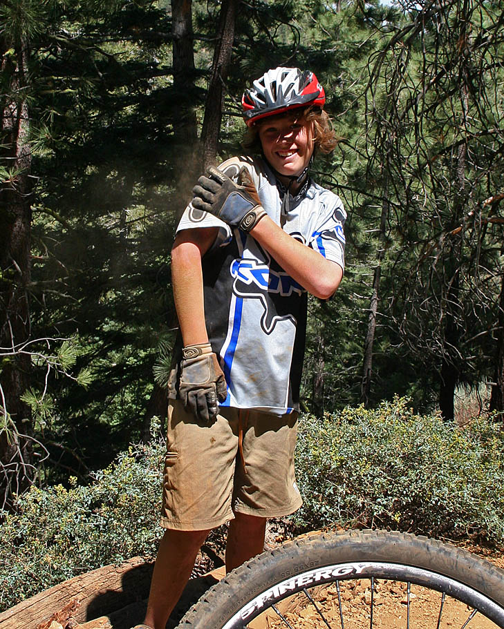
| Ride Notes: My first time here was part of a memorable Father/Son road trip with my oldest son, Will, in July of 2008. Day One of the Trip was in Santa Cruz. On day two of the trip we traveled down the Central Coast and made our way here. We camped that night and then rode the following morning before heading home. |
| |
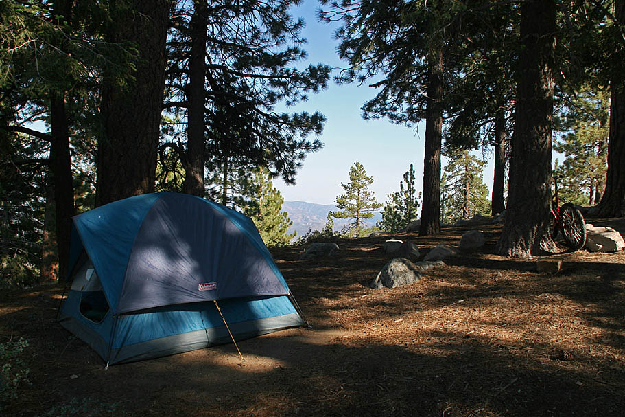
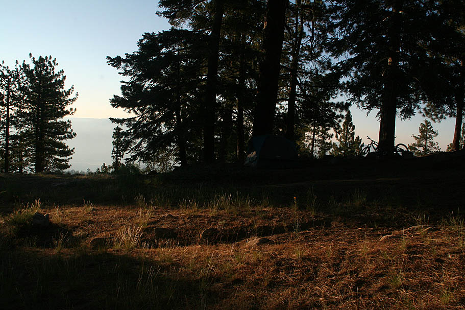
  Mt Pinos is outside of my maxiumum driving distance for a one-day ride. So we camped at Mount Pinos Campground and rode from there. The camp ground
was completely empty when we arrived so having our pick of the place was pretty cool. Later that evening two more groups would come in, but for the most part we had the great views virtually all to ourselves. Mt Pinos is outside of my maxiumum driving distance for a one-day ride. So we camped at Mount Pinos Campground and rode from there. The camp ground
was completely empty when we arrived so having our pick of the place was pretty cool. Later that evening two more groups would come in, but for the most part we had the great views virtually all to ourselves.
|
  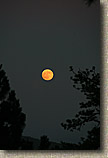 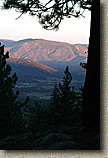 |
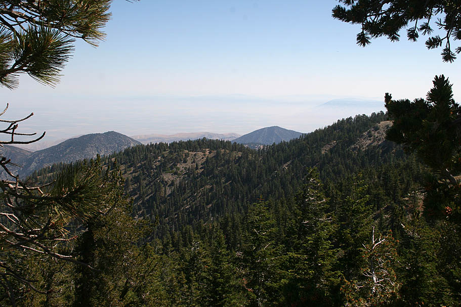
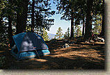
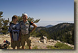
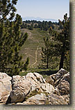
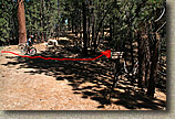
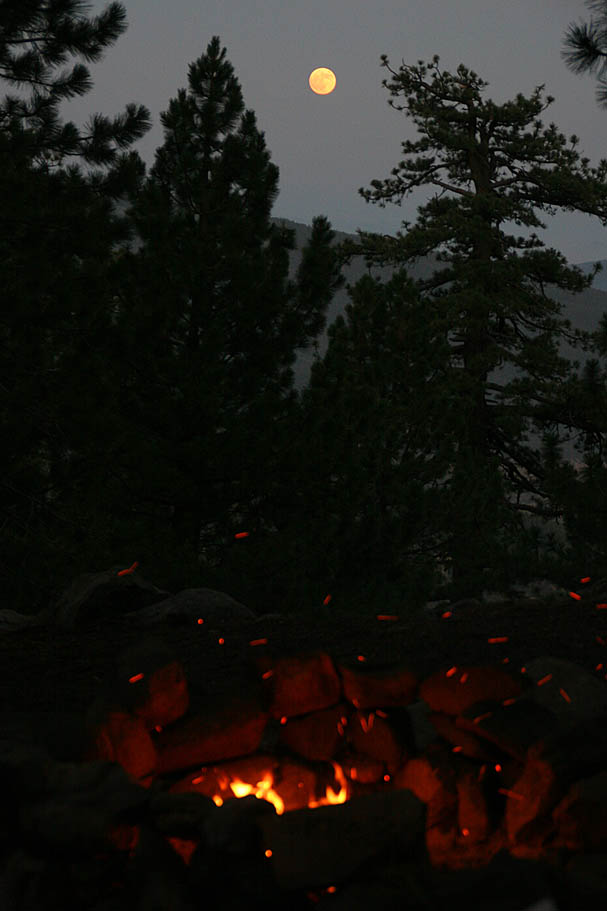
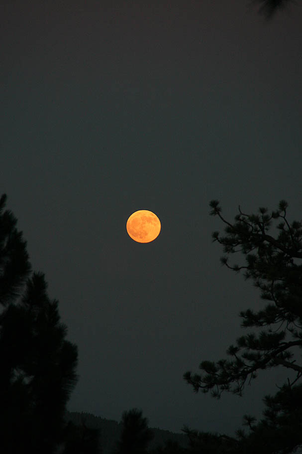
| Views from our campsite on Mount Pinos |
| |
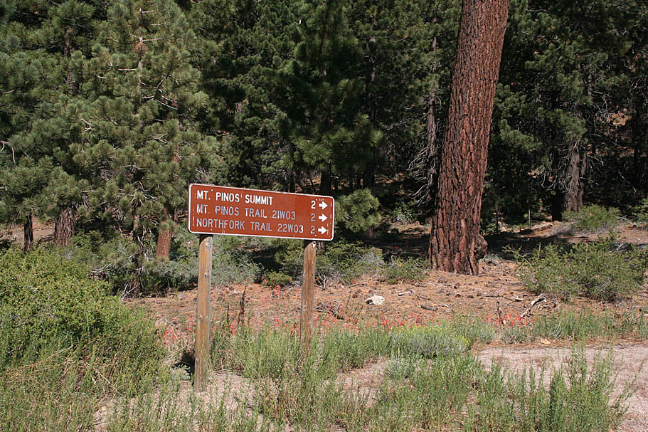
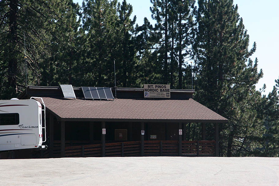
  Starting from the Mount Pinos Campgroup at around 7,800 feet you will come out of the campgroup and hang a left and climb on mild-grade pavement for just under two miles to the Mt Pinos Nordic Base facility. Just as you come into the parking lot you will see a large sign on your left, pointing you towards the Mt Pinos summit. Take the doubletrack fireroad by the sign and continue climbing. Starting from the Mount Pinos Campgroup at around 7,800 feet you will come out of the campgroup and hang a left and climb on mild-grade pavement for just under two miles to the Mt Pinos Nordic Base facility. Just as you come into the parking lot you will see a large sign on your left, pointing you towards the Mt Pinos summit. Take the doubletrack fireroad by the sign and continue climbing.
|
| |
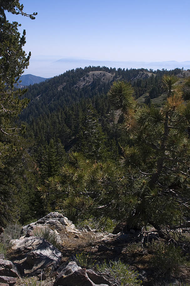
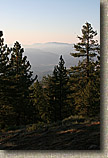
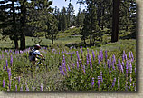
 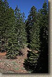 The Jeffery Pines are quite nice through here and while the grade does increase a little in spots, it is still quite mild. Then again you passed through 8,300 feet at the end of the pavement so "pushing it" should get some huffing and puffin out of you. About a mile into this portion of the climb, you will exit out of the trees for a bit and enjoy a bit of alpine meadow riding as well as short pauses from climbing. You will see microwave tower off to the right that you will soon be at. The Jeffery Pines are quite nice through here and while the grade does increase a little in spots, it is still quite mild. Then again you passed through 8,300 feet at the end of the pavement so "pushing it" should get some huffing and puffin out of you. About a mile into this portion of the climb, you will exit out of the trees for a bit and enjoy a bit of alpine meadow riding as well as short pauses from climbing. You will see microwave tower off to the right that you will soon be at. |
| |
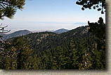  Just as it looks like you are going to go past the microwave tower you will see a split in the fireroad off to the right. Take this spur and go up to the towers. Look around a bit and you will find a USGS label in the rock labeled Mt Pinos. Enjoy the views from 8,830 feet. Just as it looks like you are going to go past the microwave tower you will see a split in the fireroad off to the right. Take this spur and go up to the towers. Look around a bit and you will find a USGS label in the rock labeled Mt Pinos. Enjoy the views from 8,830 feet.
|
| |
  You can continue on the main fireroad for just a bit further where the trail ends and several other trails split off at the wilderness boundary (NO Bikes. Bummer as I have friends who have told of killer epics past here in the pre-wilderness days) From the mircowave towers we turned around and headed back the way we came. You can continue on the main fireroad for just a bit further where the trail ends and several other trails split off at the wilderness boundary (NO Bikes. Bummer as I have friends who have told of killer epics past here in the pre-wilderness days) From the mircowave towers we turned around and headed back the way we came.
|
| |
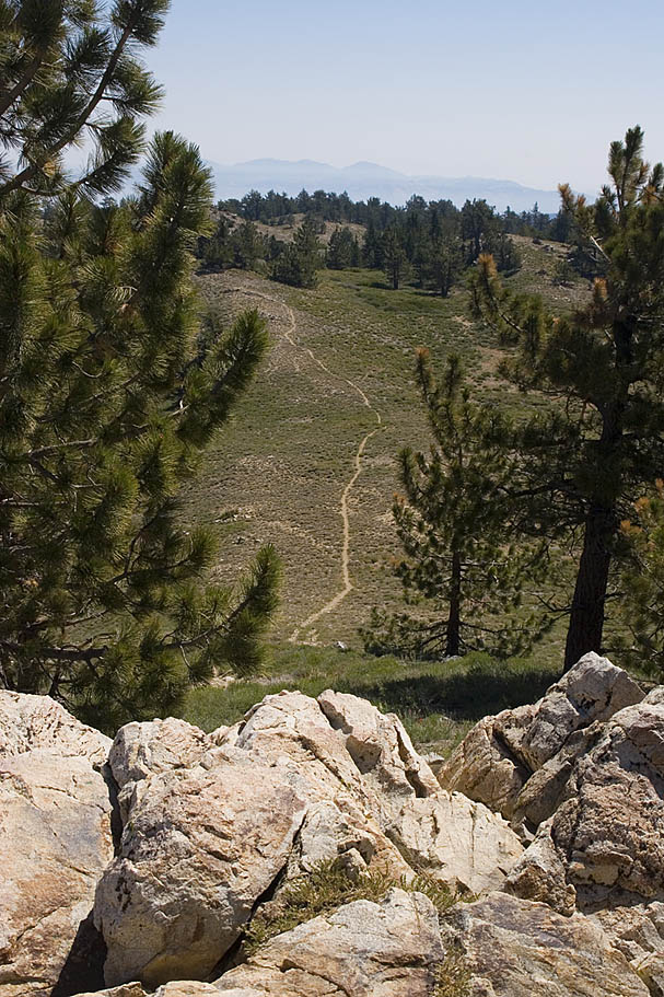
  Beside one very tiny rise, it was an all downhill affair back down at the Nordic Base facility (Point-B). We went diagonally across the parking lot and picked up the singletrack that went along the right-hand edge of a small meadow. Look for signs for the Chula Vista campground as well as the Harvest trail. Beside one very tiny rise, it was an all downhill affair back down at the Nordic Base facility (Point-B). We went diagonally across the parking lot and picked up the singletrack that went along the right-hand edge of a small meadow. Look for signs for the Chula Vista campground as well as the Harvest trail.
|
| |
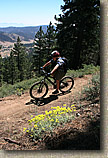
  Soon after you have gotten on the singletrack you will come to the end of the small meadow wher there is a split off to the left for the campsites as well as a pit toliet. Stay to your right (which is nearly straight) to continue on this trail (Point C). In about a quarter-mile you will come to another intersection. It is signned with the Knoll trail going off to the right as the Harvest trail continues in a gradual bend to the left. Take the Harvest trail. The trail is a big bunch of fun where you can carry lots of speed and enjoy the flow. In just over half a mile (Point E) there will be a ski trail going off to the right. Stay on the Harvest trail. Shortly there after you will come to T-intersection with an old fireroad. Hang a right an in about 100 yards you will come out onto Mt Pinos Road. Soon after you have gotten on the singletrack you will come to the end of the small meadow wher there is a split off to the left for the campsites as well as a pit toliet. Stay to your right (which is nearly straight) to continue on this trail (Point C). In about a quarter-mile you will come to another intersection. It is signned with the Knoll trail going off to the right as the Harvest trail continues in a gradual bend to the left. Take the Harvest trail. The trail is a big bunch of fun where you can carry lots of speed and enjoy the flow. In just over half a mile (Point E) there will be a ski trail going off to the right. Stay on the Harvest trail. Shortly there after you will come to T-intersection with an old fireroad. Hang a right an in about 100 yards you will come out onto Mt Pinos Road. |
| |
  Hang a quick and right and get on the other side of the road and within 50 yards you will see (off to your left) a rather steep but smooth drop-in to a trail about 20 feet below the road level. (This route is optional as you could hang a left on Mt Pinos road and then turn into the Mt Pinos campground.) Taking the drop-in and bearing to your left takes you into the Mt Pinos campground. Near the main kiosk in the center of the camp ground, you will pickup the South Ridge trail. Hang a quick and right and get on the other side of the road and within 50 yards you will see (off to your left) a rather steep but smooth drop-in to a trail about 20 feet below the road level. (This route is optional as you could hang a left on Mt Pinos road and then turn into the Mt Pinos campground.) Taking the drop-in and bearing to your left takes you into the Mt Pinos campground. Near the main kiosk in the center of the camp ground, you will pickup the South Ridge trail. |
| |
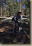
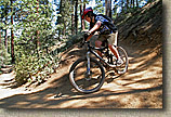
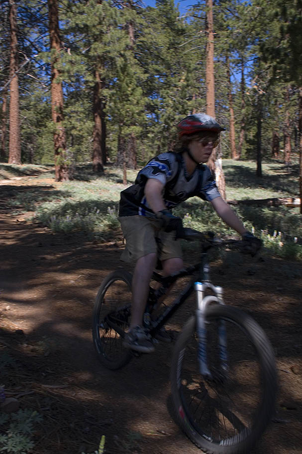
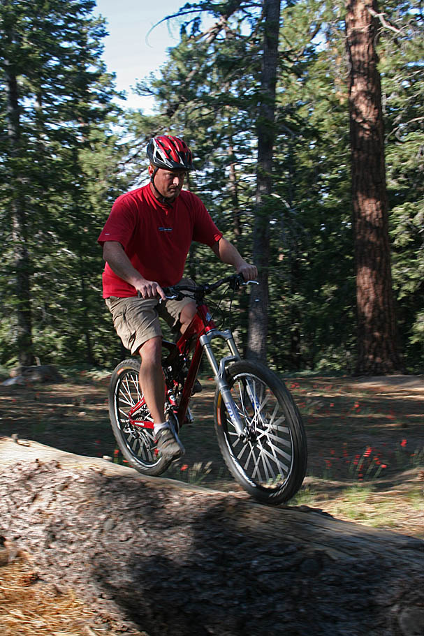
 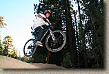 The South Ridge trail is an intermediate cross country ski, which is a ton of fun on a mountain bike. They have built the trail with numerous rises which make excellent kickers for catching some XC-sized jumps on a mountain bike. My son thought this trail was the best thing since sliced bread. Wither you are a crusty expierenced rider or youngest, you should find this a fun section. The South Ridge trail is an intermediate cross country ski, which is a ton of fun on a mountain bike. They have built the trail with numerous rises which make excellent kickers for catching some XC-sized jumps on a mountain bike. My son thought this trail was the best thing since sliced bread. Wither you are a crusty expierenced rider or youngest, you should find this a fun section. |
| |
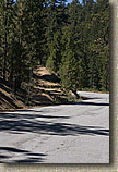  The South Ridge trail ends when it comes out onto Mt Pinos Road (Point G), as you come out onto the road you will see the obivous trail just down and on the other side of the road. This trail will climb just a short bit and then bend to the north to skirt just to the west the McGill campground. The South Ridge trail ends when it comes out onto Mt Pinos Road (Point G), as you come out onto the road you will see the obivous trail just down and on the other side of the road. This trail will climb just a short bit and then bend to the north to skirt just to the west the McGill campground. |
| |
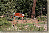
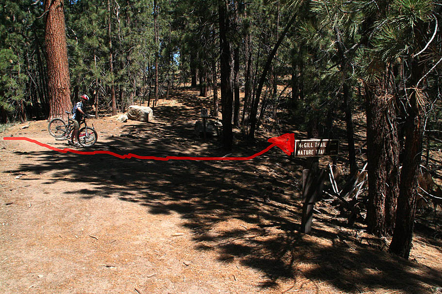
  In about a 1/4 of a mile you will come to a small clearing and a 4-way intersection. At first this can seem a little confusing as there are no visible signs from the way you came. Your options are left/uphill, right/level and straight/downhill. Straight and downhill onto the McGill trail is the way you want to go. To give yourself better assurance, if you look down the right/level trail option, you will see the back of a sign about 20 yards down the trail. If you walk down there you will see that the front of the sign points to the McGill trail. In about a 1/4 of a mile you will come to a small clearing and a 4-way intersection. At first this can seem a little confusing as there are no visible signs from the way you came. Your options are left/uphill, right/level and straight/downhill. Straight and downhill onto the McGill trail is the way you want to go. To give yourself better assurance, if you look down the right/level trail option, you will see the back of a sign about 20 yards down the trail. If you walk down there you will see that the front of the sign points to the McGill trail. |
| |
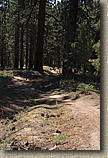
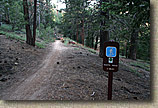
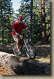
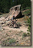
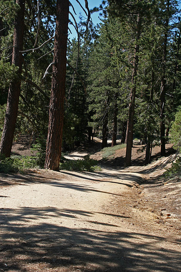
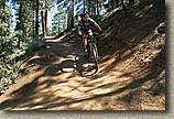  About 1/10th of a mile after you get on the McGill trail (Point I), there is trail coming in sharply from your right . Stay on the main McGill trail. After this point you will be enjoying some seriously blissful descending on mostly buff singletrck. You will shed off about 1600 feet over the next 3.5 miles. You will have some switchbacks to contend with but none of them are particularly technical. The downhill edge of the tread is often fragile so please pay due regard to stay in the middle of the tread. About 1/10th of a mile after you get on the McGill trail (Point I), there is trail coming in sharply from your right . Stay on the main McGill trail. After this point you will be enjoying some seriously blissful descending on mostly buff singletrck. You will shed off about 1600 feet over the next 3.5 miles. You will have some switchbacks to contend with but none of them are particularly technical. The downhill edge of the tread is often fragile so please pay due regard to stay in the middle of the tread. |
| |
  The scenery is quite incredible and I passed a thousands Kodak moments. All too soon however the McGill trail will come down near the bottom of the Mt Pinos Road (Point J). There is a singletrack that parallels the road downhill so if you parked at the pullout near the junction of Cuddy Valley Road and Mt Pinos Road you take that trail. The scenery is quite incredible and I passed a thousands Kodak moments. All too soon however the McGill trail will come down near the bottom of the Mt Pinos Road (Point J). There is a singletrack that parallels the road downhill so if you parked at the pullout near the junction of Cuddy Valley Road and Mt Pinos Road you take that trail. |
| |
  If you started at the the McGill or Mount Pinos campgrounds, you can either climb the McGill trail or take the road. Mt Pinos road is quite mild in grade and will either be a 4.5 or 6 mile climb according to where you camped. While I have not climbed the McGill trail, I have climbed the road. My thinking is the road is an easier climb. Climbing Mount Pinos Road and onto the summit, followed by a descent down is about a 20 mile loop. An out-and-back on the McGill trail and onto the summit is between 16 and 17 miles. Camping on the mountain allows you to split up the options. One things is for certain you should be able to have a great time out on these trails. If you started at the the McGill or Mount Pinos campgrounds, you can either climb the McGill trail or take the road. Mt Pinos road is quite mild in grade and will either be a 4.5 or 6 mile climb according to where you camped. While I have not climbed the McGill trail, I have climbed the road. My thinking is the road is an easier climb. Climbing Mount Pinos Road and onto the summit, followed by a descent down is about a 20 mile loop. An out-and-back on the McGill trail and onto the summit is between 16 and 17 miles. Camping on the mountain allows you to split up the options. One things is for certain you should be able to have a great time out on these trails. |
| |
| |

 Campground Notes: Both the McGill and Mt Pinos campgrounds offer scenic camping in Jeffery Pines. They have pit toilets but you can not depend on their spring fed water source being available so bring plenty of your own water. The Mt Pinos campground does not take reservations while the McGill campground does at least for the group sites. You can find more information by calling the Mt Pinos District Office of the Los Padres National Forest at (661) 245-3731. The single campsite fee is $12 a night.
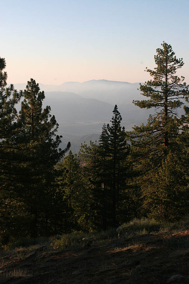
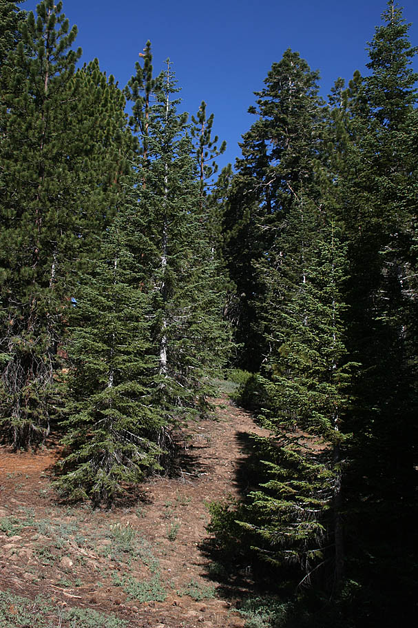 The Jeffery Pines are quite nice through here and while the grade does increase a little in spots, it is still quite mild. Then again you passed through 8,300 feet at the end of the pavement so "pushing it" should get some huffing and puffin out of you. About a mile into this portion of the climb, you will exit out of the trees for a bit and enjoy a bit of alpine meadow riding as well as short pauses from climbing. You will see microwave tower off to the right that you will soon be at.
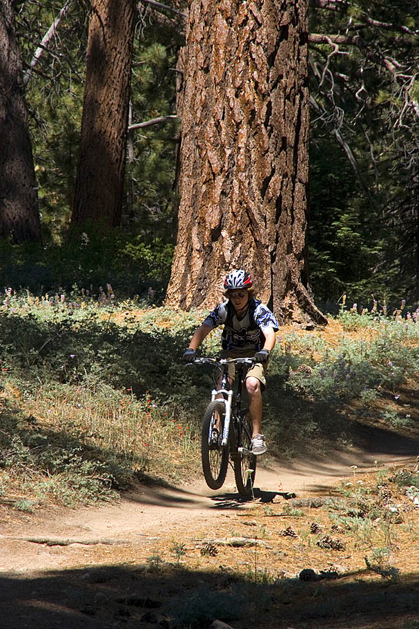
 Soon after you have gotten on the singletrack you will come to the end of the small meadow wher there is a split off to the left for the campsites as well as a pit toliet. Stay to your right (which is nearly straight) to continue on this trail (Point C). In about a quarter-mile you will come to another intersection. It is signned with the Knoll trail going off to the right as the Harvest trail continues in a gradual bend to the left. Take the Harvest trail. The trail is a big bunch of fun where you can carry lots of speed and enjoy the flow. In just over half a mile (Point E) there will be a ski trail going off to the right. Stay on the Harvest trail. Shortly there after you will come to T-intersection with an old fireroad. Hang a right an in about 100 yards you will come out onto Mt Pinos Road.
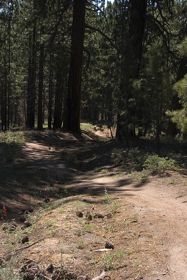
 Hang a quick and right and get on the other side of the road and within 50 yards you will see (off to your left) a rather steep but smooth drop-in to a trail about 20 feet below the road level. (This route is optional as you could hang a left on Mt Pinos road and then turn into the Mt Pinos campground.) Taking the drop-in and bearing to your left takes you into the Mt Pinos campground. Near the main kiosk in the center of the camp ground, you will pickup the South Ridge trail.
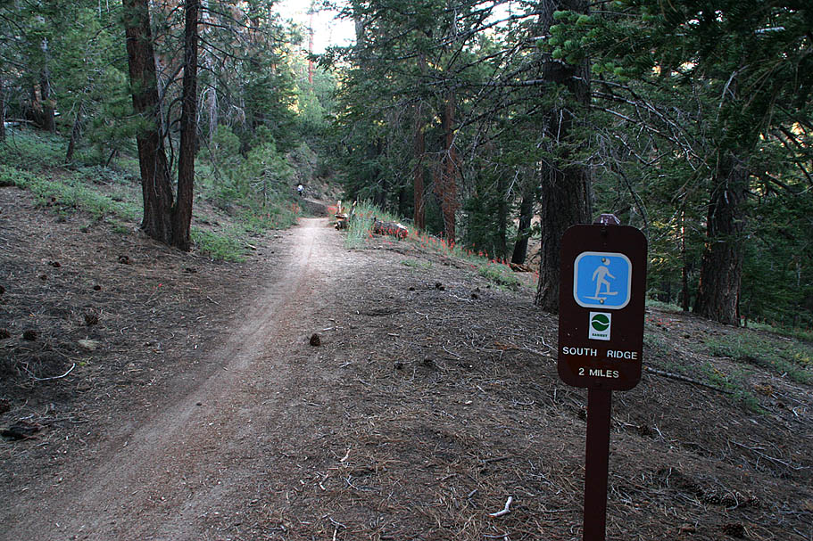
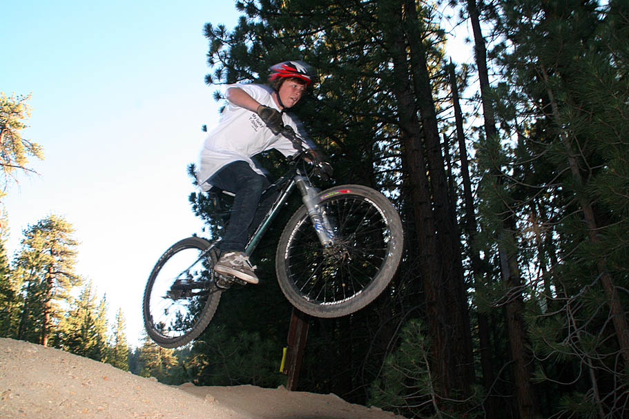 The South Ridge trail is an intermediate cross country ski, which is a ton of fun on a mountain bike. They have built the trail with numerous rises which make excellent kickers for catching some XC-sized jumps on a mountain bike. My son thought this trail was the best thing since sliced bread. Wither you are a crusty expierenced rider or youngest, you should find this a fun section.
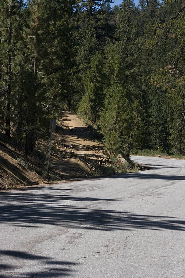
 The South Ridge trail ends when it comes out onto Mt Pinos Road (Point G), as you come out onto the road you will see the obivous trail just down and on the other side of the road. This trail will climb just a short bit and then bend to the north to skirt just to the west the McGill campground.
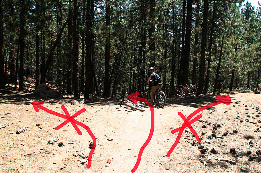
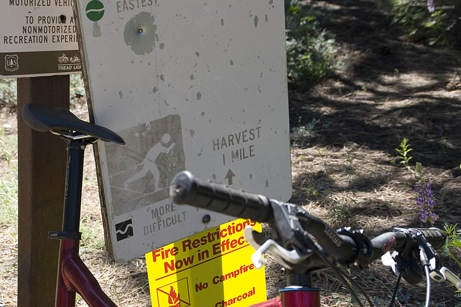
 In about a 1/4 of a mile you will come to a small clearing and a 4-way intersection. At first this can seem a little confusing as there are no visible signs from the way you came. Your options are left/uphill, right/level and straight/downhill. Straight and downhill onto the McGill trail is the way you want to go. To give yourself better assurance, if you look down the right/level trail option, you will see the back of a sign about 20 yards down the trail. If you walk down there you will see that the front of the sign points to the McGill trail.
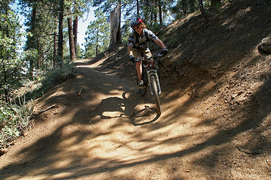
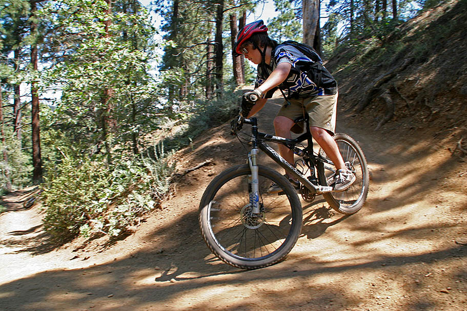 About 1/10th of a mile after you get on the McGill trail (Point I), there is trail coming in sharply from your right . Stay on the main McGill trail. After this point you will be enjoying some seriously blissful descending on mostly buff singletrck. You will shed off about 1600 feet over the next 3.5 miles. You will have some switchbacks to contend with but none of them are particularly technical. The downhill edge of the tread is often fragile so please pay due regard to stay in the middle of the tread.
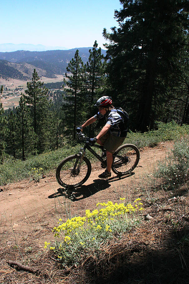 The scenery is quite incredible and I passed a thousands Kodak moments. All too soon however the McGill trail will come down near the bottom of the Mt Pinos Road (Point J). There is a singletrack that parallels the road downhill so if you parked at the pullout near the junction of Cuddy Valley Road and Mt Pinos Road you take that trail.
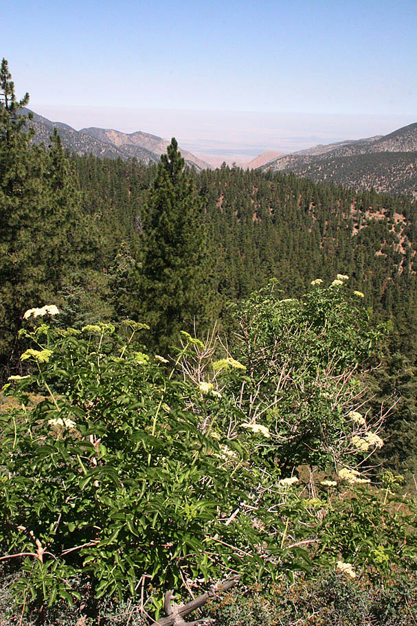
 If you started at the the McGill or Mount Pinos campgrounds, you can either climb the McGill trail or take the road. Mt Pinos road is quite mild in grade and will either be a 4.5 or 6 mile climb according to where you camped. While I have not climbed the McGill trail, I have climbed the road. My thinking is the road is an easier climb. Climbing Mount Pinos Road and onto the summit, followed by a descent down is about a 20 mile loop. An out-and-back on the McGill trail and onto the summit is between 16 and 17 miles. Camping on the mountain allows you to split up the options. One things is for certain you should be able to have a great time out on these trails.