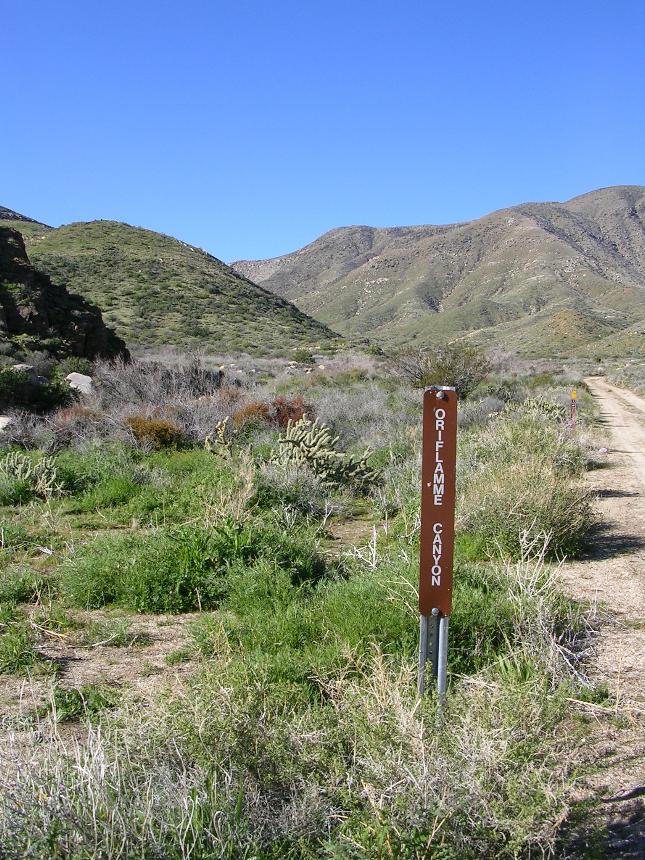
Oriflamme Canyon Loop
This is a nice 16 mile lollipop shaped loop that starts out east of Julian in the tiny little community of Banner. (Blink and you'll miss it) While this ride does not have much the way of technical features it does give you a nice workout with around 2900 feet of climbing while offering you great views of the foothills of the Cuyamaca and Laguna Mountains before you descend into the Anza Borrego Desert. The loop actually consists of three canyons total, you will climb Chariot Canyon, descend Oriflamme Canyon, and loop back by climb Rodriguez Canyon.
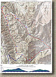
 The
map of this loop to the left is set up to be printed printed 8.5" x
14" paper.
The
map of this loop to the left is set up to be printed printed 8.5" x
14" paper.
Eletronic Files Formats: TOPO!, GPX, GDB, KML
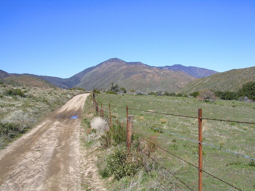
Directions: Mapquest your way to Julian then take Hwy 78 6.6 miles east. Look for Chariot Canyon fireroad (unmarked, but an obvious dirt road entrance on your right). If you pass the Banner Recreation Ranch Store on your left you have gone to far. The word I have is that the owners of the store are not particularly cool with non-patrons parking in their lot. I parked along the side of the fireroad just off the pavement.
HAZARDS: This place could be an oven in the summer so the typical water, and sunscreen warnings are advised.
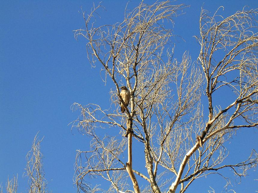
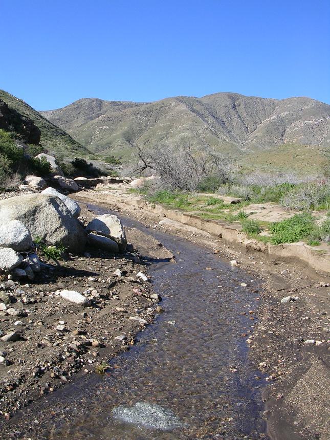
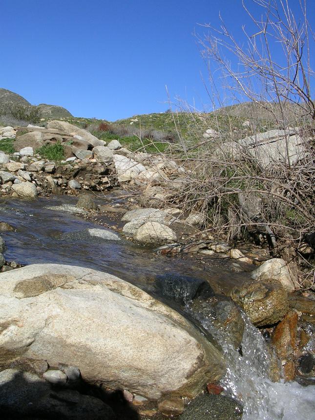
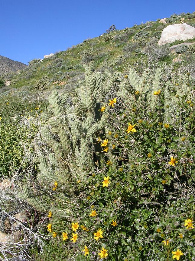
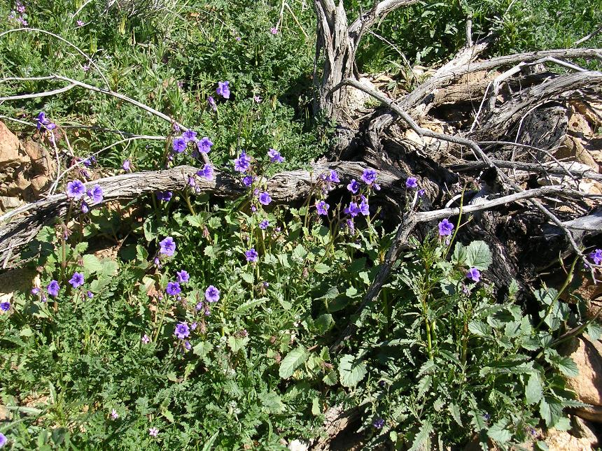
RIDE DESCRIPTION: FORWARD: The pictures of the Anza Borrego Desert on this page are not the typical state of the flora of the desert. Only during a short period of time in the wintertime is this area so green and lush. These pictures where taken in January 2005, after record amounts of rainfall over the previous months. I would also suspect that the climb up Rodriguez Canyon could be looser in drier conditions but it was pretty solid and packed when I did this ride.
 From where you parked head
in Banner, at 2,770 feet, head south and uphill along the 4WD/dirt
road. After you round the first turn you will see a gate. If
closed please make sure to close it behind you. From there you continue
climbing up Chariot Canyon. At 1.5 miles you you will see where the
Rodriguez Canyon fireroad meets up Chariot Canyon. You will be coming down
this road to the left as you finish up this loop. NOTE: From this
point on for the next few miles the Chariot Canyon fireroad is also the part of
the California Riding and Hiking Trail (CRHT).
From where you parked head
in Banner, at 2,770 feet, head south and uphill along the 4WD/dirt
road. After you round the first turn you will see a gate. If
closed please make sure to close it behind you. From there you continue
climbing up Chariot Canyon. At 1.5 miles you you will see where the
Rodriguez Canyon fireroad meets up Chariot Canyon. You will be coming down
this road to the left as you finish up this loop. NOTE: From this
point on for the next few miles the Chariot Canyon fireroad is also the part of
the California Riding and Hiking Trail (CRHT).
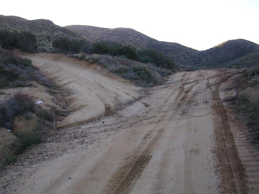
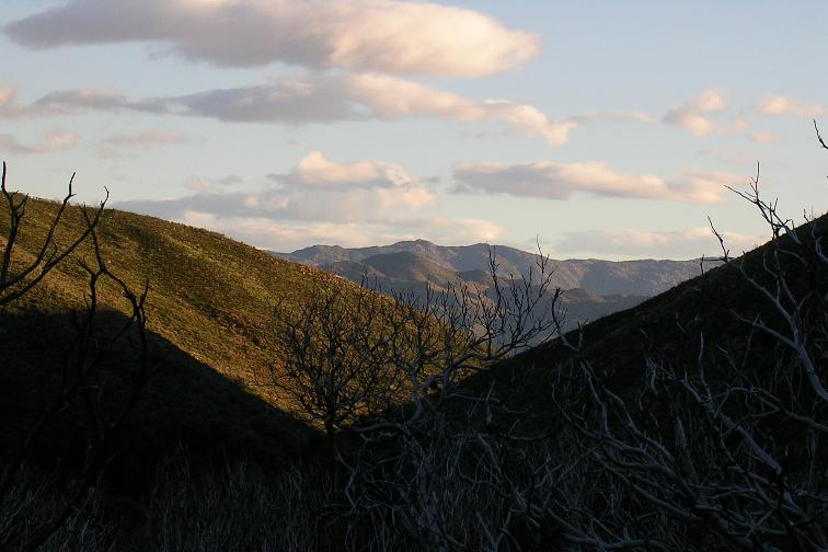
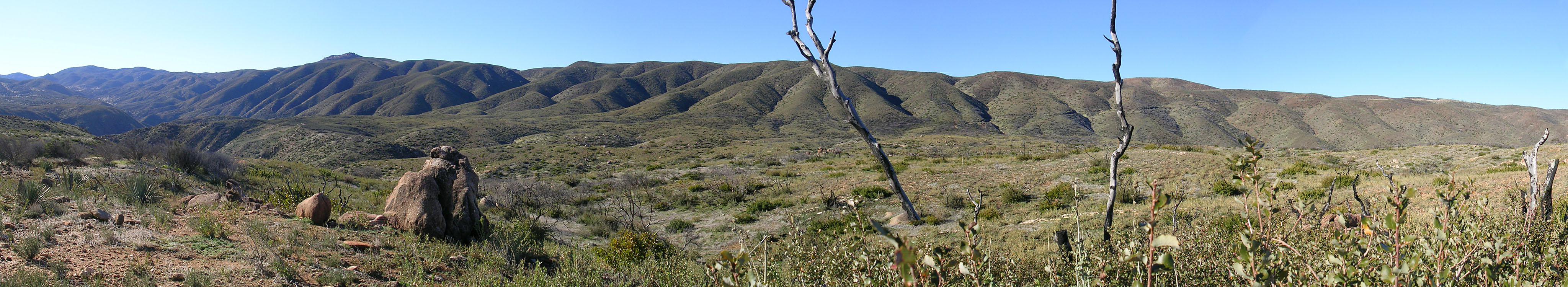
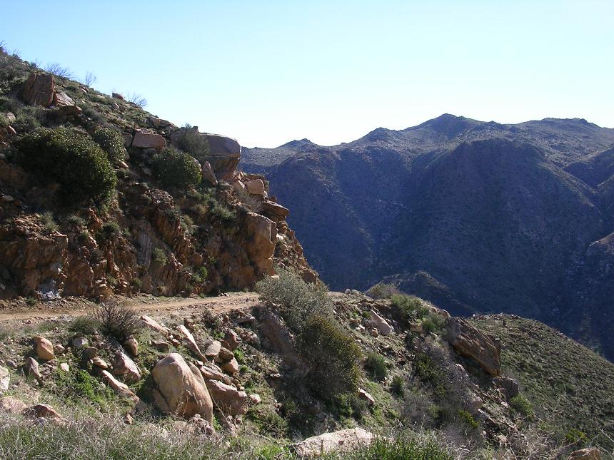
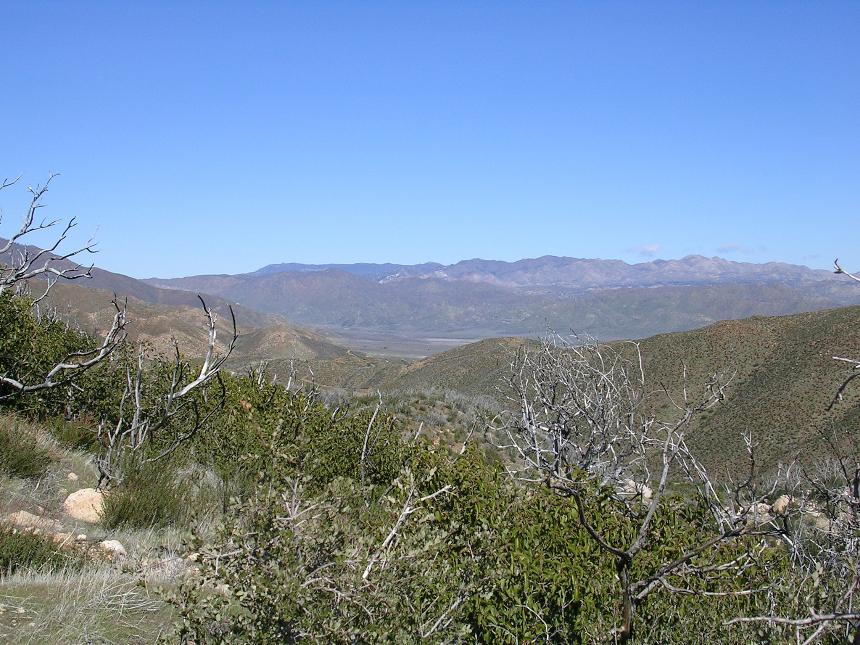
Views from Chariot Canyon looking back towards Banner to the
north.
At around 2.0 miles you come to a small saddle where you start
descending.
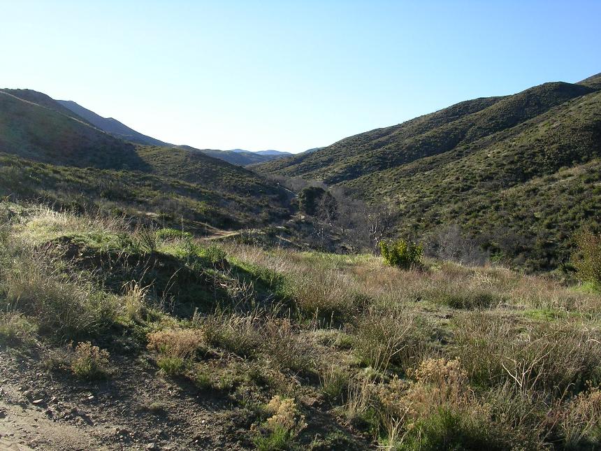
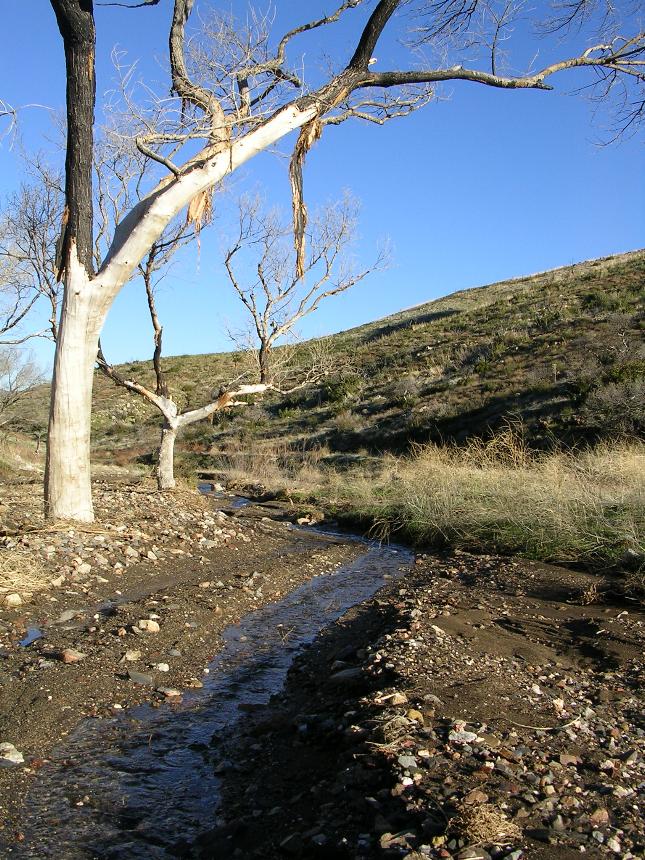
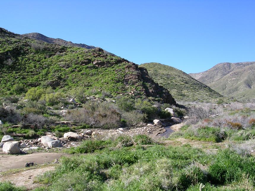
There are a few rollers here and there but you are soon back to an extremely gradual climb with an average grade of only 5 percent. You could tell that this section used to be extremely lush with Oaks, but a fire a few years ago knocked the lushness factor down a few notches. The area is however recovering quite nicely.
 At
4.75 miles the fireroad turns sharply left and uphill. The California
Riding and Hiking trail continues straight as singletrack and works is way up
into the Cuyamaca Mountains to your right (east). If should be able to see
trailing working it's way back and forth up the hillside NOTE:
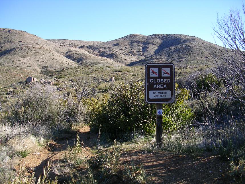
The CHRT is open to mountain bikes in all areas except wilderness unless
otherwise posted.
At
4.75 miles the fireroad turns sharply left and uphill. The California
Riding and Hiking trail continues straight as singletrack and works is way up
into the Cuyamaca Mountains to your right (east). If should be able to see
trailing working it's way back and forth up the hillside NOTE:
The CHRT is open to mountain bikes in all areas except wilderness unless
otherwise posted.
 So
make the left and head up the steeper section of the fireroad. The steep
part is over pretty quick and after a 1/4 mile you will see a very inviting
singletrack heading off to the left. It looks quite wonderful as you
can see that it gradually works its way along the contours of Chariot Mountain
back to the northeast. There is sign warning all those pesky
motor vehicles to stay off this trail. Hee Ya!! BUT the devil is in
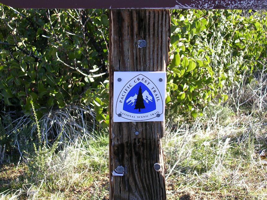
the details as a closer inspection of the sign revealed that this is a section
of the Pacific Crest Trail which is off-limits to bicycles. So
after you get over having to bypass this singletrack continue up the
fireroad. You should have already noticed that the trees are gone and you
are now in sparse chaparral. At 5.3 miles you will pass by the junction of
the Mason Valley Truck trail to your right
So
make the left and head up the steeper section of the fireroad. The steep
part is over pretty quick and after a 1/4 mile you will see a very inviting
singletrack heading off to the left. It looks quite wonderful as you
can see that it gradually works its way along the contours of Chariot Mountain
back to the northeast. There is sign warning all those pesky
motor vehicles to stay off this trail. Hee Ya!! BUT the devil is in
the details as a closer inspection of the sign revealed that this is a section
of the Pacific Crest Trail which is off-limits to bicycles. So
after you get over having to bypass this singletrack continue up the
fireroad. You should have already noticed that the trees are gone and you
are now in sparse chaparral. At 5.3 miles you will pass by the junction of
the Mason Valley Truck trail to your right
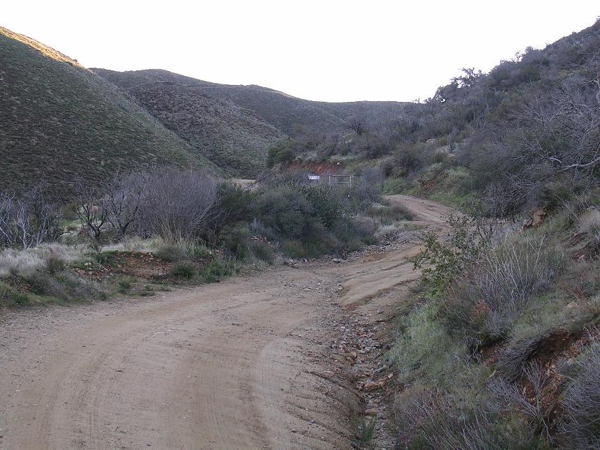
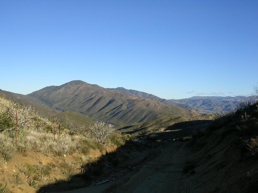
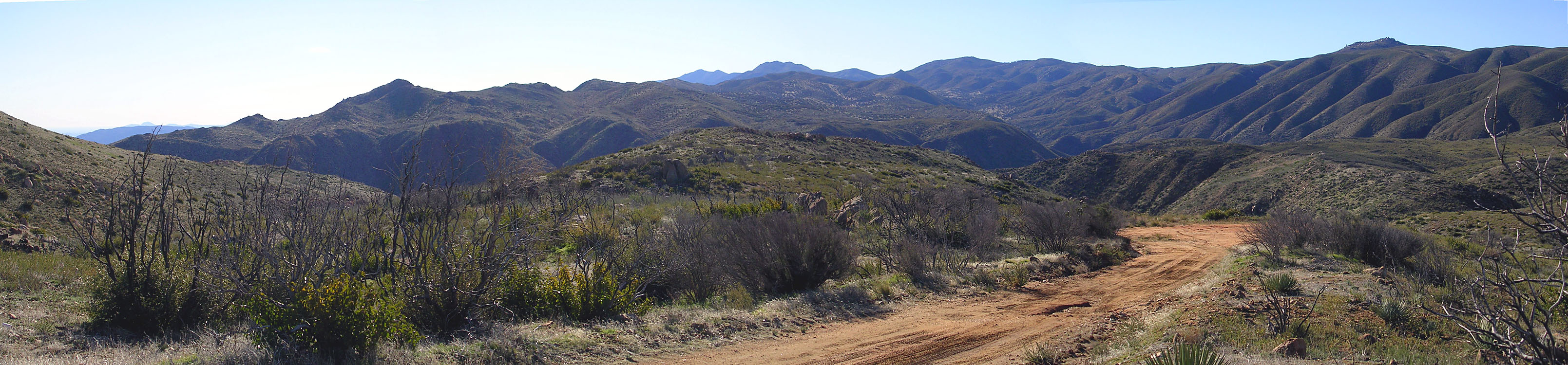
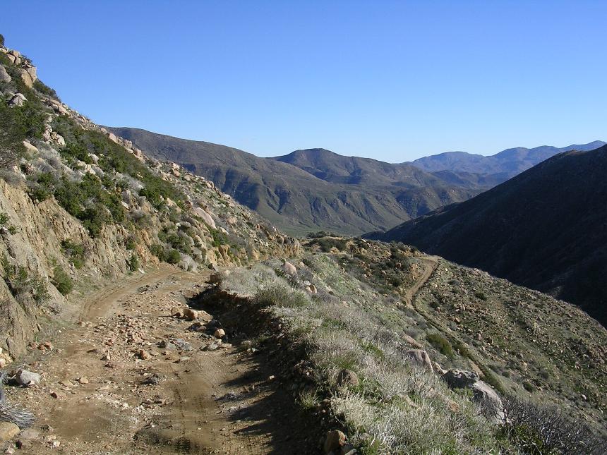
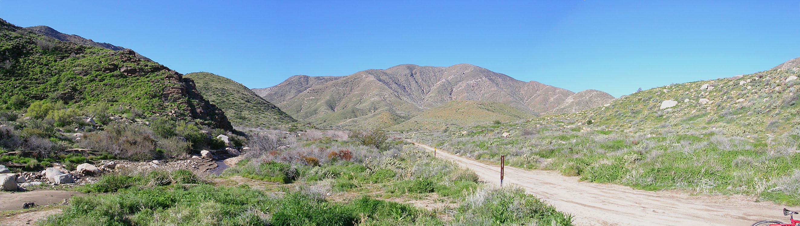
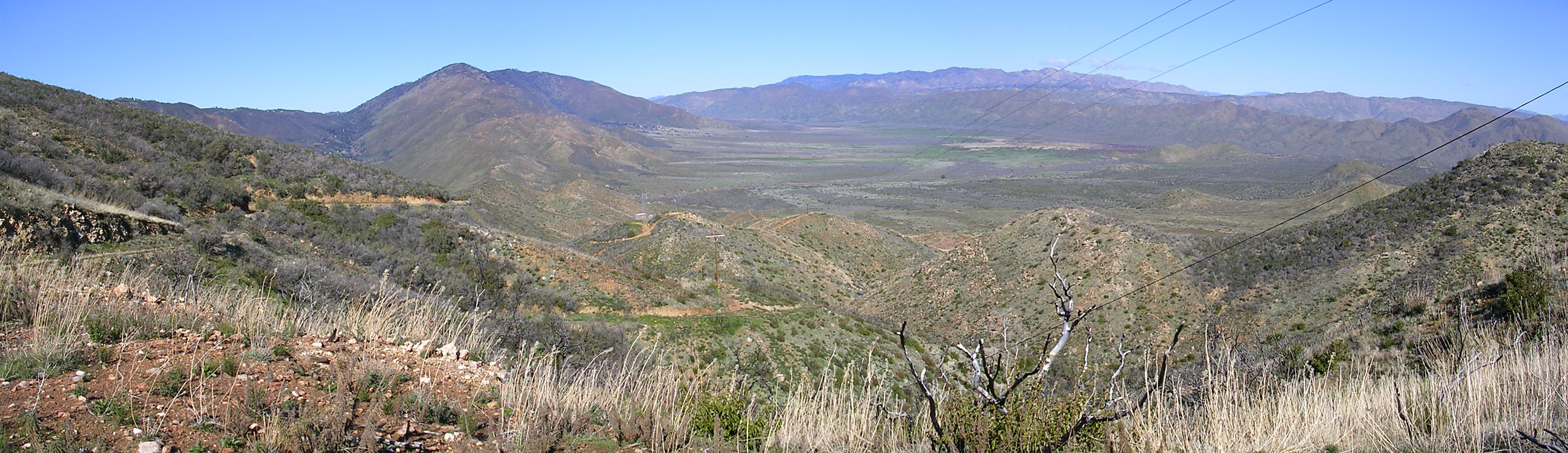
You are pretty much at the high point of the ride right now at the far upper end of Chariot Canyon
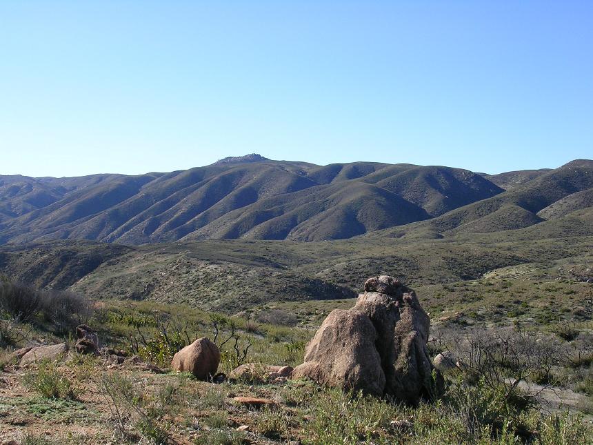
The upper end of Chariot Canyon looking west

The upper end of Chariot Canyon looking north.
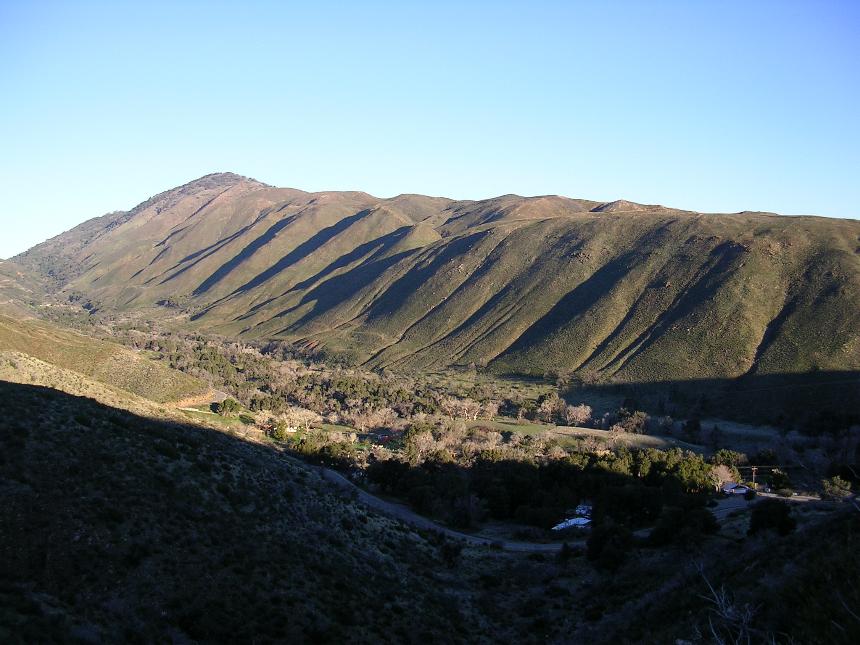
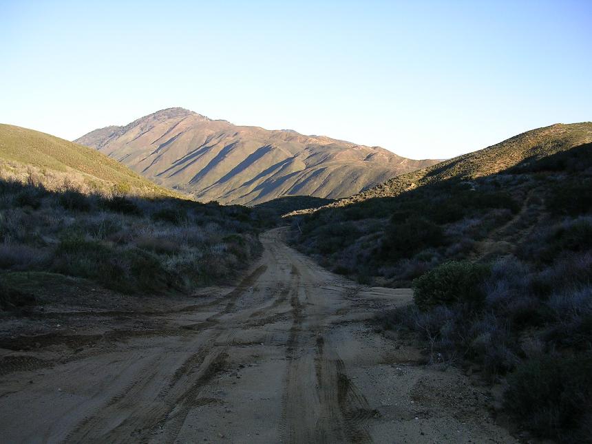
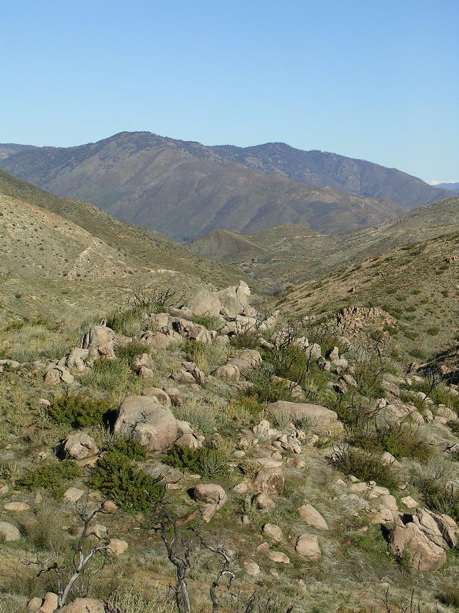
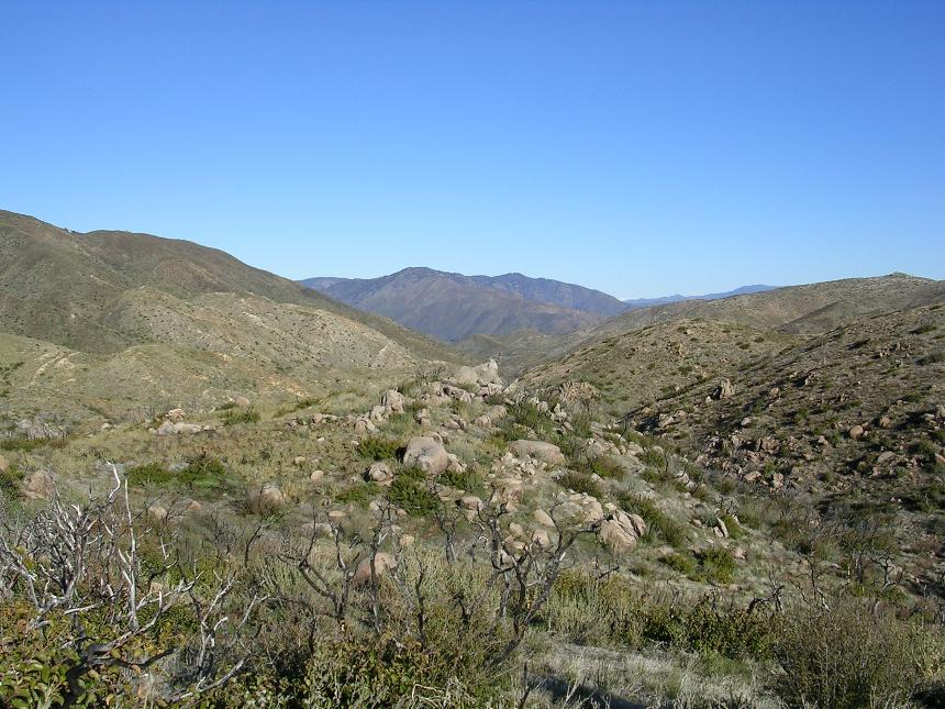
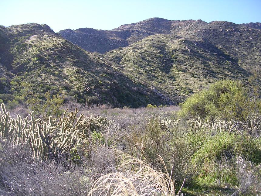
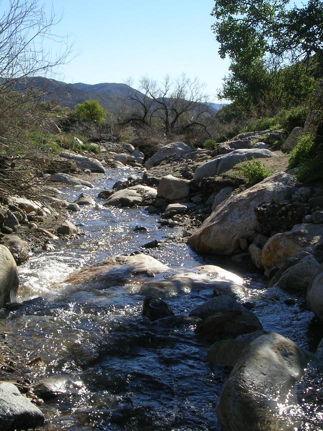
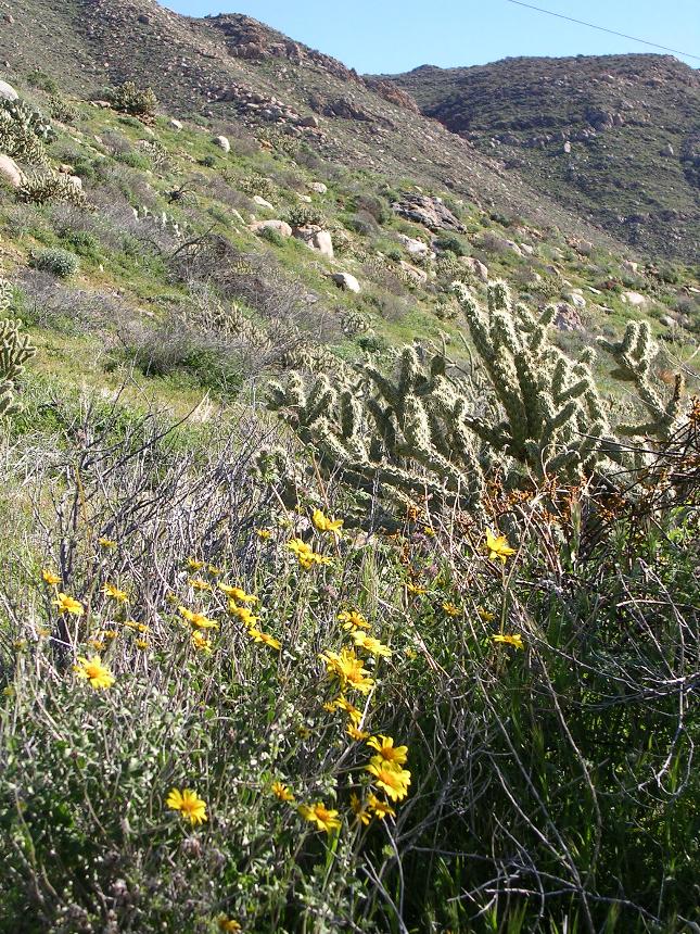
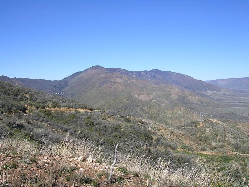
From, this point you will start descending down Oriflamme Canyon. There are some great views to take in here particularly in the upper section of canyon. The upper end of the canyon also has some interesting lines that could be taken as it quite rocky and chewed up in spots from 4WD traffic.
The top of Oriflamme Canyon looking southeast at Oriflamme Mountain.
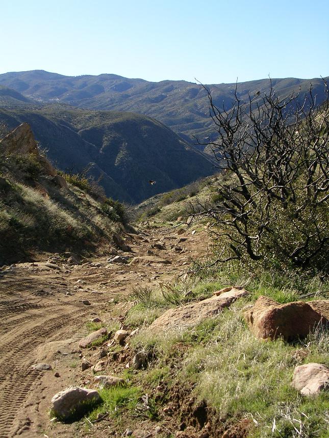
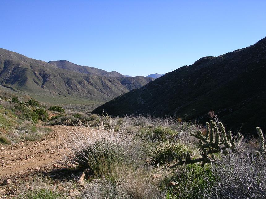
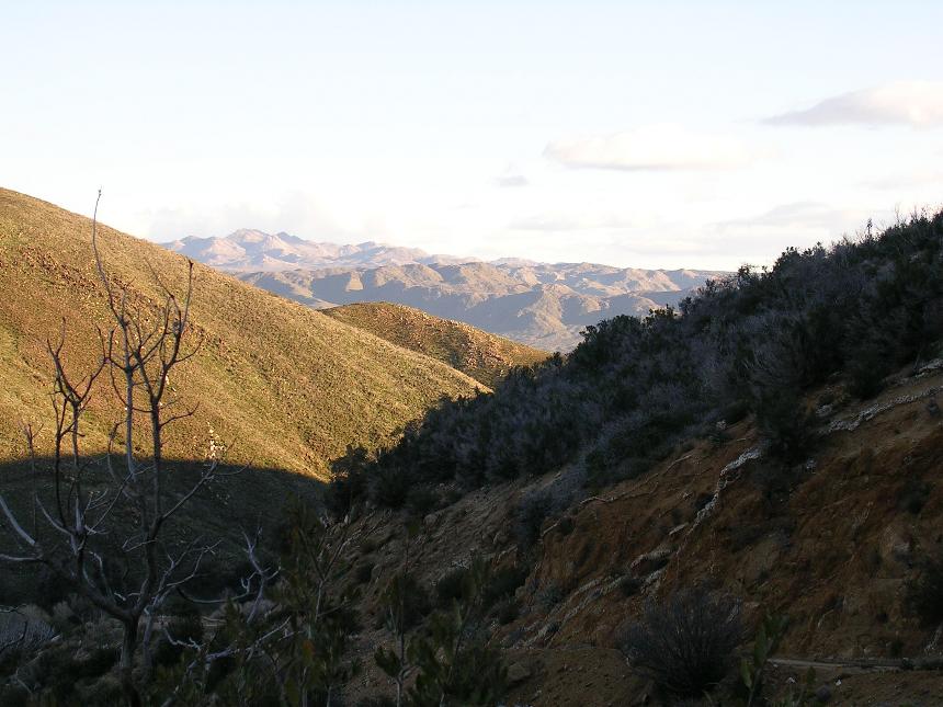
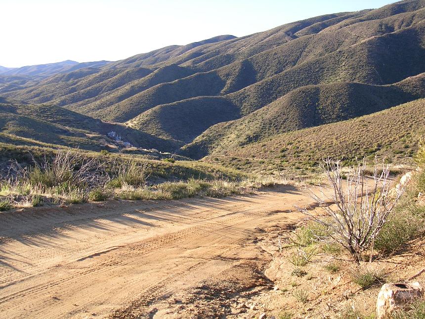
Some of the views as you descend Oriflamme Canyon
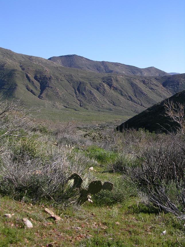
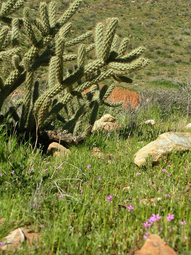
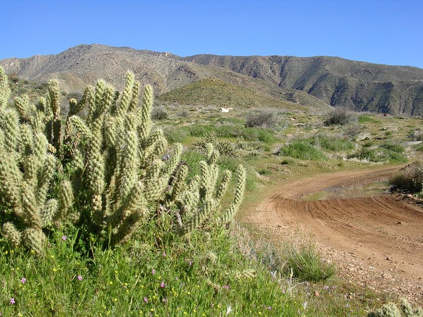
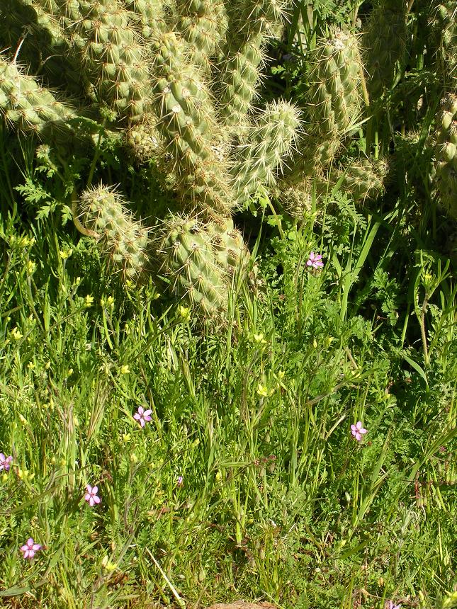
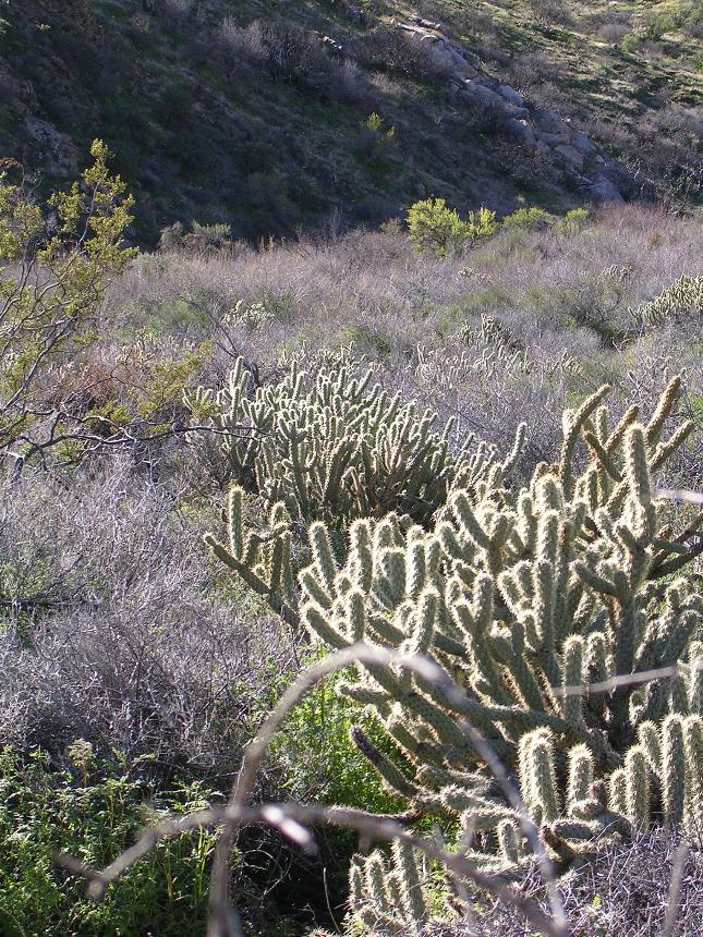
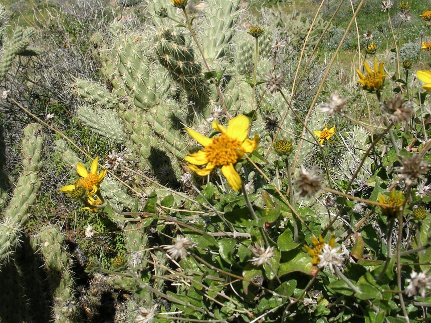
After a few wide switchback turns the fireroad straightens out somewhat and continues shedding off elevation as you roll down into the Anza Borrego Desert. It is a rather quick transition into the desert ecosystem as you soon see cacti in all directions.
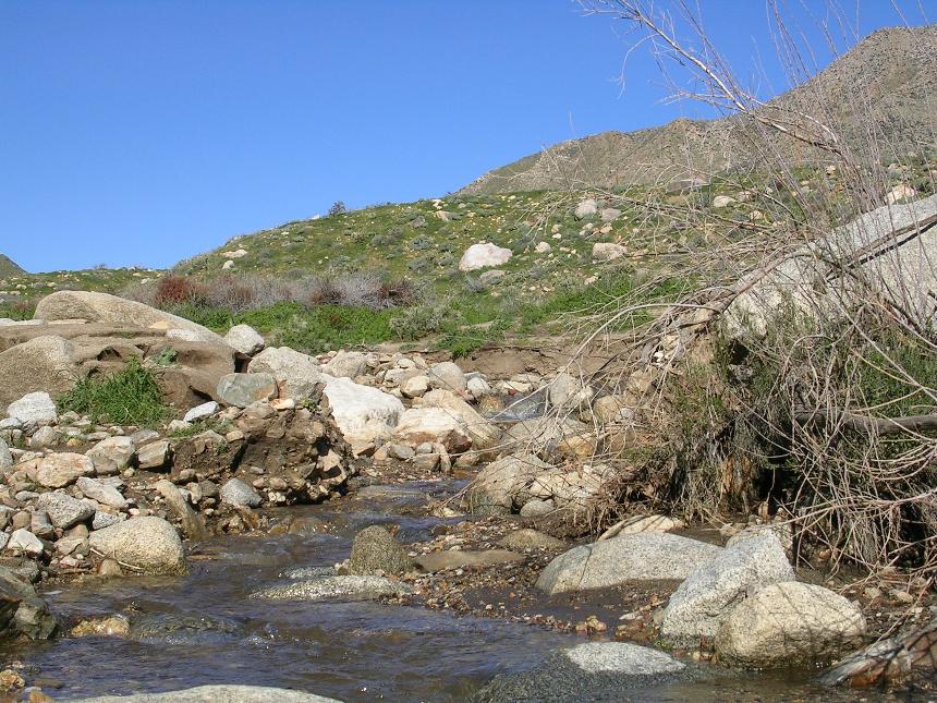
The bottom of Oriflamme Canyon
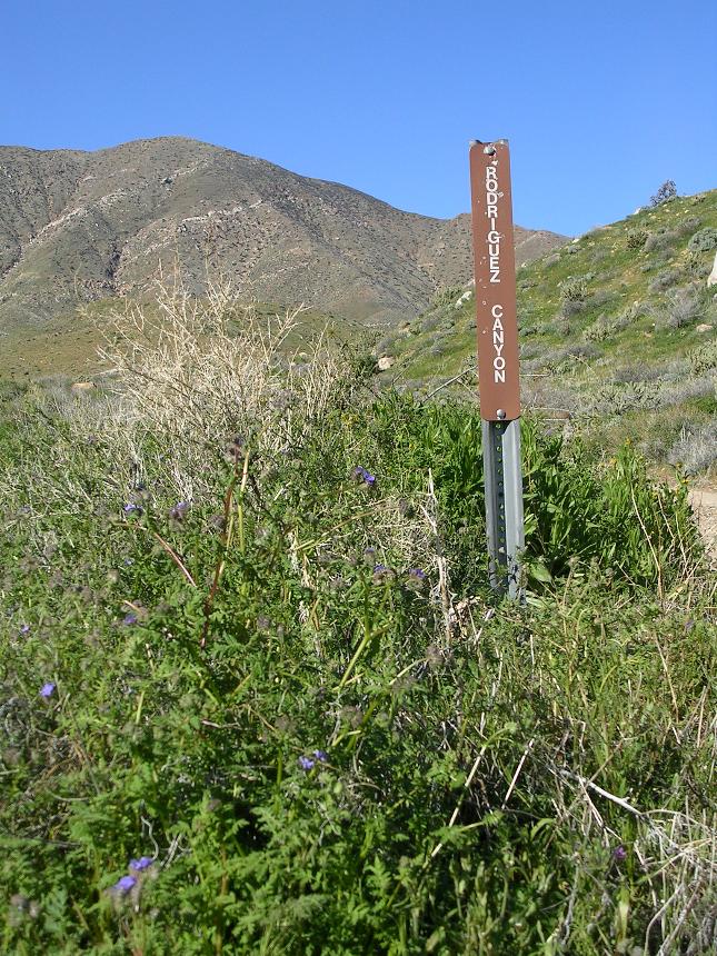
Do not be too concerned about missing Rodriguez Canyon as a series of telephone poles follow the fireroad and you will see them long before you get to the turn off. The junction of Oriflamme and Rodriguez Canyon fireroads are right where the telephone lines cross the fireroad.
Some of the desert floor goodness
 At
the telephone poles you will almost make a U-turn onto the Rodriguez Canyon
fireroad heading northwest. Your mileage should be around 9 miles at this
point. The first mile of the climb is across the north side of
the meadow you descended on Oriflamme. The meadow soon gives way to
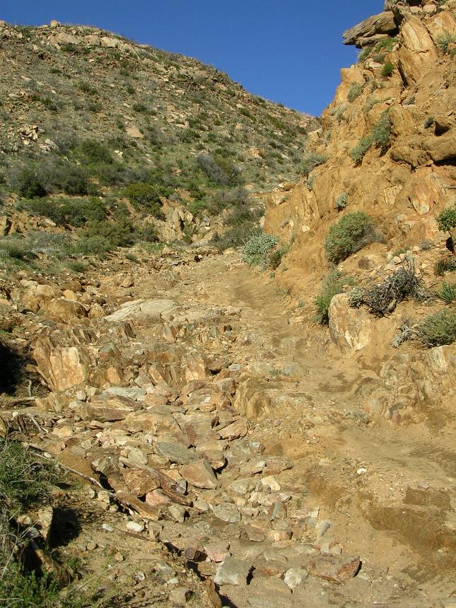
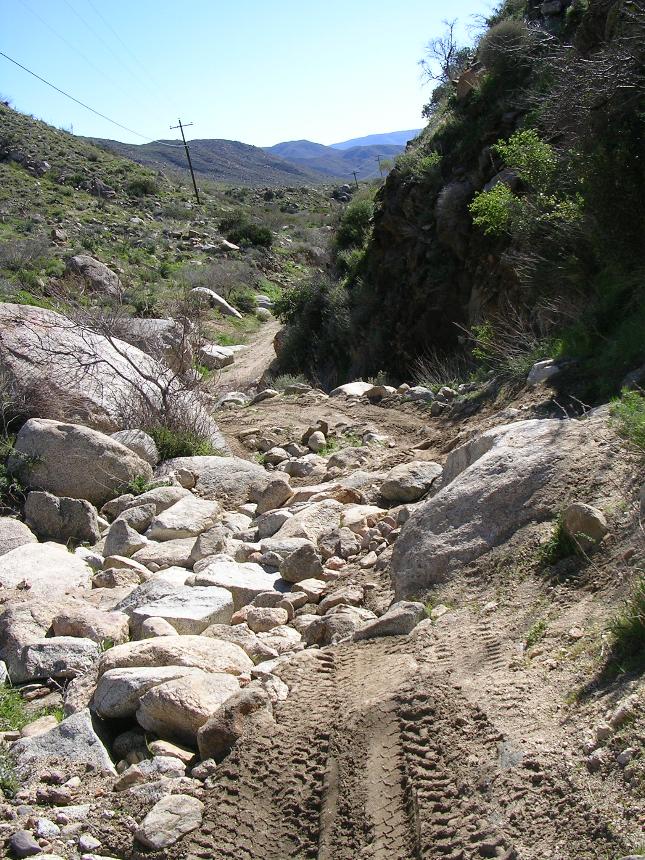
a moderately tight canyon and the fireroad goes in and out of a rocky wash with
options to do either the wash or the fireroad in many spots. Just
pick a line and go. There are a couple of steep rocky short sections in this
area but nothing of extended length. The tight canyon goes on for about 1.5 miles before opening up
into a large meadow with Granite Mountain to the north and Chariot Mountain to
the south. There is one spot where the road splits and it seems that both
forks are equally used. Have not worries as both forks come back together
in a couple hundred yards.
At
the telephone poles you will almost make a U-turn onto the Rodriguez Canyon
fireroad heading northwest. Your mileage should be around 9 miles at this
point. The first mile of the climb is across the north side of
the meadow you descended on Oriflamme. The meadow soon gives way to
a moderately tight canyon and the fireroad goes in and out of a rocky wash with
options to do either the wash or the fireroad in many spots. Just
pick a line and go. There are a couple of steep rocky short sections in this
area but nothing of extended length. The tight canyon goes on for about 1.5 miles before opening up
into a large meadow with Granite Mountain to the north and Chariot Mountain to
the south. There is one spot where the road splits and it seems that both
forks are equally used. Have not worries as both forks come back together
in a couple hundred yards.
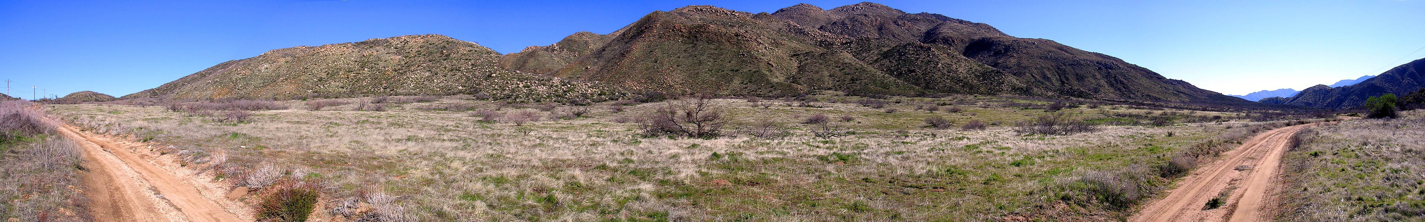
The meadow about halfway up Rodriguez Canyon.
 The
meadow is a little over 1.3 miles long and at the top of this meadow you are treated
to an expansive view of Volcan Mountain, the San Felipe Valley and hills to
the northeast. The singletrack that crosses the fireroad at this
point is the Pacific Crest Trail and unfortunately as before, it is off limits
to mountain bikes.
The
meadow is a little over 1.3 miles long and at the top of this meadow you are treated
to an expansive view of Volcan Mountain, the San Felipe Valley and hills to
the northeast. The singletrack that crosses the fireroad at this
point is the Pacific Crest Trail and unfortunately as before, it is off limits
to mountain bikes.
Looking down into the San Felipe Valley at the high point of Rodriguez
Canyon.
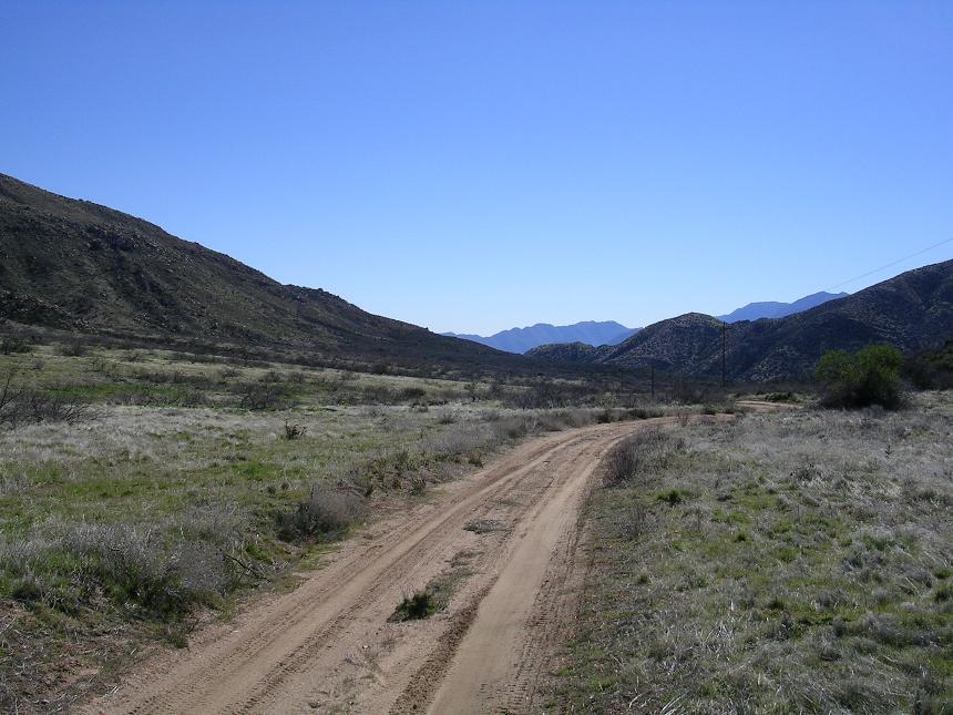
 From here the fireroad turns
downhill and you get to enjoy coast for about a 1.5 miles before it levels out
for a bit. Shortly after you start climbing again you will see the
California Riding and Hiking Trail heading right. You should also be
able to see the trail switch backing up a hillside to the north. The
climbing is over pretty quickly and then you descend again
back down to the Chariot Canyon fireroad you were climbing on a few hours
ago. Hang and right and head downhill back to Banner and your waiting vehicle.
Your mileage should be around 16 miles.
From here the fireroad turns
downhill and you get to enjoy coast for about a 1.5 miles before it levels out
for a bit. Shortly after you start climbing again you will see the
California Riding and Hiking Trail heading right. You should also be
able to see the trail switch backing up a hillside to the north. The
climbing is over pretty quickly and then you descend again
back down to the Chariot Canyon fireroad you were climbing on a few hours
ago. Hang and right and head downhill back to Banner and your waiting vehicle.
Your mileage should be around 16 miles.
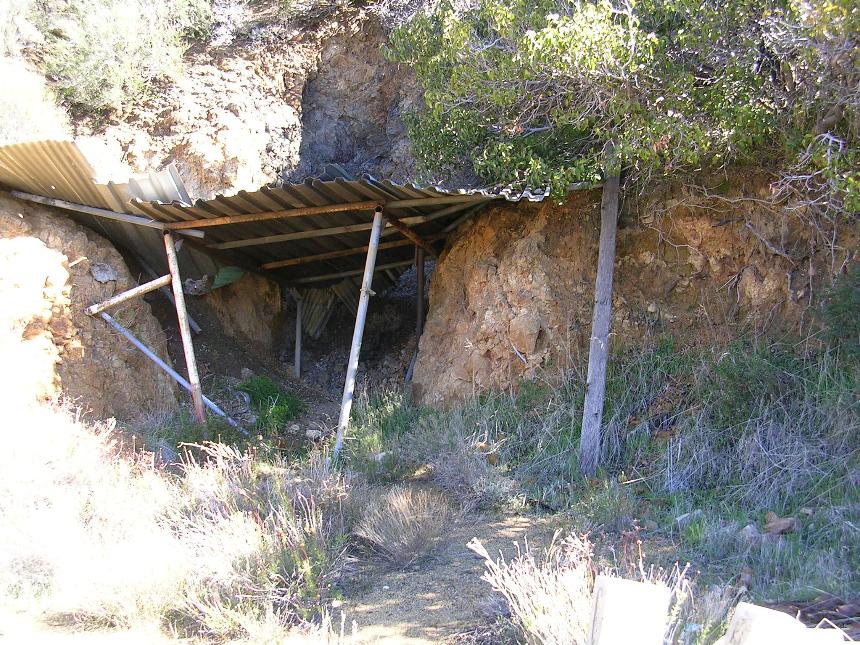
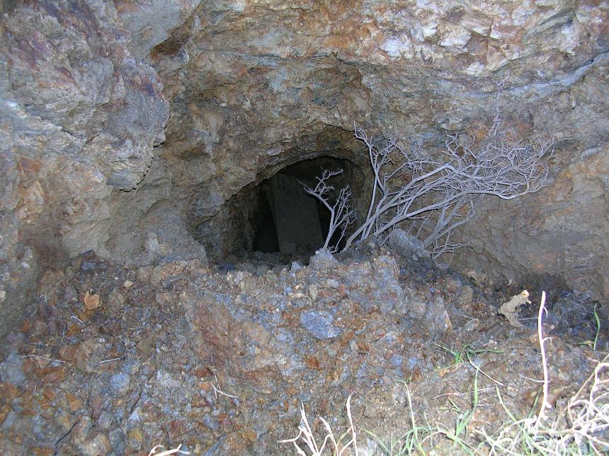
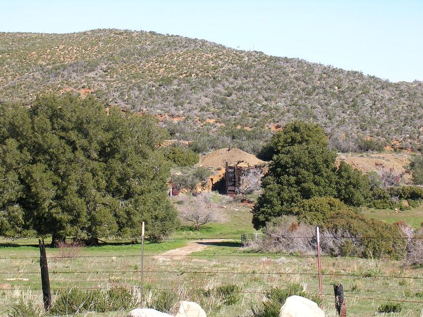
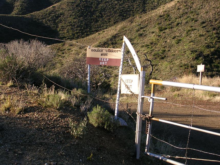
You will see lots of symbols for old mines on the map.
With a bit of poking around you might might remnants of the them. Be extremely careful
if you decide to explore around for them as they can be quite dangerous