Otay Mountain Loop
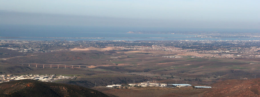
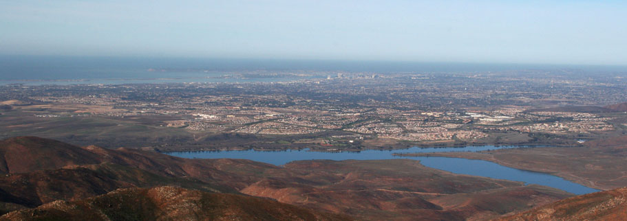
The Otay Mesa, lakes and mountain area located in the south bay area of San Diego offers some nice riding that varies from short family fun jaunts to all-day epic/death march outings. The route described here is closer to the all-day affair at around the 31 mile range with 3,900 feet of climbing (Most of that in one 8 mile chunk). You can do just segments of this route and have some great riding as well. I'll describe some those variations at the end. This route gets you some lake side cruising on buff singletrack, a long big fire road climb, a blistering descent and some snoopy style route finding on a small section of the California Riding and Hiking Trail. On a clear day you will be treated to some great views of the Pacific Ocean, the San Gabriel, San Jacintos, and San Bernardino Mountains as well a views down into Mexico.
Directions: From the I-805 going south from San Diego, take Orange Ave/Olympic Parkway exit (4) and turn left. After 0.6 miles. It will turn into Olympic Parkway. Continue on for 6.2 miles then turn right onto Wueste Road. Travel 1.8 miles until you see the marina on your left. You can park here or proceed further down the road until just before the Lower Otay Lake County Park where there are dirt pullouts on either side of the road. (My descriptions start from the dirt pullouts at Point A on my Map.
| Hazards: It can get furnace hot here in the summer. You can also reach blistering speeds on the fireroad descent, just in time for a loose turn. The good news is that help is never really too far away (time wise) when you are on the Otay Mountain Truck Trail due to the US Border Patrol presence. |
|
| Ride Notes: |
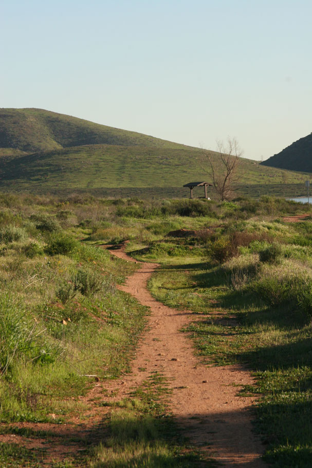
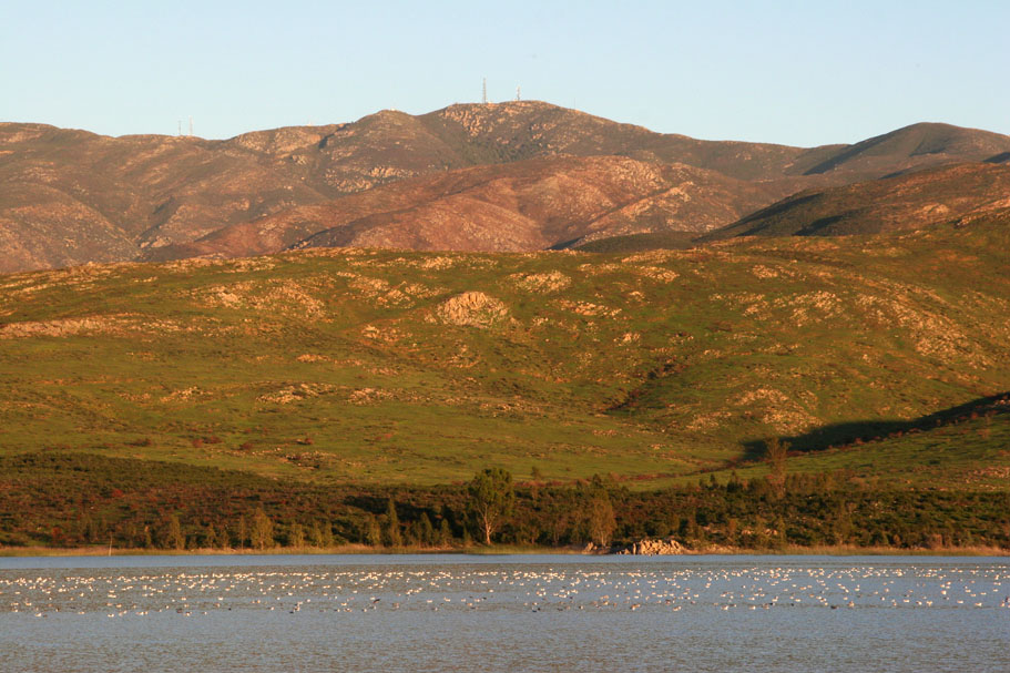
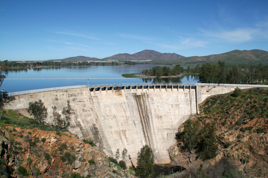  From the dirt pull outs past the Marina at Otay Lake (Point A on my map), Ride south into the Lower Otay County Park on the pavement. At 0.3 miles bear to the right to head towards the back side of the park along the base of a hill on your left. While still rolling through the parking area you will take a dirt road/path slightly off to your left. Pretty much in the same location is another trail heading further off to the left and much more uphill. Don't take the more uphill route, instead stay on the lower path. (Note: To see the dam pictured here you will need to take a side diversion at 0.3 miles. It is pretty easy to find) From the dirt pull outs past the Marina at Otay Lake (Point A on my map), Ride south into the Lower Otay County Park on the pavement. At 0.3 miles bear to the right to head towards the back side of the park along the base of a hill on your left. While still rolling through the parking area you will take a dirt road/path slightly off to your left. Pretty much in the same location is another trail heading further off to the left and much more uphill. Don't take the more uphill route, instead stay on the lower path. (Note: To see the dam pictured here you will need to take a side diversion at 0.3 miles. It is pretty easy to find) |
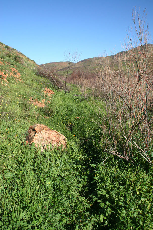
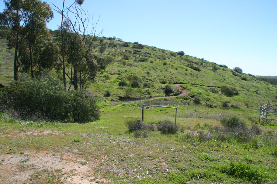  This path will do a short rise and then drop you down to a picnic area at 0.6 miles. You will pick up a singletrack on the southeast corner of this area (Point B) that proceeds south contouring down along the hillside. This trail has a few switchbacks in it as it works its way down the hill. At your third or so right-hand switchback you may notice a smaller trail heading off down towards a small canyon. This trail heads out to a utility pipe crossing and dead-ends. You want to continue along the main trail which will take you down to a gate that marks the boundary of the Lower Otay Lake Park (Point C). This path will do a short rise and then drop you down to a picnic area at 0.6 miles. You will pick up a singletrack on the southeast corner of this area (Point B) that proceeds south contouring down along the hillside. This trail has a few switchbacks in it as it works its way down the hill. At your third or so right-hand switchback you may notice a smaller trail heading off down towards a small canyon. This trail heads out to a utility pipe crossing and dead-ends. You want to continue along the main trail which will take you down to a gate that marks the boundary of the Lower Otay Lake Park (Point C). |
|
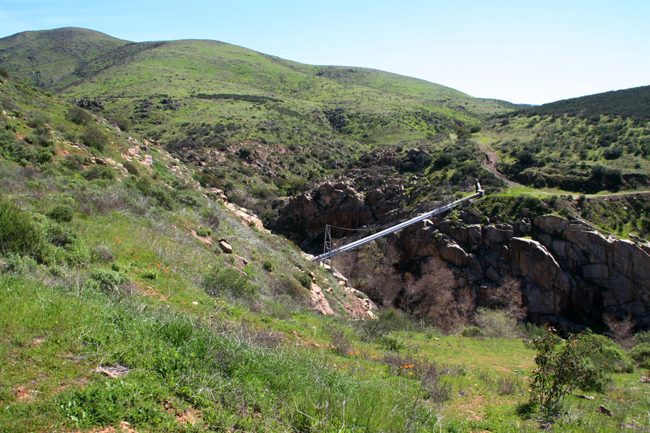
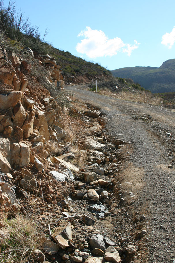
The next half mile is a grunt at around a 10 percent grade. As you come out of the valley the grade mellows. You will soon see some buildings ahead of you before coming to a split in a dirt road. The more promising route looks to be to the left. However do not go to the left. The buildings in front of you are a San Diego law enforcement shooting range followed by a detention facility. That dirt road off to the left is part of their patrol route and it passes by the target side of the shooting range. Needless to say "The Man" is not fond of civilians using that road. So take the right-hand fork which is also the more prominent dirt road. At 2.1 miles you will pop out onto the paved Alta road. Hang a left onto the pavement that goes by the detention center. You will quickly see a dirt road that heads south following some power lines. You can take it if you like but in half a mile you will have to scramble up an embankment back onto the road you are currently on. I took the dirt option, cause well, its dirt. The scramble up the embankment later on was a minor pain in the butt. |
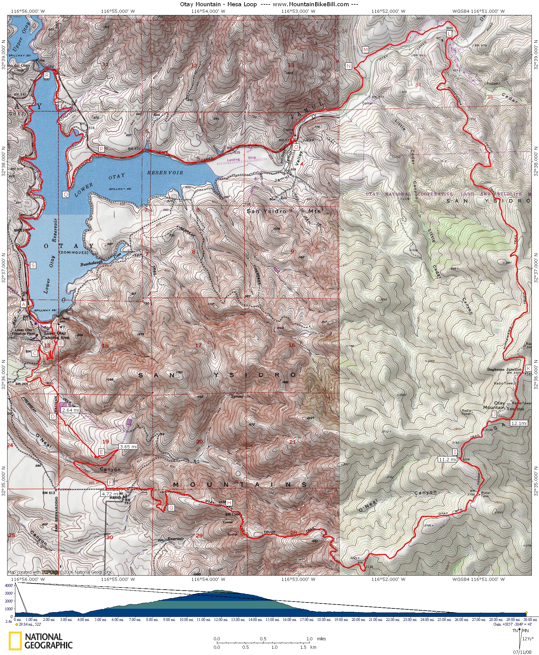
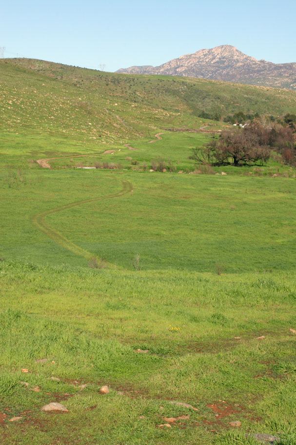
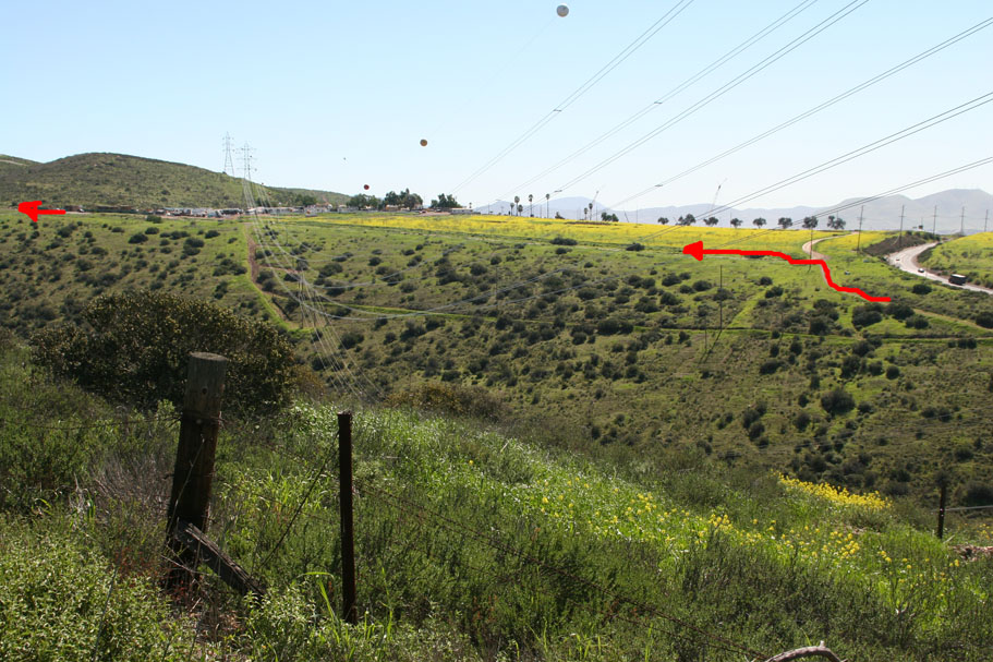  Both the pavement and the dirt road will take you roughly to Point E where the road makes a left-hand turn and overlooks O'Neal Canyon. (If you took the dirt option this is where you will scramble up the embankment back onto the road. Take a moment and look at the far side of the canyon and take note of the fireroad going up the other side. That is your route. I have highlighted it on the picture to the left. After taking the mental snapshot, follow the left-hand bend in the road and continue up the road. Both the pavement and the dirt road will take you roughly to Point E where the road makes a left-hand turn and overlooks O'Neal Canyon. (If you took the dirt option this is where you will scramble up the embankment back onto the road. Take a moment and look at the far side of the canyon and take note of the fireroad going up the other side. That is your route. I have highlighted it on the picture to the left. After taking the mental snapshot, follow the left-hand bend in the road and continue up the road. |
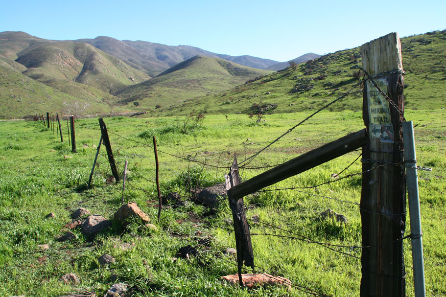
 You now have the fence of the detention facility on your left and the steep slope of the canyon on your right. At 3.65 miles you will see a large locked gate in the fence while on the right the steep hillside merges with a small knoll with a dirt road heading off slightly to the right. The dirt road that you want to take is hidden from view at this point. So take the smallish dirt road off the right and immediately stop and look behind you. You should see a fireroad that heads west down into the canyon. Get on the fireroad and descend it into O'Neal canyon. The picture to the left was taken later in the ride and is highlighted to show the route I'm describing through this section. You now have the fence of the detention facility on your left and the steep slope of the canyon on your right. At 3.65 miles you will see a large locked gate in the fence while on the right the steep hillside merges with a small knoll with a dirt road heading off slightly to the right. The dirt road that you want to take is hidden from view at this point. So take the smallish dirt road off the right and immediately stop and look behind you. You should see a fireroad that heads west down into the canyon. Get on the fireroad and descend it into O'Neal canyon. The picture to the left was taken later in the ride and is highlighted to show the route I'm describing through this section. |
|
|
|
|
|
|
|
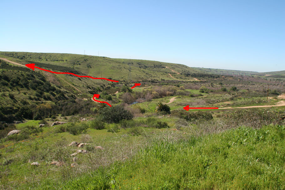
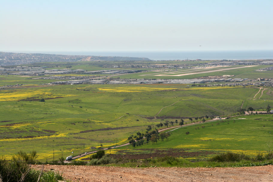
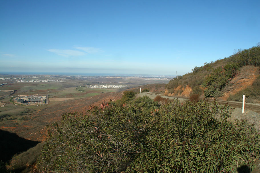
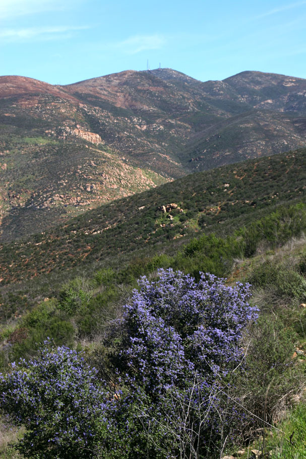
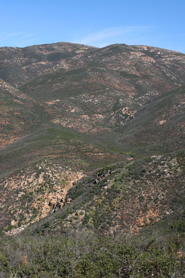
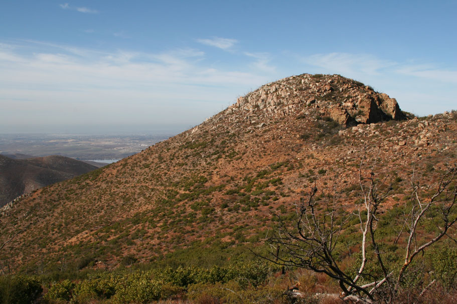
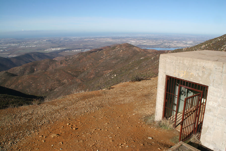
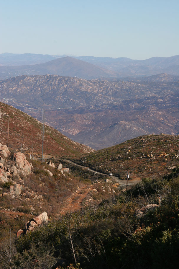
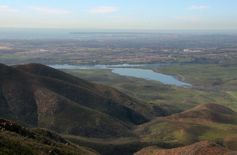
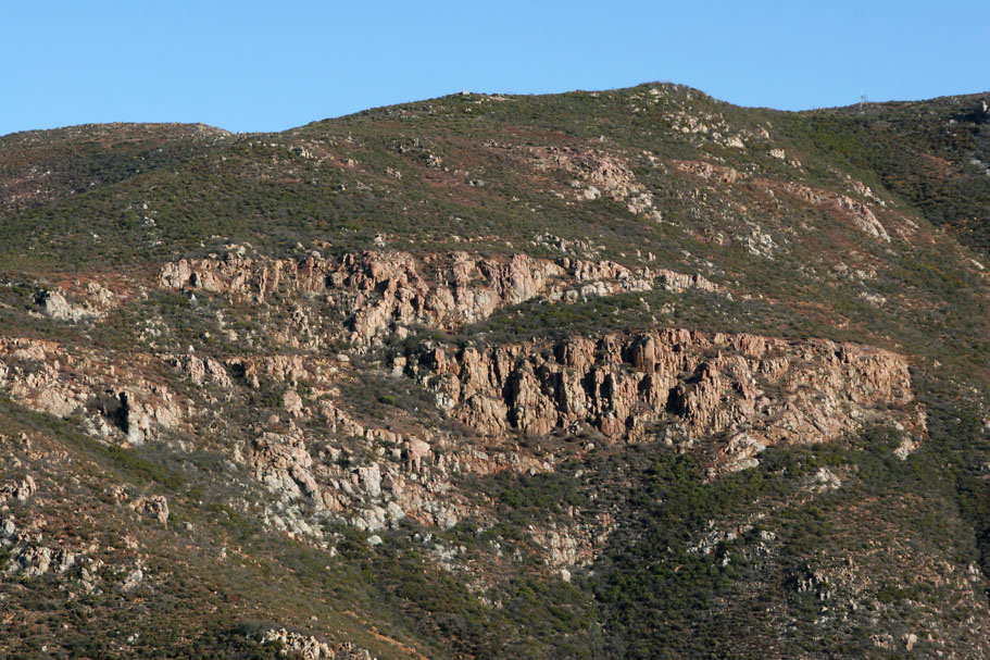 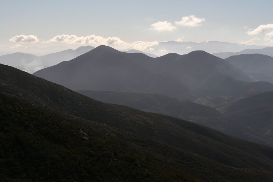     Views from the western approach up Otay Mountain |
|
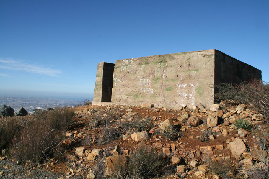 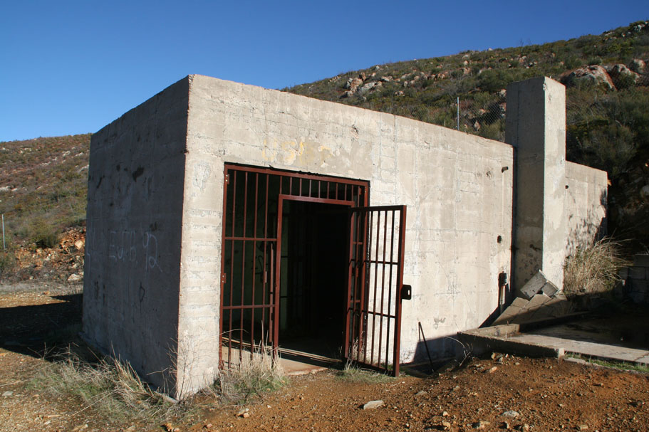     |
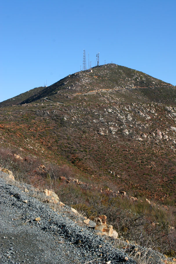
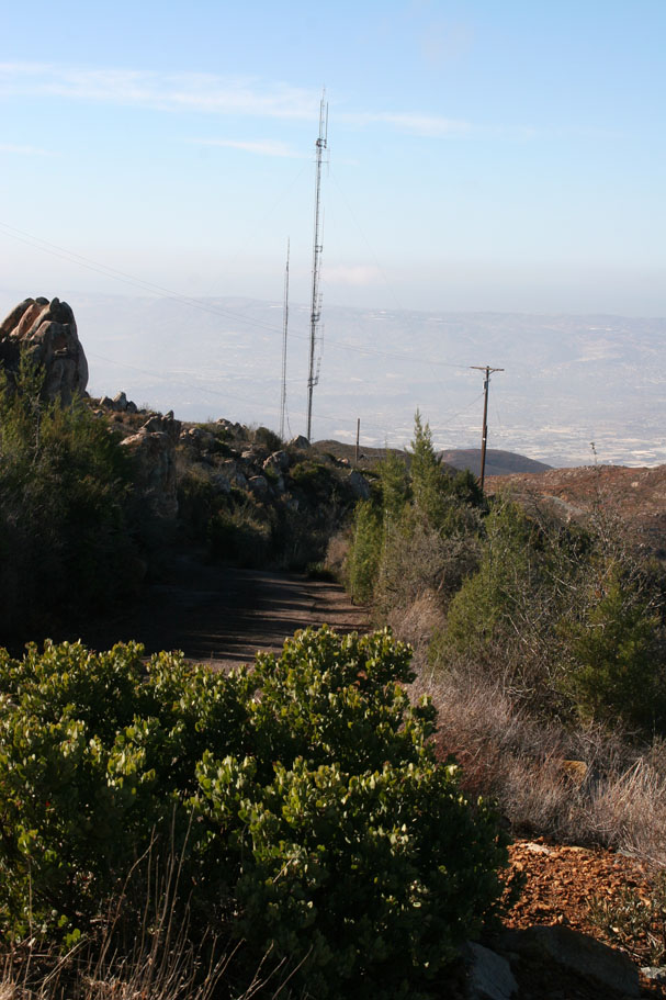
| After you have enjoyed this area continue on up the road and just under a mile further up the road (Point J) is a spur off the left that will take you to a radio tower facility and the actual Otay Mountain Peak. Although it is a grunt considering what you have already done at this point it is well worth it. |
     |
| After your little side trip up to the peak you will get back onto the truck trail and climb for just a bit before the truck trail makes a short and mellow descent down to Doghouse Junction at 12.4 miles (Point K). There is really nothing special here other than the junction of Otay Mountain Truck Trail and the Minnewawa Truck Trail. |
|
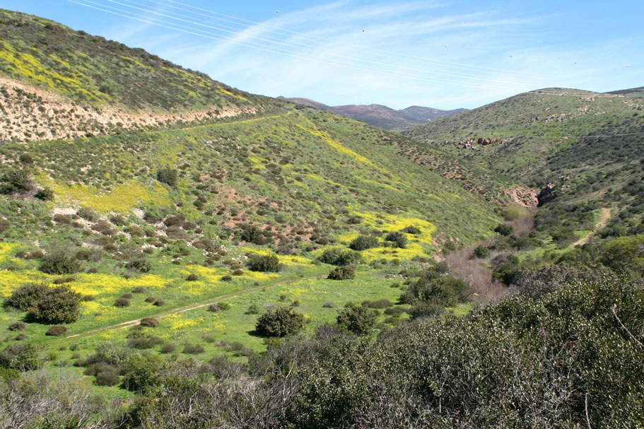
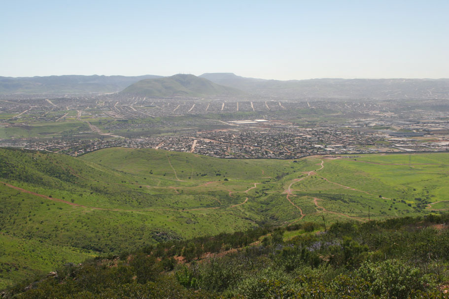
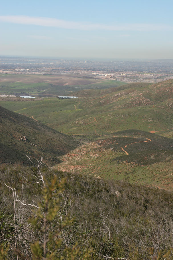
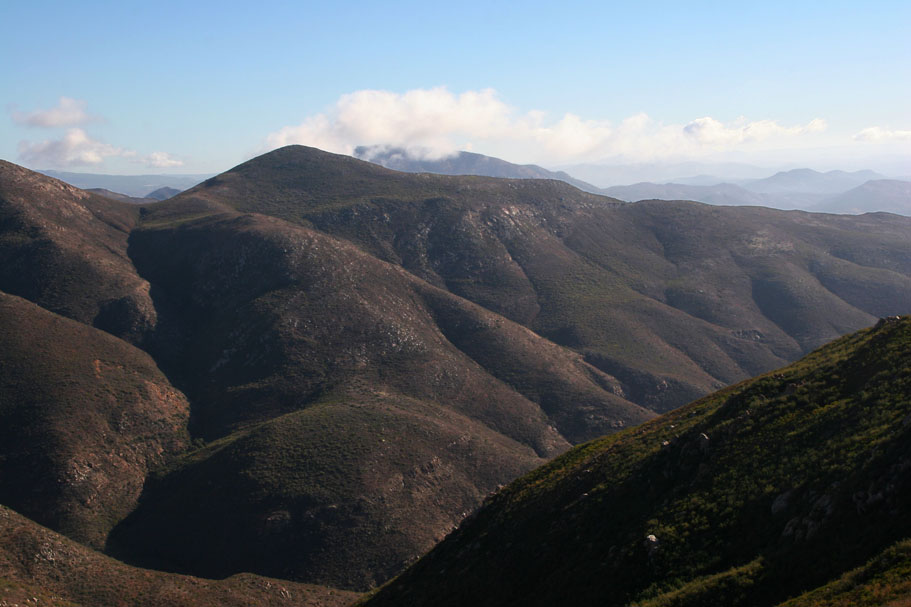
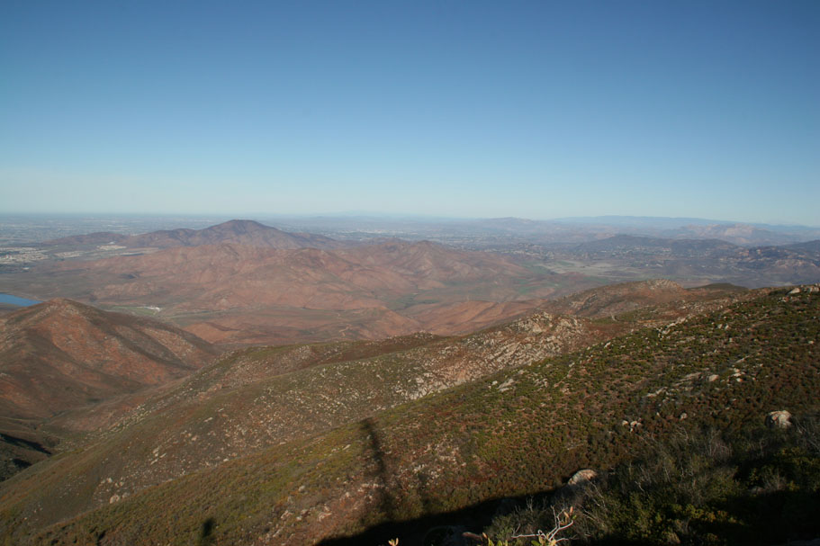
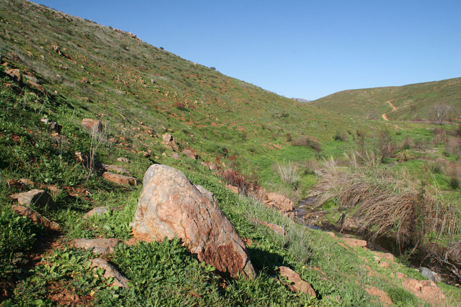
 View from the Minnewawa Truck Trail |
      |
|
| NOTE ON CURRENT CONDITONS |
| While I have not been out here first hand to verify things, as of late 2012, the segment of the California Riding and Hiking Trail (CRHT) described below between Points M and O has gotten severely overgrown and extremely difficult to follow. You may want to consider rolling the road from Point L to O vice trying to follow the trail. |
|
|
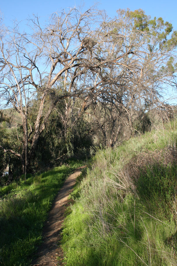
  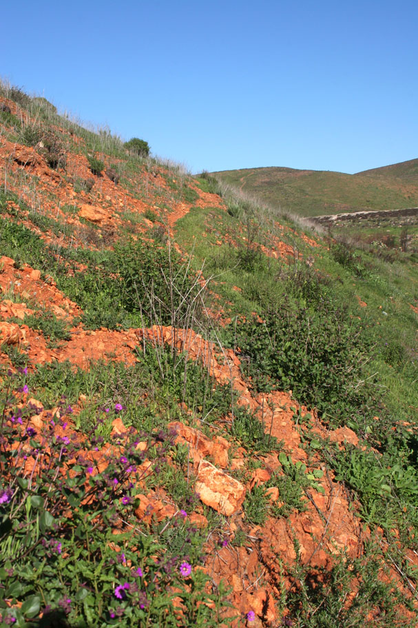    Some shots along the California Riding and Hiking Trail |
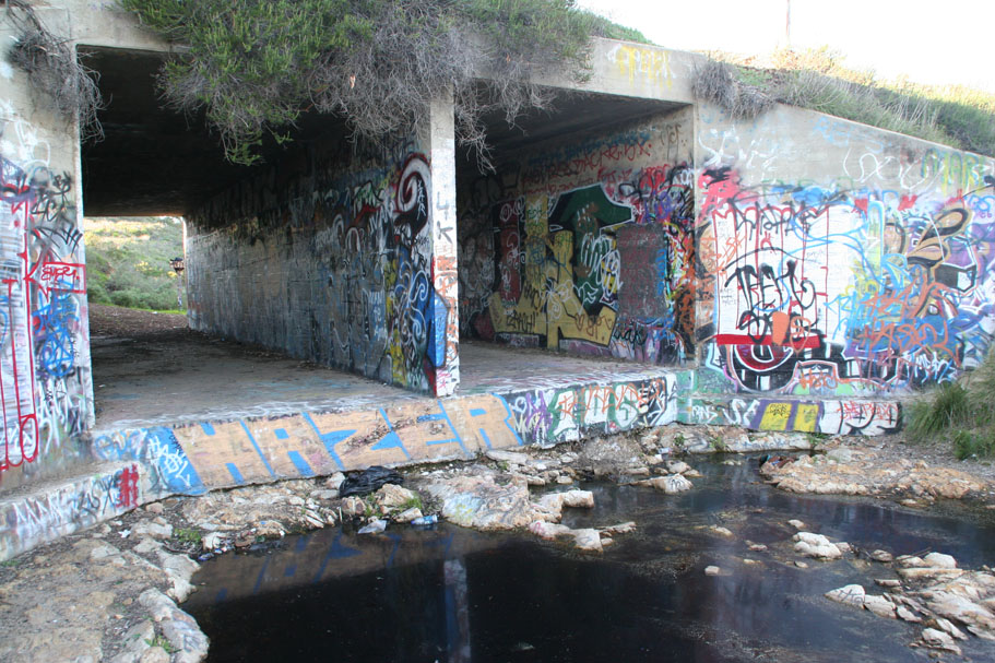
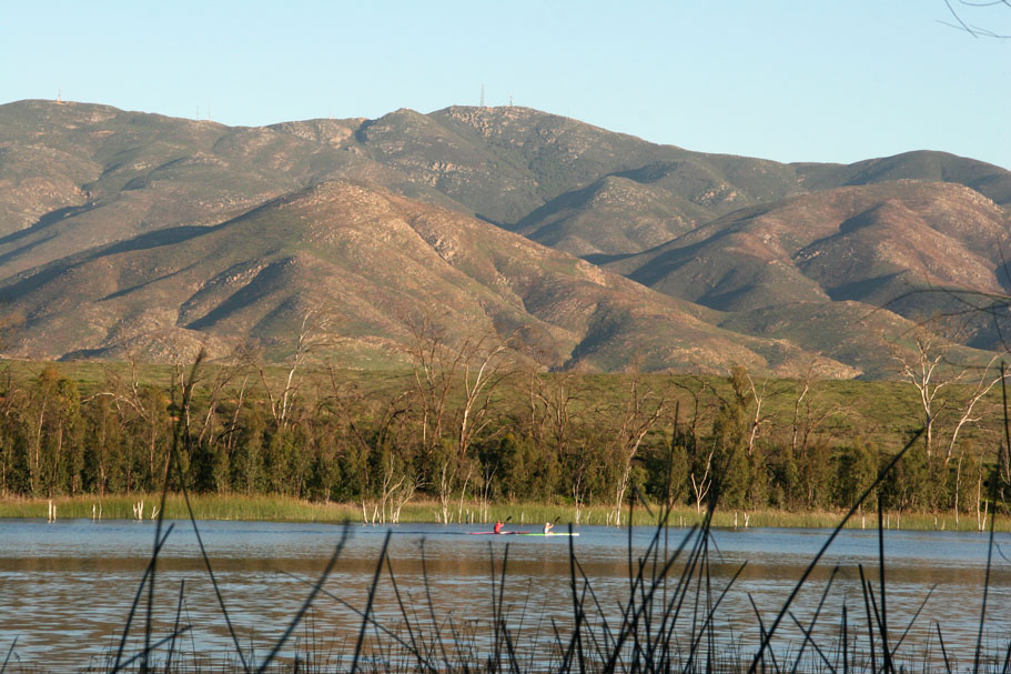
| After a somewhat slow but fun go with the route finding, the CRHT came out on Otay Lakes Road right where the creek goes underneath the road. I snooped around a bit looking for a dirt route, but I ended up on the (hanging a right as you come off the CHRT) pavement heading west for about 1.5 miles until I hit the eastern entrance to the Otay Lake Park at 24 miles (Point P). Along this section of the lake you will we see a few trails going down by the lake. They are mostly fishing trails that die out and force you to back track to the payment. Please be careful along this section of road as there is no bike lane. |
|
|
|
|
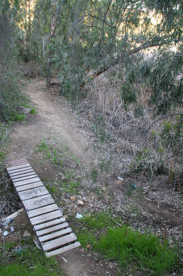 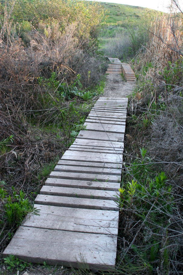 The trail from here is plenty of fun with lots of singletrack that includes a few wood bridges or structures. These are well built and serve to get the users over areas that can get mushy with some moisture. There a few spots that could have used another one of the structures. Fun and functional, you gotta love it. There are also a couple of spots where the singletrack pops out onto a fireroad. Just follow the fireroad around the lake and if you see a singletrack off to your left, give it a shot. The trail from here is plenty of fun with lots of singletrack that includes a few wood bridges or structures. These are well built and serve to get the users over areas that can get mushy with some moisture. There a few spots that could have used another one of the structures. Fun and functional, you gotta love it. There are also a couple of spots where the singletrack pops out onto a fireroad. Just follow the fireroad around the lake and if you see a singletrack off to your left, give it a shot. |
  At around 30.3 miles (Point S) you will roll into the Marina area. Go through the parking area and pick up a singletrack on the far side by a utility shed. This singletrack will follow along the lake for half a mile before turning away from the lake just short of a fence and go up a steep trail to Wueste Road and the the dirt pull out you started your day from. All together you should have done just under 31 miles. Now go get yourself something tasty to drink and eat as you have certainly earned it. At around 30.3 miles (Point S) you will roll into the Marina area. Go through the parking area and pick up a singletrack on the far side by a utility shed. This singletrack will follow along the lake for half a mile before turning away from the lake just short of a fence and go up a steep trail to Wueste Road and the the dirt pull out you started your day from. All together you should have done just under 31 miles. Now go get yourself something tasty to drink and eat as you have certainly earned it. |
Ride VariationsThese rides are good enough on their own that I plan on creating seperate pages for them at some point. For now you can use the description above with the following variations to create several different rides in the area. There are more options than the ones listed here that you are sure to discover as you get to know the area.
|