Santa Ysabel Open Space Preserve
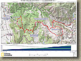
The 5,312 acre Santa Ysabel Open Space Preserve, located in the extremely scenic mountains between Santa Yasbel and Julian about 40 miles northeast of San Diego, is one of the prettiest preserves in the county I have seen to date. While fire roads exclusively make up the designated trail system here, you will most likely not mind at all as the beauty of the place makes up for the lack of singletrack options. The rolling open grasslands and oak groves remind me a great deal of Northern California. You can get in just under 20 miles of riding if you do all of the loops and out and back sections.
Directions:
|
||
|
||
| Hazards: There is no water available on this ride. This place can get quite hot in the summer. | ||
| Ride Notes: | The Preserve is currently only open on Saturday and Sunday from 8AM to Sunset | |
 |
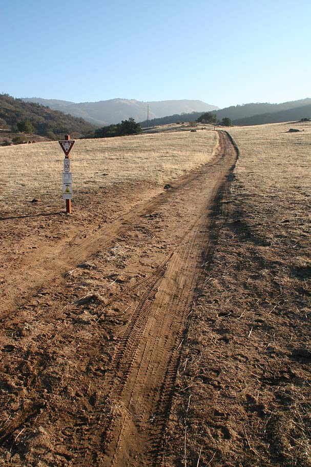
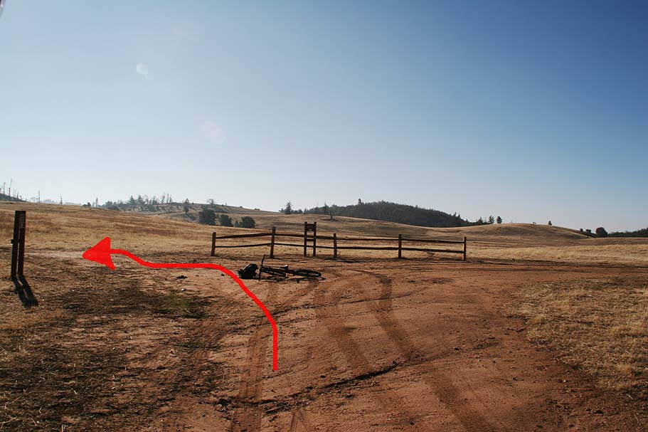
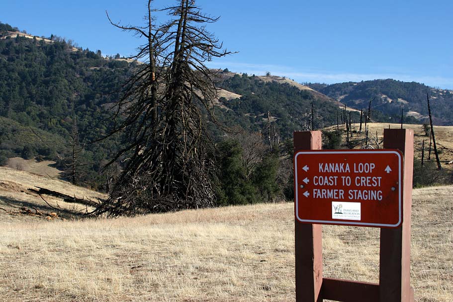
For some reason the staging area off of highway 79 is closed and it looks to be a permanent arrangement. While I have not spoken with the land managers, my guess would be they have concerns with the parking and getting on and off of highway 79. I started at the Farmers Road staging area up in the mountains at the Julian end. NOTE: THIS STAGING AREA IS NOW OPEN. It is a real beater to get up the mountain from here |
 |
 |
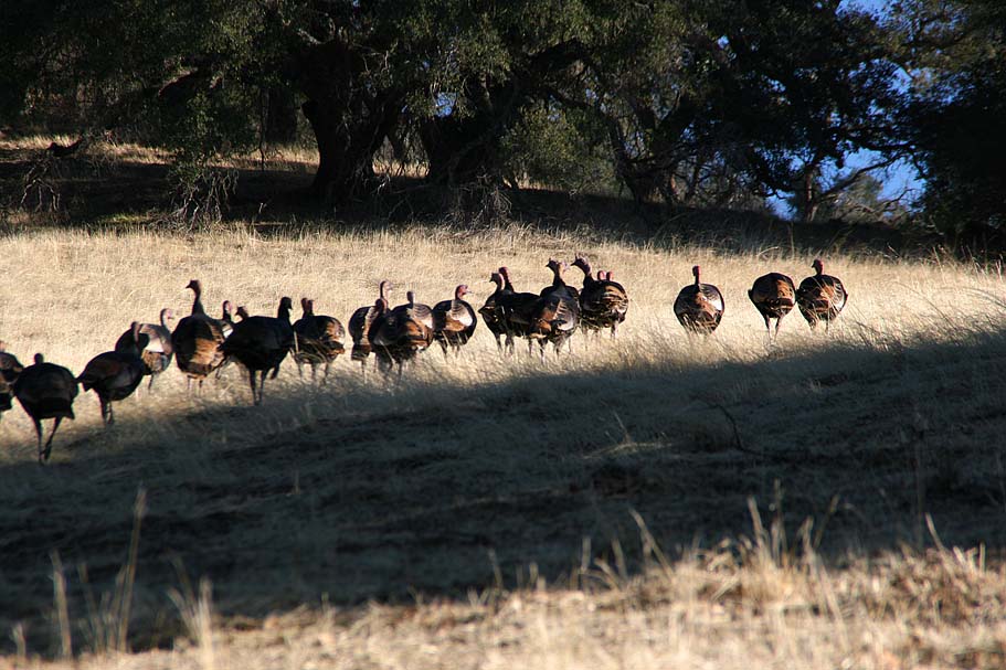
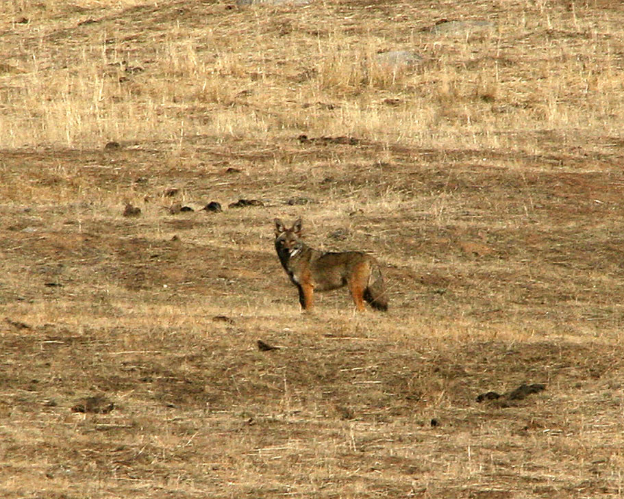
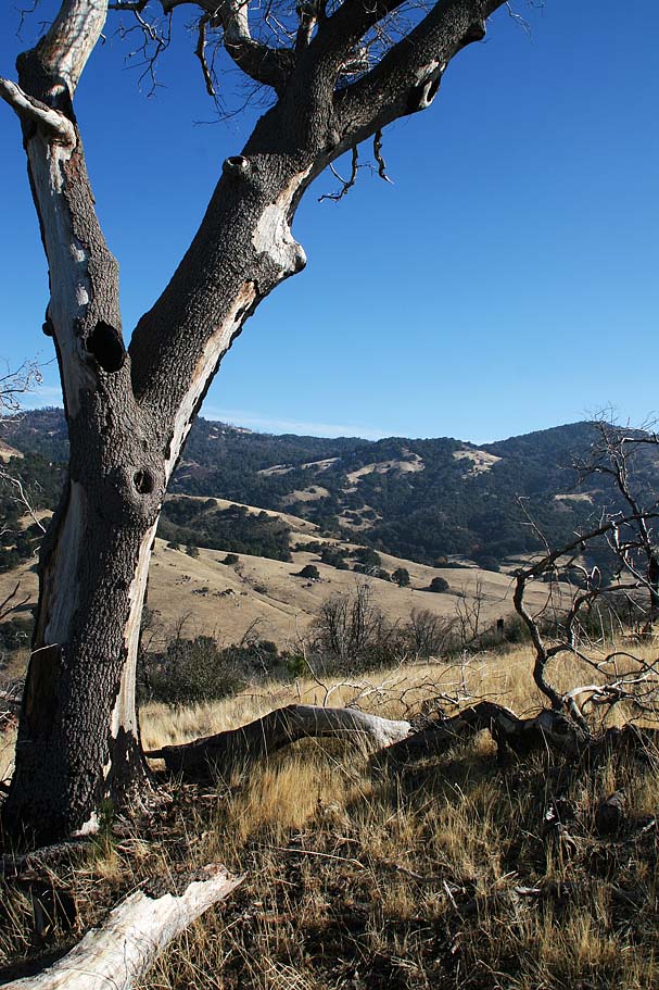
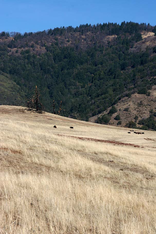
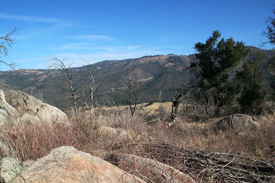
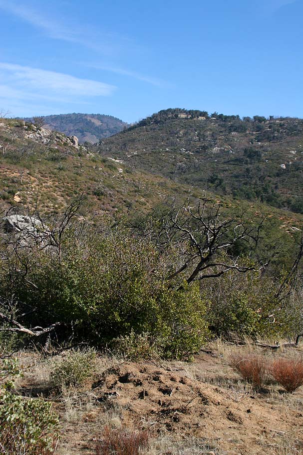
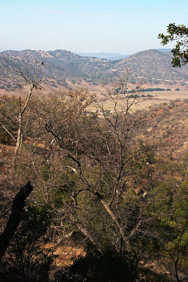
From the parking area you will proceed along a fireroad that quickly crosses a creek and goes out into a grassy valley interspersed with coastal live oak and Engelmann oak trees. This section of the Kanaka Loop trail is also used as a portion of the planned Coast-to-Crest trail. This is an extremely picturesque section along the fireroad and in addition to the grazing cattle, I saw two coyotes, and at least twenty turkeys. The trail gradually descends along the Santa Ysabel Creek drainage. |  |
    |
||
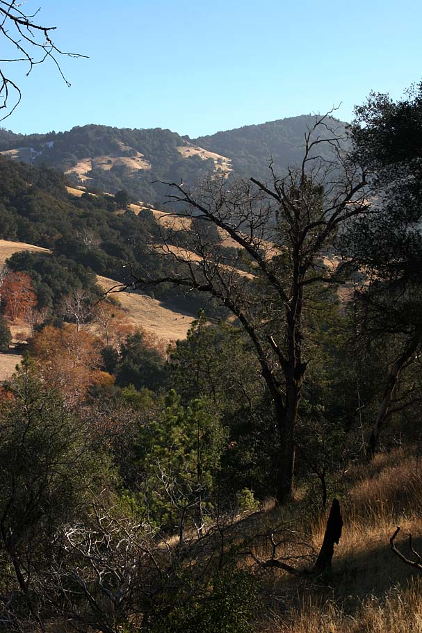 |
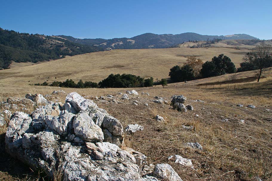
At 1.5 miles you will bear to the left on another fireroad. If you miss the turn off don't worry you will soon be greeted with a closed gate that will force you back to the turn off. Once on the fireroad you will cross Santa Ysabel creek and start climbing. The climb is only 7/10ths of a mile long but it gains over 300 feet of elevation. The payoff for the rate of ascent is the views get super pretty in a hurry. As you near the top of the climb you will see evidence of the 2003 Cedar Fire that swept through about 1/3rd of the eastern portion of the preserve. The area is recovering quite well. | 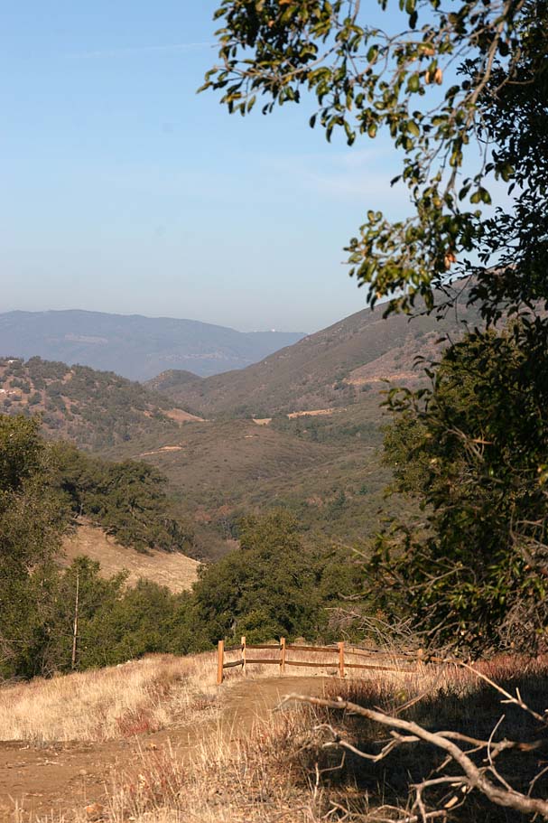 |
  The climb brings you up onto Kanata Flat. The day I did this ride in December I was greeted to a rather brisk and biting wind. At the T-junction (Point C on my map), I opted to go left even though I could see a steep climb in my future to the east. The pitch up to Point D was a bit mean at 15%. I had no problems stopping to take a picture from the top. The climb brings you up onto Kanata Flat. The day I did this ride in December I was greeted to a rather brisk and biting wind. At the T-junction (Point C on my map), I opted to go left even though I could see a steep climb in my future to the east. The pitch up to Point D was a bit mean at 15%. I had no problems stopping to take a picture from the top. |
||
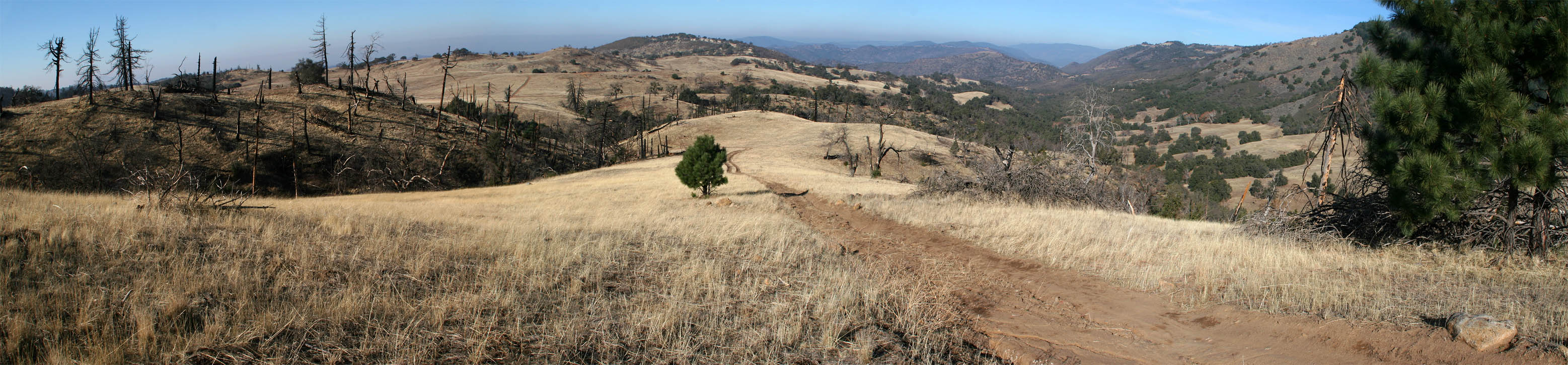 Looking west across Kanata Flat and the Santa Ysabel Creek drainage from Point D. |
||
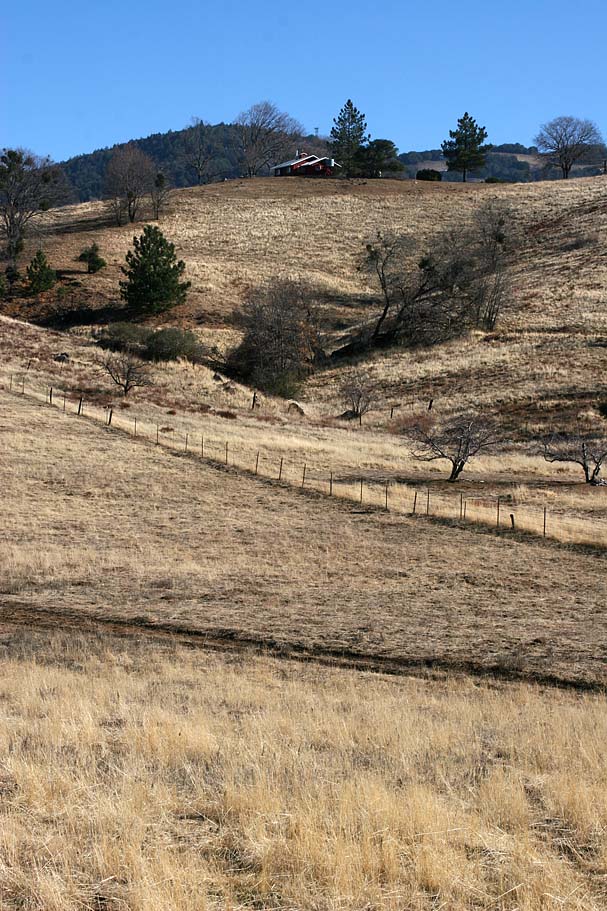    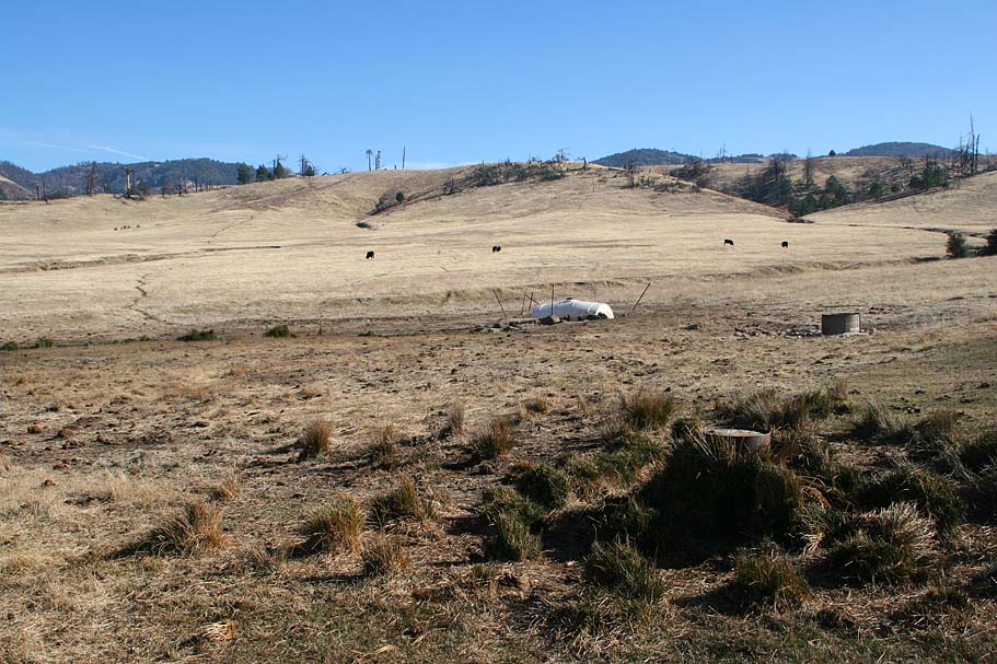  The views along the loop are nice. Near Point E you are on the eastern boundary of the preserve and you can see a few homesteads. The only unsightly thing on this entire loop is a water reservoir - tank that seems to be used for the cattle during the summer. I also came across another coyote in this area. |
||
 |
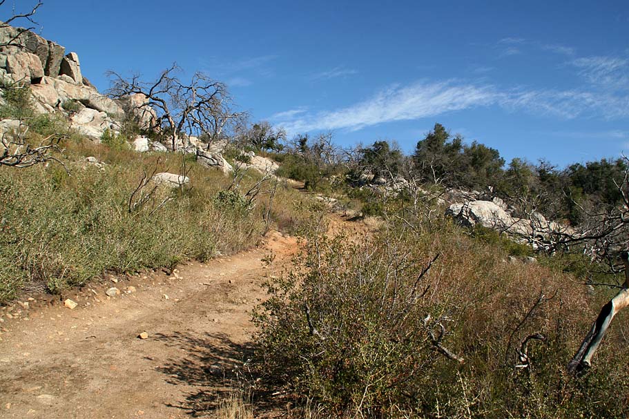
The Kananta Loop has you climbing near Point E, but after that it is a nice gradual descent down to Point F. From here the Kanata Loop turns back to the east towards the junction where you first climbed up. You will want to continue straight in a northwest direction on the Coast to Crest Trail. By this point you will have undoubtedly noticed the incredibly awesome looking cow trails here and there on the Kanata Flat. Even though cows have a great knack making nice contouring singletracks, these are not part of the trail system and you should stay off them. (Tasty and they make singletracks, you gotta love'em) |  |
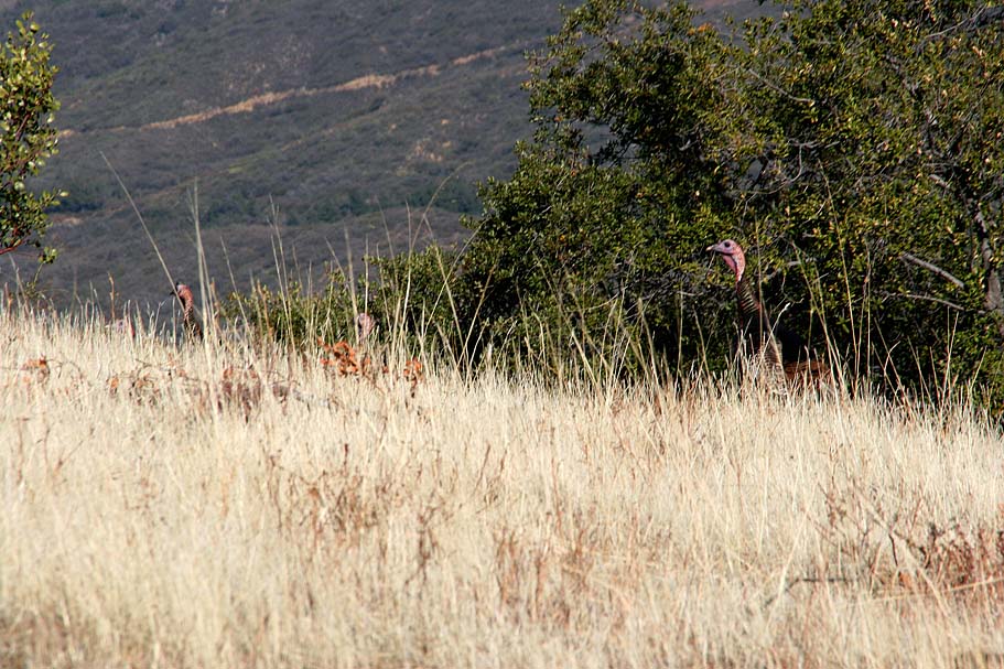
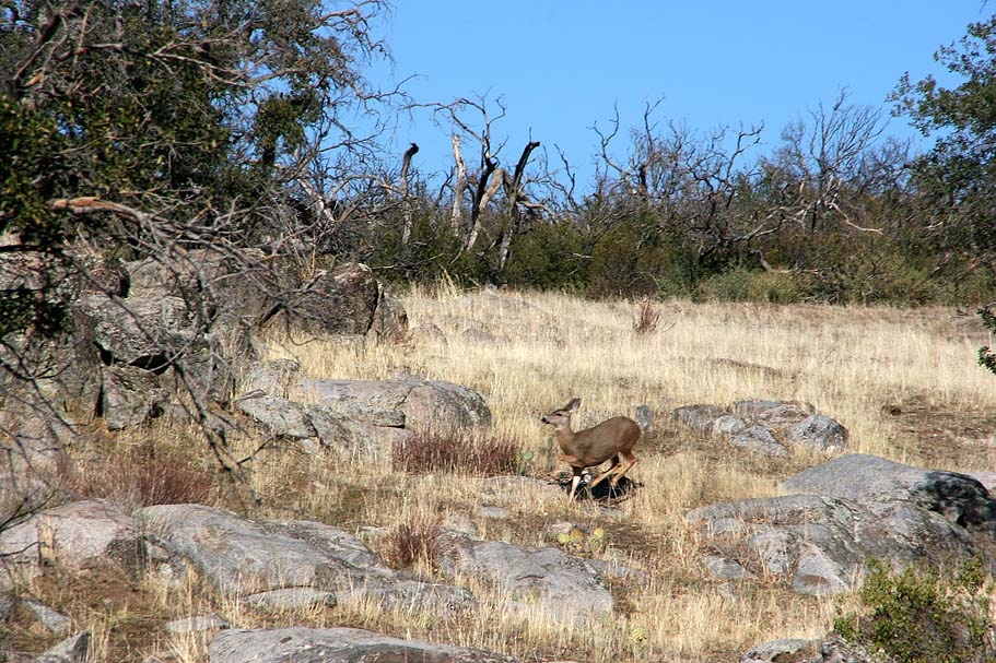
| From Point F you will have a couple of quick rolling descents but for the most part you will be gradually climbing. I came across another group of turkeys just before reaching Point G as well as two Mule deer. | ||
    |
||
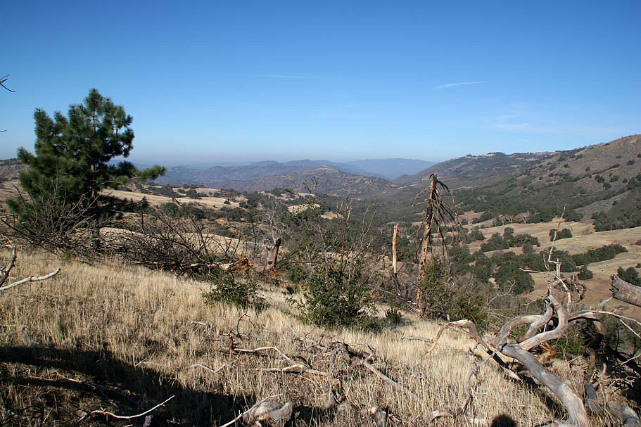
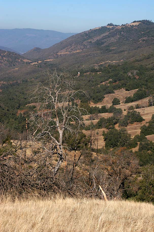
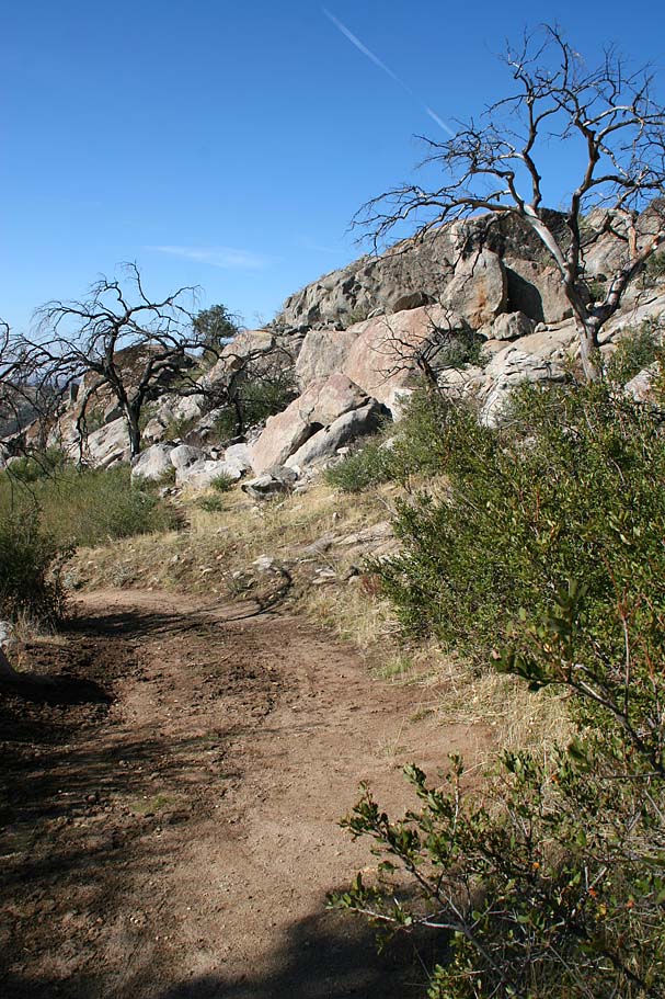
| Beyond Point G the trail turns in a mostly southern direction and starts shedding off elevation in a hurry. You will dump about 600 feet over the next 1.5 miles. The terrain also makes a quick transition from the open grasslands and interspersed oaks to mostly chaparral and some canyon live oaks. The effects of the 2003 Cedar fire are more perceptible here. While descending between Points H and I, I came across three more does and a buck. I was officially jazzed at this point with all of the wildlife I was seeing on this ride. I normally carry my digital SLR in my camelbak, but with all of the critters I was seeing, I shorted up the straps and rode with it strapped on my neck for the better part of the rest of the ride. | ||
     |
||
 |
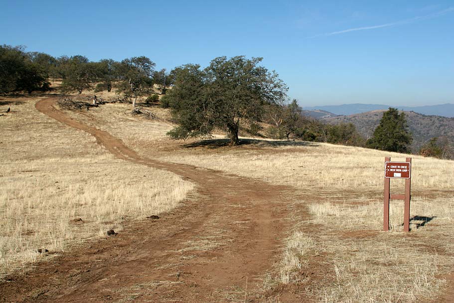
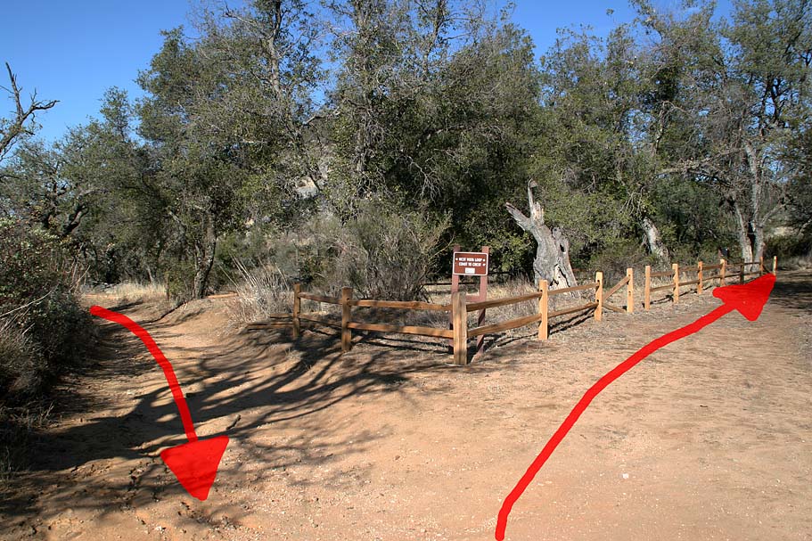 At Point I the elevation shedding is over and the trail takes a sharp right hand turn that is is well signed. You will do just a wee bit of grunting for the next 3/10ths of a mile up to Point J and the start of the West Vista Loop Trail. After doing this loop, I would say it is good in either direction but I think the counter-clockwise direction is better. So bear to your right at the split. At Point I the elevation shedding is over and the trail takes a sharp right hand turn that is is well signed. You will do just a wee bit of grunting for the next 3/10ths of a mile up to Point J and the start of the West Vista Loop Trail. After doing this loop, I would say it is good in either direction but I think the counter-clockwise direction is better. So bear to your right at the split. |
|
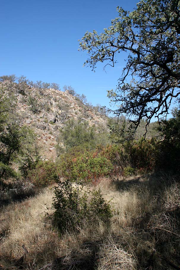 |
The eastern half of the loop is really pretty with the oaks and rugged hillsides providing some exceptional contrast. It felt great to out with Mother Nature today. The brisk breeze was not prevalent now that I was off the top of the mountain and I was glad. I am not a fan of continually messing with layers during certain wintertime conditions, like was the case today. I climbed for less than half a mile before the loop started descending towards Point K. | 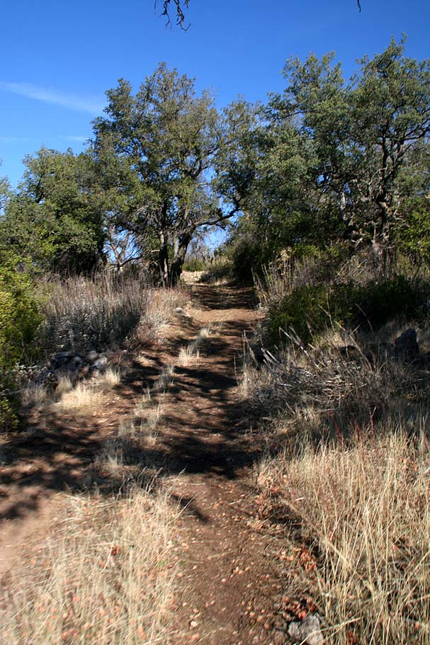 |
 |
Some nice views of the Santa Ysabel Valley started popping up through this section as well. There was only one quick and mild rise in the trail between Point K and Point L. At Point L, the Coast to Crest trail continues to the northwest for another 1.1 miles where it reaches Highway 79. It dumps off over 600 feet of elevation so I opted not to drop it just to have to slog back up the hill. I knew I had plenty of climbing between me and the truck already. |  |
|
||
|
|
||
 |
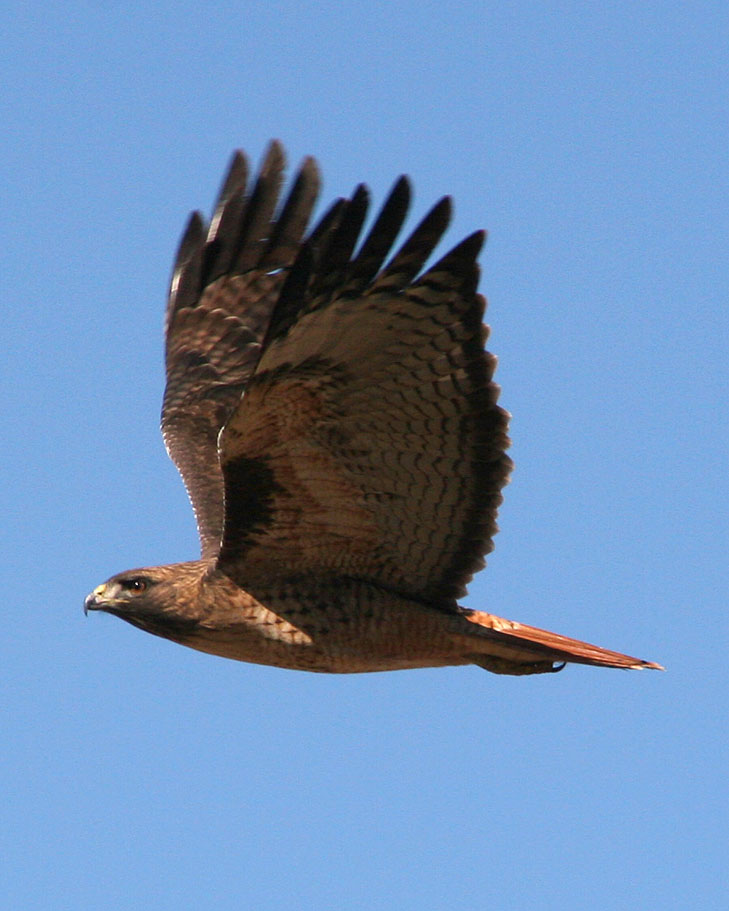
 Finishing off the rest of the Western Vista Loop was a very mild climb. The Coast to Crest trail from Point I back to Point G was an entirely different story. While it is a grunt of a climb on its own, I had paid little attention to the cattle hoof marks in some of the steep sections of the fire road on the descent. These hoof marks sucked quite a bit of extra energy out of the legs and was quite challenging in spots. It was in one of these spots where I had dabbed and was taking a breather when I saw a most remarkable animal. Finishing off the rest of the Western Vista Loop was a very mild climb. The Coast to Crest trail from Point I back to Point G was an entirely different story. While it is a grunt of a climb on its own, I had paid little attention to the cattle hoof marks in some of the steep sections of the fire road on the descent. These hoof marks sucked quite a bit of extra energy out of the legs and was quite challenging in spots. It was in one of these spots where I had dabbed and was taking a breather when I saw a most remarkable animal. |
|
 |
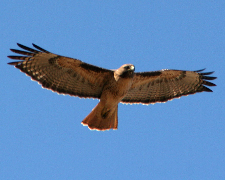
 I look up and see this thing in the sky moving along but not making a sound. My first thought was "Is that a hand glider?" That is how big this thing was. A split second later, I was thinking "Holy Crap!, That is a bird!" Now the classification in my head starts. It is not a buzzard or condor, seen them, know them. It is a raptor, way to big to be a hawk. Possibly a Golden Eagle, but the coloration is not right. Brown with with white tail feathers that are brown on the end. Hmm what is it? Ahhh S#$T!, my camera is in the bag. By the time I whipped out the camera it is was a long way away. After a long wait to see if it would return, I continued along my way heading back to my truck. I look up and see this thing in the sky moving along but not making a sound. My first thought was "Is that a hand glider?" That is how big this thing was. A split second later, I was thinking "Holy Crap!, That is a bird!" Now the classification in my head starts. It is not a buzzard or condor, seen them, know them. It is a raptor, way to big to be a hawk. Possibly a Golden Eagle, but the coloration is not right. Brown with with white tail feathers that are brown on the end. Hmm what is it? Ahhh S#$T!, my camera is in the bag. By the time I whipped out the camera it is was a long way away. After a long wait to see if it would return, I continued along my way heading back to my truck. |
|
 |
The return trip back to my truck was quite enjoyable after grunting my way up to Point G. The views where just as exceptional going in the other direction. All told I got in about 16 miles of riding with a healthy dose of climbing. This is an extremely picturesque place to ride and is well worth checking out. The only criticism I could give this area is that it is all fireroads. This is a huge chunk of land and the cows seem pretty intent on building a network of singletracks on their own. It would be nice to see some of those cow trails brought into the legit trail system. One of the primary goals for the establishment of this preserve was to assist in the completion of the Coast to Crest trail so recreational use it part of the plan for the preserve. If you would like to read more about the preserve check out the draft resource management plan on the County's website | 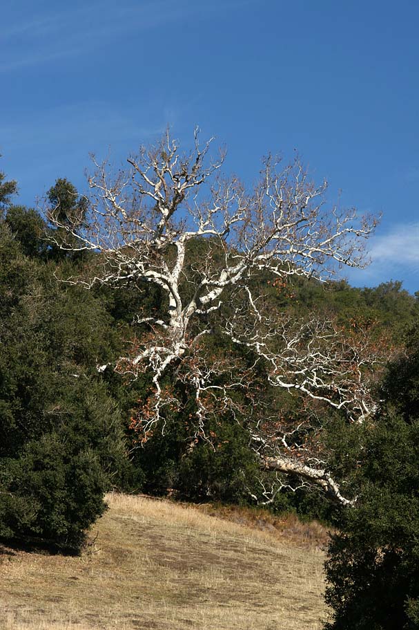 |
The following day I did quite a bit of research and identified the large bird of prey I saw as an adolescent Bald Eagle. Yes a BALD EAGLE. Bald Eagles numbers have been on the rise and they are known to roost near our larger reservoirs and lakes during the winter. There are at least one pair of Bald Eagles that currently call Lake Henshaw home. Lake Henshaw is only few miles away from the preserve so this all fits. |
||