
Elfin Forest Recreational Reserve
There are two things you will not find at Elfin Forest, elves or a forest. The place gets in name from the nearby rural community of (You guessed it) Elfin Forest. Ownership and operation is combination effort of the Bureau of Land Managment, San Diego County Water Authority the Olivehain Municipal Water District the area around the Olivehain Reservoir is set aside for recreation. There are 11 unique miles of trails that range from from boring utility gravel roads to technical lung buster climbs and descents. I would say the overall balance between those two ends are quality miles that will certainly get your lungs working and require you to use some technical skills. This is some of the best "in-town" perfectly legal technical stuff in North County. You do have to pay to play making this a good place to get in a good workout and work on your skills. Additionally, the sweeping views and cool air coming in off the Pacific makes this a very pleasant place to ride most of the year.
Hazards:This is for the most part a pretty technical trail. The Way Up trail is a lot of hiker traffic and a whole bunch on the weekend. I highly recommend avoiding the descent on this trail during the weekend. A bike bell is also highly recommended. My two longer route options below make use of the Los Cielos Preserve Trail to avoid coming down The Way Up trail.
Directions:
- Main Parking Lot: Located off of Harmony Grove Road. This parking lot often full on the weekends or peak times. There is an overflow lot just east of the main lot with a trail between the two. The parking lots does have a gate on it so if you might be chasing daylight use use the Los Cielos Preserve Trailhead.

- Los Cielos Preserve: There is no parking lot, but rather a pull out on the south side of Harmony Grove Road near the corner of Via Ambiente. If you are going to do any of the longer loops this is a viable starting spot.
- Del Dios Highlands Preserve: Do yourself a favor, dont park here and don't waste your time with the Del Dios Highland "Trail". It is a stupidly steep gravel road that the county is trying to pass off as a trail. It is a terrible thing to climb and a crappy descent. It is also known as "One and Done" for obvious reasons. But if you think prison sex "ain't that bad" then give it a shot.

Ride Notes:I'm going first talk about the trails on thier own and then discuss how they are pieced together as routes I recommend.
The Way Up Trail
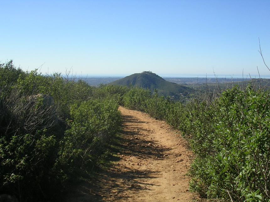
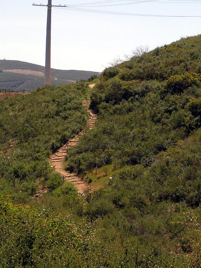
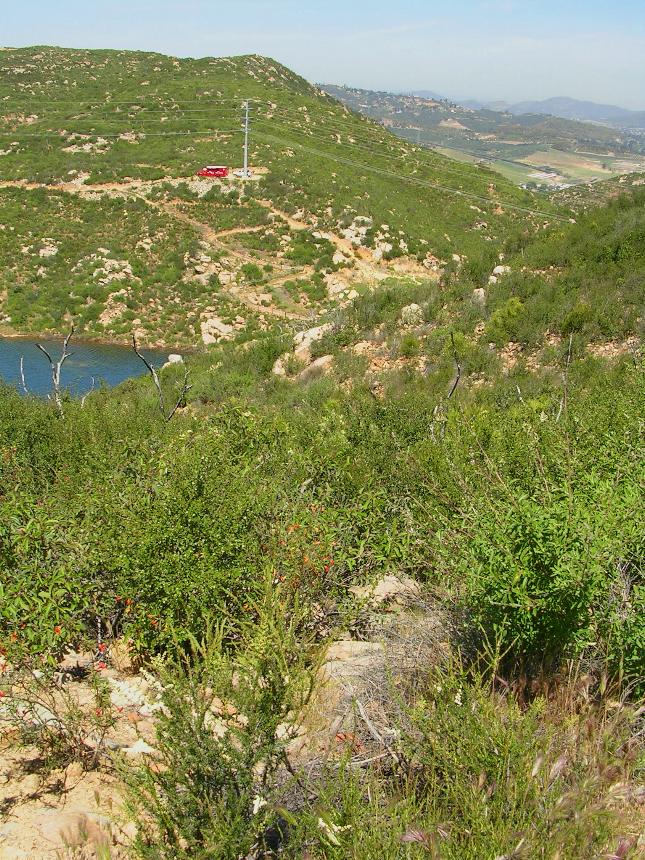
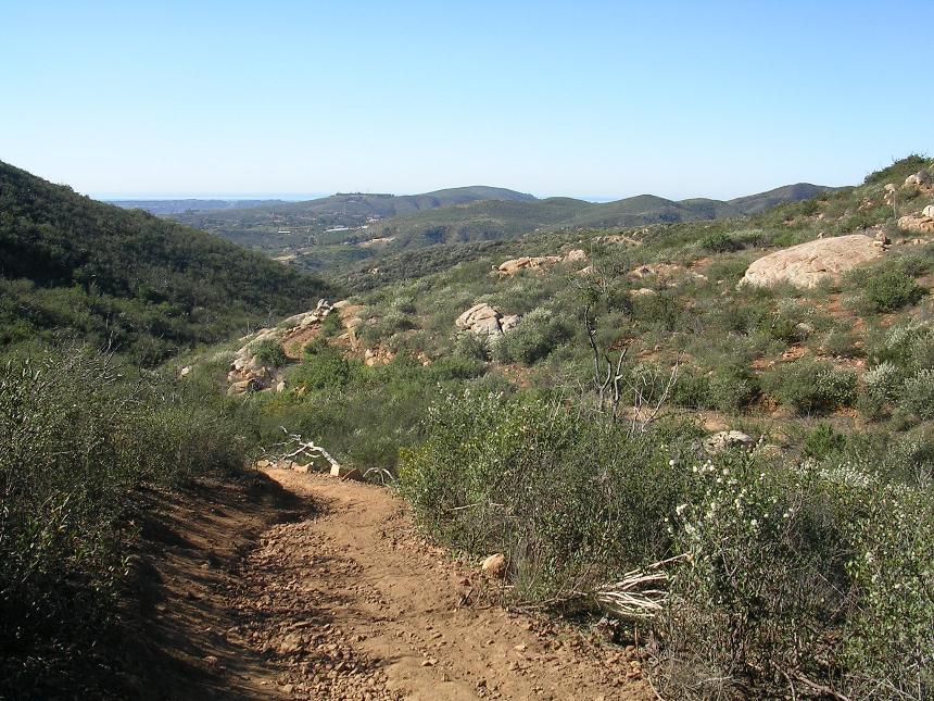
From the main parking lot there is only one way to go and it is called "The Way Up". It is a 1.4 mile climb can gains 700 feet. The climb has some nice rocky sections here and there which will require both finesse and power to clean. As an additional technical kicker the "peak" move is often at the end of a section that required both elevated and sustained power output. You will also find quite a few switchbacks on this climb. They vary in difficulty from wide sweepers to tight with rock ledges. Most of these sections on thier own are tricky but the further up you go the more compounding the fatigue gets until things mellow out very close to the top. I think even the most skilled of riders will consider it some level of accomplishment to clean The Way Up trail without a pause.

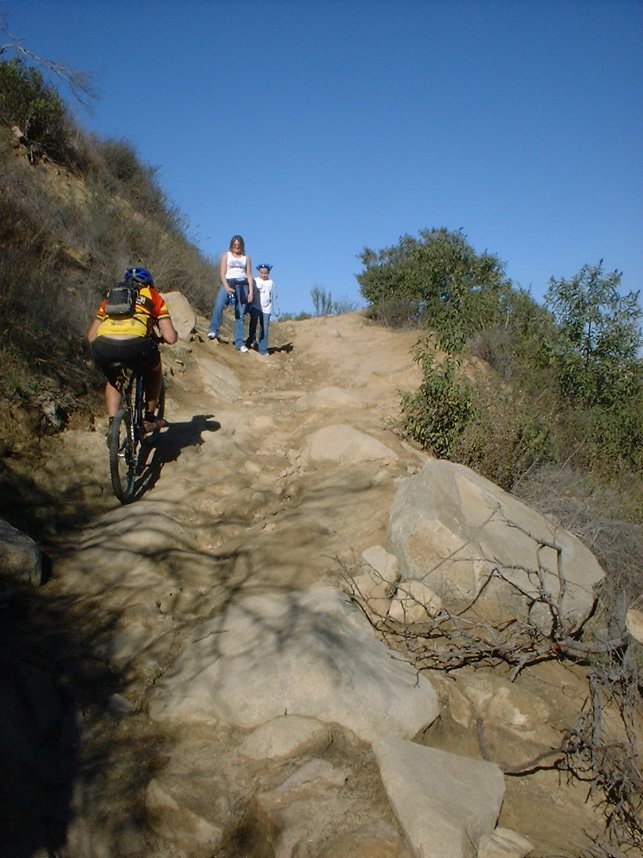
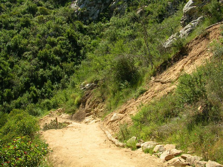 Note: Over the years The Way Up trail has seen it share of damage and rework. In the winter of 2005 a landslide and other significant damage, caused by near record rainfall, forced the closure of the park for several months. During that time extensive repairs were done to The Way Up trail to allow for the better drainage and it's long term sustainability. In the short term, folks wanked about the trail being neutured and looking rather "clean", less rocky and rutty. Since then the trail has seen further rework and armoring and as of 2022 there is plenty of the old character of this trail. It maybe harder these days.
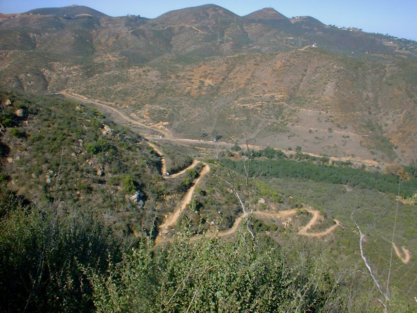
The view looking back down "The Way Up" trail at some of the series of switchbacks. There is a biker on the trail for reference.
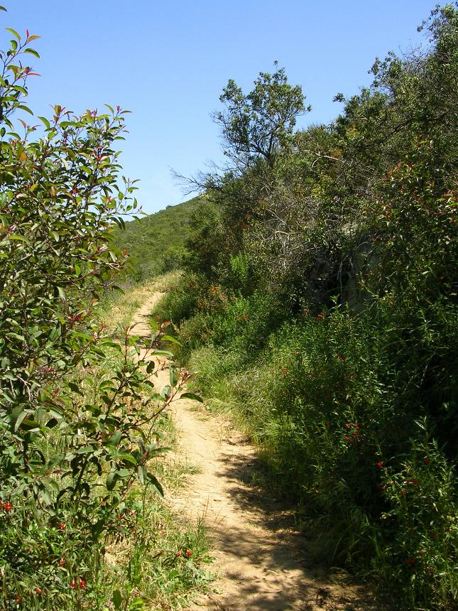
More views of the climb
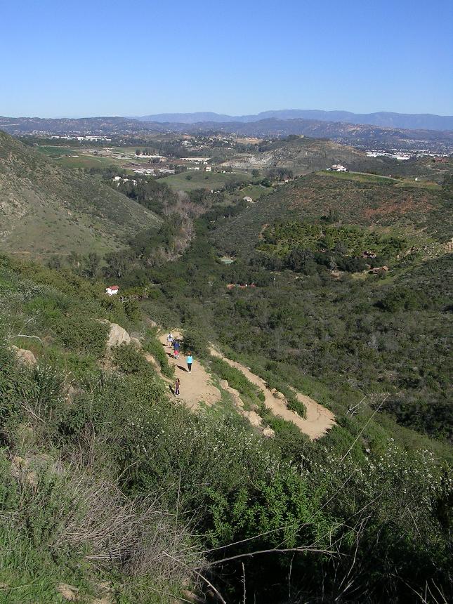
Another look back down at the series of switchbacks on "The Way Up" trail.
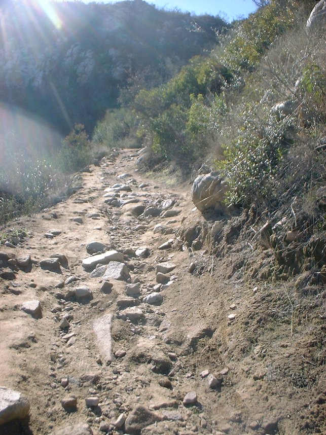
One of the rocky sections.
Looking back down at the parking lot
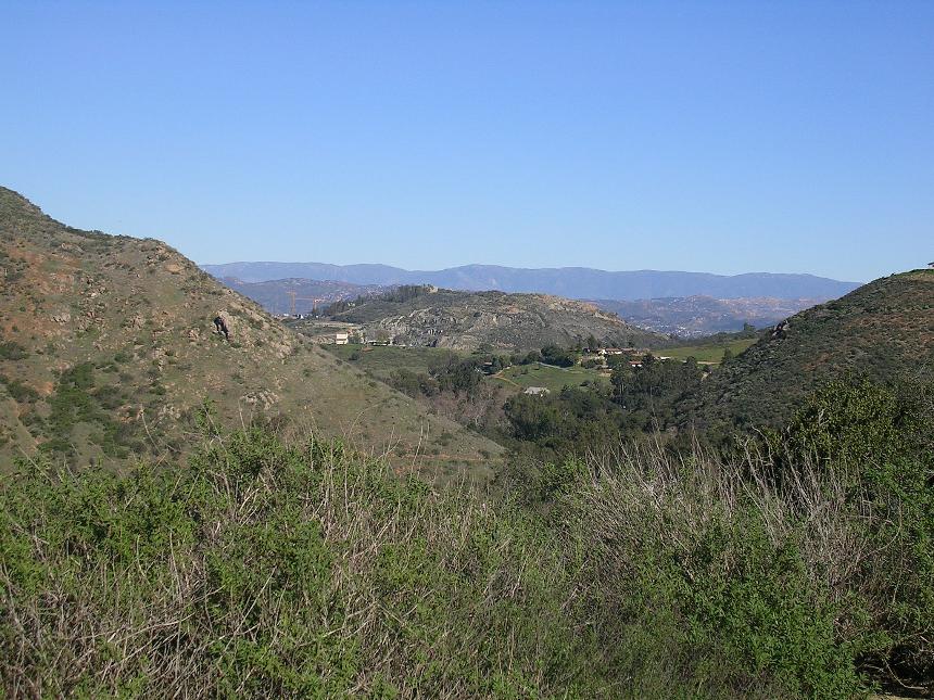
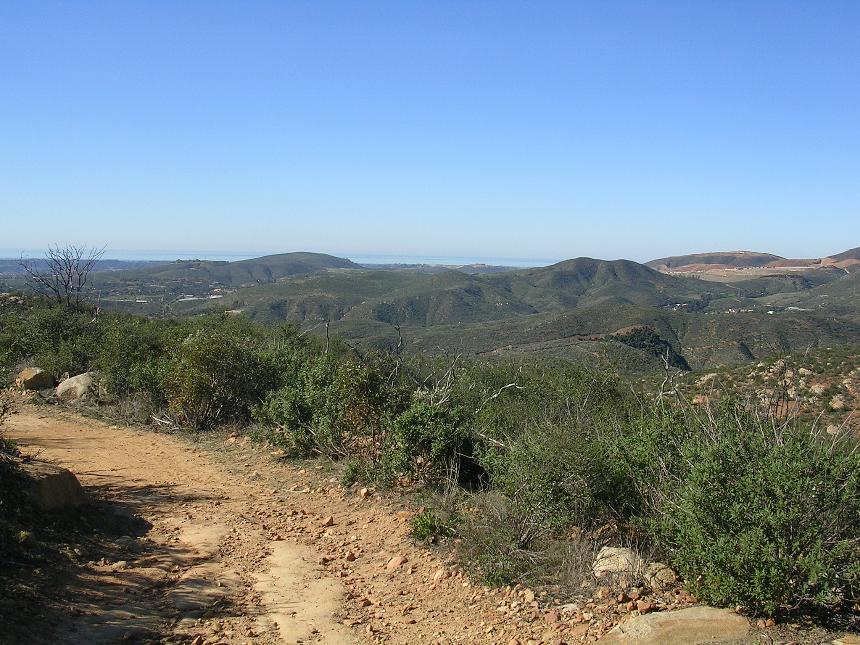
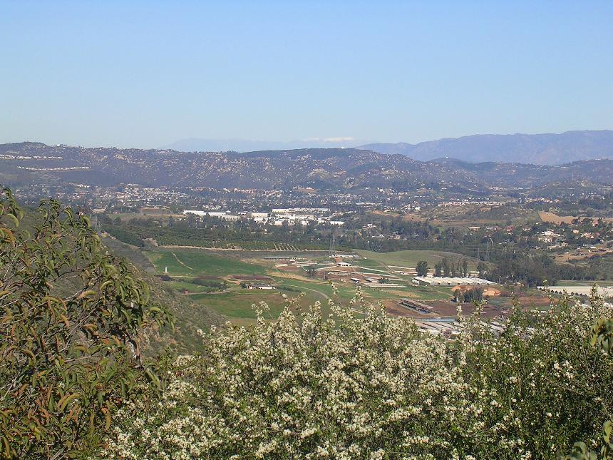
Wonderful views to the north on you way up.
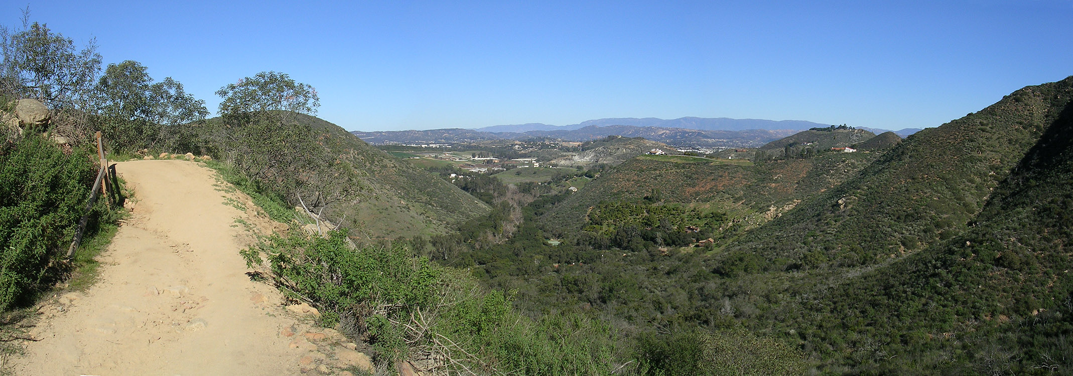
A pan shot from "The Way Up" Trail
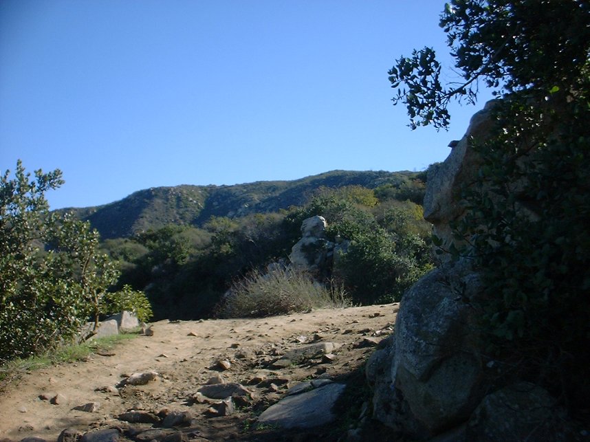
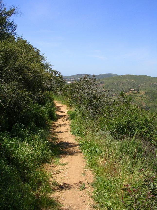
Once you finish off "The Way Up" the trail flattens out where you come to an intersection of several trails. All of the trails ultimately end up some where near the flat spot so this is a good visual reference to make.
Equine Incline Loop
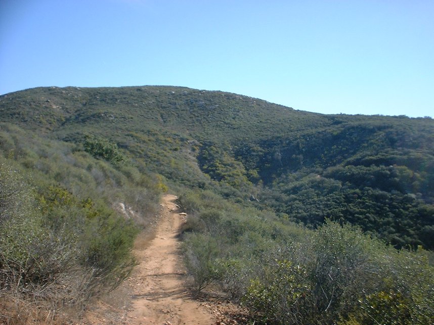
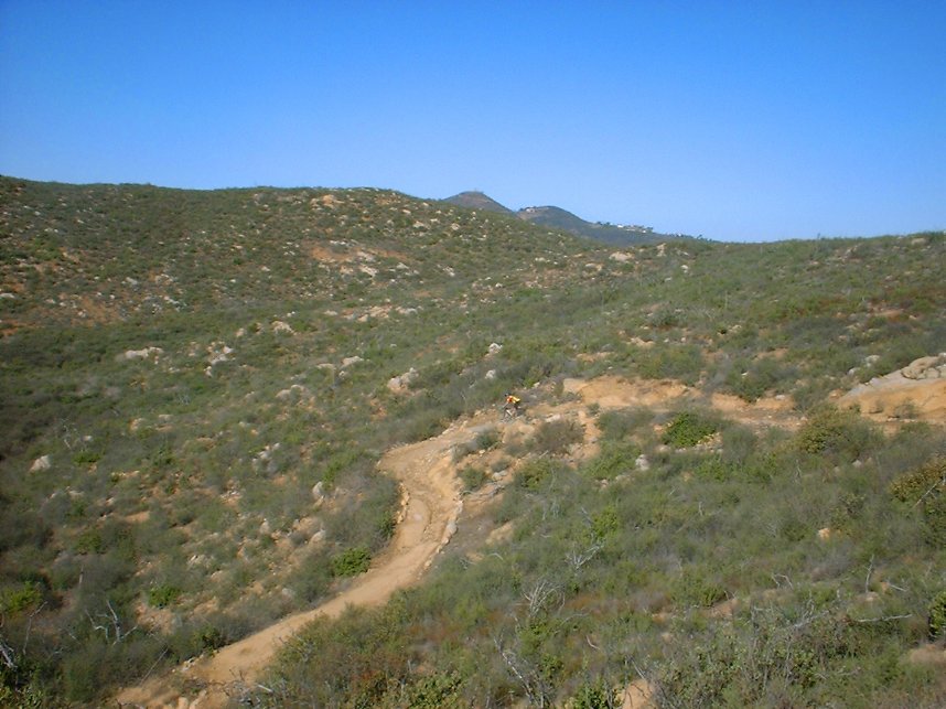
The Equine Incline Loop is one of the main loops up top and I pretty much don't consider having ridden Elfin Forest unless I have done this loop. The loop can be done in either direction and each direction has good stuff to offer. I can't say that I prefer one direction over the other. If you take the first entrance to the trail on your right you will do the loop in a counter clockwise direction. This direction offers some fun fast downhill fun with a few technical sections consisting of some rock steps and rocky loose turns. You will ultimately end up in a low spot where you will get to do some technical climbing up to the parks high point near the junction on the Manzanita Trail. I'm not a fan of descending the section of the counterclockwise loop between the Mazanita trail back to the large flat area. I rather enjoy the climbing challenging of that section when doing the loop clockwise. When doing the loop clockwise the descent from the Manzanita trail down to the low point is a nice bit of XC technical goodness.
Here are some additional pictures from
along the Enquine Loop Trail
Manzanita and Tyke's Hike
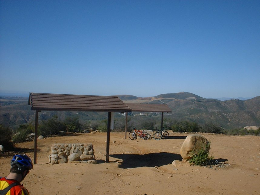
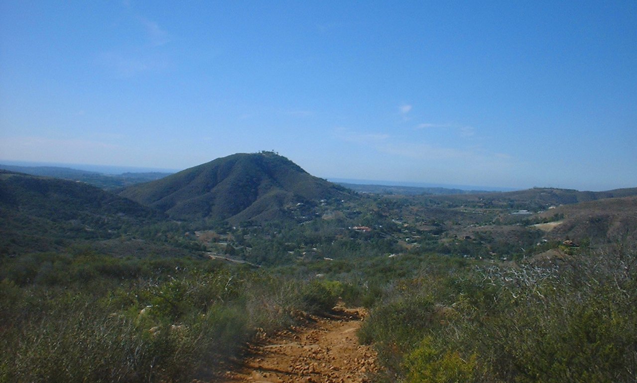
I have grouped these two trails together as I think they just go together. These trail can be ridden in either direction and on thier own, but prefer doing the from the top of the Equine Incline Loop. From the shelter/bench at the top of the Enquine Incline Loop Trail (Where on a clear day you can see the San Jacinto and Cuyamaca Mountains as well as downtown San Diego, Point Loma, La Jolla, and Coronado Islands off the coast of Mexico) you pick up the Manzanita trail in the south west corner of the overlook area. The Manzanita Trail continues to the south where it offers up some views of the reservoir, but keep your eyes on the trail as you will have some large rocks as well as loose corners to contend with. In just 3/10ths of a mile the trail dumps out onto a fireroad will you will bear left and bomb down the hill.
Looking North at the San Bernardino Mountains
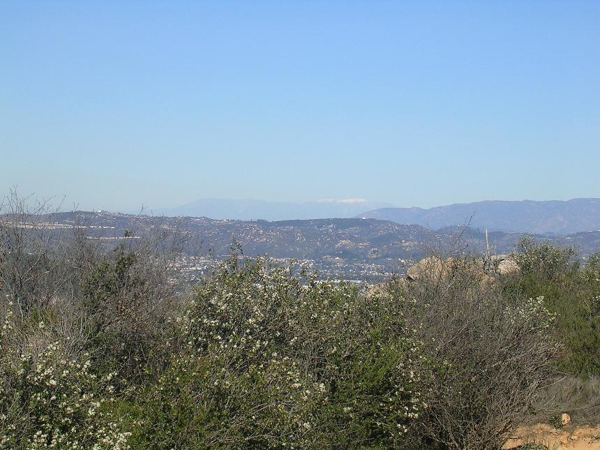
Looking North at the San Bernardino Mountains

Looking South you can see downtown San Diego, Point Loma and the Coronado Islands (38 miles away)
Be on the lookout to your right just after a bend in the trail. You will pick up the Tyke's Hike trail. This is short section of trail that is first steep going down and then steep going back up with some rocky loose bits to further complicate matters. This trail will bring back up to the fireroad you left earlier. Hang a right and you will soon come to Chaparral Trail on your left and Upper Tyke's Hike on your right and enjoy this 1/4th mile section of trail that will bring back out in the large flat area at the top of The Way Up trail.
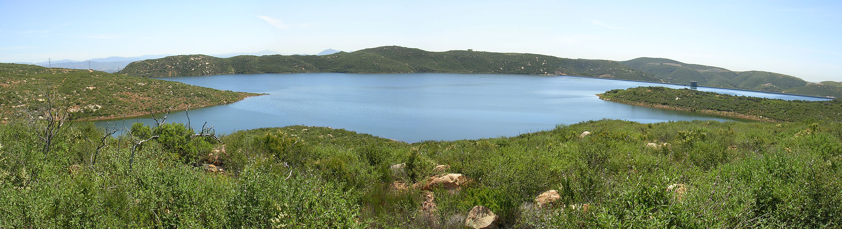
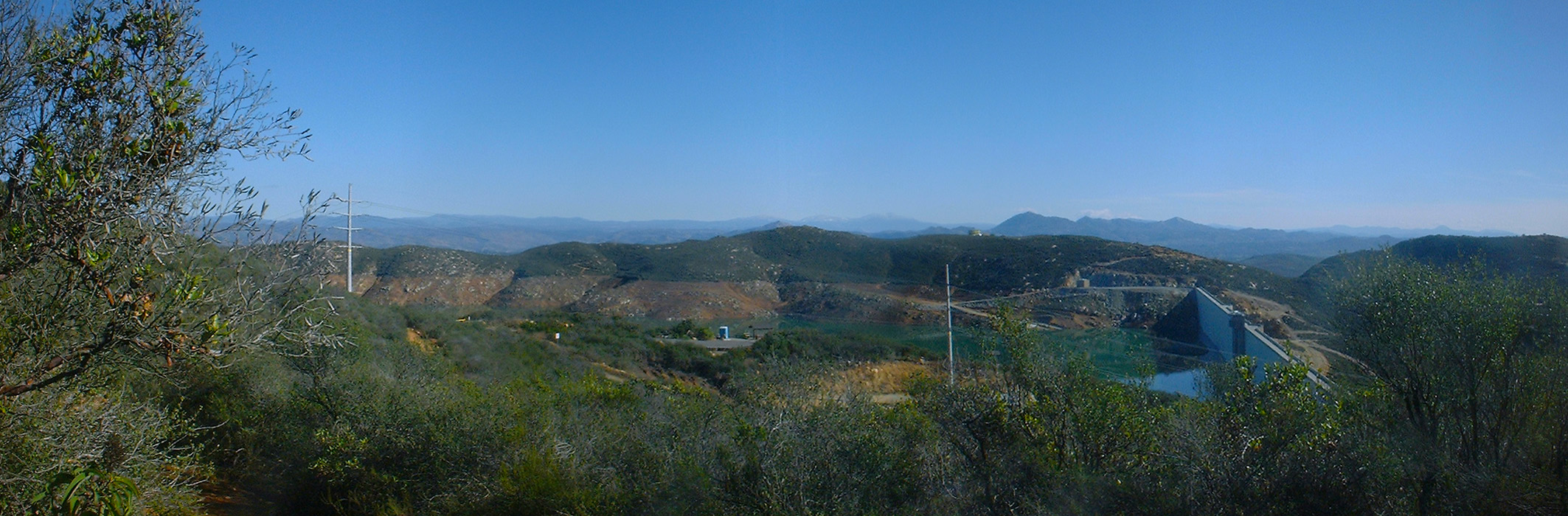
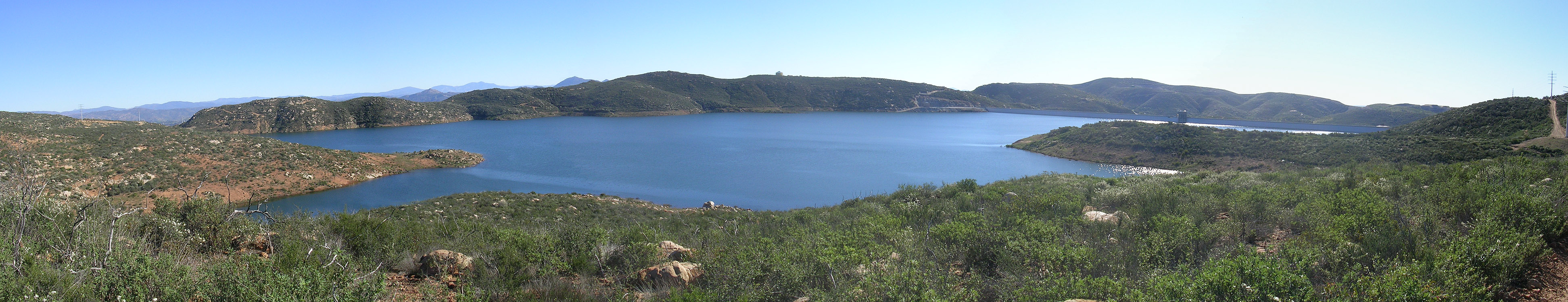
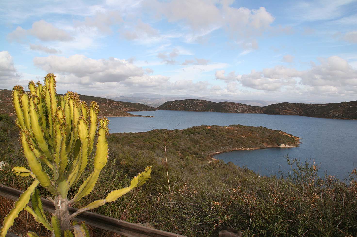
Lake Hodges Overlook
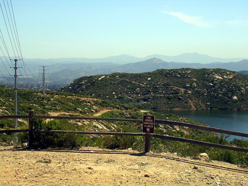
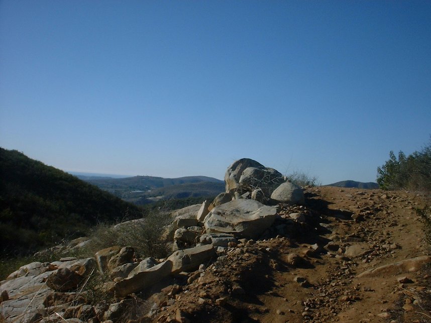
This trail was added to the system on January 1st of 2005. The trail started out as a 1.8 mile long out and back that starts off from the Escondido Overlook along a very wide fire/access road down the the eastern end of the reservoir. It was a collaboration effort with the reserve management, SDMBA and the IMBA trail crew. It started out 6-8 feet wide in most spots in order to meet county regulations for multiuse trails but it has since weathered into something more natural and more narrow. The trail does have a few technical items here and there and with some pretty steep pitches coming out of tight switchbacks as you make your way up to the south ridge. A few years later a loop trail was added beyond the Hodges Overlook which is a nice addition that offers some nice technical features as well some great views of the reservoir. This is now a quality lollipop shaped loop worth adding into your outings here.

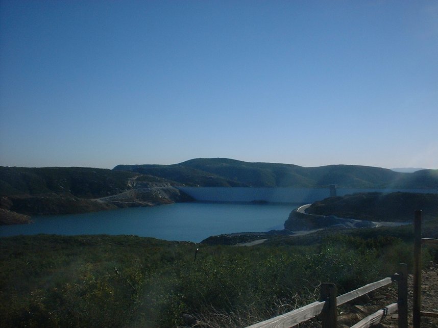
View of the reservoir from the South side along the new trail
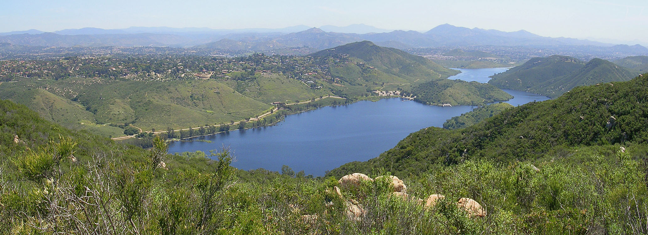
Lake Hodges from the overlook
Los Cielos Preserve Trail
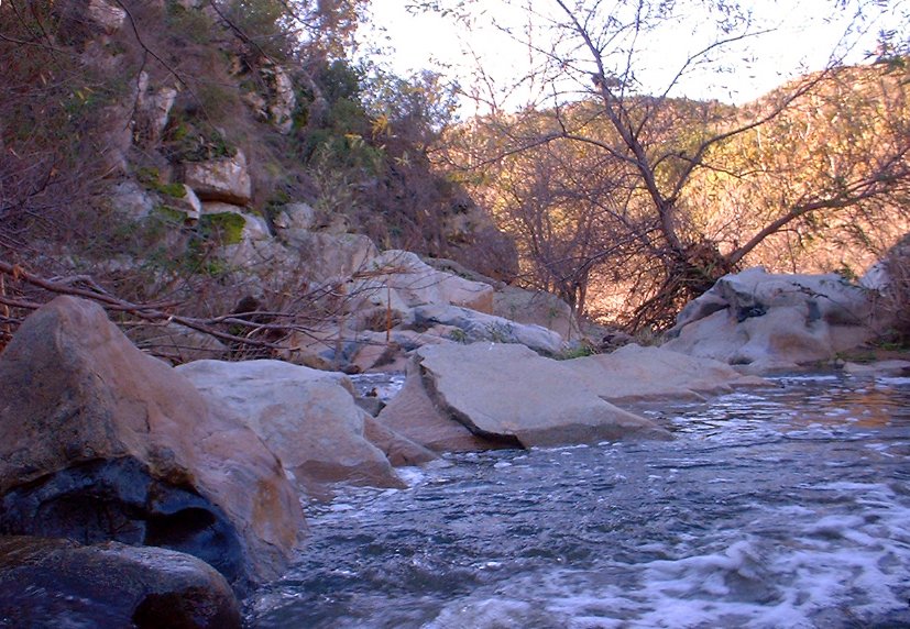
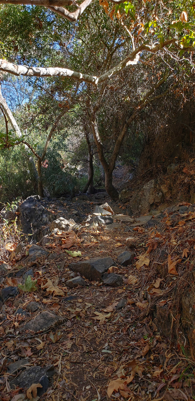
You will not see this trail on the offical Elfin Forest Reserve Map. The reason for this is that virtually all of the trail is off of thier property so they just don't show it. This trail used to be a renegade trail but it is now a full blessed trail as part of the Los Cielos Preserve that is adjanct to the Elfin Forest Reserve. I have always referred to this trail as the "Way Down Trail" as it is a good option get off the mountain top without having to deal with the typical hiker congestion of the The Way Up trail. The trail is 1 mile long with an elevation change of a little under 500 feet. Yeah its steep, but can be climbed. It is a very fun and somewhat rowdy descent.
The Short Loop
This short loop packs a punch with 1200 feet of some technical climbing in just 5 miles. Starting from the main parking lot make your way up "The Way Up" Trail. When you get to the top take the second signed entrance for the Enquine Incline Loop and do the loop clockwise. When you get back to main flat area. Turn left and head down The Way Up Trail. Be alert for hikers. A bike bell is highly recommended.
The Long Loop
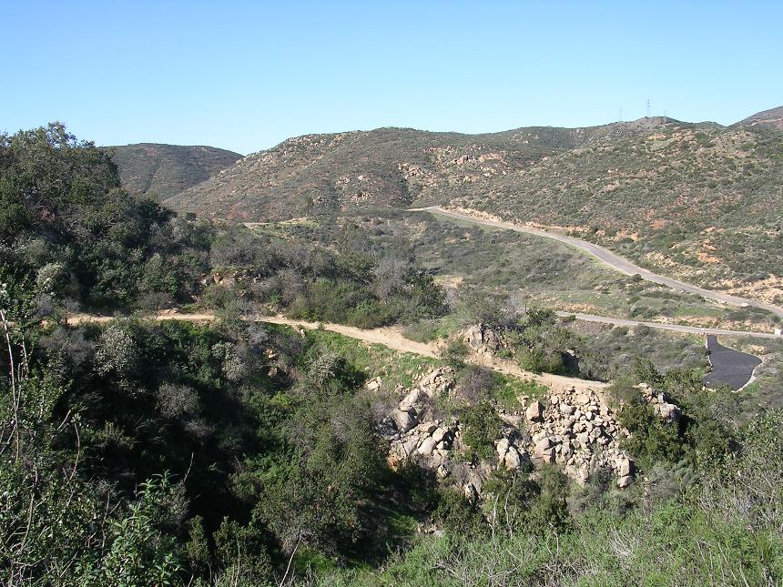
From the Los Ceilos Parking Area take Via Ambiente south. Go around the gate and immediately after crossing the bridge looke for a singletrack off to your left and take it. There are several forks in this singletrack but generally keep taking the left splits but don't cross the Escondido Creek. This will net you the longest amount of time in the trees. You will eventually be funneled up onto the Escondido Sewer Easement dirt road where you will continue east. Just before the road turns downhill to cross the creek you will see a singletrack heading to the east. Take it. There will be punch rise and descent as it works it way east into the Elfin Forest Recreation Reserve. The trail will cross the creek just west of the main trailhead. Roll through the staging area and head up the Way Up Trail. At the main intersection/flat area at the top,hang a left on the Ridgline Maintenance Road. Just before it gets steep hang a left on the Quail trail. This trail comes out at the stop of that steep section. Continue on the Gravel road towards the reservoir and loss some elevation as you work you way to far eastern end of the reservoir. Pickup the Lake Hodge Overlook trail at the end of this road and get your grunt on as you work your way over to the Overlook itself. From the Lake Hodges Overlook take the left most (east) singletrack to get on the loop trail.
The loop trail is a lot of fun. You will most likely not notice this shortcut trail off to your right at a low spot in the trail that will take you right back up to the overlook, but don't worry about that as you are going that way anyway. The loop feeds you back onto the overlook trail heading back towards the ridge maintenance road. Retrace your way back to the large flat area via the Ridgeline Maintenance road and the Quail Trail. Continue straightish through this intersection and pickup Equine Incline trail and take the loop clockwise. There is some gruntage to be done to get up to the highpoint of this route at the junction of the Manzanita Trail. It is worth a snack break at the top to take in some views before continuing along. The descent down from here is a good chunk of technical fun. After the low spot you will have a short bit of steepish climbing to down before the trail turns towards the east and mellows out. At this point be on the lookout for the Los Ceilos Preserve trail heading off to your left. You should be right at the 10-mile mark at the junction. Take this trail and a nice bit of descending over the next mile. The trail will bring you out onto the Escondido Sewer easement dirt road. Hang a left and take it out to Via Ambiente. Hang a right and you should see the bridge, gate and parking lot you started from ahead.
The Longer Loop
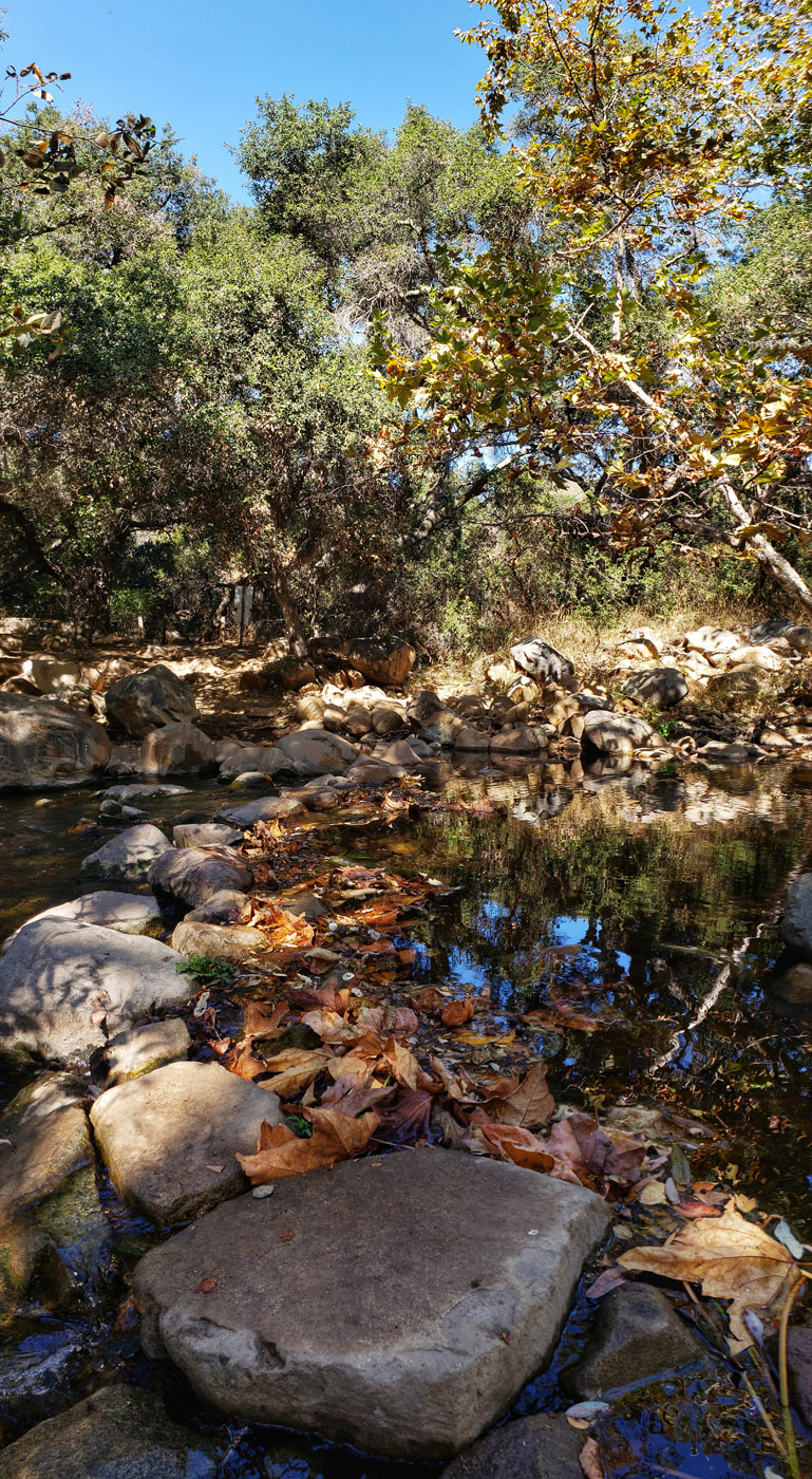
Looking to see just about everything with the full experience? Well this 13 mile loop with 2,000 feet of climbing with get you on just about everything. This route starts from the main parking lot but it can easily be adjusted to start from the Los Ceilos parking area as well. From the main parking lot you will take The Way Up trail and the go out to the Lake Hodges Overlook and do the loop. When you come back from that lollipop, you will then pick up the Chaparral trail and climb up to the high point on the Equine Incline loop. From that high point you will descent the Manazanita and pick up the two sections of the Tyke's Hike trails. You will then do a quick loop with the Me-xal trail and then catch the Equine Incline loop in the counterclockwise direction. You will take this up to the high point of the loop (where you at earlier in the route). After enjoying a snack go back down the Equine Incline Loop (clockwise). Q: Why? A: This is one of my favorite bits of descending that you can do out here without worrying about a hiker every 50 yards. You will peel off of the loop onto the unsigned Los Ceilos Preserve trail off of this loop. Enjoy the one mile of nearly all descending that will bring you out onto the Escondido Sewer easement dirt road. Hang a right and after about 3/4th of mile pick up the Los Cielos - Elfin Connector singletrack. This is nice bit of singletrack that includes some tip-toeing across Escondido Creek just before you get back to the main parking lot. You should feel much more worked that the mileage would otherwise imply. You might even have a smile on your face as well.
Videos
Going down "The Way Up" Trail.
Another outing at Elfin Forest that pretty much has the rest of the trails.