
Harding Truck Trail
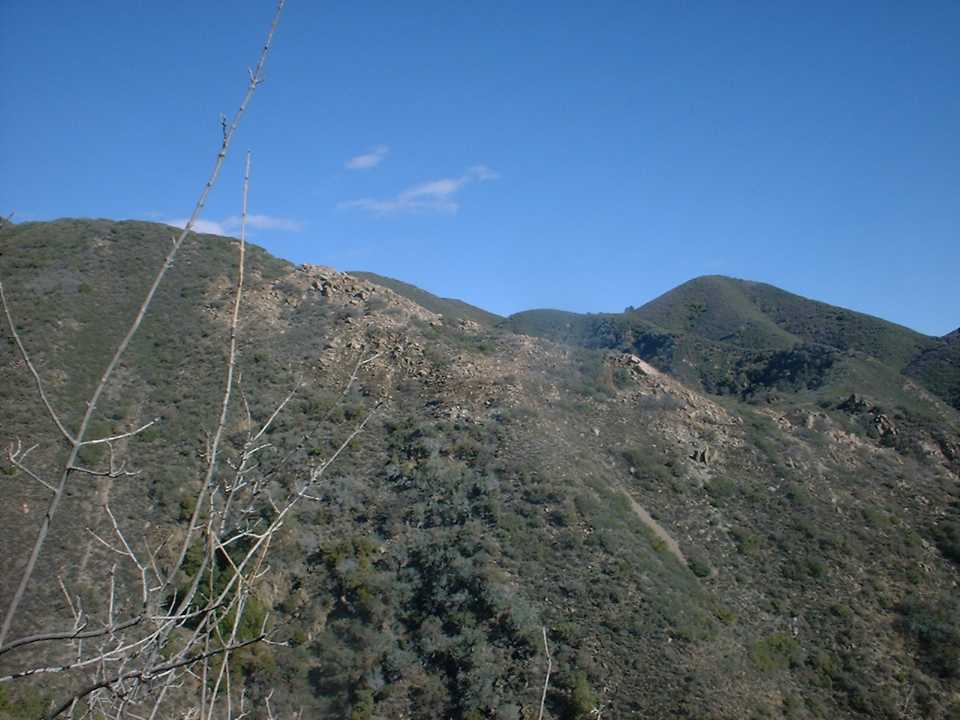
The Harding Truck is a long climb up of nearly nine miles that is sure to push your lungs and legs. While not a technical climb it is quite strenuous gaining a little over 3,000 feet in 8.9 miles. There are some absolutely fabulous views on this climb. While you could just turn around when you get to the Main Divide Truck Trai, the money is linking up with Silverado Motorway, Holy Jim or the Joplin trails for a really big loop. The first time I did this climb I continued on upward along the Main Divide Truck Trail to the highest peak in Orange County, Santiago Peak with an elevation of 5,687 feet. From here I continued on down the other side of the peak to the Holy Jim trail and then did a pavement return back to the Harding Truck Trailhead for a total of 36 miles. On another outing I dropped the Joplin Trail.
- Directions: Here are two options but you can find multiple spots along the roads used to close off the loop
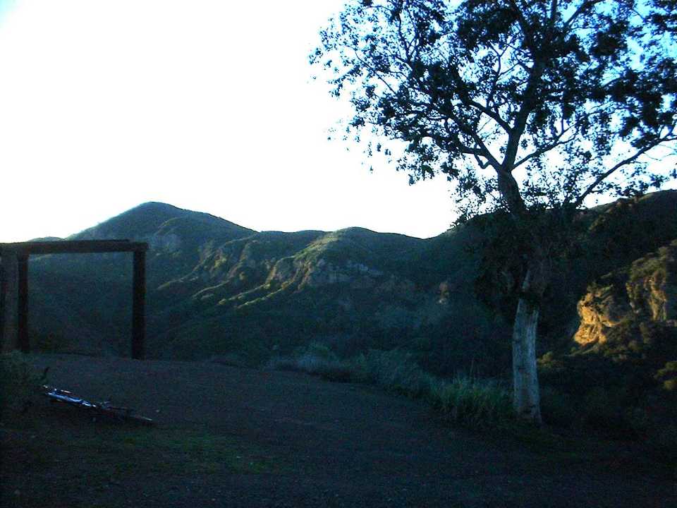
- Harding Truck Trail Trail head at the end of Modjeska Canyon Road. This is a good option but it is a bit of a cold start on the climb.

- The Infamous Cook's Corner: Park at the back of the lot off of Live Oak Canyon Road near the junction of El Toro Rd. You get to finish the loop on a downhill and you are warmed up by the time you hit Harding Truck Trail. Oh and beer and Cook's Corner.
Harding - Holy Jim Loop:
Harding - Joplin - Luge Loop:

Video
RIDE REPORT: (Using Holy Jim for a loop)

I arrived at the trailhead at 7:00AM and it was cold. Of course I was down in the shadows of the canyon so I figured it would be warming up soon. I had on a pair of baggy shorts, leg warmers, a short sleeve jersey with arm warmers and a long sleeve jersey over that. To keep the melon warm I had on a head sweat and an ear warmer. I also put a windbreaker vest in my camelbak. I was pretty sure I would be peeling some of this stuff within a half hour of riding.
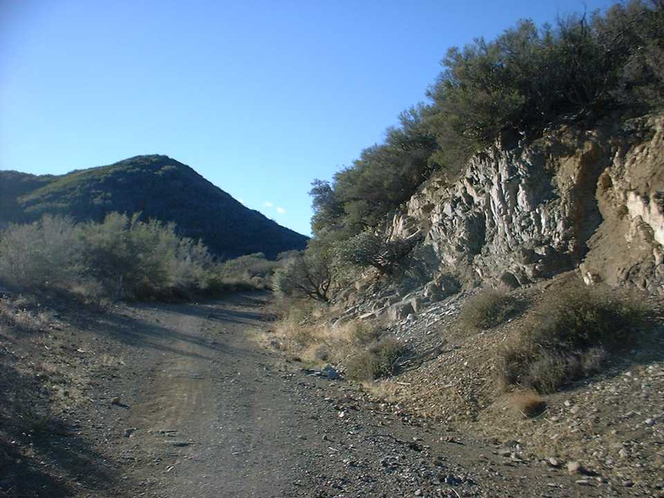
The climbing starts immediately as you go around a closed gate and start working your way up the truck trail. This is a tough way to get started without a warm-up. The trail was in pretty good shape after the recent rains and it was not technical for a climb. In most places you can see the trail working its way up the mountain so you have no illusions of being anywhere near the top. At around one mile the trail actually turns down for about a tenth of a mile. Normally a break from climbing would be welcomed but this was downright mean because you can see that you have to immediately regain all the elevation you loose during the break.
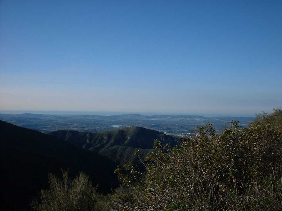
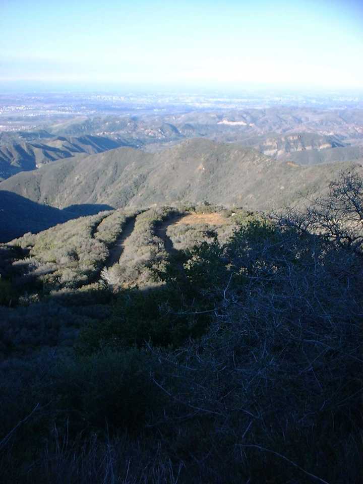
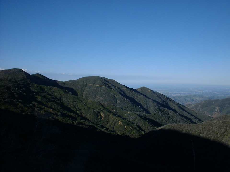
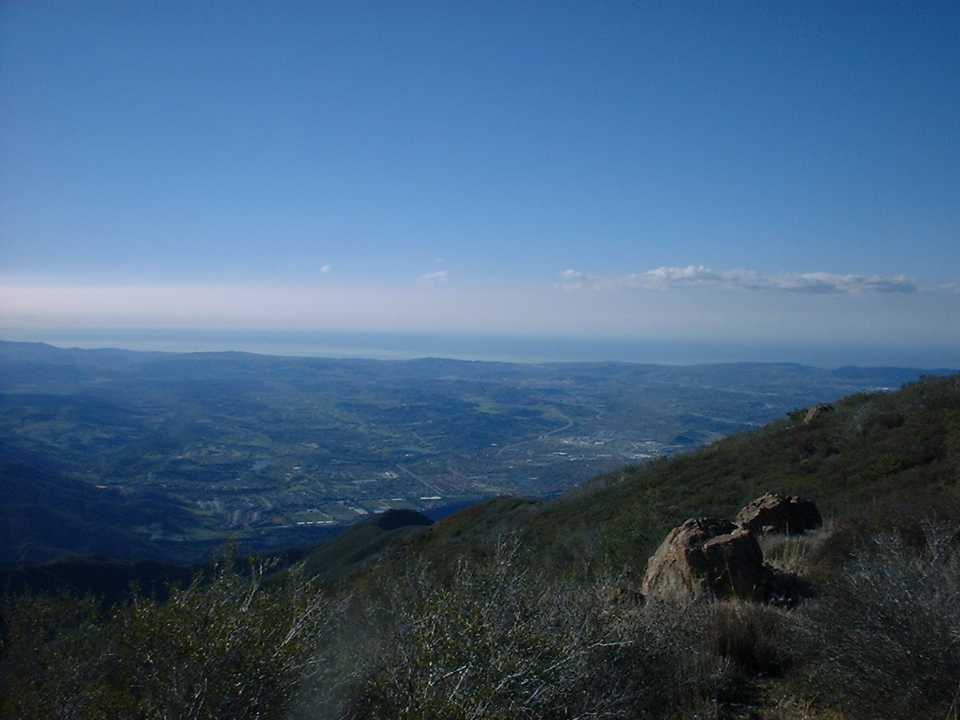
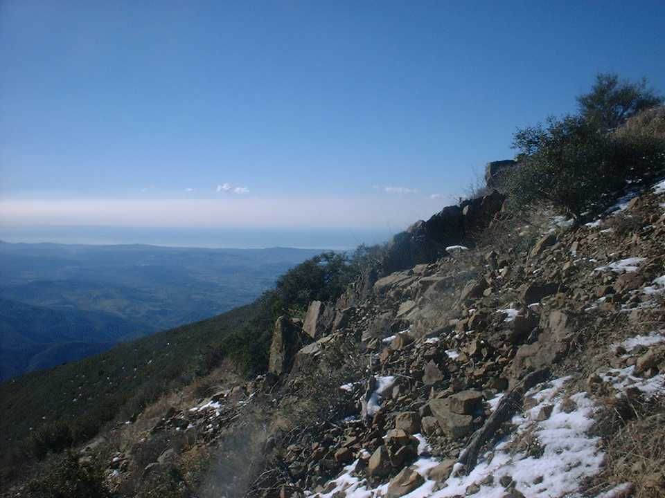
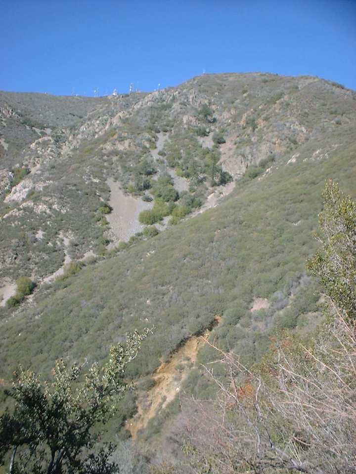
 Once you regain that elevation you get a great view across Mojeska Canyon to see the Santiago Truck Trail on the far ridge. In many places during this climb you can see this trail and it was pretty cool to watch it get smaller and smaller.
The wind was very gusty and there were a few times I had to adjust my balance to keep from being blown over. I was for the most part fairly comfortable. When the trail had me exposed to the mostly North-Northwest winds my fingers and chest would get a little cold. I was quite happy with my decision to wear the ear band as I am sure cold ears would have put a dip on the fun-o-meter.
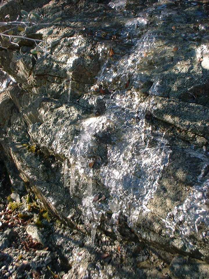
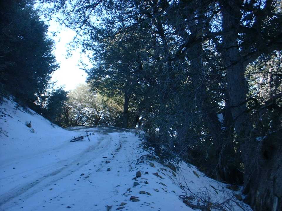
At around 7.5 miles into the climb the trail started to feel different in many places. I could not quite put my finger on it until I saw a small icy runoff on the side of the trail. The moisture in the ground combined with the freezing temperatures overnight had made the ground crunchy. This is something we do not see often here in LoSoCal (Lower Southern California). Although the sun was peeking into the canyons now the wind was also kicking up. I had expected that as the day went on, it would offset the lower temperatures of the higher elevations. That was not happening, as I was getting cold across the chest and my toes where getting cold. This was quite apparent at around 6.8 miles where there was a ¾ mile slight downhill section in the shade of Mojeska Peak. I could have really hauled some ass here but I found the self-imposed wild chill factor to be a little much so I just cruised through it.

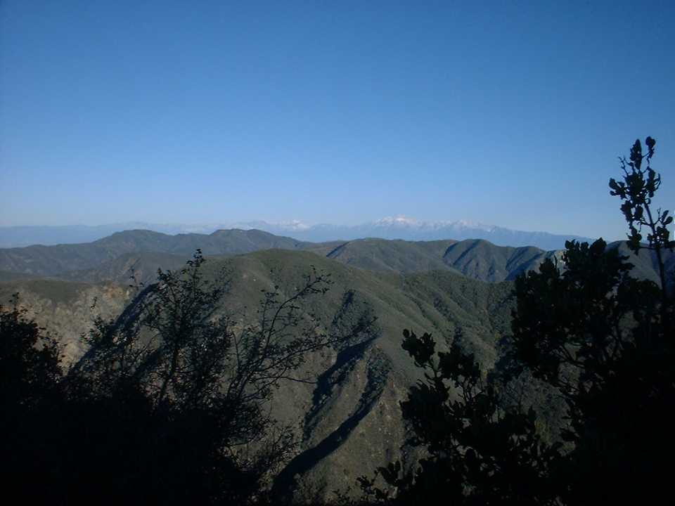
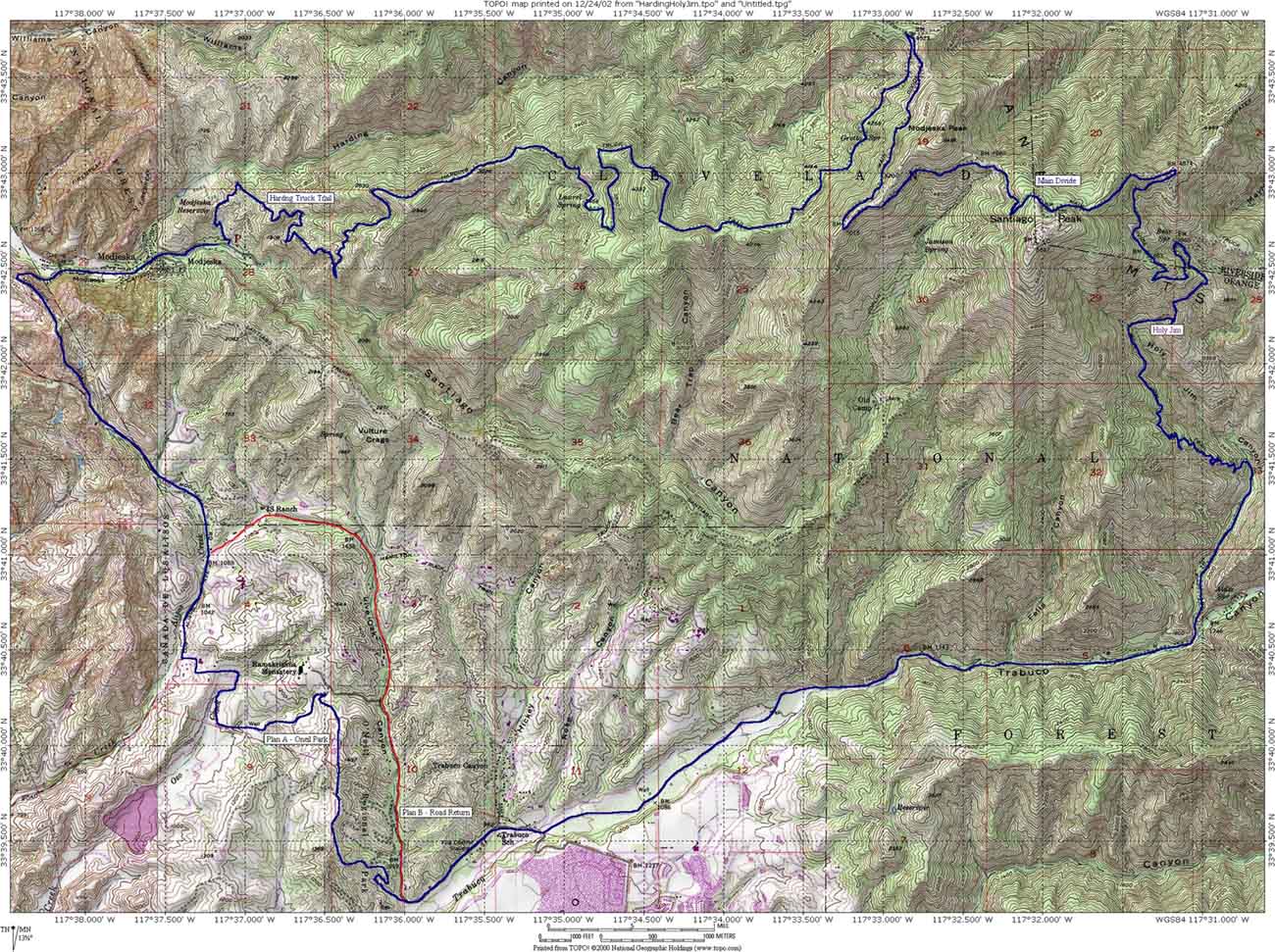
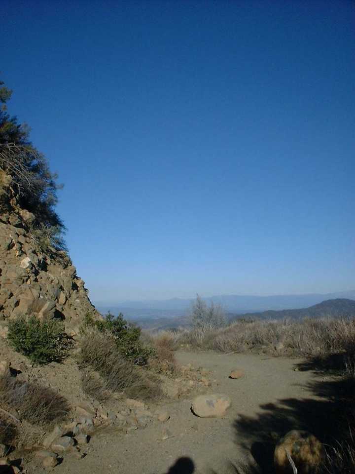
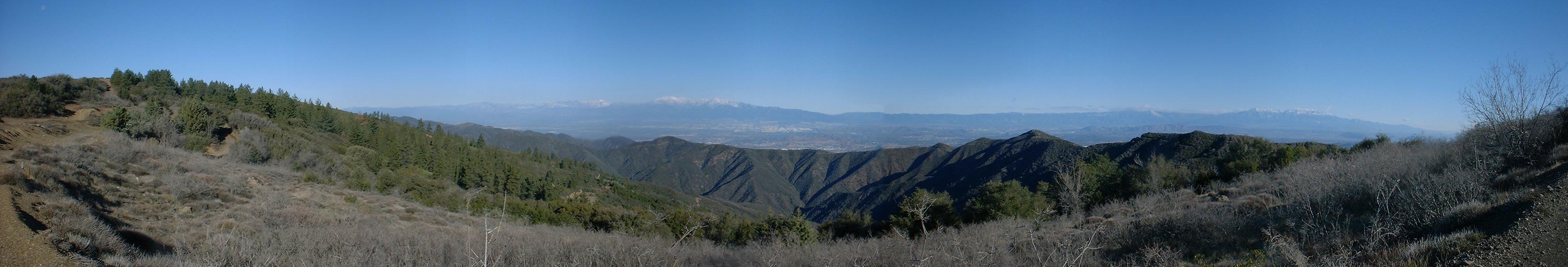
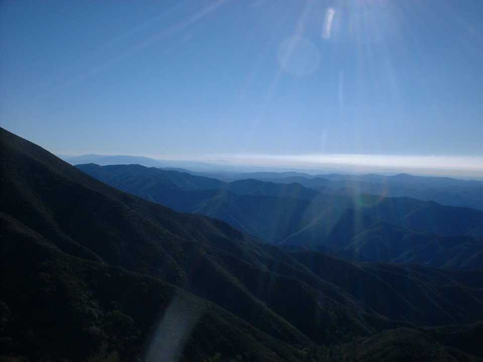
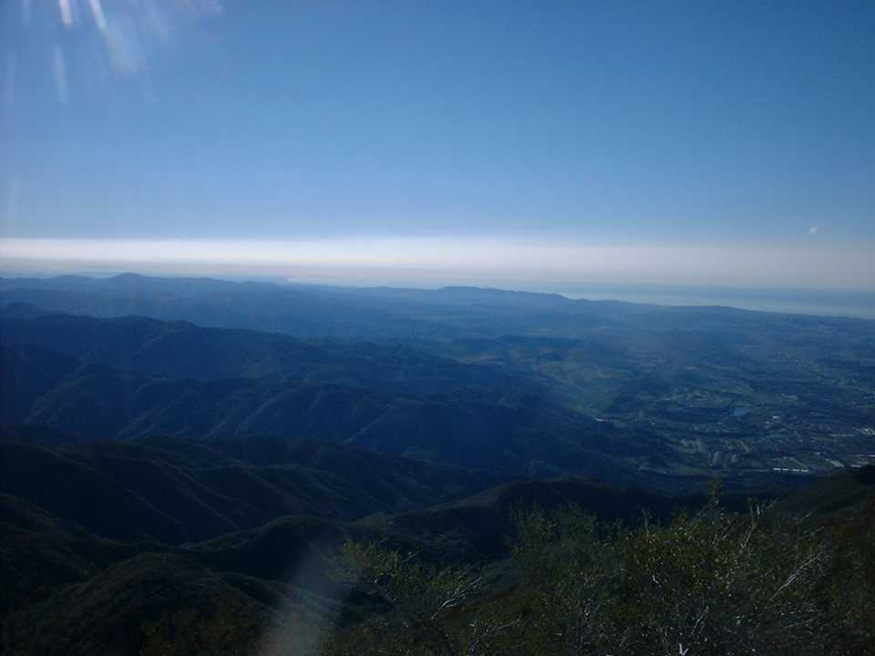
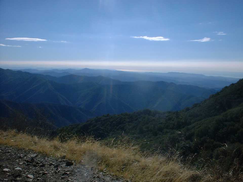
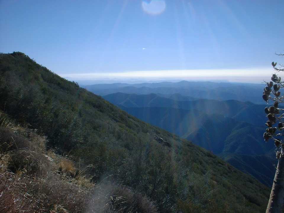
After the downhill section it was back to the climbing and at around 8.9 miles I reached Four Corners. This is where the Harding Truck Trail, Maple Springs Road (Actually it is a fire road), and Main Divide all meet creating (you guessed it) four corners. The views from here where absolutely spectacular. The unobstructed views to the north did come at a price as the wind was howling from that direction and it was quite cold. I broke out the wind vest from my pack and after some pictures and a quick bite to eat I got moving again.
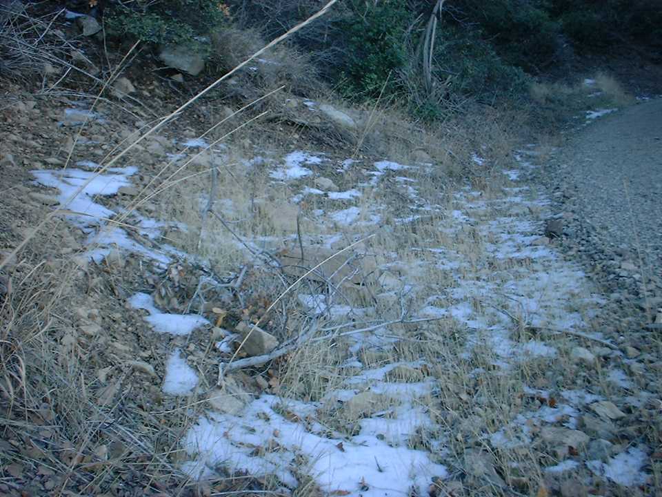
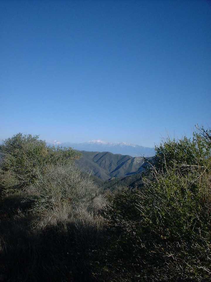
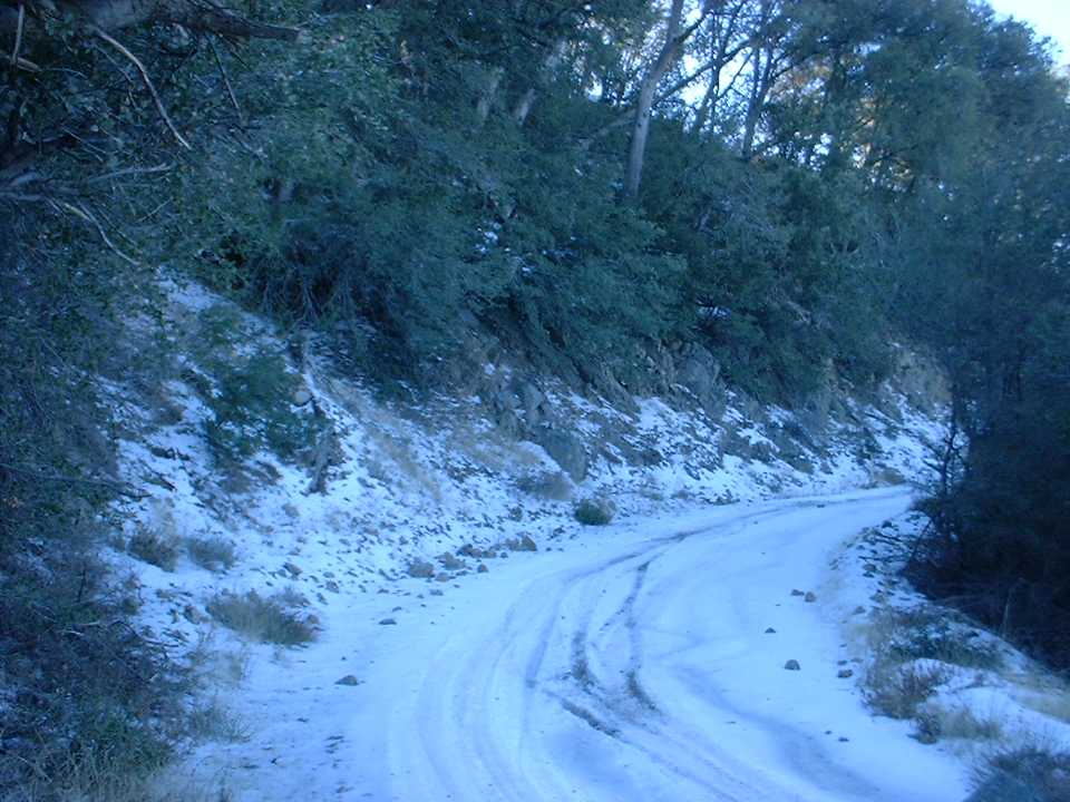
The section up the Main Divide Truck Trail to Mojeska Peak (or at least the closest the truck trail gets to it) was a little easier going than Harding Truck Trail. During this section I saw a few remnants of snow in the shadows along the trail. Once up to Modjeska Peak there was another one of those cruel losses of elevation that you will just have to regain. This time however I was in the sun and a little protected from the wind so screw the wind chill I blazed. It was quickly over and I was on the final section headed up to Santiago Peak.


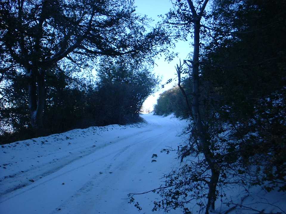
 The first thing I noticed was a rather large patch of snow that covered the entire trail. I had not expected snow and this was my first time riding in stuff. It was pretty manageable, it just sucked a little more energy out of my legs. My IRC mythos tires did a fairly decent job while climbing this final section. After rounding a sunny turn I was back in the shade with full-blown snow with ice hanging on the tree limbs.
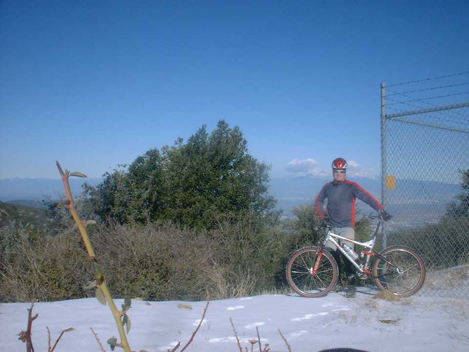
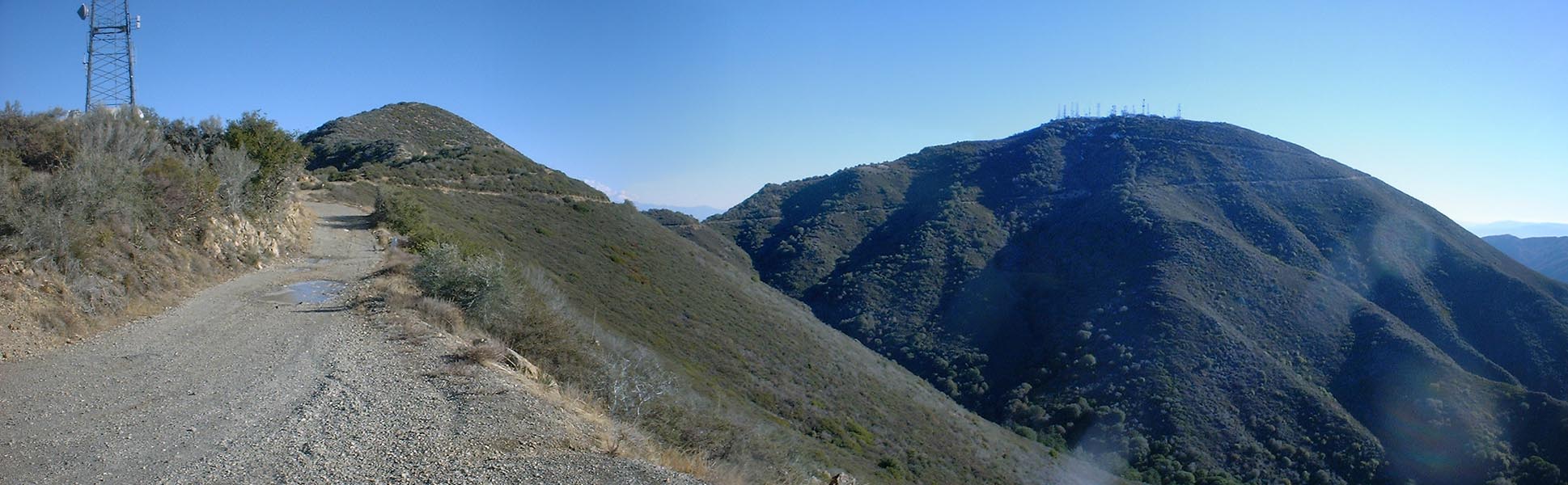
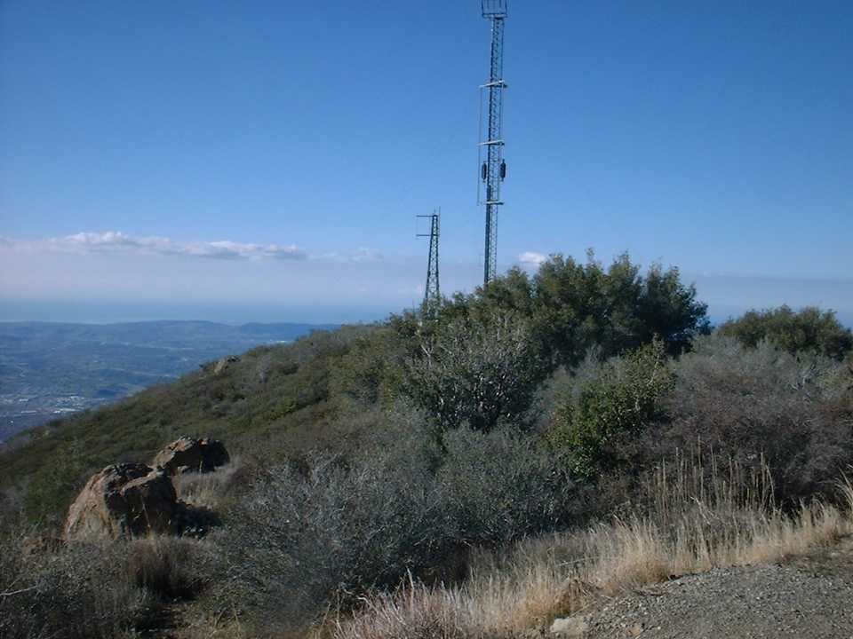
There was a ¼ mile of snow to get through before reaching the peak. With quite a bit of extra effort, at around 12.4 miles I made it up to the top of the Santiago Peak at 5,867 feet. There are a ton of antennas up on top of the peak which necessities that you walk around them to see all the views. There was still plenty of snow in the sunshine up here so my toes where very cold after walking around and taking a few pictures.
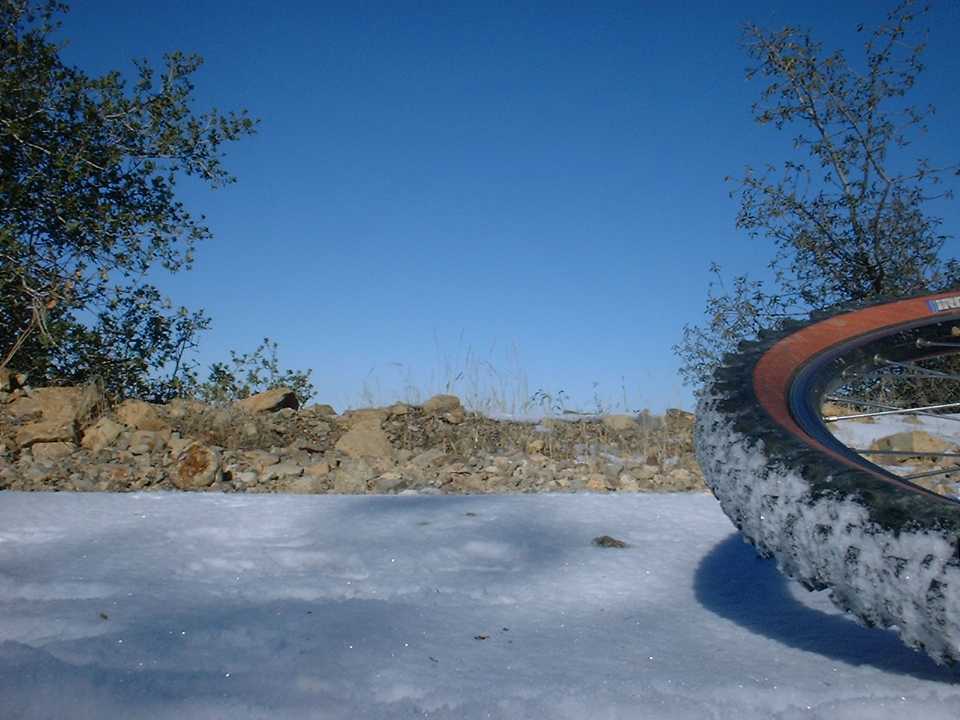
As I started the decent down Main Divide on the other side of the peak (This is the steepest part of the entire the truck trail to boot) I learned a couple of things about biking in the snow. First, SPD pedals are not so great in the snow. While walking around on the peak, the snow compressed around the cleats to make a nice ice brick which made my shoes impossible to get clipped in. I had to find a rock of just the right size to poke all the ice out. Second, biking downhill in the snow is downright tricky. I found that riding in a line (made by another vehicle) is about the worst thing you can do as there is a damn good chance it has been compressed into ice. Staying in the “new” snow provides for better steering and a little natural braking action that helps keep you under control. After about a ¼ mile of biking/sledding I was out of the snow and it was time for some fire road bombing. The truck trail was quite rocky and rutted (from 4WD types with more power than skills) which requires some good bike handling to bomb. The rocks on the trail here are the type that are best “flown” over, but with the many ruts I found myself riding slightly below the optimum speed. (Please check out this additional information on an alternate route to take on the way down from Santiago Peak to the Holy Jim Trail)
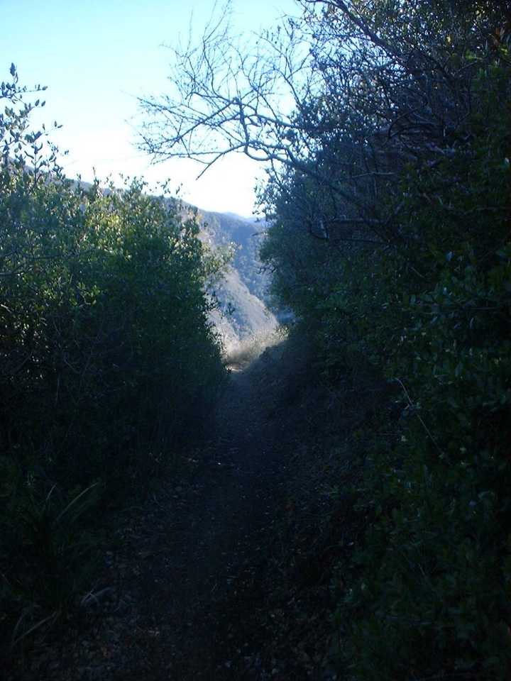
By the time I made it down to the top of Holy Jim my hands were ready for a break. It was also a bit warmer here so the wind vest went back on the camelbak. I think the mileage at this point was around 17 miles. Holy Jim had held up real well from the rains and it was an absolute blast. The fast tight twisting singletrack of Holy Jim was a welcome change from the previous climbing efforts. The creek crossings near the bottom of Holy Jim where higher that normal, but still crystal clear. My toes where still cold so I rock hopped across the crossings to lessen the chance of getting them wet. Once Holy Jim dumps out onto the dirt access road it was a blaze fest as the road is slightly downhill its entire length. There were three or four creek crossings with concrete culverts. Here I simply unclipped and pulled my feet up above the splash level. After five miles of easy big ringing at around 23 mph I hung a right at Live Oak Canyon road and followed it about a mile to O’neil Regional Park. The plan was to follow the Live Oak trail through the park and out to Santiago Canyon road.
However all of the trials in the park were closed due to wet and muddy conditions. So I went to Plan B that had me following Live Oak Canyon road out to Santiago Canyon Road at Cook’s Corner. It was nice and warm down at this lower elevation of 922 feet so I shed off the layers and got back to shorts and a short sleeve jersey. After another quick bite to eat I was off. I was pretty tired at this point and the climb up Live Oak Canyon rode was quite taxing. About 3/4ths of a mile from Cook’s Corner you peak out and then a short blaze fest ensues. The bike computer had my max speed in this section at 43.5mph. It was very short lived as I hung a right at Cook’s Corner onto Santiago Canyon road. It was a mild climb at this point, but I was noticeable slower than I normally am on this section. After about 1.3 miles I hung a right onto Mojeska Grade road. This is a steep paved road that is always taxing but it was down right brutal at this stage of the ride. It was all I could do to get up this hill in the granny gear.My computer registered 33.4 miles when I finally peaked out at the top the hill (and the trailhead for the Santiago Truck Trail).From here it was another blaze fest down to Mojeska Canyon road.After that there was a short ride up a gentle rise back to Harding Truck trail.My bike computer ticked over 36 miles just as I stopped the bike. This was by far my longest solo ride ever and I felt quite satisfied with completing it. One of my goals for 2002 was to ride the Main Divide Truck trail from the top of Black Star Canyon to the top of the San Juan Trail (not all at once). This was the final section I need to do to meet that goal and I even had eight days to spare.