
Lake Tahoe 2007
Day Four of the Norcal 07 trip
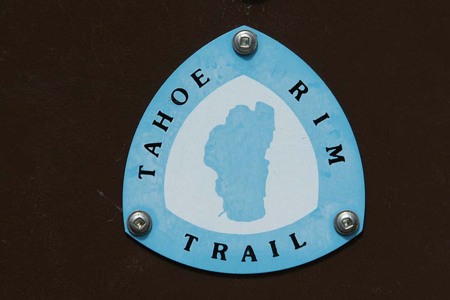
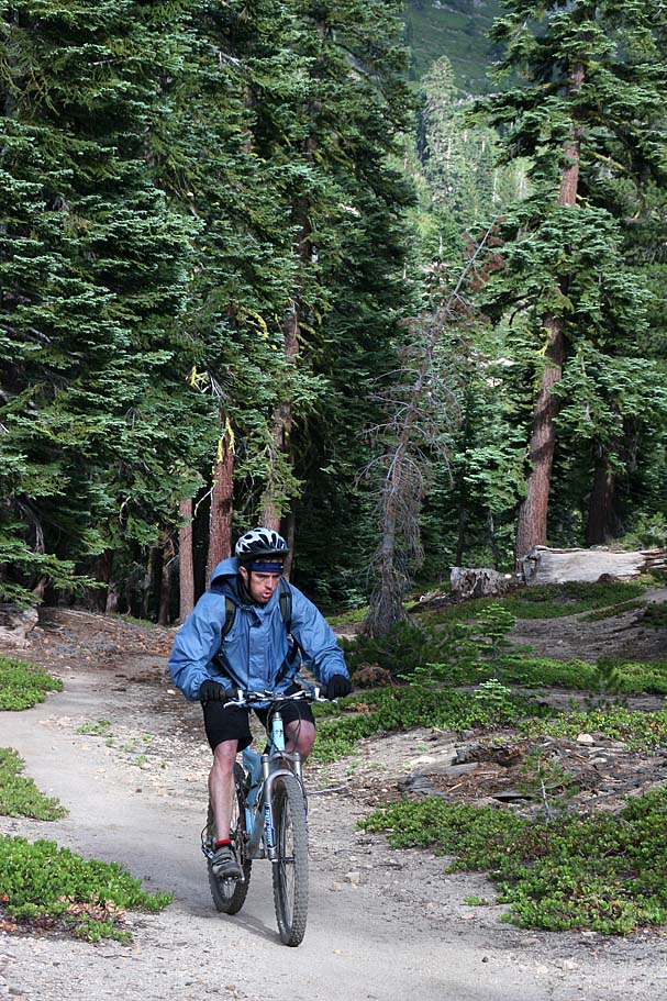
A portion of the Tahoe Rim Trail, the famous Flume trail, and the not much talked about Chimney Beach trail were on the menu for today in Lake Tahoe. This was my second time mountain biking in the Tahoe area, with my first trip being in 2005. This ride was just under 20 miles long and with about 1,000 feet of climbing and 3,000 feet of descent. You will also spend about half of the ride above 8,000 feet so unless you live at this kind of elevation you are going to feel it on the climbs. This is variant of the classic Mt Rose to Spooner Lake shuttle which I have done before. I enjoyed the Chimney Beach trail so much I doubt I will ever do the classic route to Spooner Lake ever again.
TRT - Flume - Chimney Beach Shuttle:


- Chimney Beach Trailhead:

- Mount Rose Tahoe Rim Trail Head:
Video
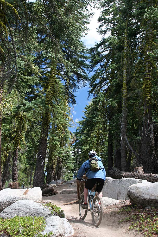
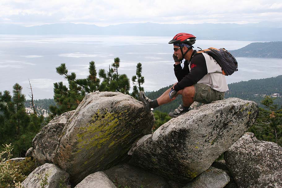
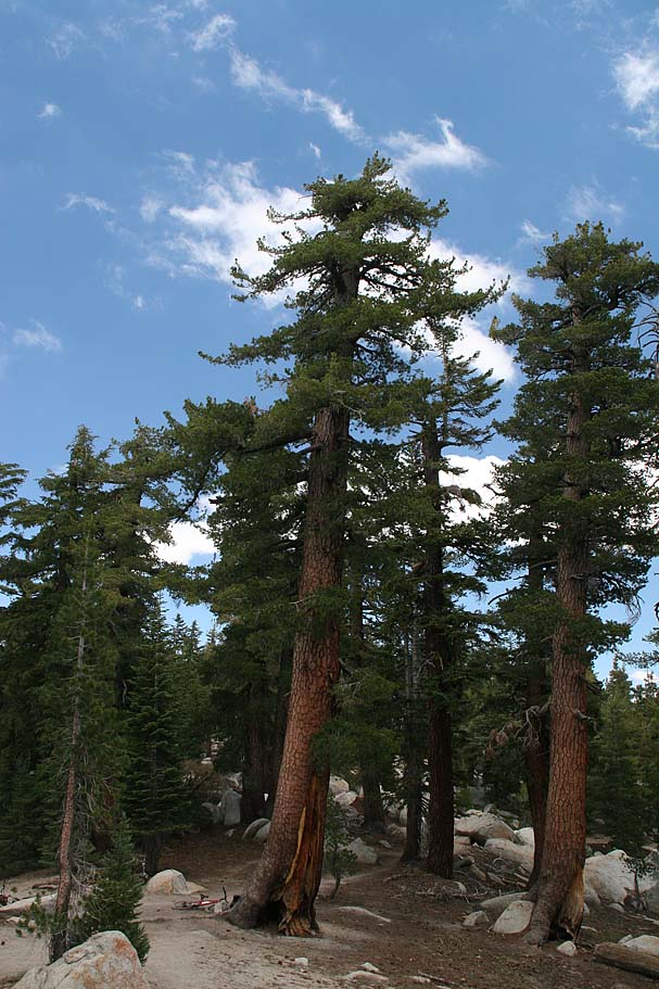
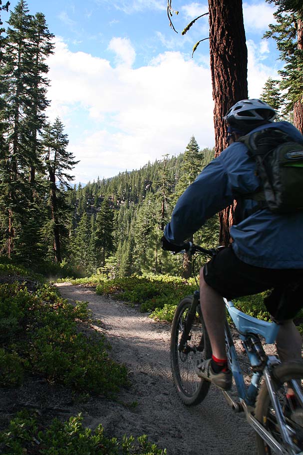
Ride Notes: We started off by dropping a vehicle off at the Chimney Beach parking lot and then heading up to Mount Rose. I remembered the last time I was here, that even in July it was pretty chilly up at 8,600 feet where this ride starts. We were prepared this time and had enough layers to the keep the once again windy chill off until we got warmed up.
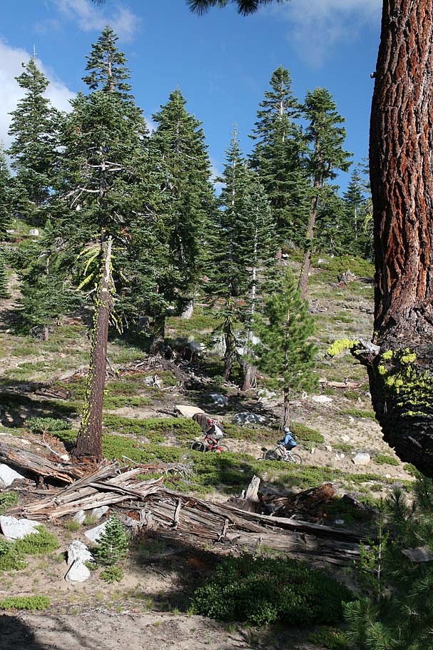
From the trailhead you travel down across Tahoe Meadows before trail turns more to the south and starts climbing. It is pretty well marked and hard to miss. After only about 1.3 miles, the better part of the climbing is over while views of Lake Tahoe come into view. While these views are pretty scenic, you will soon become a scenery snob as the views just keep getting better as this ride goes along.

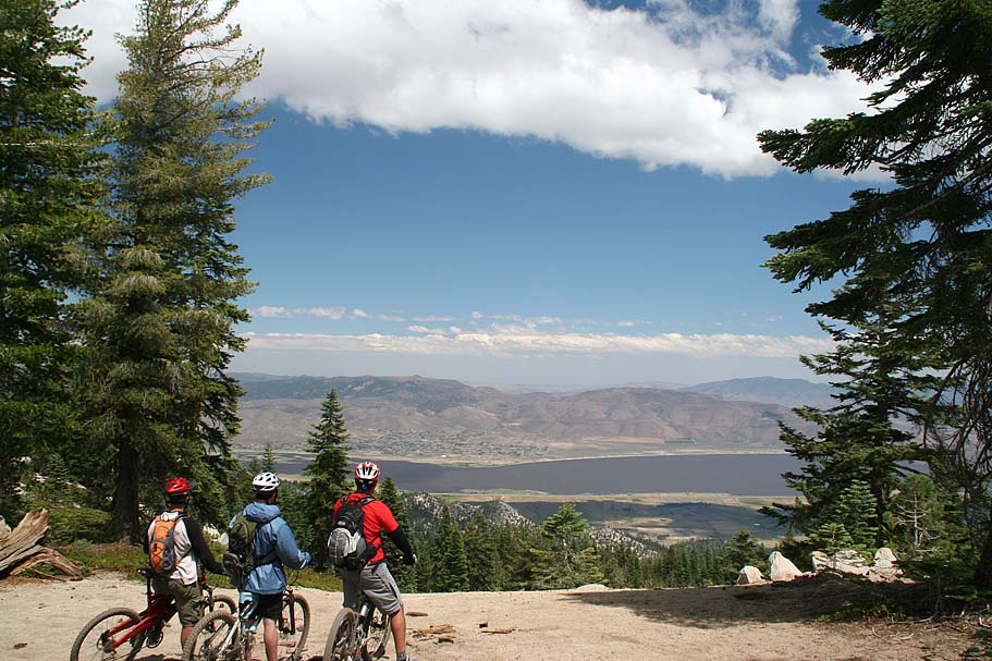
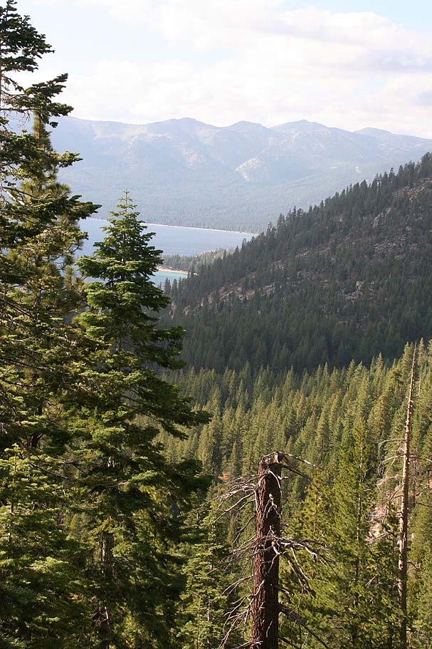
At around the 3 mile mark (TRT-002) the trail starts becoming more of a downhill than before and views of the Washoe valley far below to the east come into view. There are a few spots where in a single motion of your head shows Lake Tahoe to your right and the Washoe valley to your left.
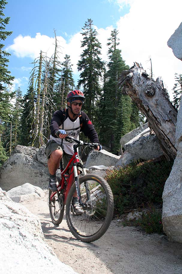
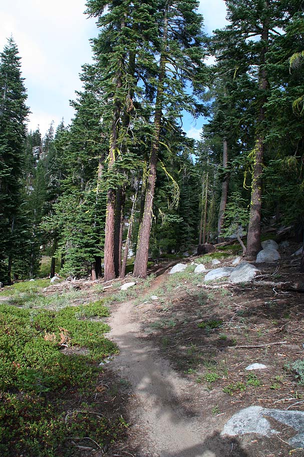
At 8.3 miles you come to the junction of the Tahoe Rim Trail, the Red House Flume and Tunnel Creek dirt road (TRT-003). There are options to do very big rides from here, but for today we went to our right and downhill for .3 mile at picked up the north end of the Flume Trail (FLU-1).
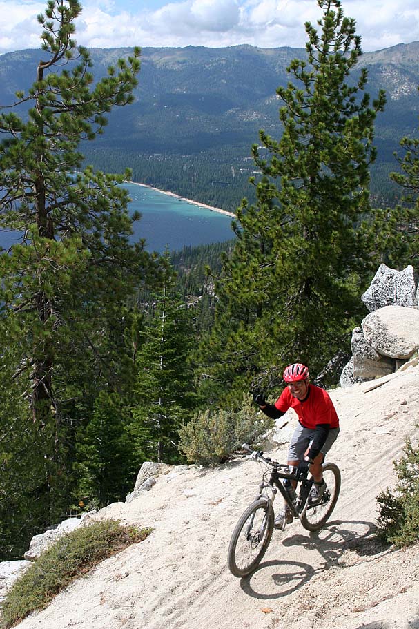
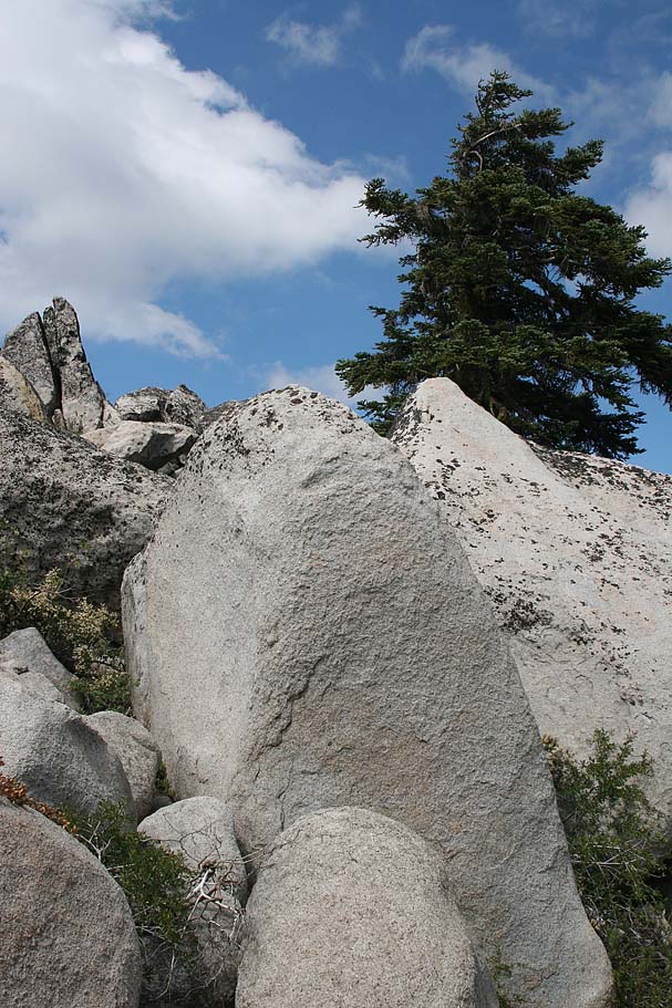
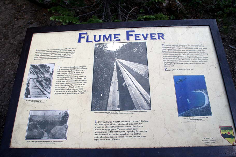
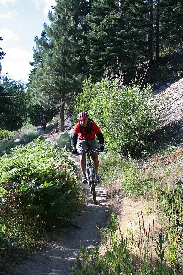
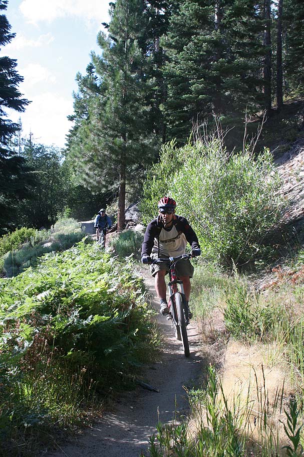
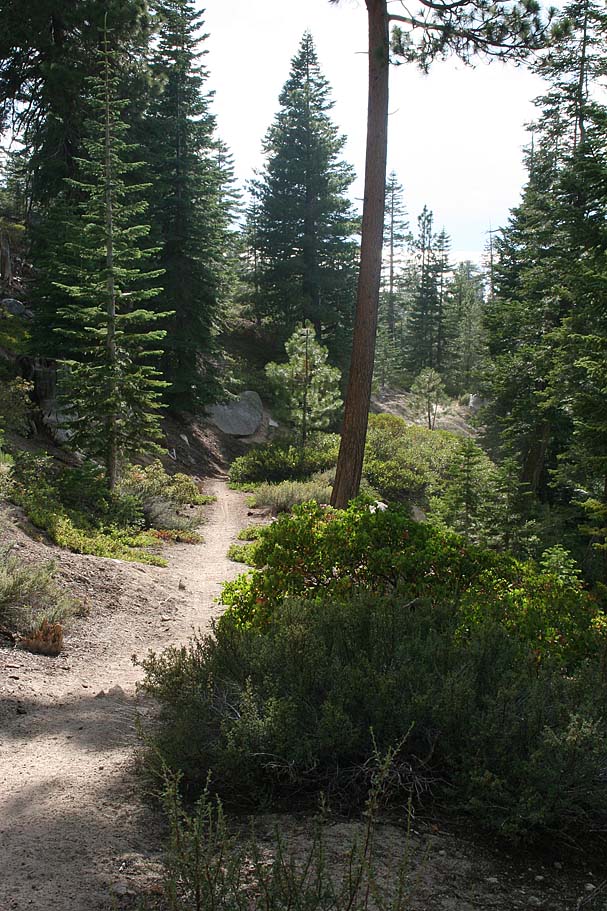
The Flume Trail is one of the prettiest trails I have ever been. Climbing only about 150 feet or so over 4 miles, it is often etched into the side of a steep side slope about 1,600 feet above the lake. You would be a real moron if you just tried to motor through this section of trail. Take your time, stop often and enjoy the views. Here is some history on the Flume Trail.
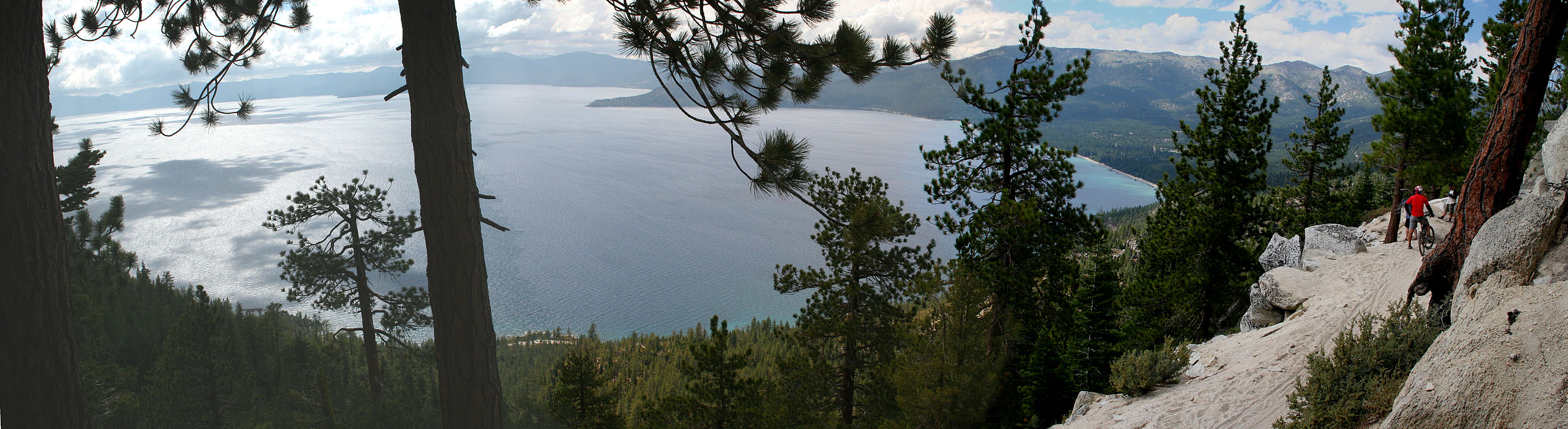
The Flume Trail
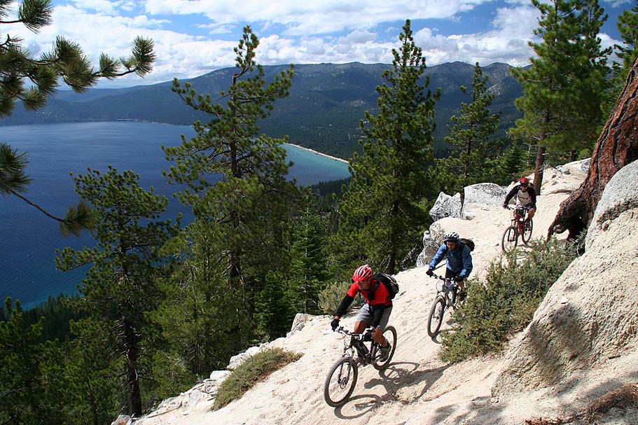
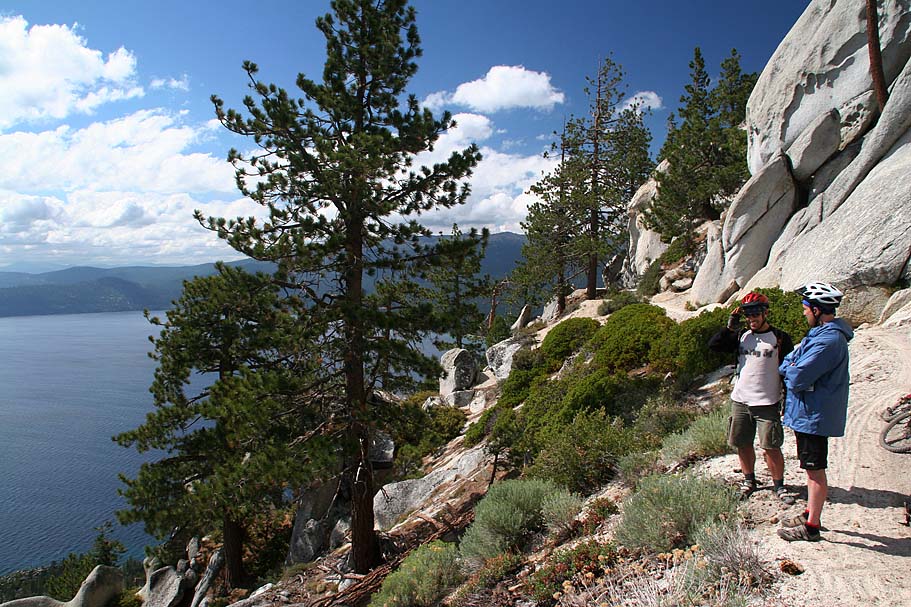
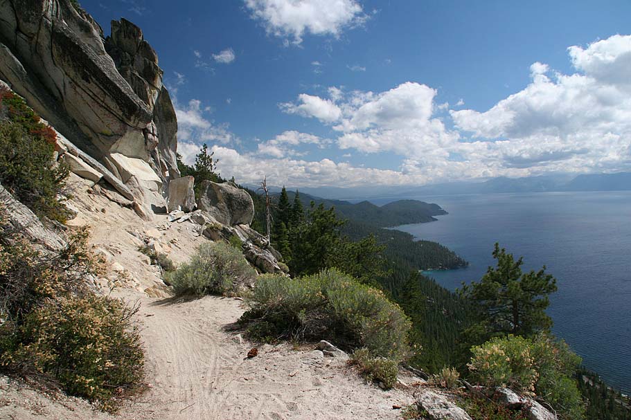
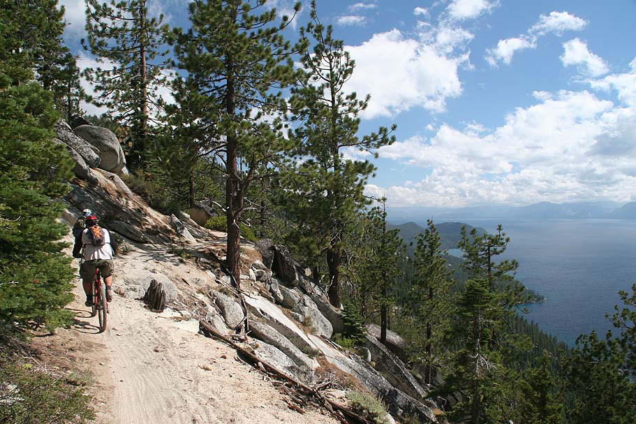
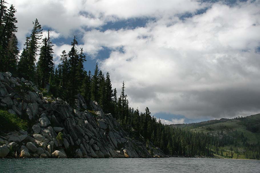
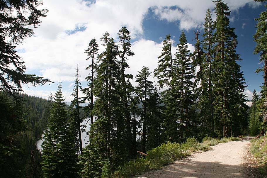
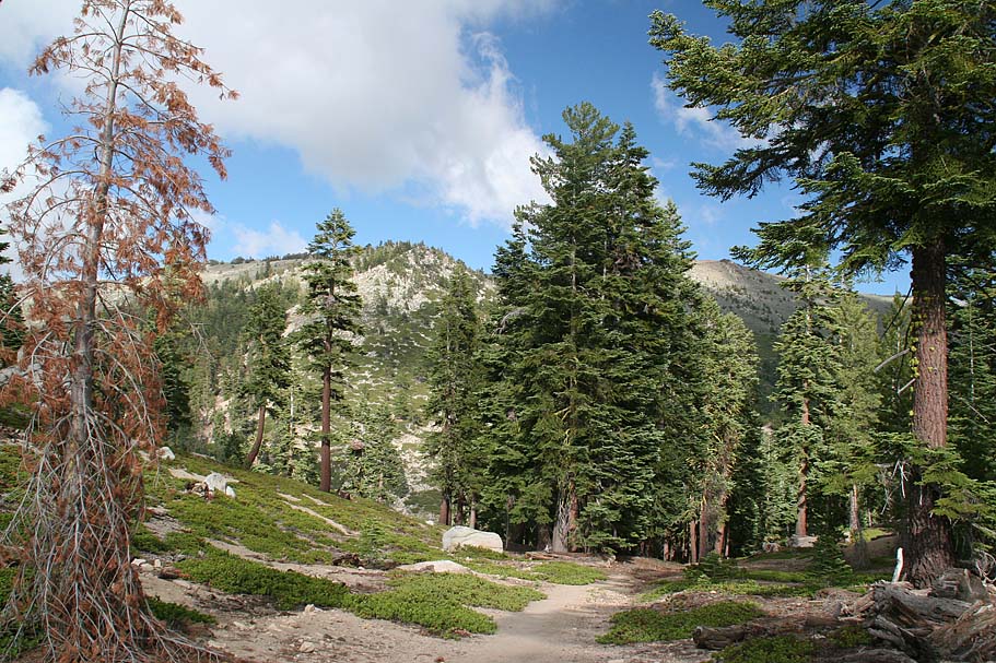
Views from along the Flume Trail
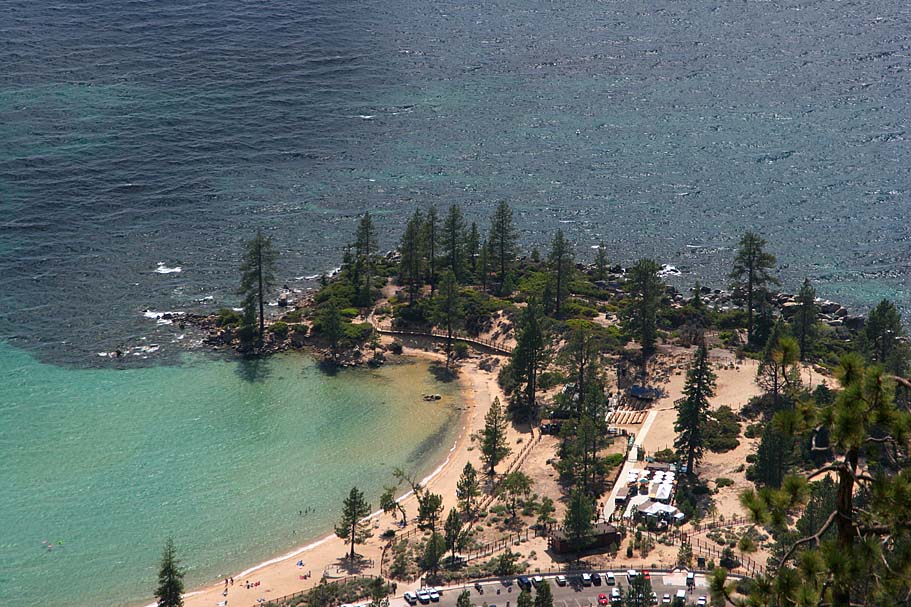
Near the southern end of the flume trail you will cross a very small wood bridge and then navigate a short climb up to Martlett Lake. (FLU-005 12.8 miles)
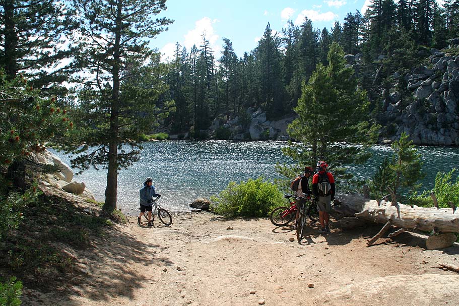
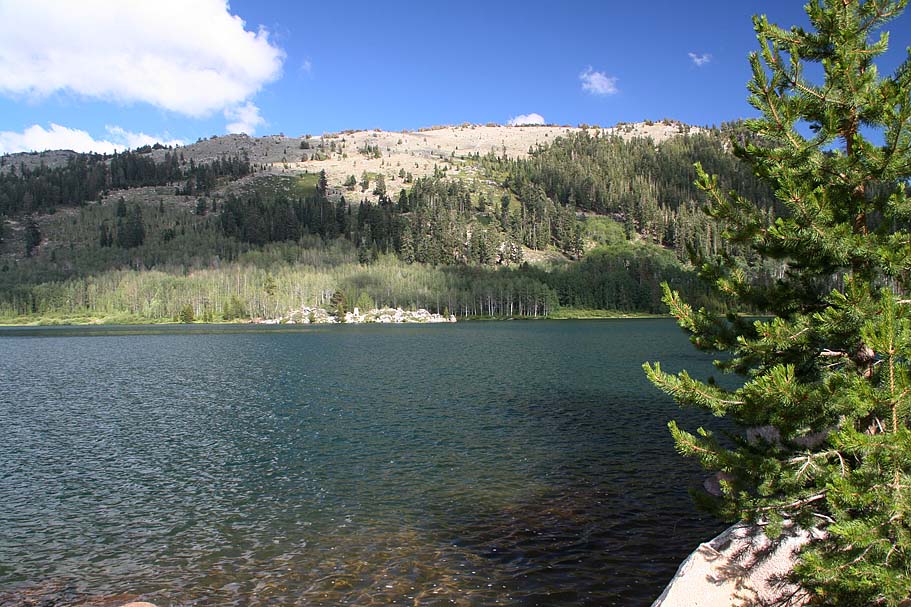


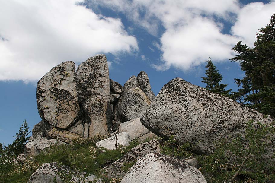
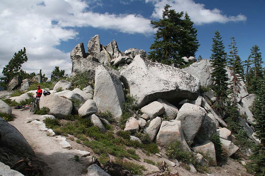
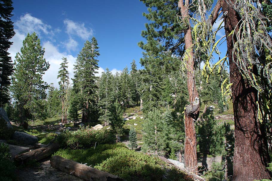
Views around Martlett Lake
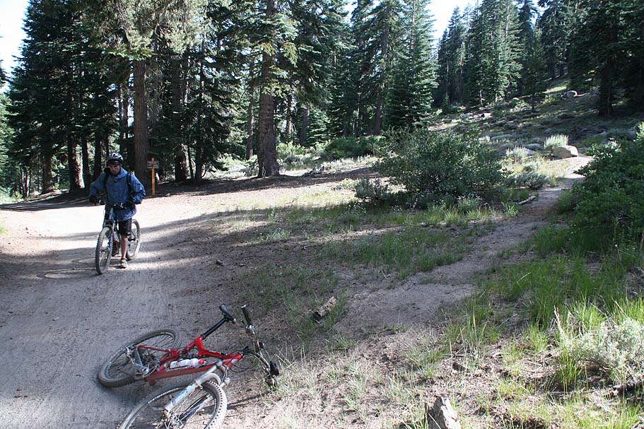
From Martlett Lake you will take a doubletrack down the west side of the lake and around to the junction with Holbert Road (FLU-006). From here you will turn right (South) and climb up through a grove of aspens and then up to a saddle (CHB-1). Your mileage should be 15 miles at this point.


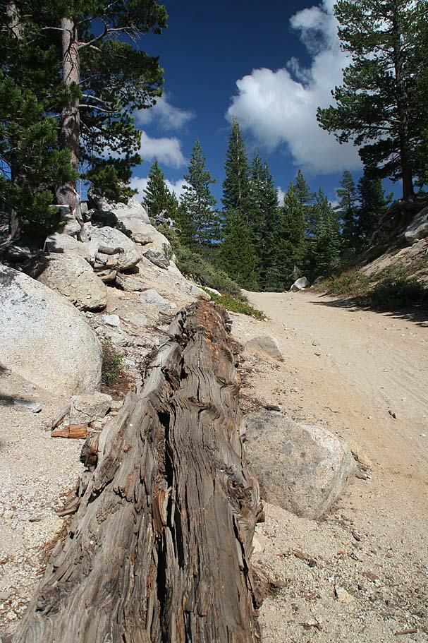
The crappy picture to the left shows the trail you want to take to get on the Chimney Beach trail. The trail is unsigned and located about 40 yards past the large map kiosk at the top of the saddle. This trail will go about 40 feet to a a 4-way intersection of singletracks. To your left and right is what I believe is the the Martlett to Spooner Lake singletrack which is off-limits to bikes.

Going straight through this intersection you will see an old double track that is nearly reclaimed singletrack bending to your right and going uphill. It looks steep from this location and you can see it goes up the hill and then bends around to the north side of the hill. Take this trail and grunt up the hill which is fairly steep. Just as you bend around to the north side of the hill it flattens out.
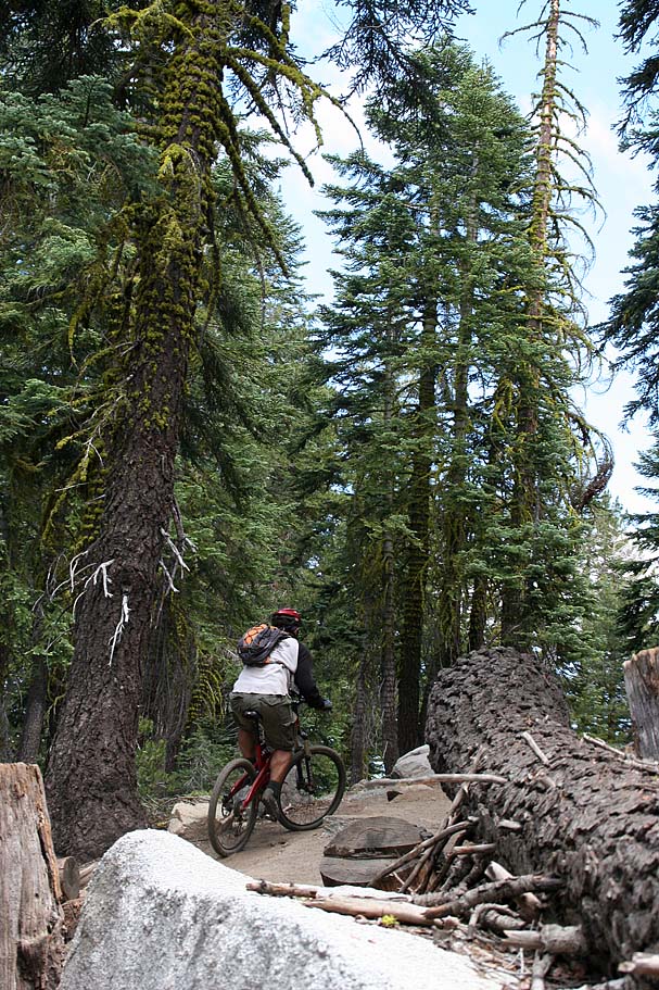
Right in this area you will find a single track going off downhill to your right in a northwestern direction as the old double track continues to the west. The singletrack is the way you want to go. The stickers on the trail marker were falling off on this day so it read "AIL". (Around Point A on the map.)
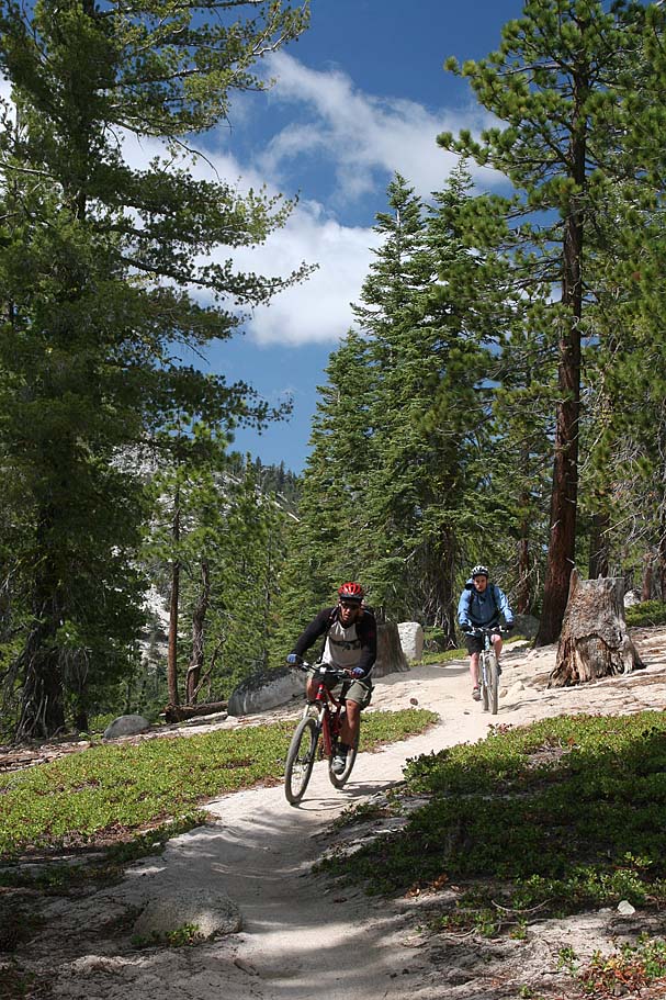
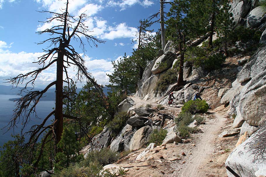
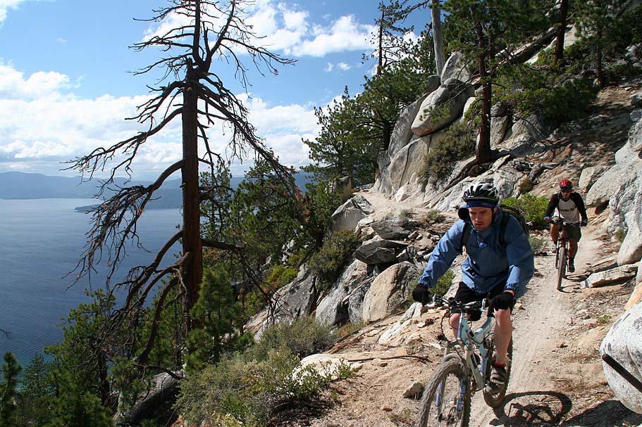
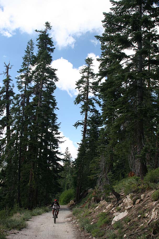
Taking this trail was simply bliss. It sees no where near the traffic of the Rim and Flume trails and is much narrower. While is does have a few incidental climbs and flat spots for the most part it is a rip fest singletrack dumping about 2,000 feet in 3.75 miles on its way down to the Chimney Beach parking lot and our waiting vehicle. The trail requires some good bike handling skills due to the sometime sandy nature of the trails here combined with the steep grade.

Shots from along the Chimney Beach Trail
That evening we opted to hit up a Mexican Restaurant on our way out of the Tahoe area. Like most of my Mountain Biking trips, the stories always sound better with Mexican food and cold beer. This would be my last night with the tour. The last riding day of the tour was tomorrow in Downieville before heading back to the Bay Area. I however was meeting one of my riding buds in Downieville for an extended weekend there.