
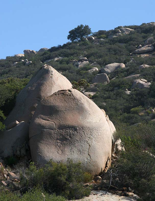
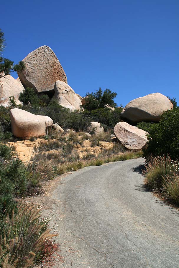
Mount Woodson
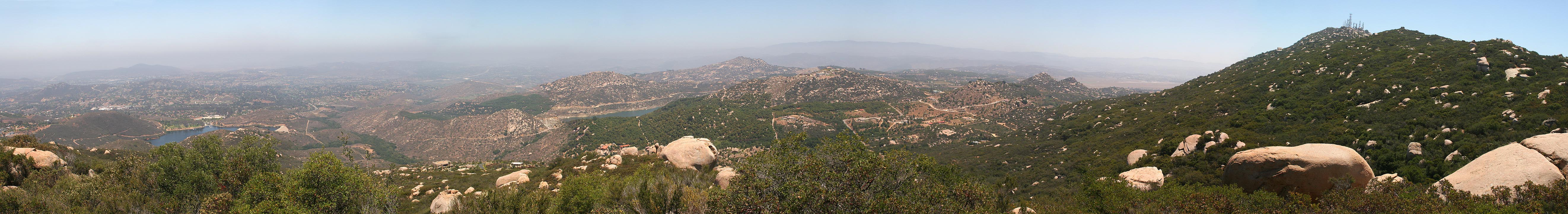
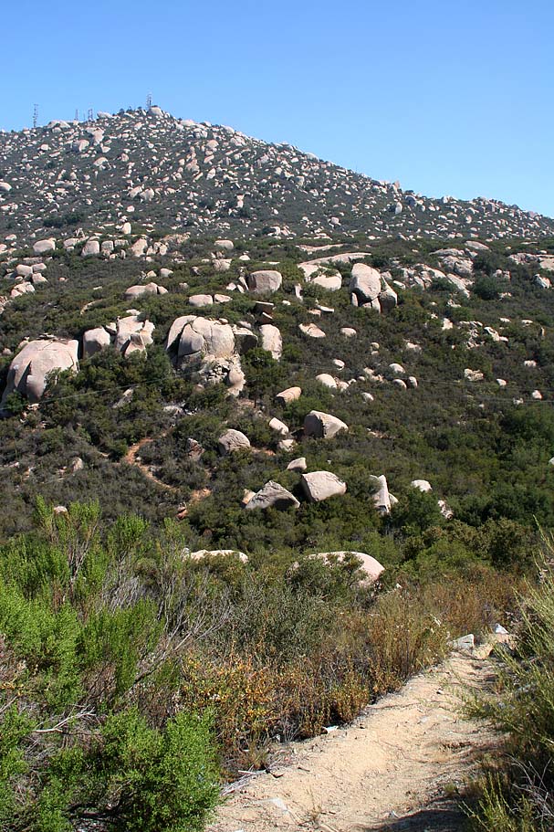
If you feel like you and your granny ring or top cog have not had much quality time together lately, then head out to Mt Woodson and get reacquainted. The Mount Woodson area is a pretty cool swath of rugged landscape located in the northeast corner of the city of Poway north of San Diego and just south of Ramona. Most of the mountain is covered with large boulders and chaparral with some some sizable trees and groves of oaks as well. You really need to get on the mountain to truly appreciate the word "large" in regards to the boulders. I have had apartments that were smaller than some of these monstrous chunks of the planet. The trails around and on Mount Woodson are often quite steep and technical enough to make this an advanced level ride.
Hazards: There are some spots were an over-the-bars experience could net you some sizable air time to a very rocky landing. The place can be absolutely blazing hot during the summer. This is an extremely popular place with hikers so please remember to use proper trail etiquette. I also highly recommend you have a bike bell on your bike while on the Mt Woodson trail. Because of the tight corners and often short sight lines, use the kind that will make noise on it's own vice you having to ding it. The weekends see the most hiker traffic so a weekday ride would be best.
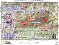
Directions: There are four locations you could park to do this ride. It all depends what route you wish to do based on the descriptions below:
- Lake Poway- From Interstate 15, exit Rancho Bernardo Road, travel east 4 miles to Lake Poway Road, turn left and follow to the park entrance gate. The address is 14644 Lake Poway Road, Poway, California 92064.
- CDF Fire Station - From the San Diego area take Interstate 15, north about 15 miles to the Scripps Poway Parkway exit. Turn right (east) and travel 8.6 miles to highway 67. Turn left (north) onto highway 67 heading into Ramona. You will see Mt Woodson on your left (It is the big rocky mountain with a bunch of antennas on top) as you drive north into Ramona. About half a mile after you crest the saddle north of Mt Woodson, look for Hedy Drive on your right and the California Division of Forestry fire station on the left. Park on the dirt shoulder somewhere near here on either side of the road. The trailhead is located right at the entrance to the fire station.
- Archie Moore Road and Rancho De La Angel - Follow the directions above, but continue on past the CDF Fire Station for maybe half a mile (when the road bends to the right) then turn left onto Archie Moore Road. Rancho De La Angel is about a 1/4th a mile up the road on your right. There is a dirt pull out area on the corner.
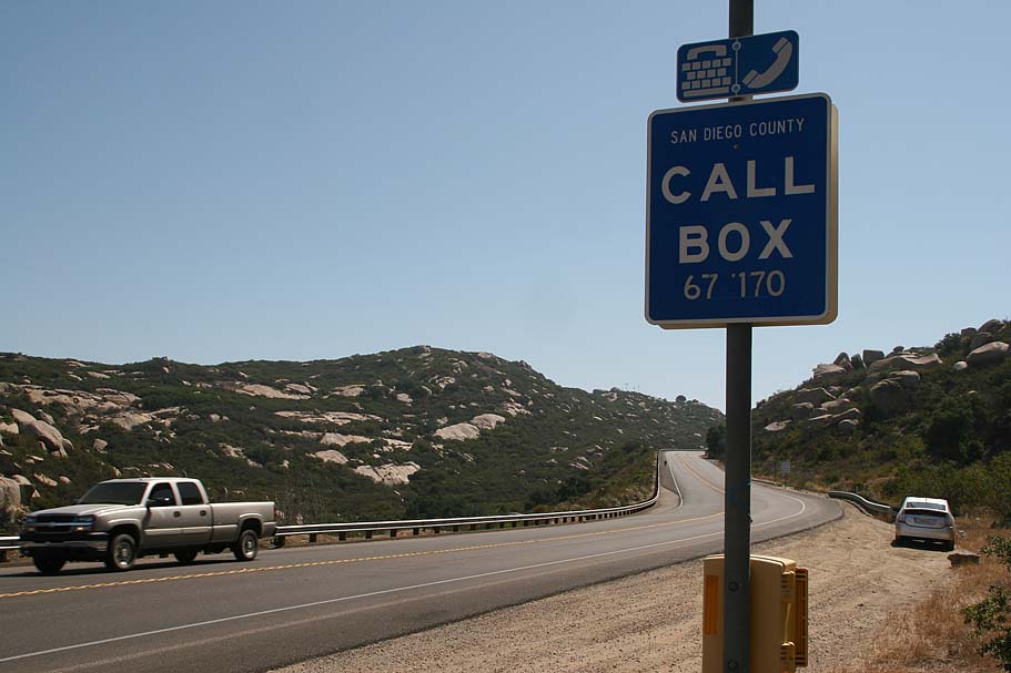
- Highway 67 pulloff near callbox 67-170 - From the Sam Diego area take Interstate 15, north about 15 miles to the Scripps Poway Parkway exit. Turn right (east) and travel 8.6 miles to highway 67. Turn left (north) onto highway 67 heading towards Ramona. After approximately 2 miles you will see a call box on your right. There is a dirt pull out area just beyond the call box that you will use. (Use only if you are going to brave the Warren Canyon Trail)

Video
Ride Description: There are five primary trails in this system and they can be done in different combinations. I am first going to describe each trail then I'll give some route recommendations.
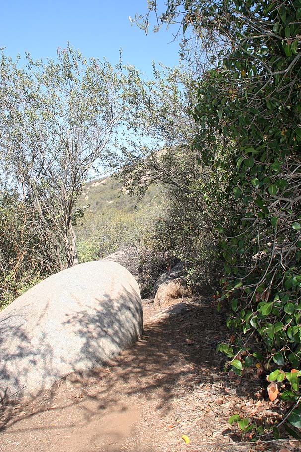
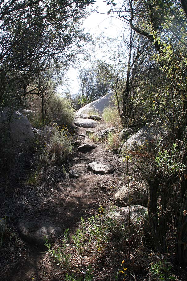
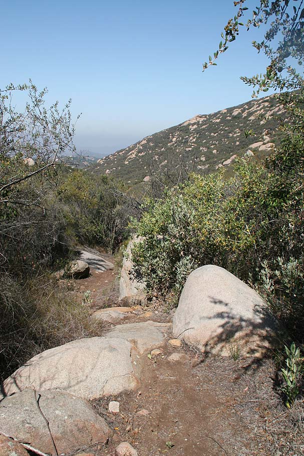
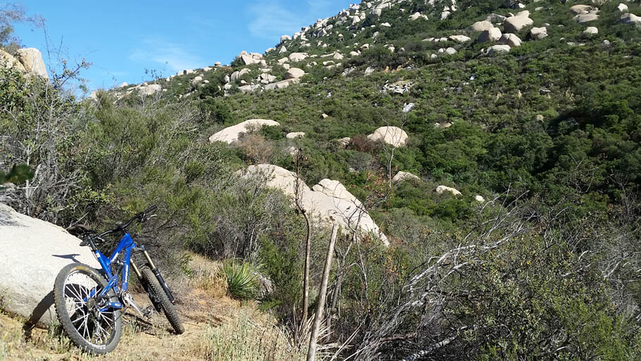
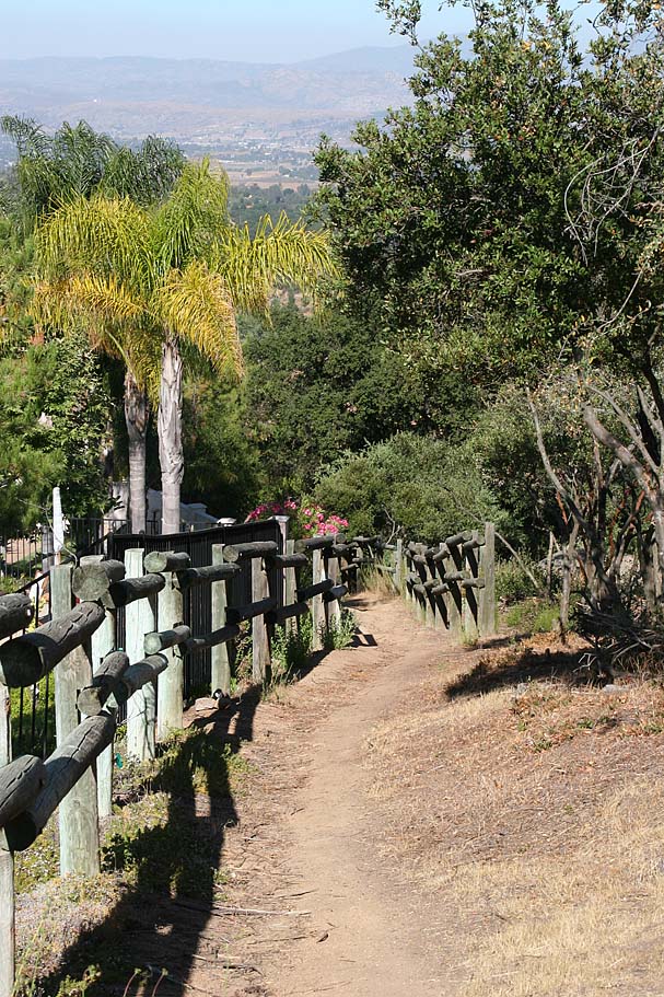
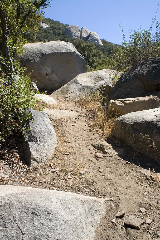
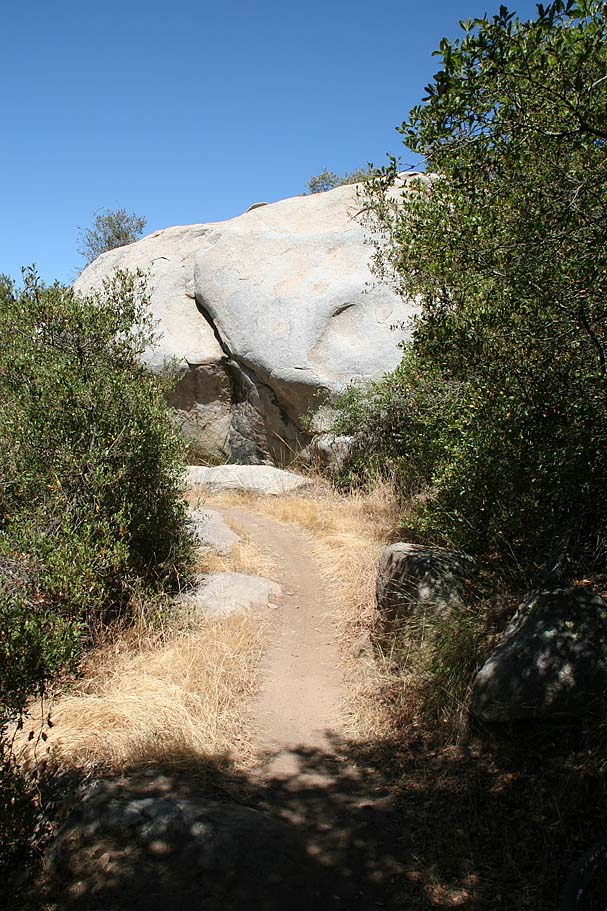
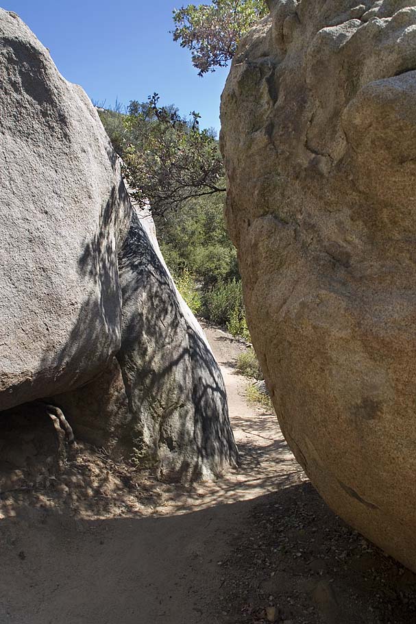
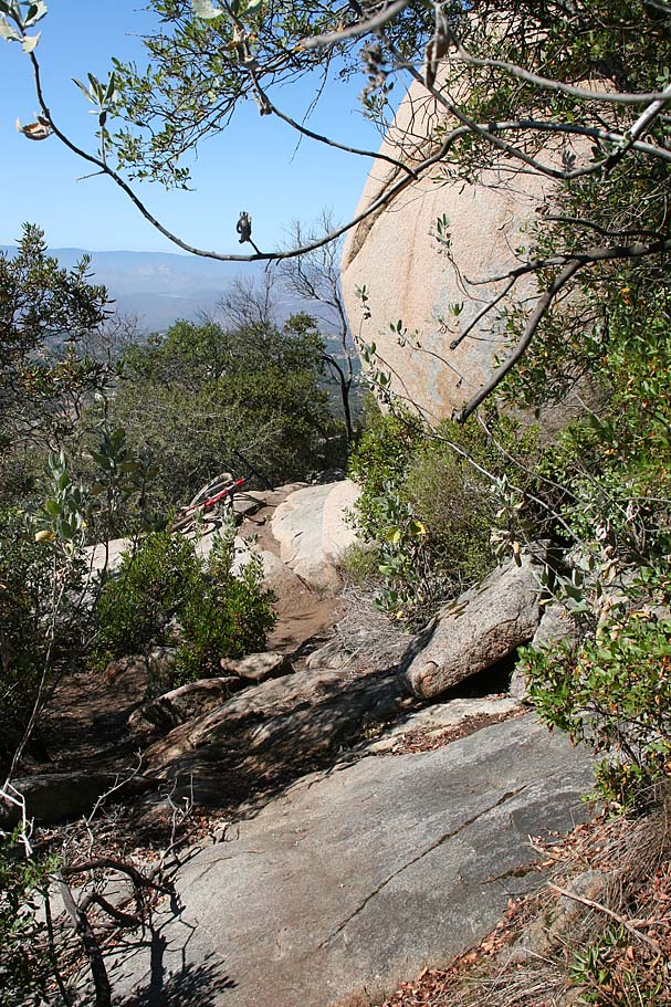
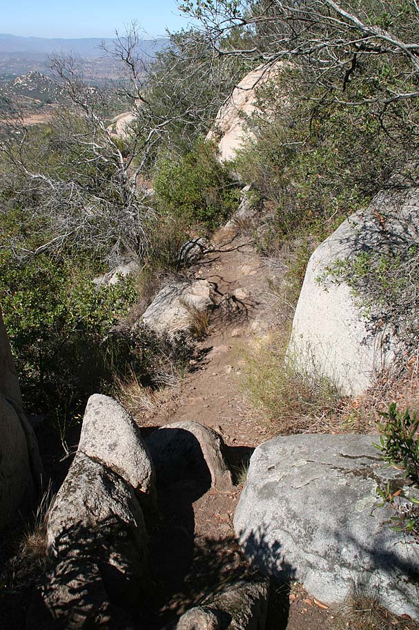
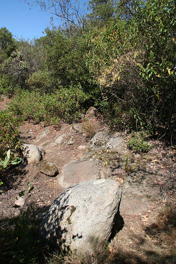
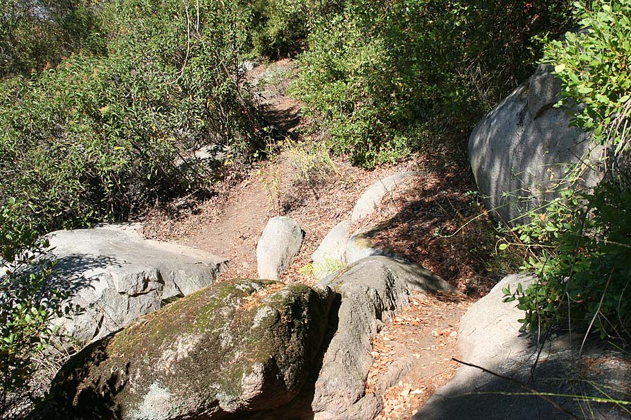
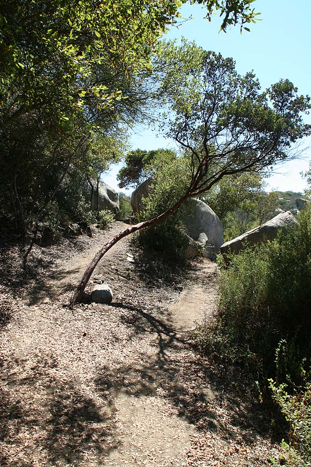
Mt WoodsonTrail
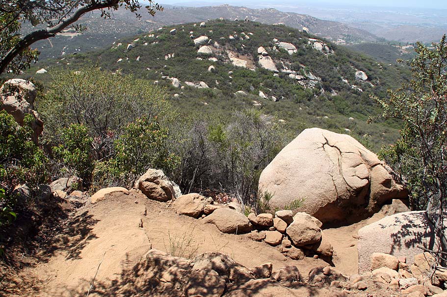
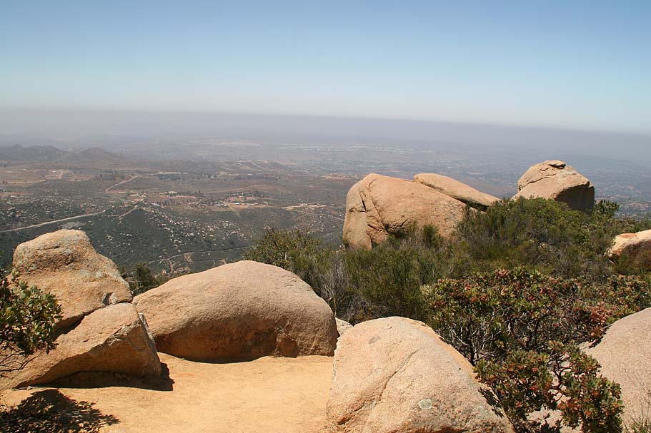
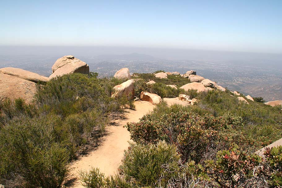
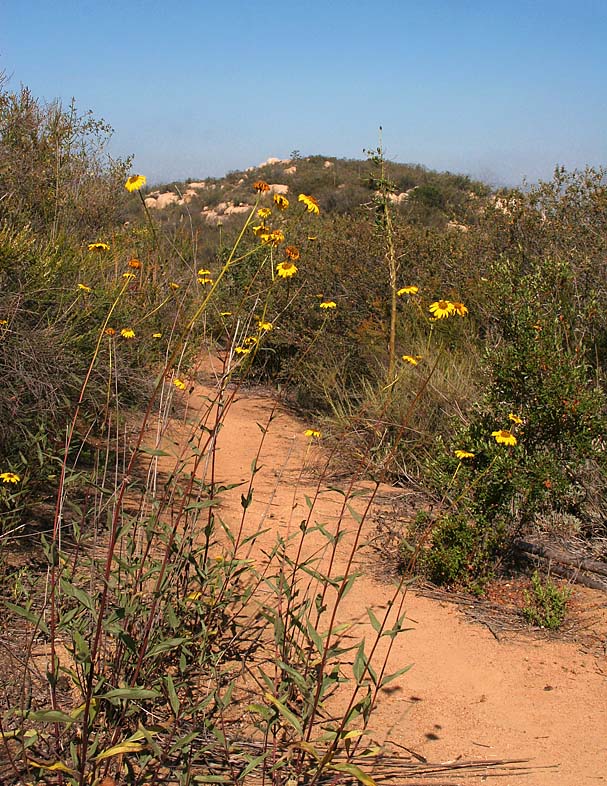
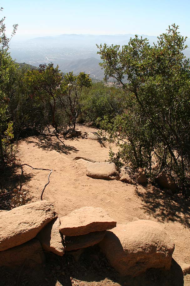
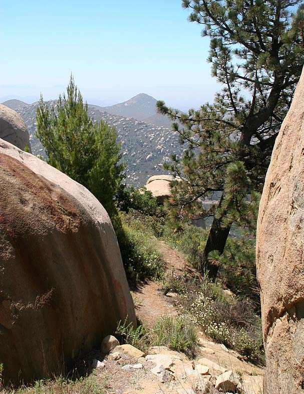
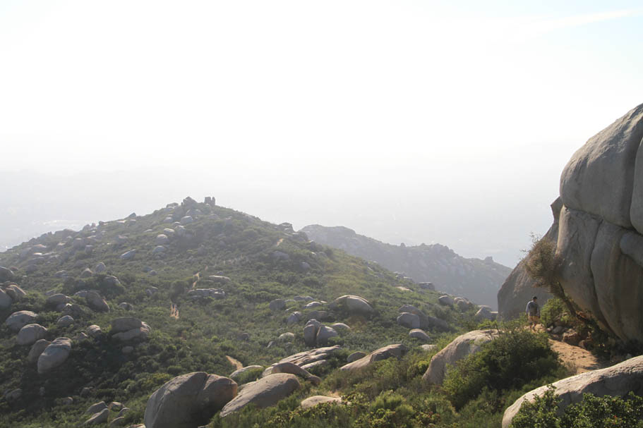
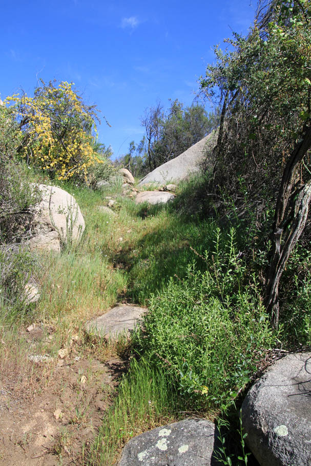
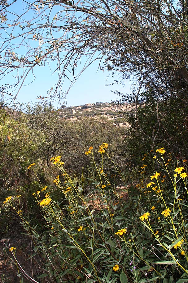
A few more pictures from along the Mount Woodson trail
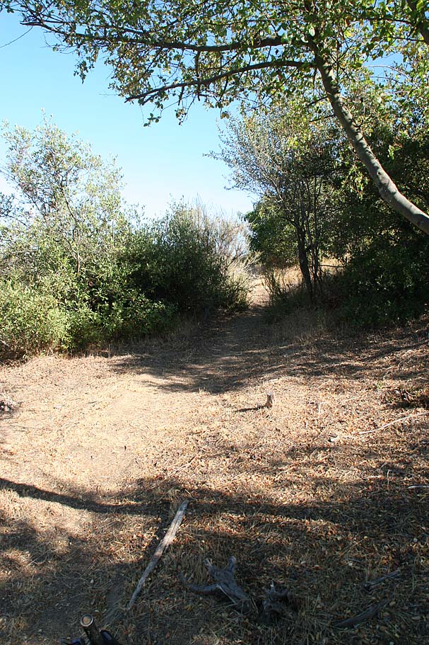
Warren Canyon Trail
2022 Update: The Warren Canyon Trail has been long neglected by the City of Poway and it is in really bad shape. My description here was first done in 2007 and while I will leave it as is for now, I can no longer even suggest that you go check it out. I'll do another update if/when the trail gets reworked.
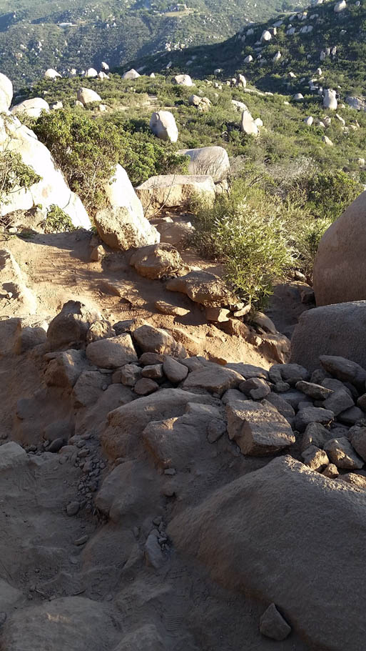
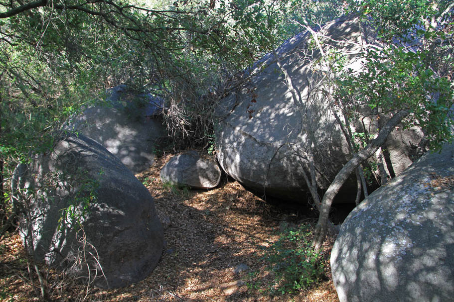
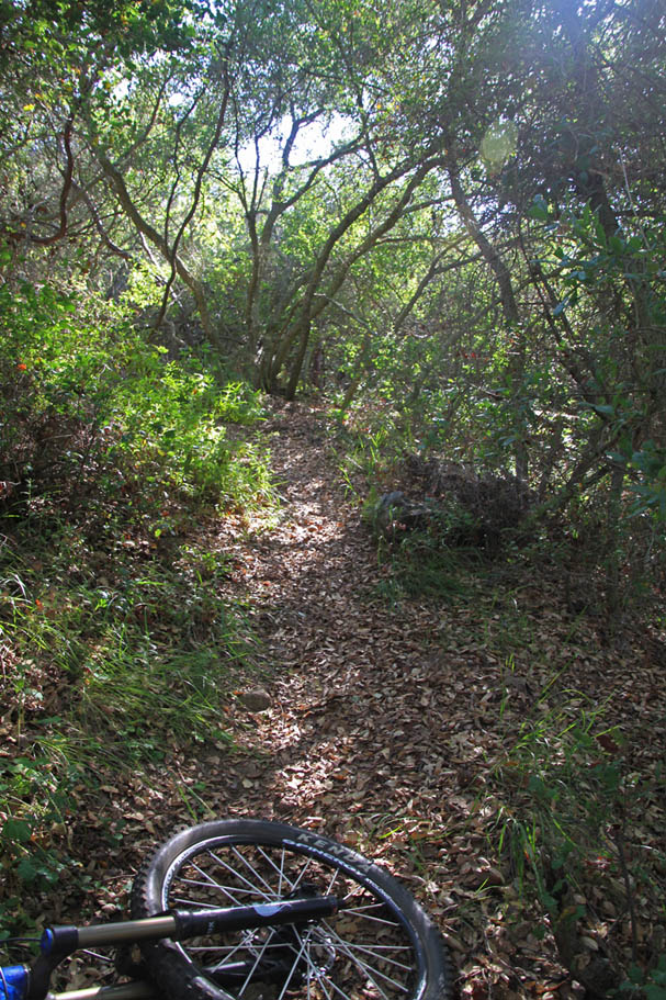
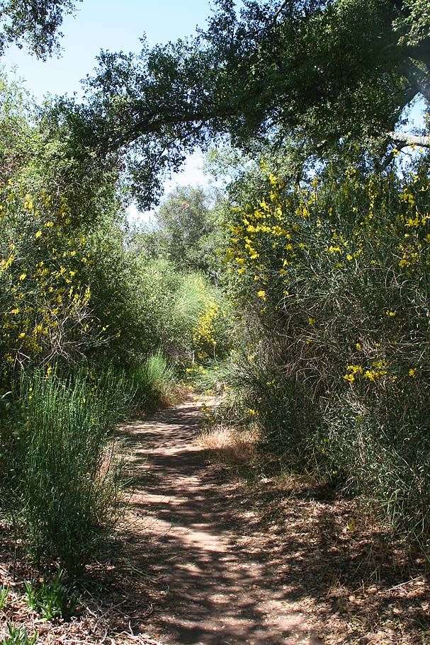
The Warren Canyon trail packs quite a bit of punch. The start of the trail at the junction of the Mt Woodson trail to it's terminus at highway 67 are at the same elevation and separated by 2.3 miles of rugged single track. However, over the course of that 2.3 miles you will climb and descend around 650 feet (both up and down). None of the climbs or descents or long at all but they are steep. I spent most of my time either nearly dragging my shorts on the rear wheel or having my chin inches above my handlebars. I loved this bit of trail as it sees little traffic compared to the Mt Woodson trail and it weaved around some really large boulders. The trail had much more of a backwoods feel to than I expected.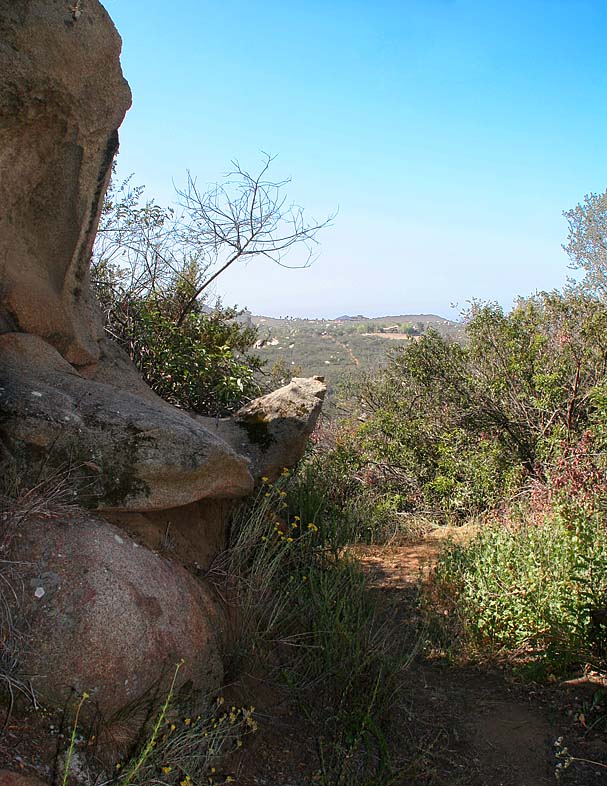
Pictures from along the trail
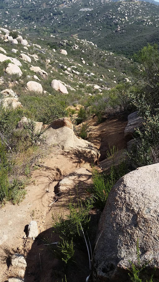
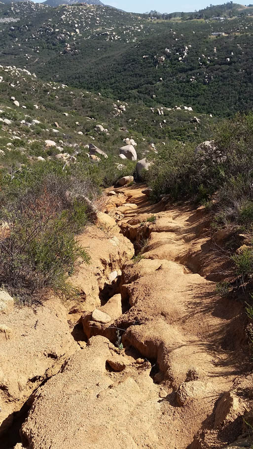
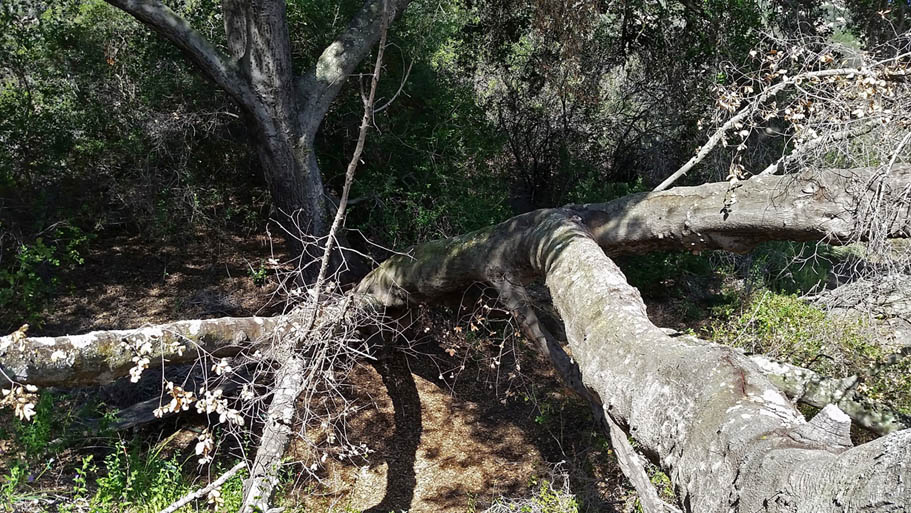
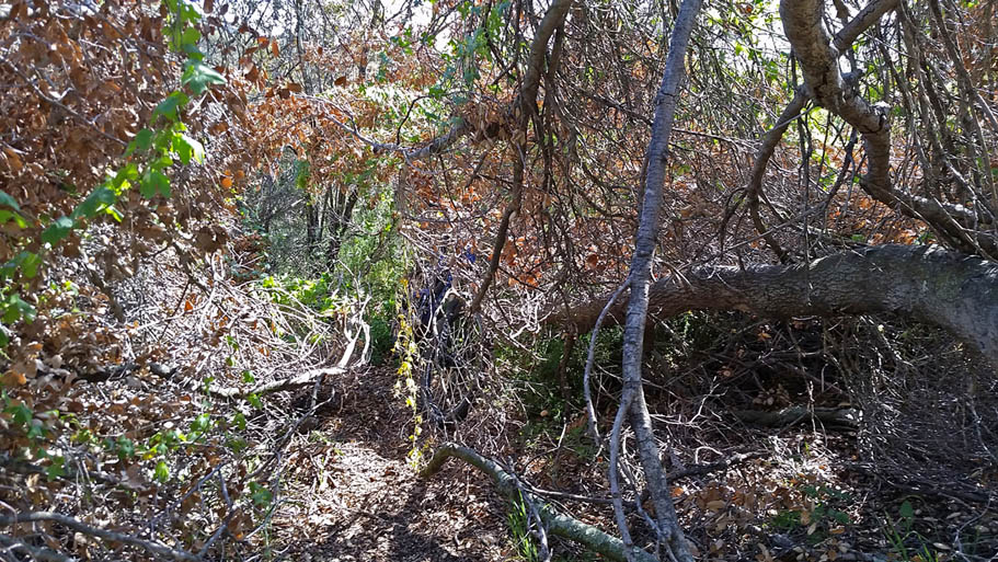
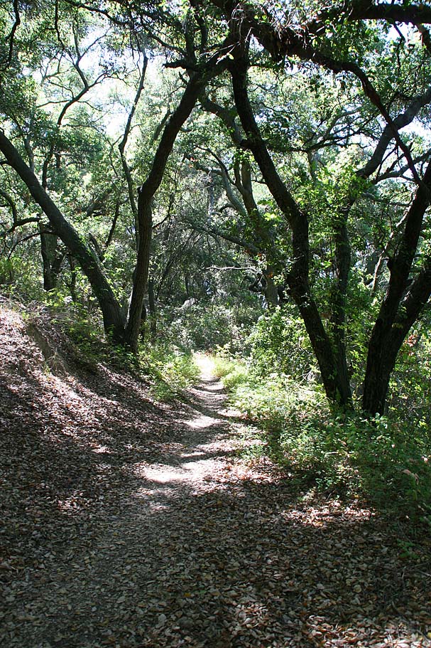
Some pictures from along the Warren Canyon trail in 2015. The west end of the trail is in pretty rough shape and is highly rutted. There was also one large tree that had fallen over the tree that you will have scramble through.
Despite the extra effort and hike-a-bike required in spots, I still consider the Warren Canyon Trail a viable option as it is the path less traveled.
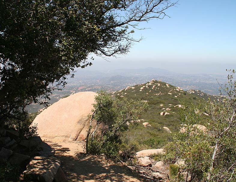
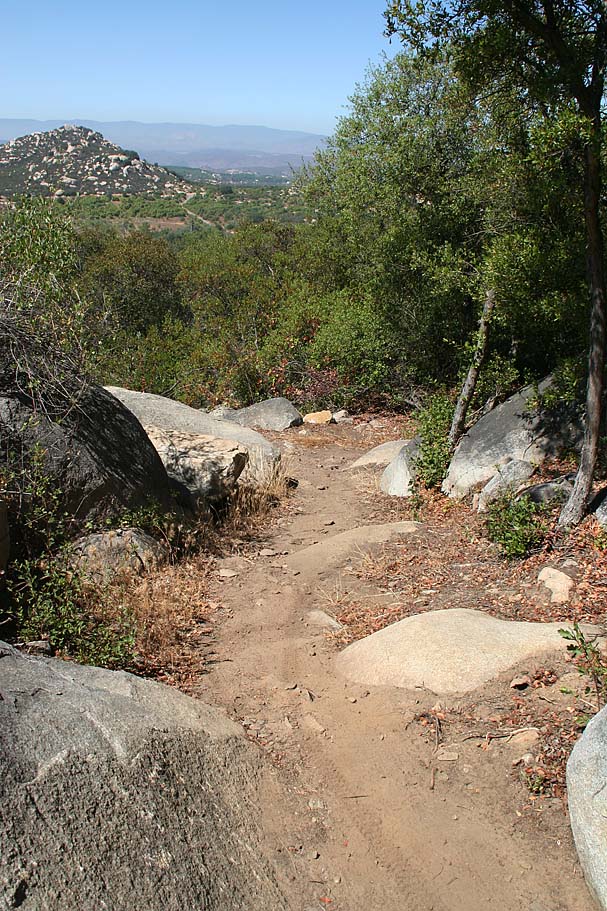
Mount Woodson Service Road
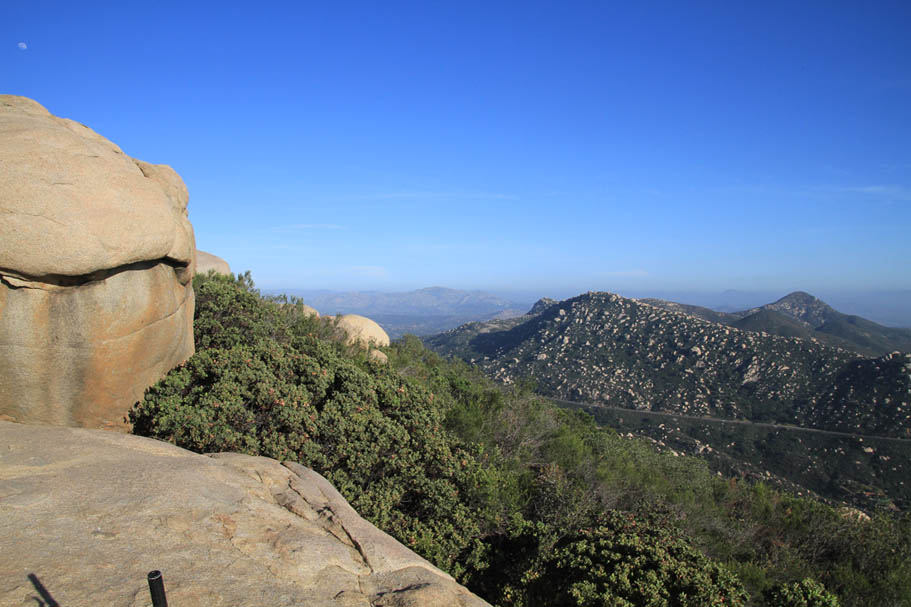
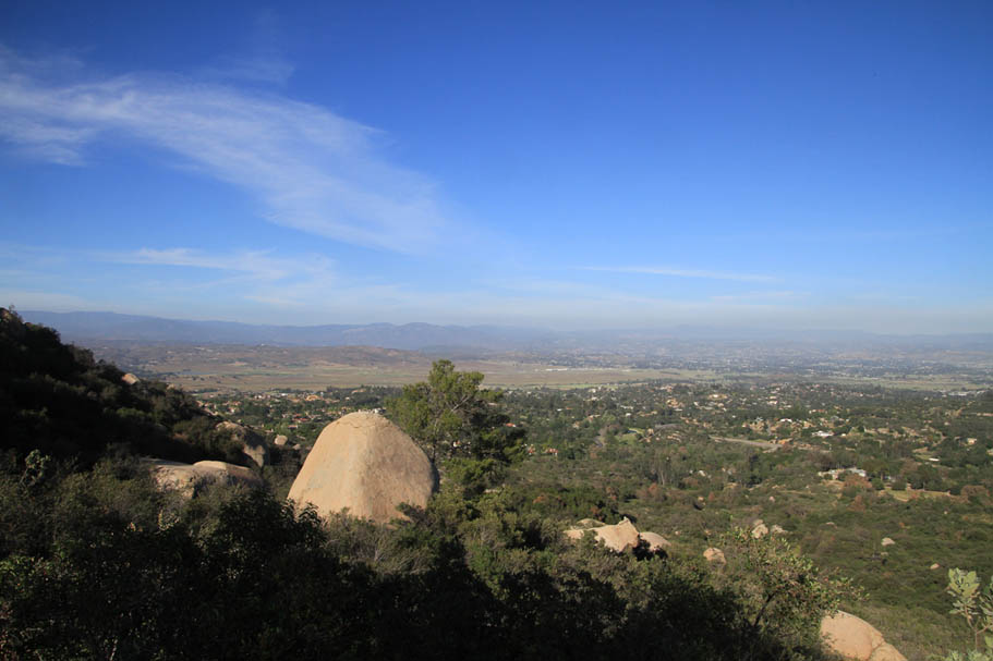
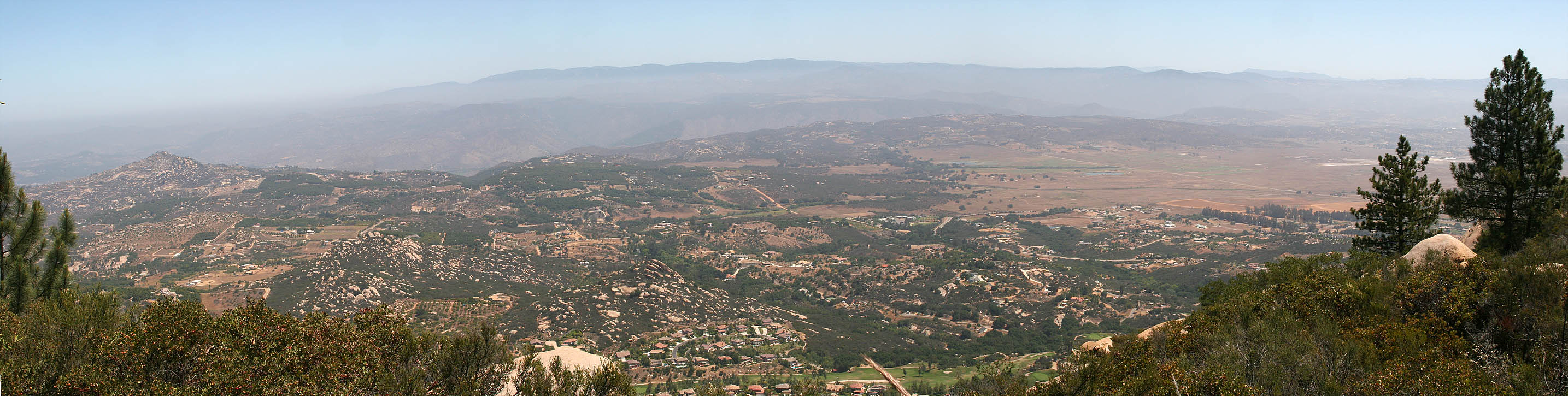 The view looking north on the Ramona and Highland Valley area from the
service road near the peak.
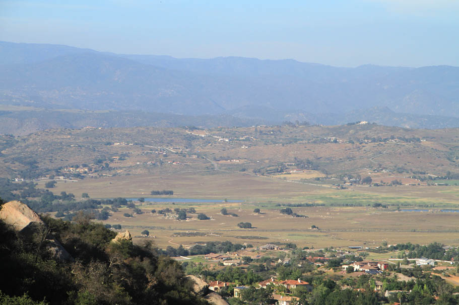
The view looking north on the Ramona and Highland Valley area from the
service road near the peak. 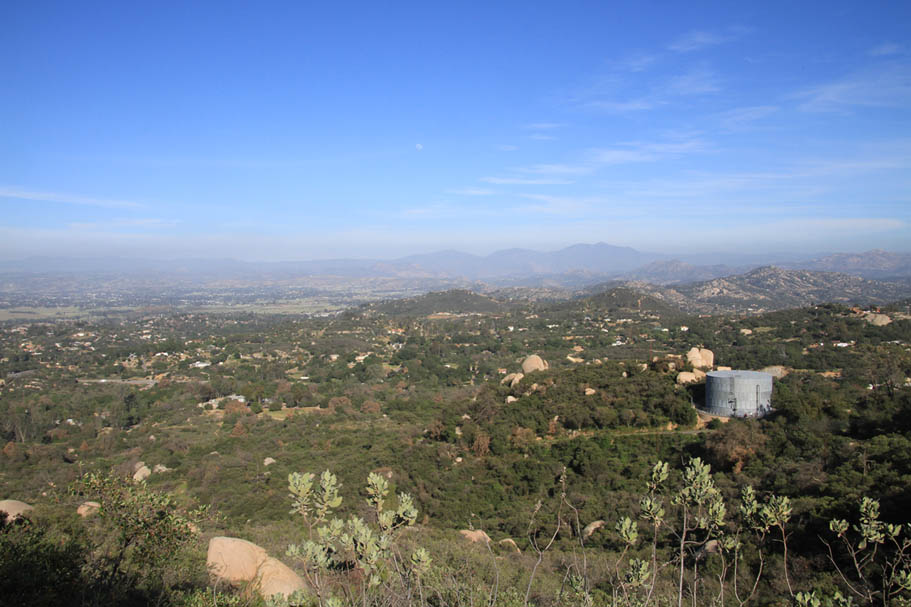
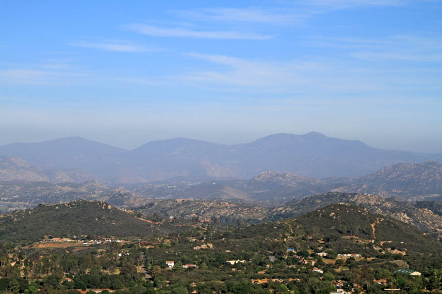
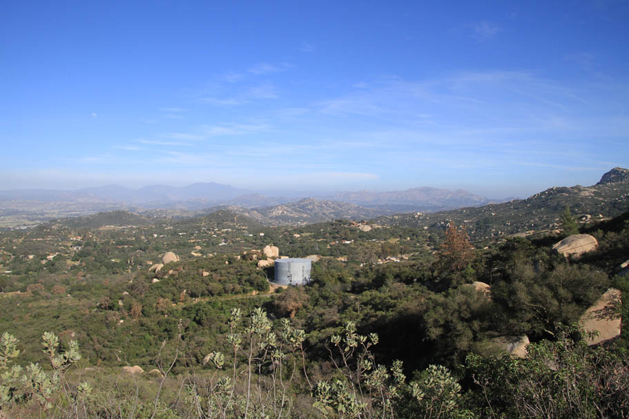
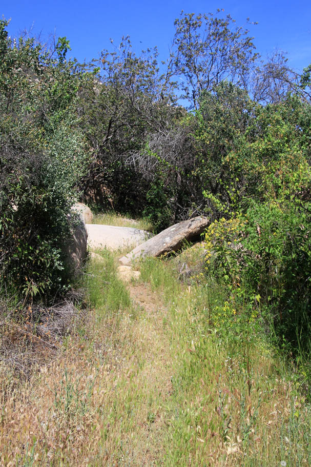
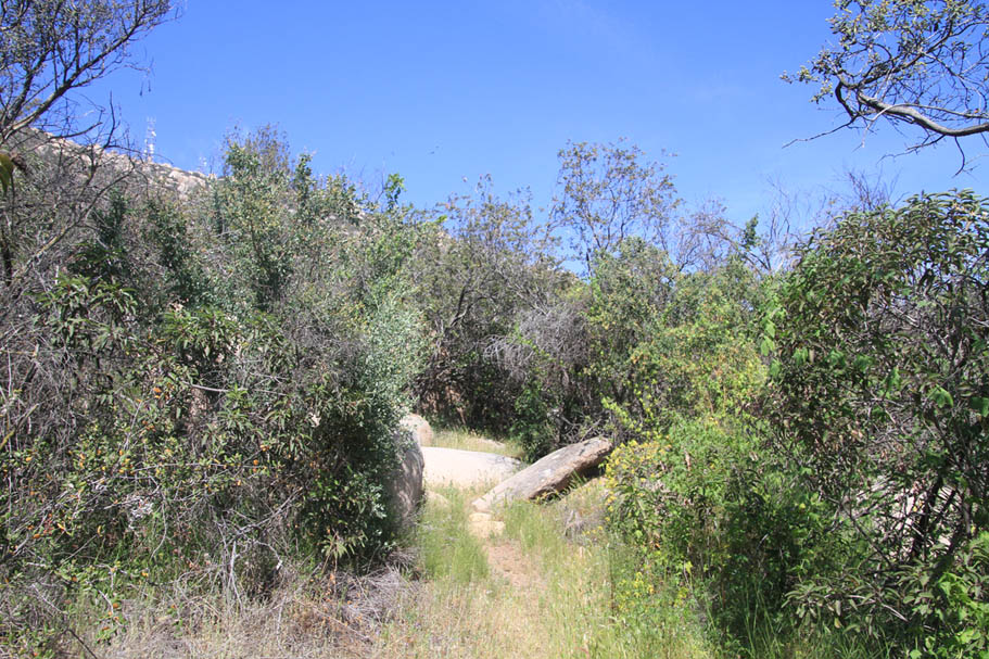
Some views from the access road climb in March of 2015
Fry-Koegle Trail
Old Fry-Koegle Trail
East Side Social Trails
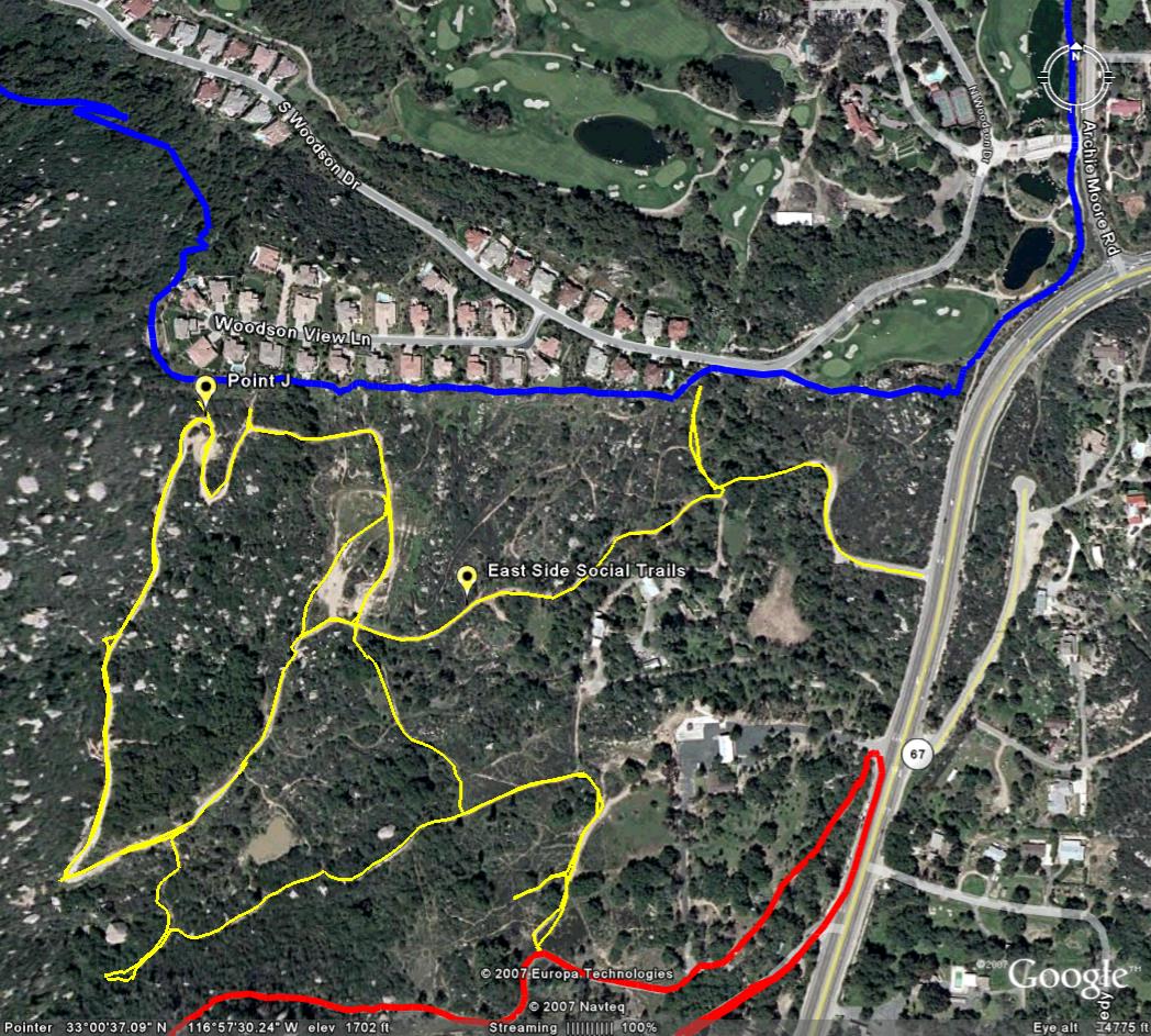
Let me start off my saying that I try to avoid putting trails on my site that are less than legit as it has gotten me some eNastygrams in the past. In this case I think these trails are worth mentioning as I believe they reduce potential user-resident conflicts. The Fry-Koegle trail between Archie Moore road and Point J goes right along the see-through backyard fences of numerous property owners. This section is also a fairly steep section. I felt a little weird riding very slowly (climbing, grunting, and wheezing) almost in someone's backyard. The trail usage/wear indicates I am not the only one. To the left is an aerial shot of the area. There is a network of fire roads and single tracks shown in yellow (There are more trails than what I have mapped). The Fry-Koegle trail is shown in blue and the service road up to the peak is shown in red. Since I do not know the status of these trails I'm calling them social trails. One thing is for certain, these trails are seeing more traffic than the Fry-Koegle trail along the homes. At Point J, there is a well used connector between these social trails and the Fry Koegle trail. My assessment is that the residents and routine trail users of this area prefer to stay away from one another's backyards and are using these social trails and the connector to bypass all but a couple of backyards. You can access this network off of the service road or via an unmarked paved road between the CDF station and Archie Moore road. If you know the real story, or you would like to share your opinion about this network please contact me.
Route Descriptions
Now that I have described some of the trails here are a few recommended routes. GPX files and Trailforks links above. Points described here are from my PDF map.
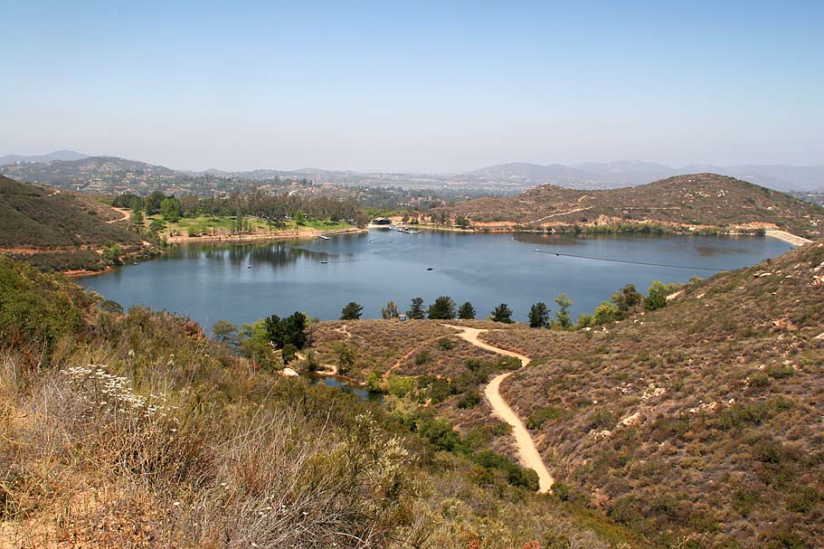
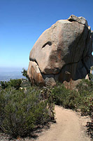
- Lake Poway to Mt Woodson - Park at Lake Poway. Take the Lake Poway trail south around the lake and pick up the Mt Woodson trail on the east side of the lake (Point E). Climb up to the Mt Woodson and Warren Canyon trail junction (Point F). Bear to the left ton continue climbing on the Mt Woodson trail. Both the grade and technical difficulty will get intense. You are a freaking rockstart if you get up onto the ridgeline with less than a dozen dabs. This get a little easier (but not easy) once on the ridgeline (Point N) and the junction with the Fry Koegle trail. Continue on the Mt Woodson trail. A short ways before the submit the trail ends at some pavement. Just before you see the pavement you should notice Potato Chip rock on your left. Do the photo thing if there is not gaggle of folks there. You can't turn around so close to the summit so spin up to the summit and find yourself a spot for a snack. When ready retrace your way all the way back down to Lake Poway. Hang a right at the lake (Point E) and follow the trail around the north side of the lake dam eventually ending up back at the parking lot. This is just a 8 miles but has 2250' of climbing.
- Summit via Fry Koegle Trails. Park at either the CDF Station (Point H) or on Archie Moore Road (Point I) - Take either the Fry-Koegle trail or the Social Trails to the Fry-Koegel trail at Point J. Take the Fry-Koegel trail up to the Ridge Top junction (Point N). Take the Mt Woodson trail east and up. Take note of the junction with the Old Fry Koegle trail at Point M and continue east and uphill. Continue on to the peak (Point O). Retrace your way back to the Ridge Top Junction and turn right (north) onto the Old Fry-Koegle trail. Enjoy some techy rock work back down the junction with "New" Fry Koegle trai at Point L. Retrace your way back to Point J and onward to your vehicle, 7 miles and 1,434' of climbing.
- Woodson via Service Road.- Park at either the CDF Station (Point H) or on Archie Moore Road (Point I) - At the entrance tot he CDF fire station pick up the wide dirt path under the trees heading south . This dirt path with soon come of out onto the paved service road that goes to the summit of Mt Woodson. Get to grunting and then grunt some more until you get to the summit. The service road continues past the summit and down to start of the Mt Woodson trail and Potato Chip rock. Take the Mount Woodson trail down the junction of the Fry Koegle trail (Point N). Turn right/north (and downhill) and enjoy the Fry Koegle all the way back to Archie Moore Road. Turn right onto Archie Moore road followed by another right onto side of Hwy 67 and roll back to your vehicle. 6 miles and 1,340' of climbing.
- Just Call Me Stupid! - There are at least a few other permutations you can do here. If you really wanted to make a mucho grande badass (aka gluten for punishment) ride, Check out the Warren Canyon Trail and from Point G where the trail comes out on highway 67 it is one mile ride down the hill to the Iron Mountain and Ellie Lane Trail System. Butseriously don't be stupid.