
Nate Harrison Grade Road
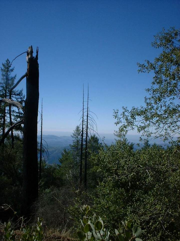
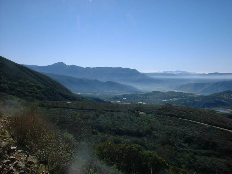
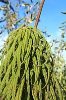
Nate Harrison Grade is on the southwest side of Palomar Mountain in the north end of San Diego County. This is one continuous climb that will certainly test your climbing strength. It has an average grade of 8% over 11.1 miles with some parts being much steeper. With almost 4700 feet of climbing this is a great workout ride with the reward of stunning views and a real sense of accomplishment at the top. A portion of the south slope of Palomar Mountain that Nate Harrison Grade passes through burned in the 2007 wildfires. While the impact is still noticable, the flora has been recovering nicely.
- Directions: These directions have you parking at the Pauma Valley School about 3/4 mile from the start of Nate Harrison Grade road. This is the closest place to park without setting precariously on the side or the road.
- Pauma School Parking Lot:
 From I-15 take highway 76
east for 15 miles. Hang a right onto Cole Grade Road and park in the
Pauma Valley school parking lot 1/2 mile down the road on the right.
From I-15 take highway 76
east for 15 miles. Hang a right onto Cole Grade Road and park in the
Pauma Valley school parking lot 1/2 mile down the road on the right.
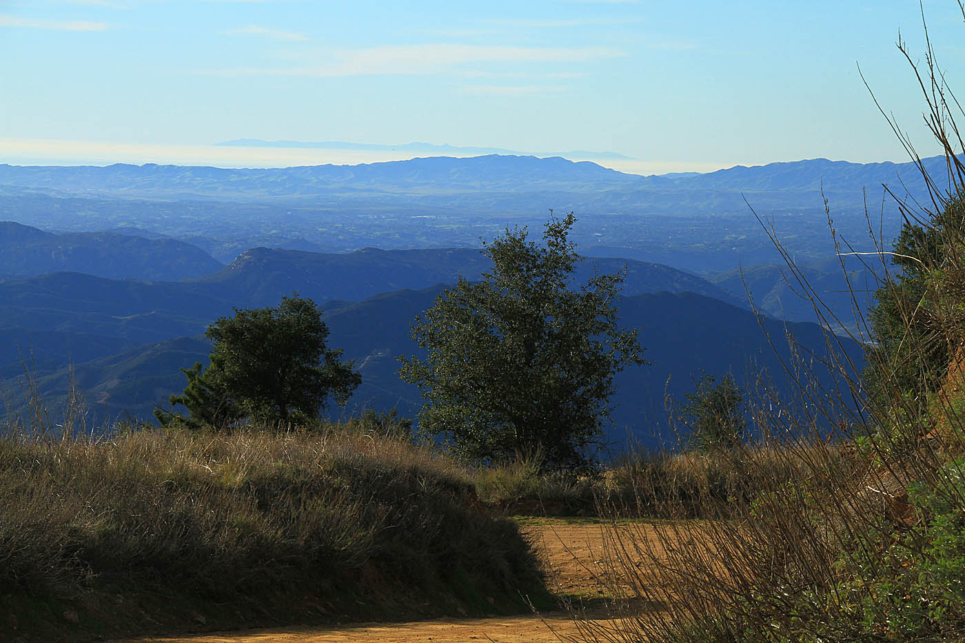
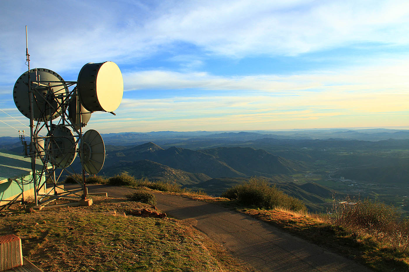
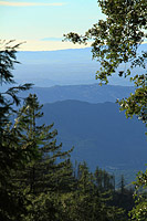
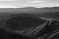
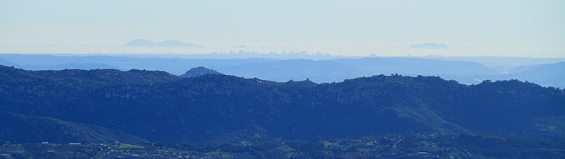 Downtown San Diego and the Coronado Islands seen from Boucher Lookout
 Nate Harrison to Boucher Lookout OAB (20.8mi, 3,626'▲)

- Pauma School Parking Lot: From I-15 take highway 76
east for 15 miles. Hang a right onto Cole Grade Road and park in the
Pauma Valley school parking lot 1/2 mile down the road on the right.
Ride Description:
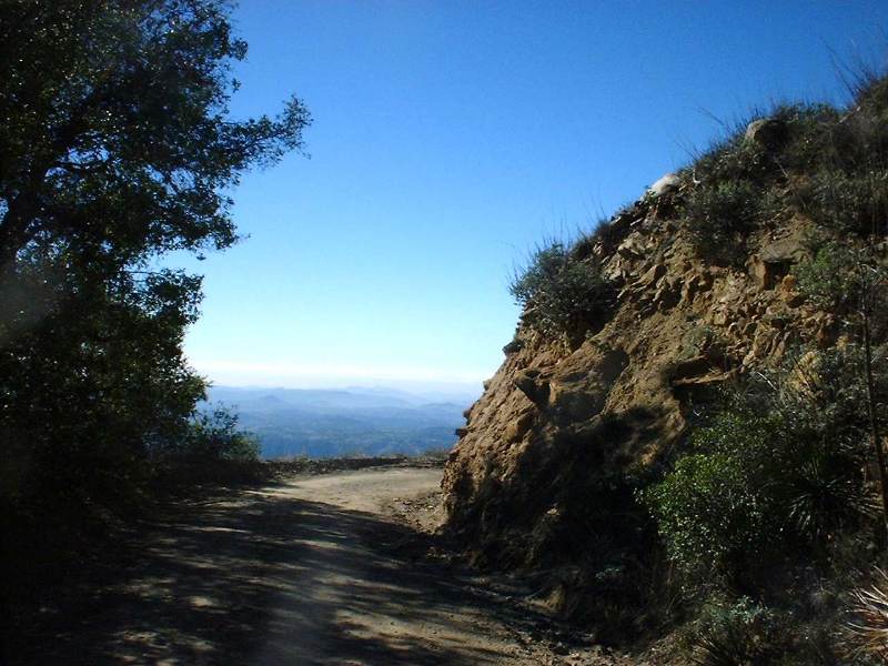
Turn left out of the school, go 1/2 mile to the 76, turn right along the 76 for about 1/4 mile, turn left onto Nate Harrison Grade. You will be glad you started at the school as it will give you time to warm up. The ride starts off at on payment but a little less than two miles from the school into it turns into a dirt fire road. Other than one very short piece that's flat near the top it's nothing but a climb the whole way. The climb is not technical whatsoever as it is hard packed dirt that's for the most part smooth with a few exceptions where 4WD types have dug some ruts. After the 2007 wildfires a couple of small sections of the climb were paved as an erosion control method. This climb is quite grueling from a strength perspective. I would say if you don't ENJOY the challenge of a good climb then don't put this ride on your to do list. If you are up for it, this climb will make you a better climber as it forces you to find a workable pace as spinning all the way in the granny gear will make for a long day.
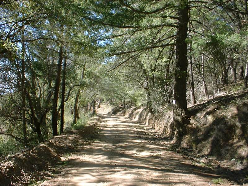
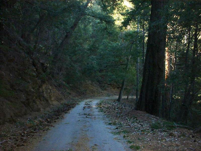
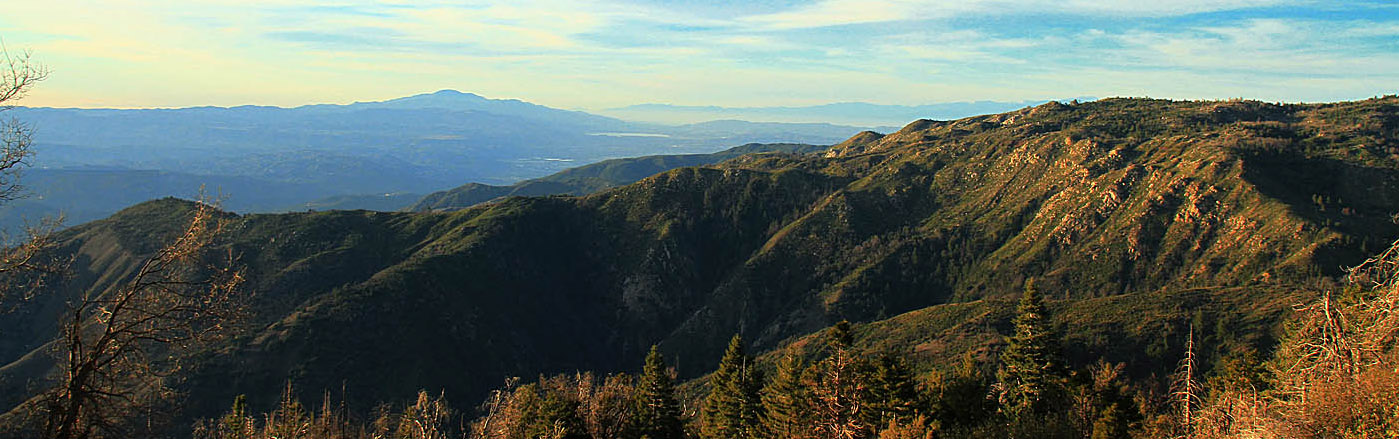
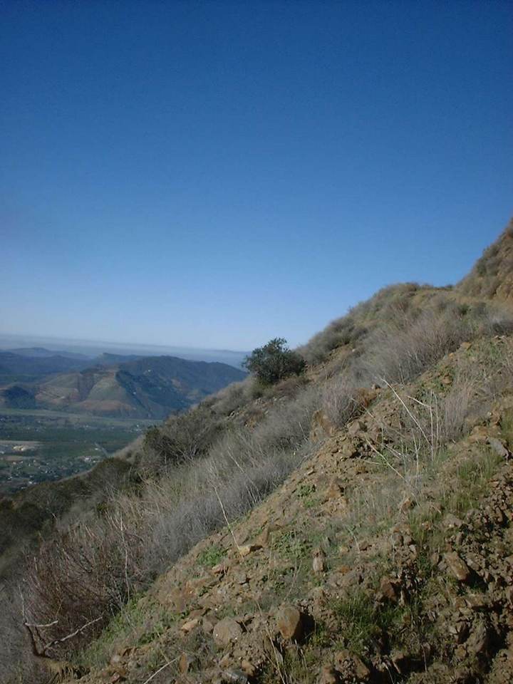
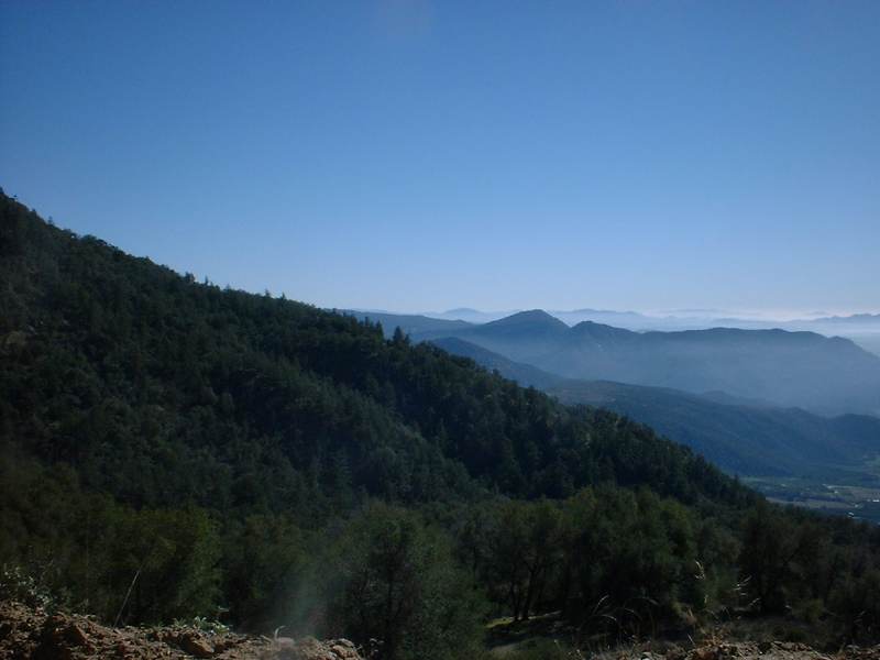
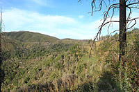
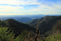
The first part of the climb has you passing through colorful orange groves. As you continue upward you get to watch those groves get smaller and smaller as you climb through rocky sage type terrain. The views just keep getter better as chug along. Around the 4,000 feet elevation mark near the top the flora transitions into forest filled with large pine and cedar trees that keeps you in a constant shadow. It was hard to believe that just a mile back down the trail I was in open mountainside.
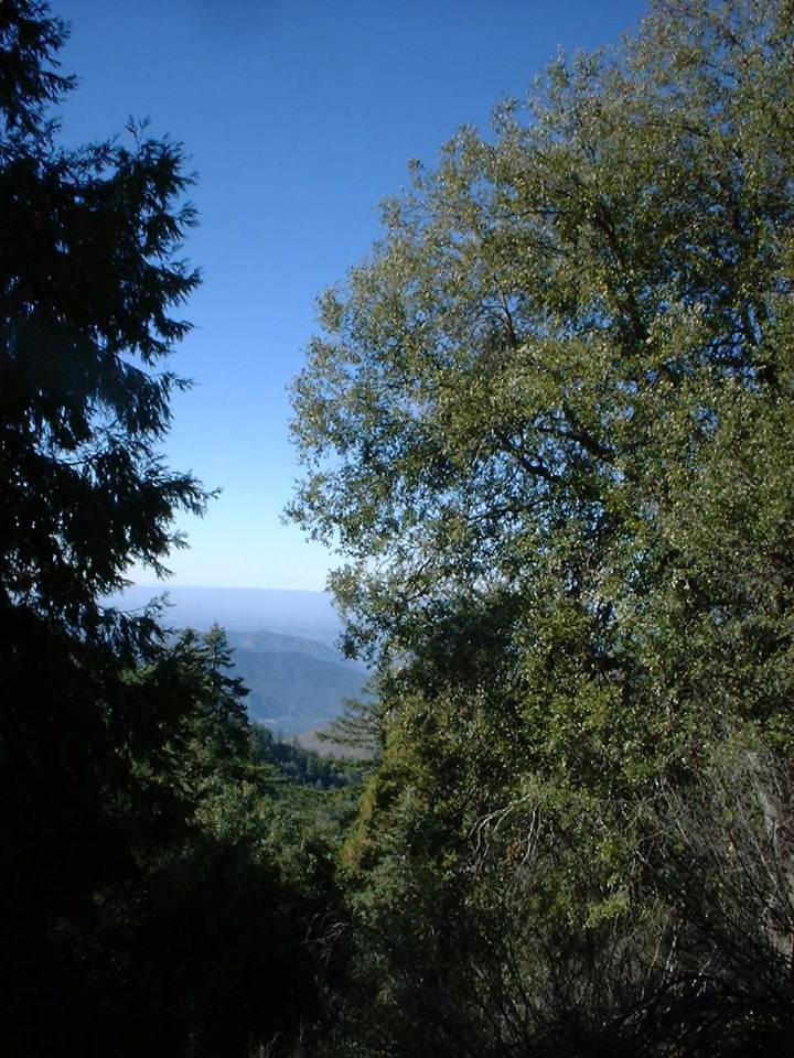
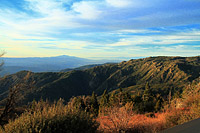
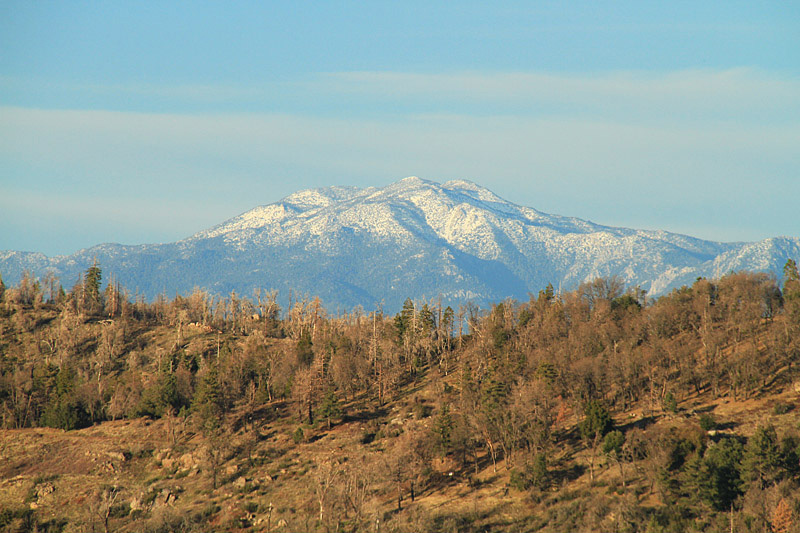 San Jacinto Mountain in the distance can be seen as you near the top of the Palomar Ridgeline
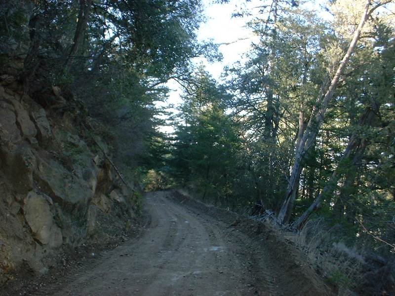
At around 9 miles (from the school) the trail turns into narrow payment that is broken in many places. At around 10.5 miles you come to a five point intersection. Take the hairpin turn up to your right up to Boucher Lookout (there is a sign). At 11.1 miles you reach the lookout at 5438 feet. Take in views of the nearly 4700 feet you climbed to get here.
After your fill of the views check your brakes before you head off because the downhill is downright crazy. You will find yourself on the brakes quite a bit on the way down. The bike launches underneath you whenever you let off the brakes and it was easy to coast at over 30mph down the trail. While things for the most part looked smooth on the way up, it was a different story on the way down as there were an abundance of washboards that were quite interesting at a high rate of speed. By the time I got to the payment section at the bottom my hands and thighs were feeling it. Once back on the payment it was brakes off time and the bike blistered along for a while at 43mph. This made for a quick return back to the school.
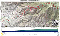
Pictures from Janurary 12th, 2003
Pictures from a Janurary 11th, 2011 climb up the mountain
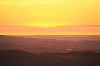
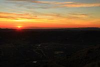
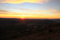
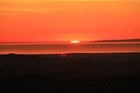
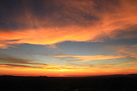
A killer sunset seen from Nate Harrison Grade Road.
Note: For a yummy after ride meal continue west on the 76 for 1/4 mile past Cole Grade Road to Jilberto's Taco Shop.