
Tenaja Truck Trail and Santa Margarita Lookout
Looking for someplace out of the way to ride? This could be the ride for you. This area is rather hard to access from San Diego County but it is a rewarding truck trail and a dirt National Forest service road that offers some stunning views as you ride a narrow strip of the Cleveland National Forest between the San Mateo Canyon Wilderness area and the United State Marine Corp's Camp Pendleton. This is very much a cross-country or gravel bike route.
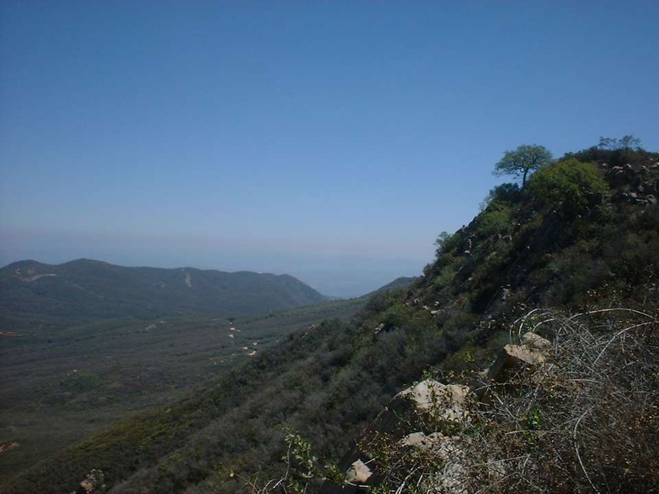
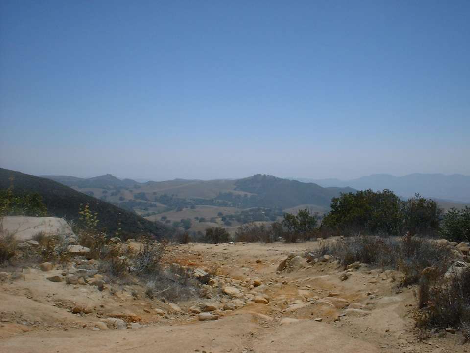
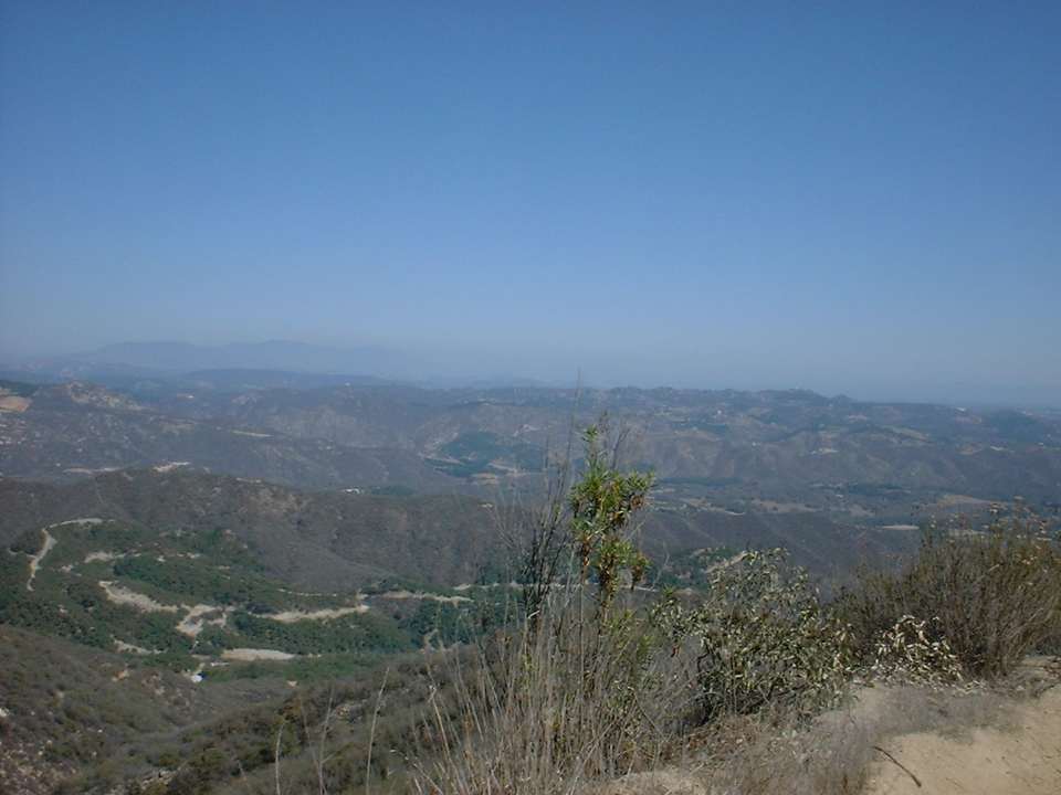
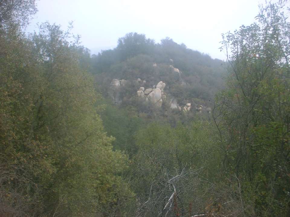
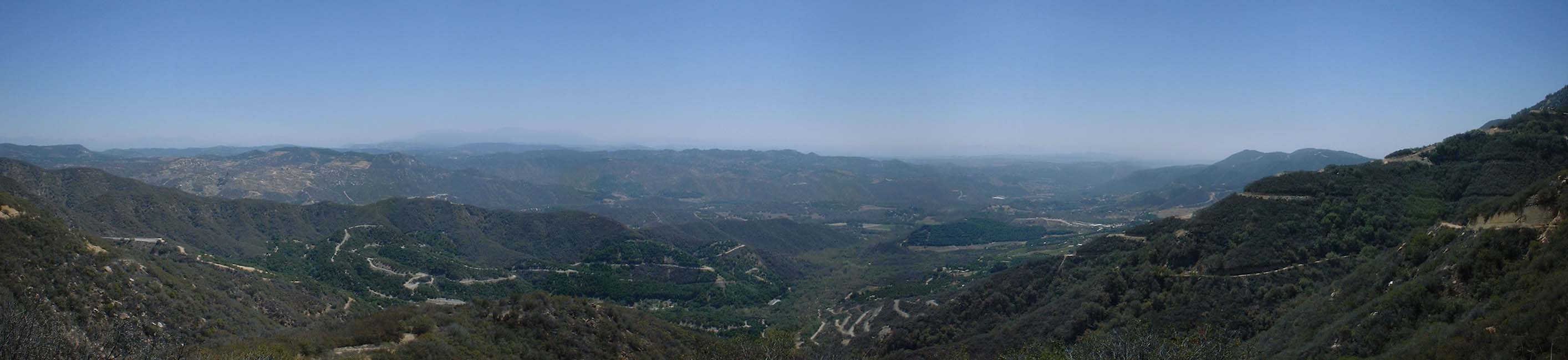 The view looking south - southeast from the Tenaja Truck Trail down to the De Luz area
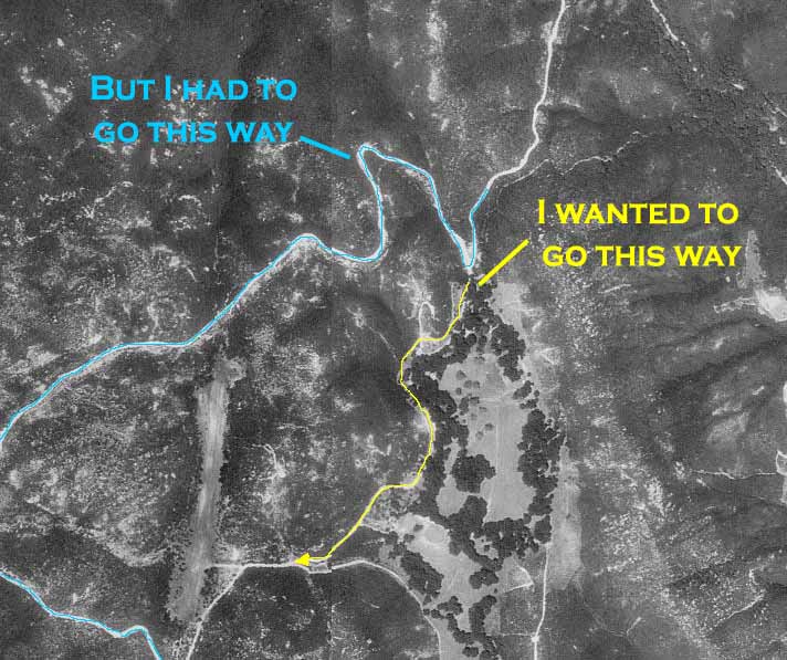
 I had not heard anything about anyone riding out in this area, so I started doing a research on the maps. That is when I found out about this section of the Cleveland National Forest (CNF) that is wedged in between the San Mateo Canyon Wilderness area to the north and west, Camp Pendleton to the south and bunch of private property to the east. The Tenaja Truck Trail provides the only public corridor up to this section of CNF from San Diego County. Your other option is drive way north into Murrieta in Riverside County and then take Tenaja Road south into the area. But then you would miss out on a good climb!
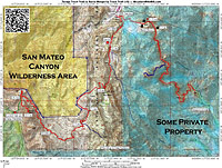
De Luz to Margarita Peak OAB: (21.4mi, 3,100'▲▼)

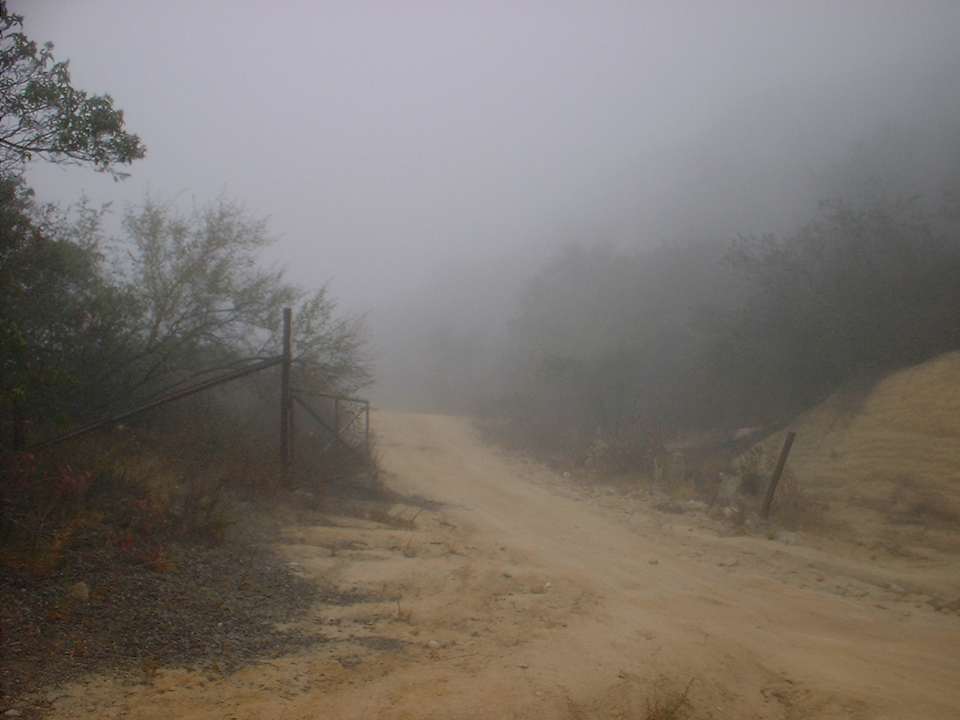
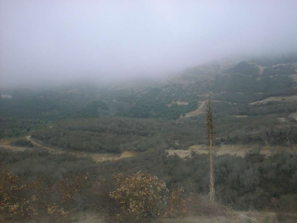
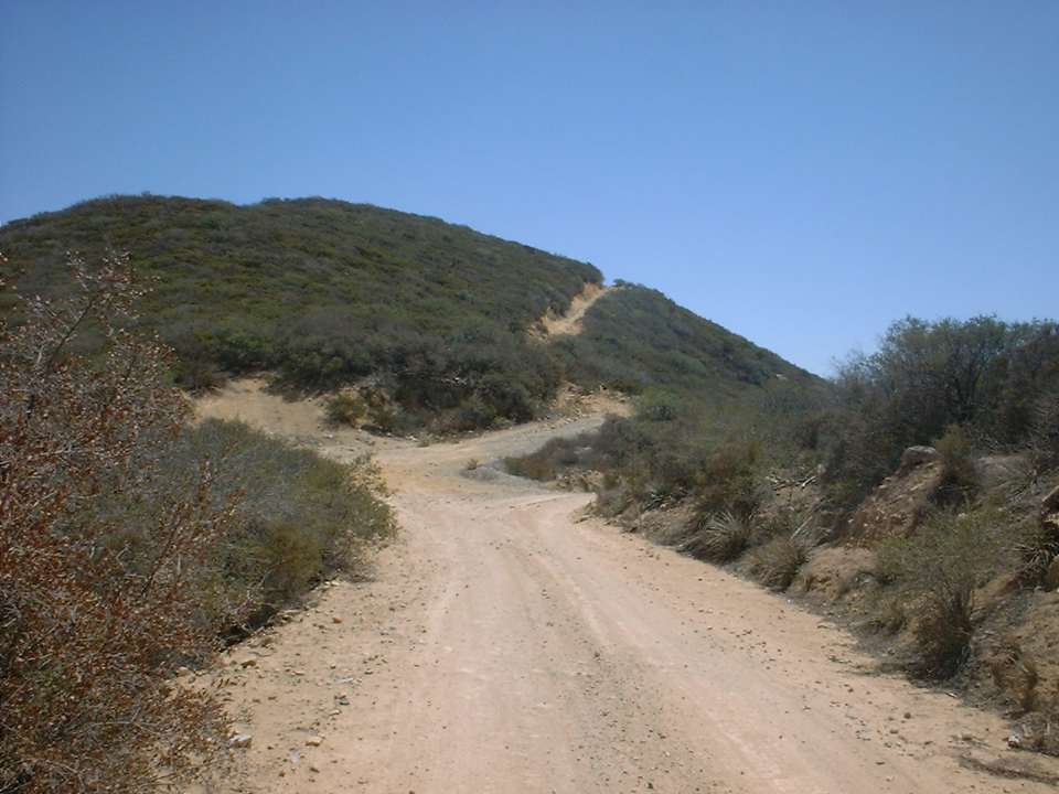
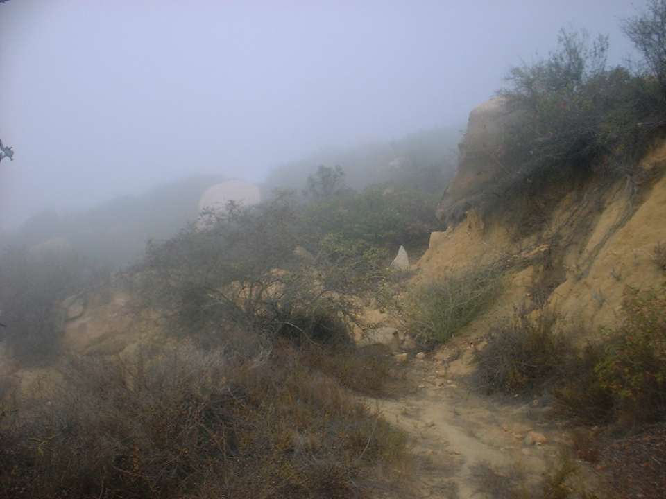
I first went exploring this area on August 17th, 2002 and then followed up with a second trip the following weekend which was sunny and hot. You will find a mixture of pictures from both of these rides intermingled throughout this page. I started out on the 17th of August ride real early and it was quite foggy when I started up the truck trail. The grade is a fairly constant 13 percent. The trail is mostly hard pack but there are some loose sections here and there. The trails twists and winds it way up to the Santa Rosa Plateau. You will certainly notice that there are ton of graded dirt trails cut a long the side of the mountain near the bottom. It looks like it was once used for planting avocado trees or they are getting ready to plant them. Either way, all of these trails detract somewhat from the beauty of the mountainside. However after the first 1/2 mile they are for the most part no longer in view.
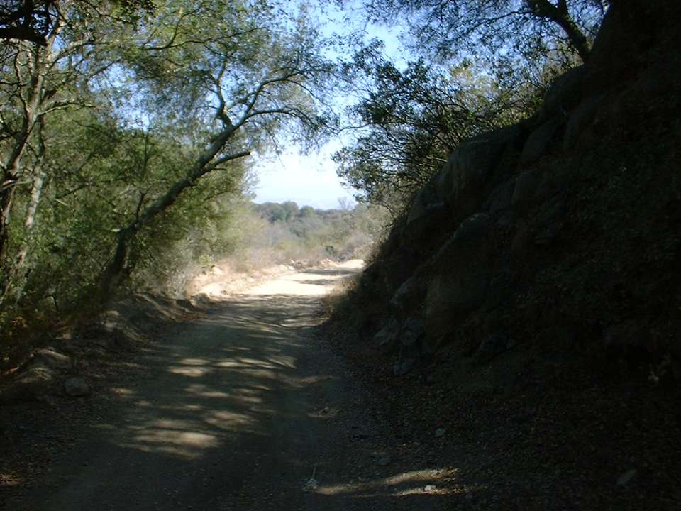
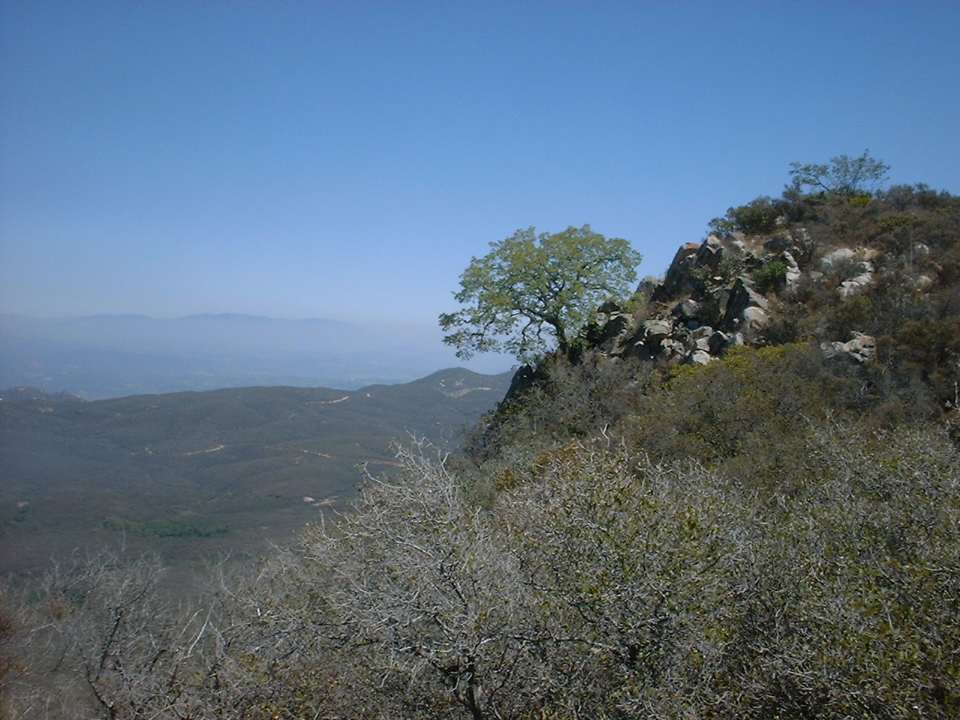
The trail is mostly exposed with patches of trees to give you some interspersed shade on your way up. At around 2.4 miles you will see a trail heading off to the left. There might be some good exploring out in this area ;-> About 3.33 miles into the climb you will will see an old school bus along the side of the trail. Just after this spot there are a couple of shanty homes/shacks off to the right. A couple of dogs call this place their home. If they are out and hear you they will may come out to the trail and walk/run beside you barking. I just kept eye contact with them as I peddled along and they got bored after a while and went back to their porch. A little further up the hill and you reach the top of the climb at 3.75 miles and you will see a couple more shanty homes. The trail makes a right hand turn and starts heading downhill. This is a welcome break to the climbing and you will cruise along to the junction of the Tenaja Truck Trail and the CNF road FS 8S01.
At the junction you will make a sharp left and follow the FS 8S01 south. You will start some gentle climbing up to mile 4.8 before you descend a small hill. While descending you will pass a ranch on the right and then the road will flatten out into an open meadow area at mile 5.2
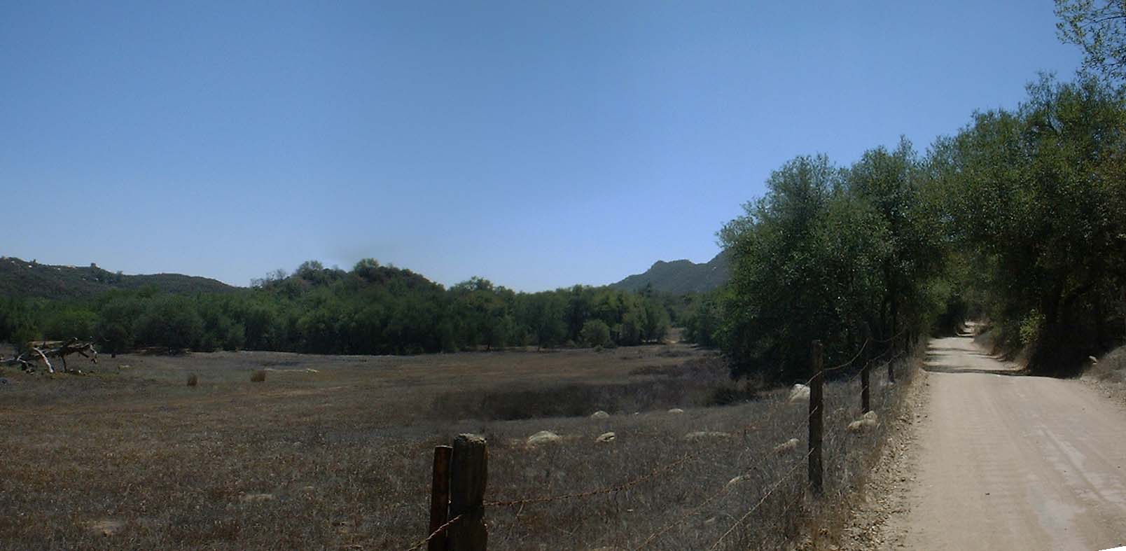 View of the meadow area of at mile 5.2 on FS 8S01
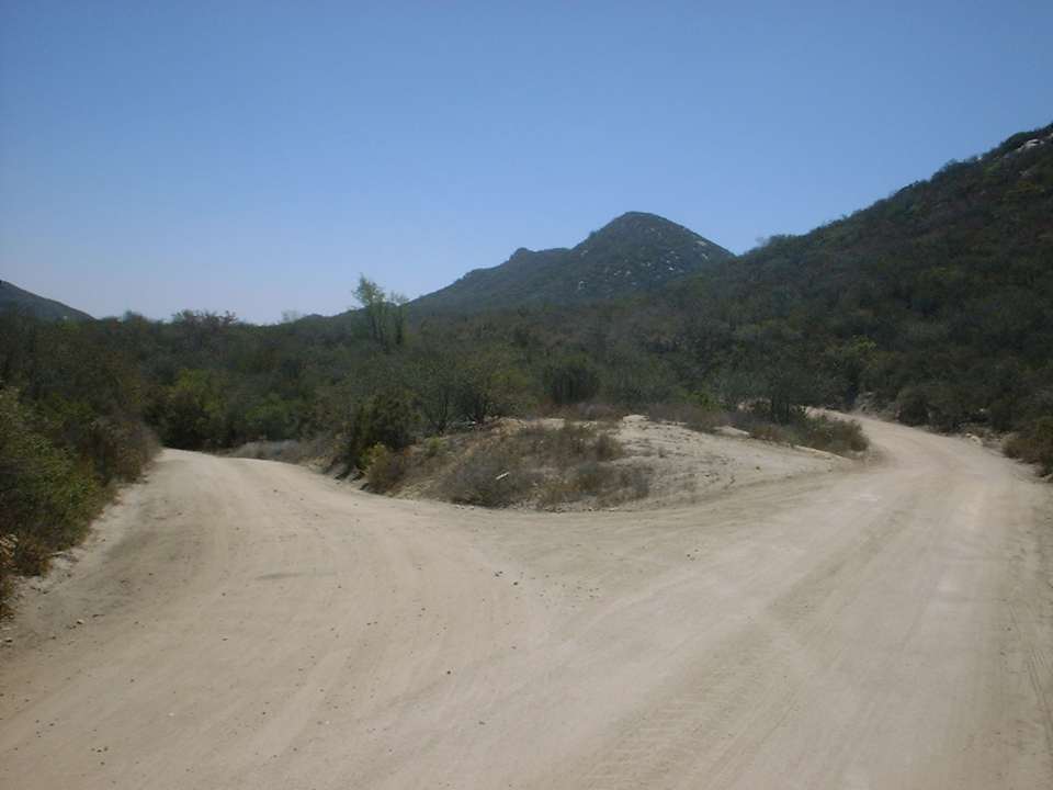
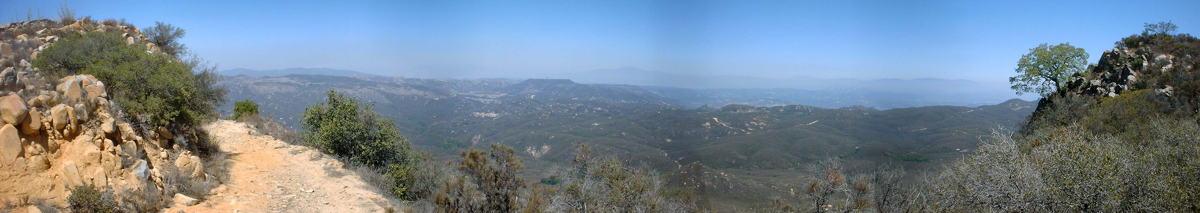
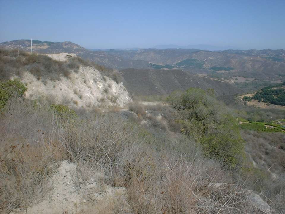
At 5.4 miles there is a substantial dirt road that splits off to the left towards Rocky Peak. Stay to the right/straight. Shortly thereafter the road starts climbing again and some more stunning views open up to the southeast. The panoramic shot below was taken from this location at mile 5.6.
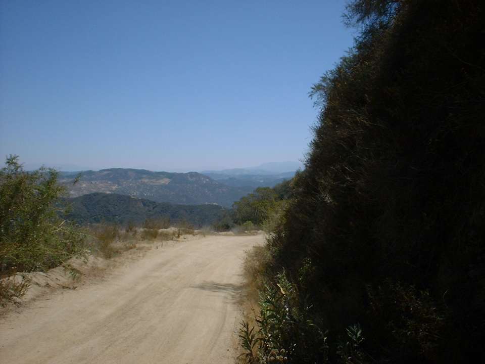
The climbing continues on and at mile 5.9 the FS 8S01 (according to my limited research) changes from it original path which skirted along the edge of a somewhat flat meadow. Instead of running along the meadow the road makes a 170 degree turn and goes uphill to the northwest. The section of the road then loops around the Sky Ranch area to the west. This was the steepest portion of the ride so far and I was a little disappointed to have to climb this area versus rolling through the meadow as it looked very intriguing from an aerial photo. This section of FS 8S01 was the only part of the entire ride were some gravel had been laid on the road. Once peaking out in this climbing section (around mile 6.7) great views of the Santa Margarita Mountains on the far side of Devil Canyon (The southern end of it anyway) could be seen.
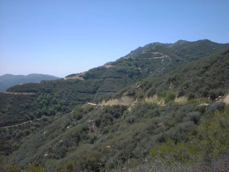
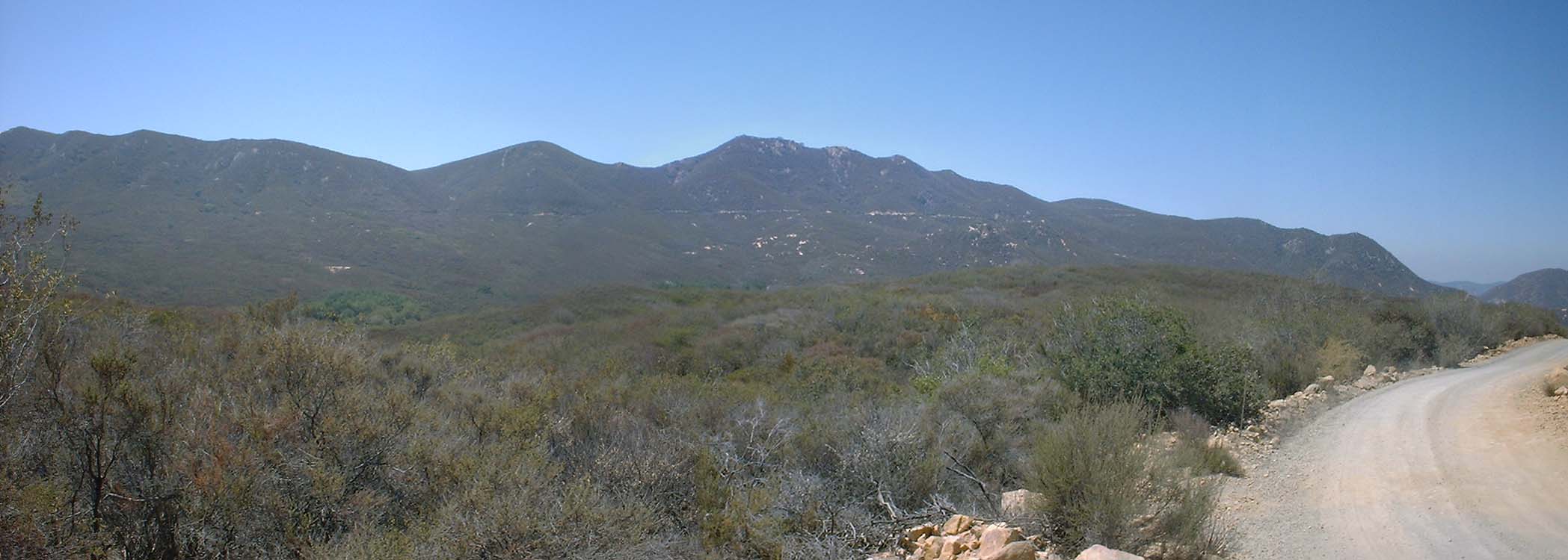 You can see the FS 8S01 working it way up along the side of the mountains up to Margarita Lookout.
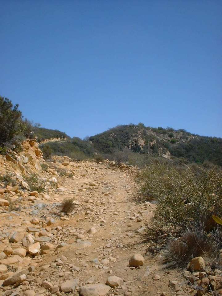
 From this point I rolled down and meet up with road I wanted to take through the Sky Ranch area and continued south along FS 8S01. There are some really quick sections along this road as you head south directly towards the base to the mountains. At around mile 7.7 you will see a single track that heads off up the the left (It is shown as a blue trail on the map). The trail is pretty fun compared to the all the dirt road action I had been traveling on until this point. The trail continued on past were I have have drawn, but it was not on my "plan" for the days ride so I did not want to venture to far down this particular trail. (This side trip is not included in my mileage on the map or this report.) Continuing on the FS 8S01 it turns east and start climbing again as you angle your way up the north side of the mountains. The grade feels milder than it actually is and it is quite consistent. As you climb the views just keep getting better and better.
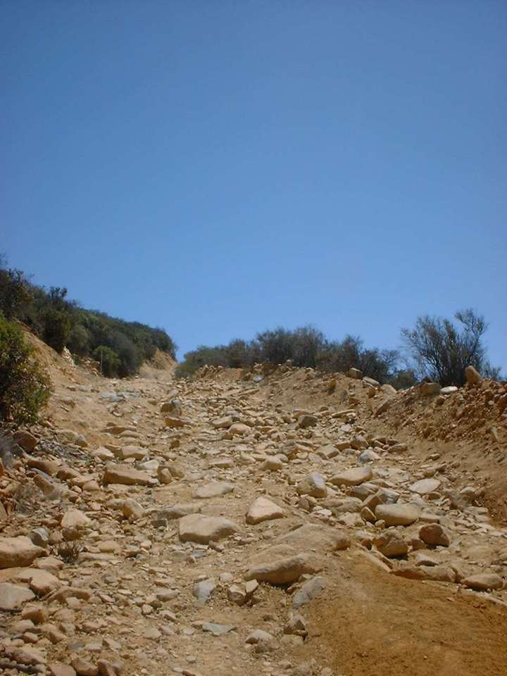
At mile 10.0 the road does a switchback and starts heading west. Shortly there after you come to a Y in the road with the main road bearing to the right and downhill. If you stay on the main road you will quickly run into a locked gate that enters Camp Pendleton. You don't want to go that way. Instead take the really ugly looking steep rocky trail that goes off up to the left. I found this section to be quite technical, but it was made even more challenging due to the mileage already under my belt in the heat of the day. (This was done on my August 25th trip) I found it to require quite a bit of front wheel lofts, lunges and tricky weight shifts to get through this section.
This section also provides you with your first good views of things south of the mountains and I must say it is a shame that you can't get on Camp Pendleton to ride because there are some damn fine looking terrain out there for a mountain bike.
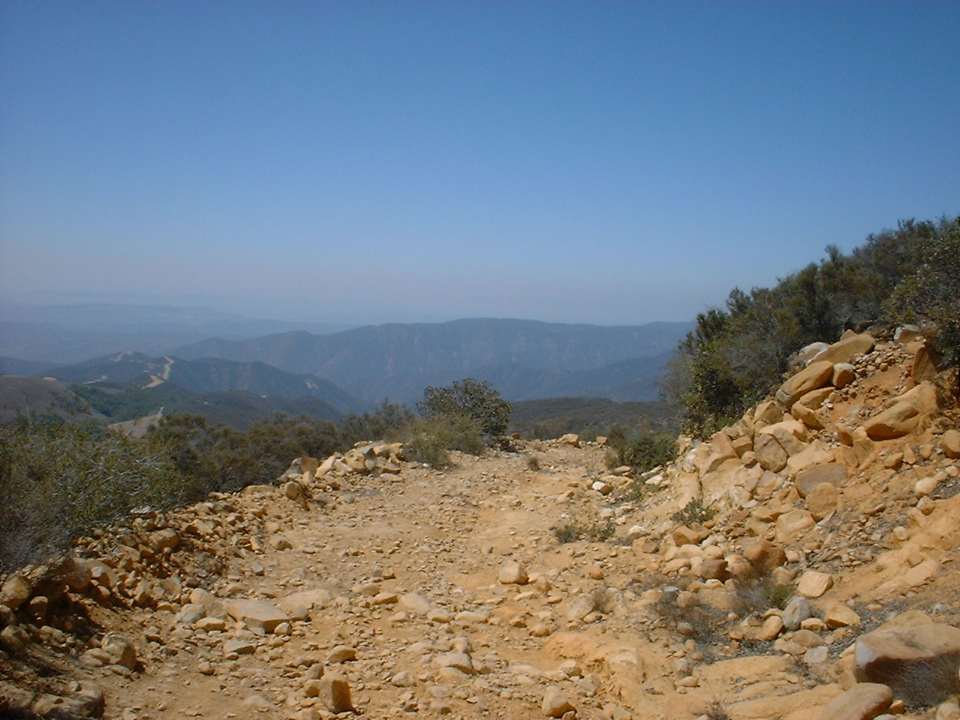
As you work your way up this section you will see the twisted metal remnants of the torn down lookout. Shortly thereafter the trail will do another 180 degree turn and you will be at the Margarita Lookout. Well the location of where the lookout used to be. The concrete foundation is all that is left of the old lookout station. The views here are just downright awesome.
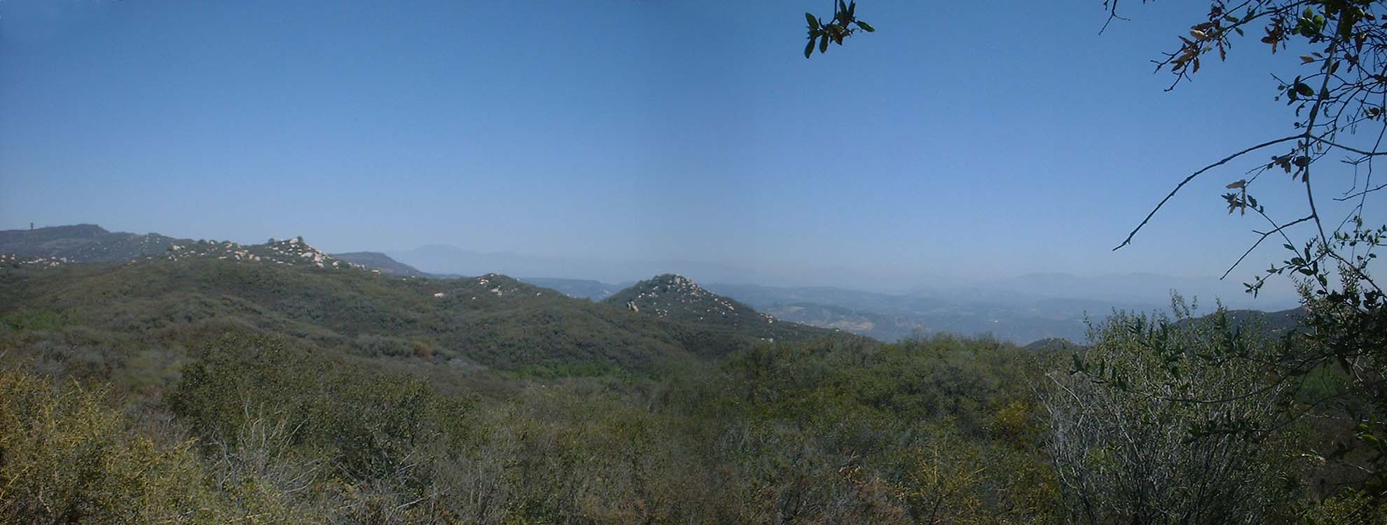
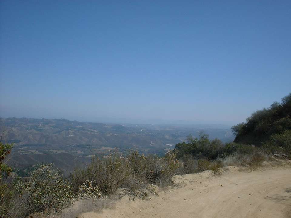
 Here is a panoramic shot from Margarita Lookout looking north across the San Mateo Canyon Wilderness Area. The trail you see on the valley floor on the right half of the picture is the road that I rode up on.
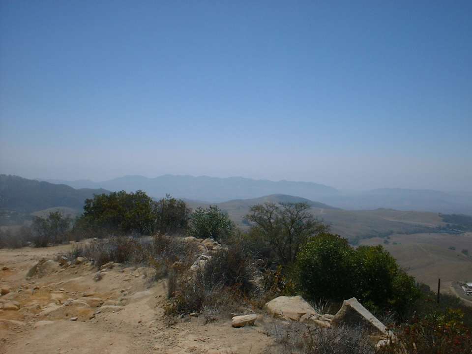
The rolling grass covered hills and mountains located on Camp Pendleton can be seen to the south of the lookout foundation. (Not my best picture work here)
After taking a lunch break in some shade and taking in my fill of the scenery I headed back down the mountain. I found that the technical rocky stuff in the top section was an entirely different problem coming the other direction. Carrying enough speed and committing to the moves as well as keeping your weight back were a few of the skills required to get down this section clean. The speed and commitment were the two hardest for me in this section as this was a solo ride and I was not in particularly "go for it" mood. After getting through the technical section it was a pure speedfest coming down the north side of the mountain range again. Once back onto the valley floor the return trip along FS 8S01 continued to be a lot of fun with more flying down than climbing up.
The Tenaja Truck Trail on the return trip was actually quite a bit more work than I had suspected. There are plenty of turns and the trail screams for you to let it all hang out (and you can) but there are some ruts and loose spots that can get you in trouble in a hurry. Specifically the ruts and not that distinguishable from the good parts of the trail. So at high speed the ruts can really sneak up on you. No need to worry about the dogs by the shanty homes on the way down. You are gone by the time those old porch hounds can perk up their ears. (The picture to the left is not the trail :-) )
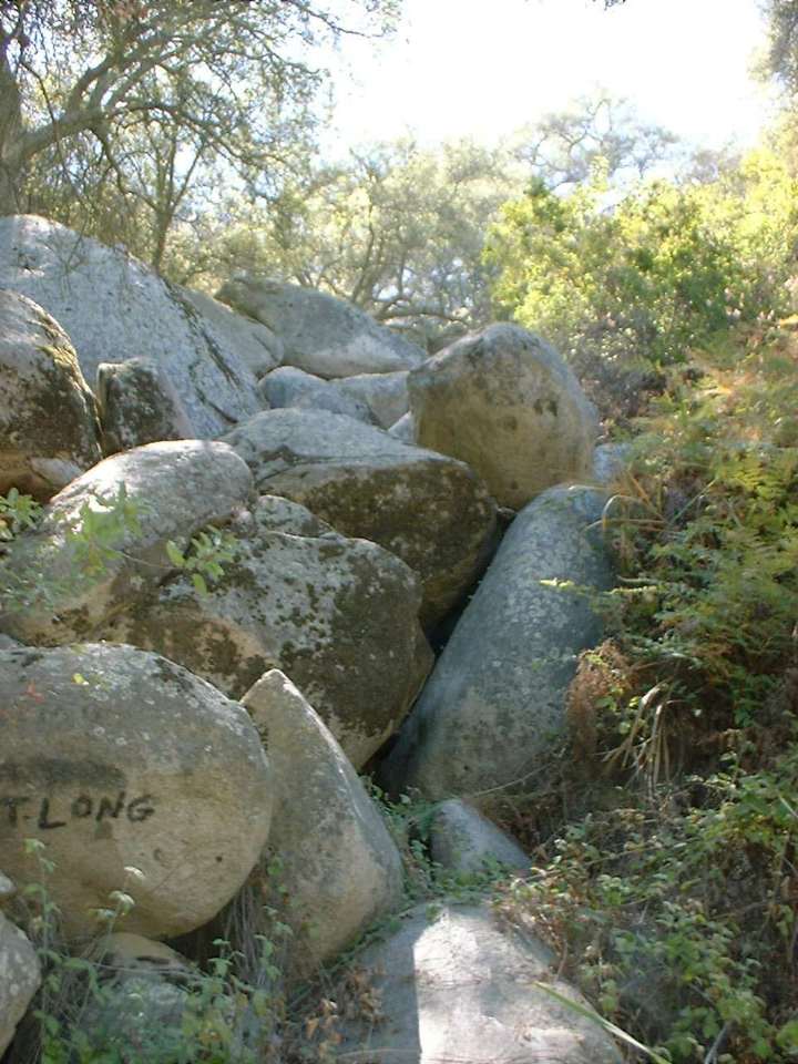
Here are a few additional pictures from the Tenaja Truck Trail
Here are a few pictures from my August 17th trip, where I made a little side trip off of the Tenaja Truck Trail. Look for the blue trail on the map.
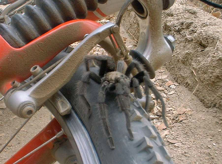
While coming down the Tenaja Truck Trail on August 17th, I thought I saw another trail at the bottom of a ravine below me so I hoped off the bike and snooped around a bit, When I got back to my bike a big hairy 8-legged critter was chilling on my front tire. Pretty Cool. Hmmm.... I found him on the trail, he could have been my mojo. Oh well after checking him out for a few minutes I managed to get him on his way and I got on with the riding back down to the bottom of the Truck Trail and my truck.
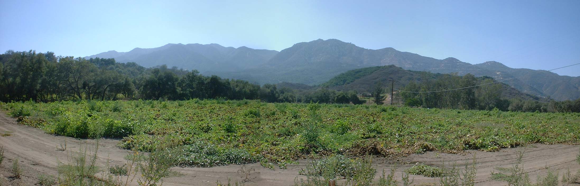 I took this shot after my August 25th ride on my way out on De Luz road looking north to some of the climbing
I had done.
I took this shot after my August 25th ride on my way out on De Luz road looking north to some of the climbing
I had done.