
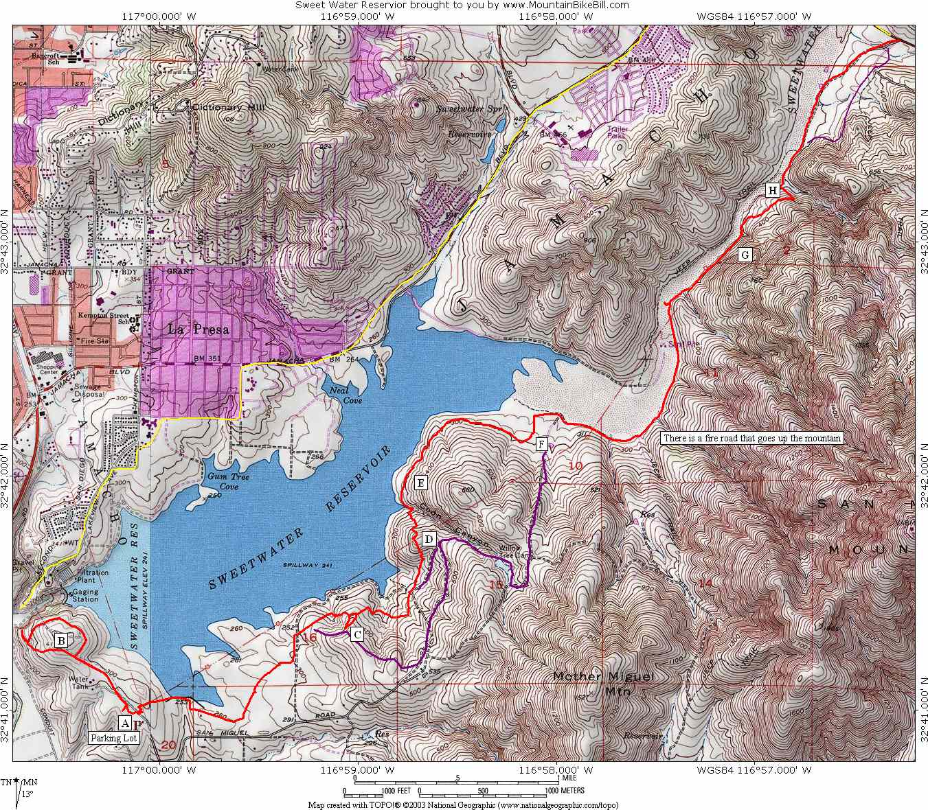
Sweetwater Reservoir
Sweetwater Reservoir s located southeast of San Diego in the community of Bonita and it situated near the foot of San Miguel Mountain.
Directions: Take I-805S to Bonita Road exit and head east. Continue 3.5 miles until Bonita Road bends to the left. Stay straight onto San Miguel Road and follow it for 1.3 miles and take a left on Summit Meadow Road. Drive to the top of the hill and park in the day use parking lot on the left.
HAZARDS: This trails is fairly tame but the technical index goes
up from beginner to intermediate as the further along the trail you go.
 Sweetwater
Map. When you click on this link it will open another windows so you can
toggle back and forth with the notes. There are letters marked on the map
the will be referred to in the trail notes.
Sweetwater
Map. When you click on this link it will open another windows so you can
toggle back and forth with the notes. There are letters marked on the map
the will be referred to in the trail notes.
You can download the TOPO! file for this ride here.
![]() Elevation
Profile of the map above.
Elevation
Profile of the map above.
Trail Notes:
This trail was burned in the 2007 Wildfires so use that status page until this page is updated.
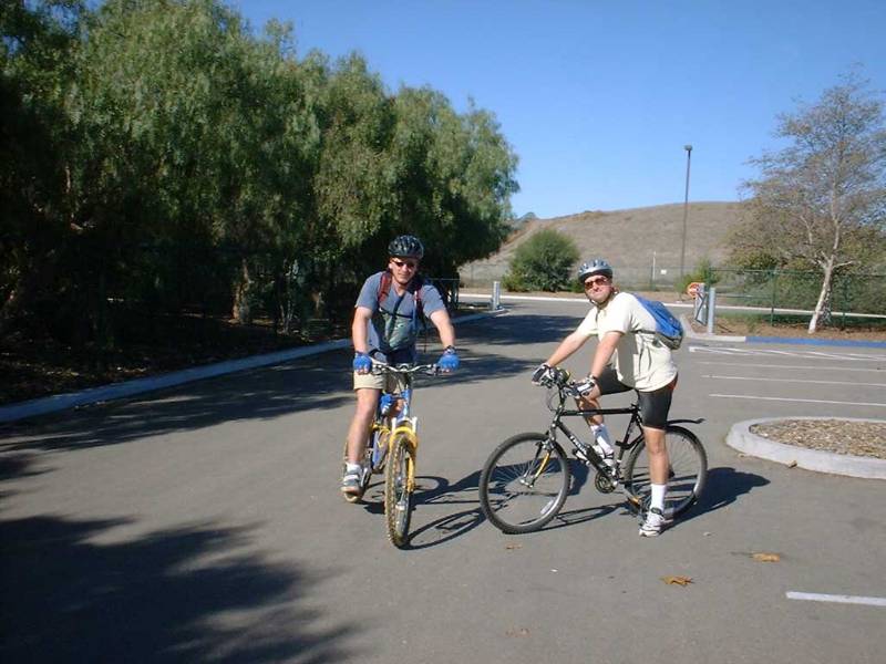
 This
was our first time out at Sweetwater reservoir so this was going to be an
exploratory trip. My cohorts in fat tire mayhem for this trip were
Mike Roach and John Dannecker Mike on Right,
John on Left). The parking lot is located at Point A. We
brought a couple of tall boys for some post ride refreshments but were short a
cooler and it was getting pretty toasty outside. Mike decided to bury the
our refreshments in the shade and see if they would stay cold. So after
Mike was done playing digger dog, we set out from the parking lot west
This
was our first time out at Sweetwater reservoir so this was going to be an
exploratory trip. My cohorts in fat tire mayhem for this trip were
Mike Roach and John Dannecker Mike on Right,
John on Left). The parking lot is located at Point A. We
brought a couple of tall boys for some post ride refreshments but were short a
cooler and it was getting pretty toasty outside. Mike decided to bury the
our refreshments in the shade and see if they would stay cold. So after
Mike was done playing digger dog, we set out from the parking lot west  along
a dirt road and up a small rise towards the dam. At around Point B.
(picture
to the left) we decided to try the trail in the other
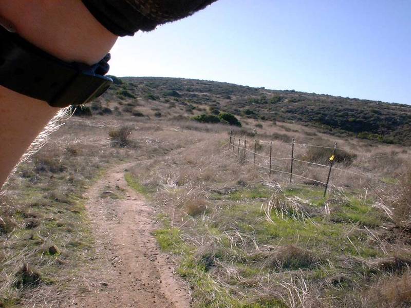
direction. Once back by the parking lot we head out to the east and over
our first set of horse gates. Here is were we found some
confusing. The parks trail map clearly shows that the trails are open to
bikers, hikers, and horses. Yet right there at the gate there was a sign
saying that the trial was for a hiker and horse trail. It did not say NO
bikes allowed, but it sure did not mention them. Of course the devil is in
the details. The small print on the sign said that it was place there by
the a local equestrian club, which means the sign is a cheap trick attempt to
keep mountain bikers off of open trails. (At several points along the ride
we ran into these signs, just ignore them.) Well once we figured
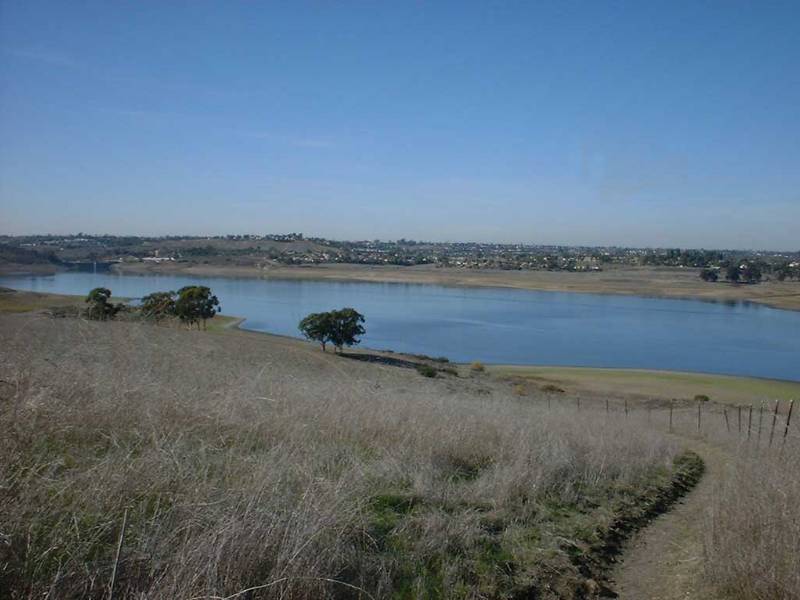
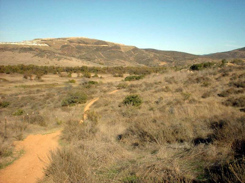
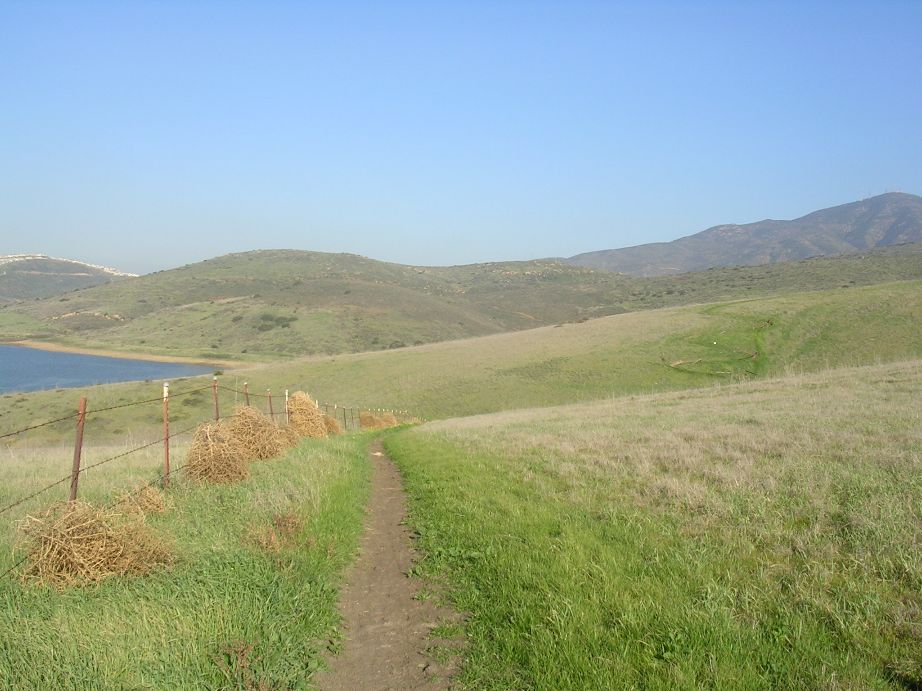
this out we rolled fairly flat terrain with a view of the reservoir to our
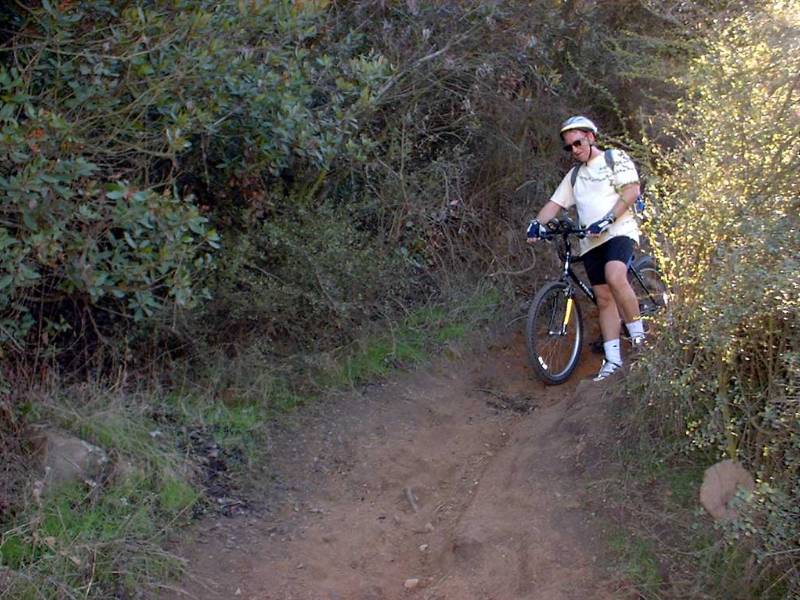
left. At Point C, we came to our first hill. It had a short series
of switchbacks in them that were easily rideable if you have done any switchback
before. Below are some pictures of this area.
along
a dirt road and up a small rise towards the dam. At around Point B.
(picture
to the left) we decided to try the trail in the other
direction. Once back by the parking lot we head out to the east and over
our first set of horse gates. Here is were we found some
confusing. The parks trail map clearly shows that the trails are open to
bikers, hikers, and horses. Yet right there at the gate there was a sign
saying that the trial was for a hiker and horse trail. It did not say NO
bikes allowed, but it sure did not mention them. Of course the devil is in
the details. The small print on the sign said that it was place there by
the a local equestrian club, which means the sign is a cheap trick attempt to
keep mountain bikers off of open trails. (At several points along the ride
we ran into these signs, just ignore them.) Well once we figured
this out we rolled fairly flat terrain with a view of the reservoir to our
left. At Point C, we came to our first hill. It had a short series
of switchbacks in them that were easily rideable if you have done any switchback
before. Below are some pictures of this area.
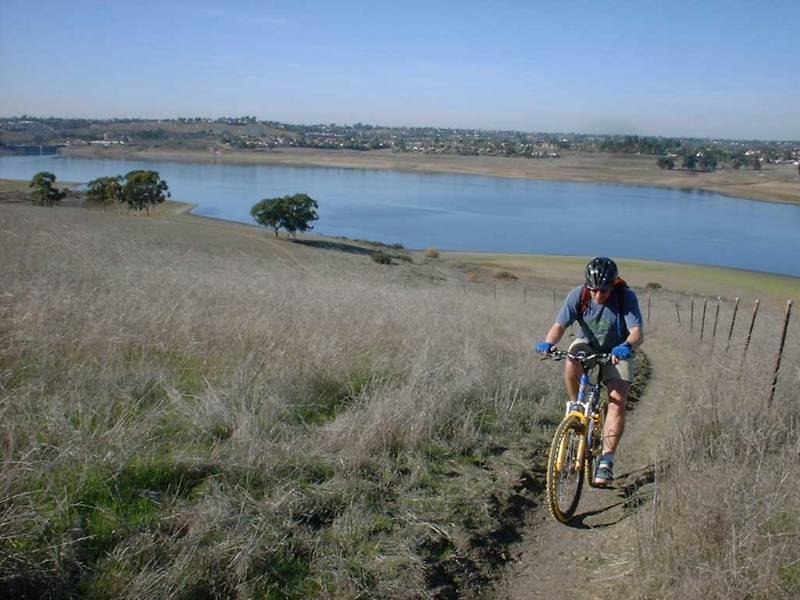
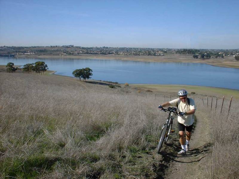
 After
the switchback the terrain became a little hillier. As we approached Point
D we had to climb a short but steep and loose hill that tested your ability to
handle going from little to max exertion in an instant. Once a Point D, we
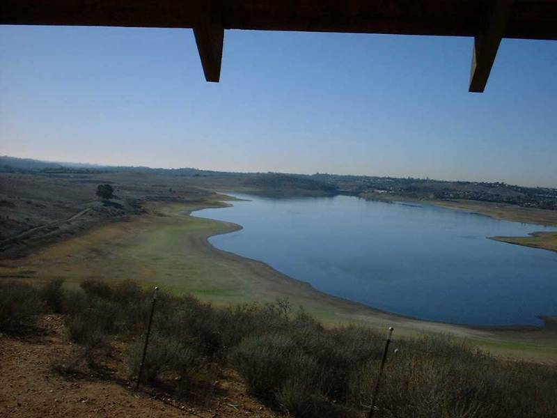
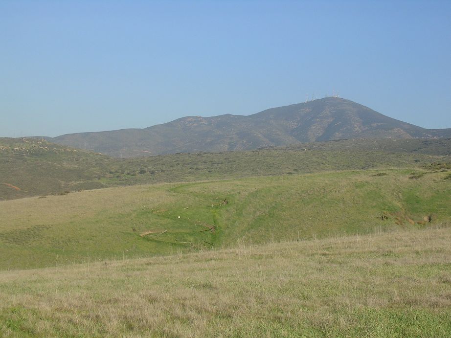
had nice view as well as a picnic table to chill on for a minute. The
elevation at this point is 471 feet with the reservoir below at 241 feet.
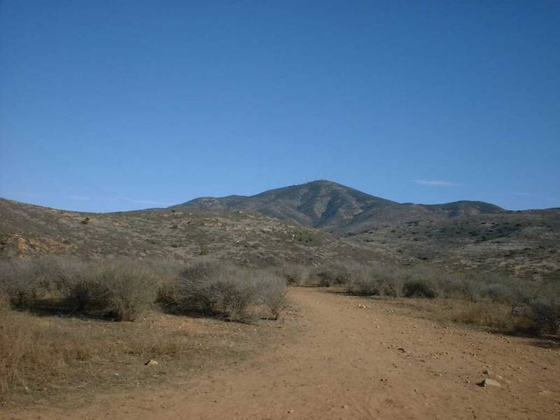
San Miguel Mountain was 2.44 miles off to the east. There is fire/access
road that goes up to it's peak at 2,568 we means it would be a good
workout. We did not do that this trip but it is on the To-Do
list.
After
the switchback the terrain became a little hillier. As we approached Point
D we had to climb a short but steep and loose hill that tested your ability to
handle going from little to max exertion in an instant. Once a Point D, we
had nice view as well as a picnic table to chill on for a minute. The
elevation at this point is 471 feet with the reservoir below at 241 feet.
San Miguel Mountain was 2.44 miles off to the east. There is fire/access
road that goes up to it's peak at 2,568 we means it would be a good
workout. We did not do that this trip but it is on the To-Do
list.
 After
we all regrouped, we pressed on into a sweet section of rolling of singletrack
(Point E) . Nothing technical to speak of, just comfortable
rolling.
After
we all regrouped, we pressed on into a sweet section of rolling of singletrack
(Point E) . Nothing technical to speak of, just comfortable
rolling.
 After
about a mile the trail rolled into a flat area and hung a left turn at Point
F. Shortly after this point, we had to go through another horse gate and
there was another bogus sign posted there. After passing through the gate,
you are on dirt road that goes off to the right. A little further down the
road you see another dirt road going off to the right. This is the road
that should go up to the peak of San Miguel. Once again we did not do that
ride. The road dwindled back into single track.
After
about a mile the trail rolled into a flat area and hung a left turn at Point
F. Shortly after this point, we had to go through another horse gate and
there was another bogus sign posted there. After passing through the gate,
you are on dirt road that goes off to the right. A little further down the
road you see another dirt road going off to the right. This is the road
that should go up to the peak of San Miguel. Once again we did not do that
ride. The road dwindled back into single track.
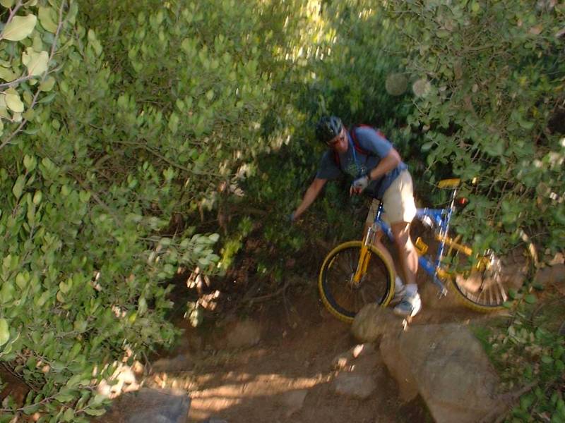
 Around Point G the trail got somewhat technical. Part of my calculations for
how technical a trail includes the penalty for failure. The exact same obstacle
with ferns around it instead of jagged rocks is less technical. With that
in mind there were a couple arm-breaker obstacles that could really put a
hurting on you in this area.
Around Point G the trail got somewhat technical. Part of my calculations for
how technical a trail includes the penalty for failure. The exact same obstacle
with ferns around it instead of jagged rocks is less technical. With that
in mind there were a couple arm-breaker obstacles that could really put a
hurting on you in this area.
 The
width of the river narrows down as proceed on past Point G. The trail as
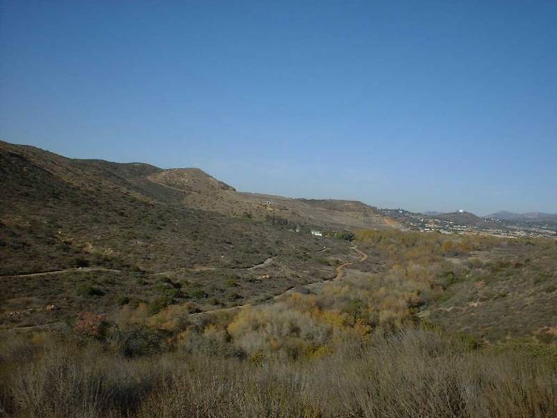
starts climbing until you reach a switchback at Point H.
The
width of the river narrows down as proceed on past Point G. The trail as
starts climbing until you reach a switchback at Point H.
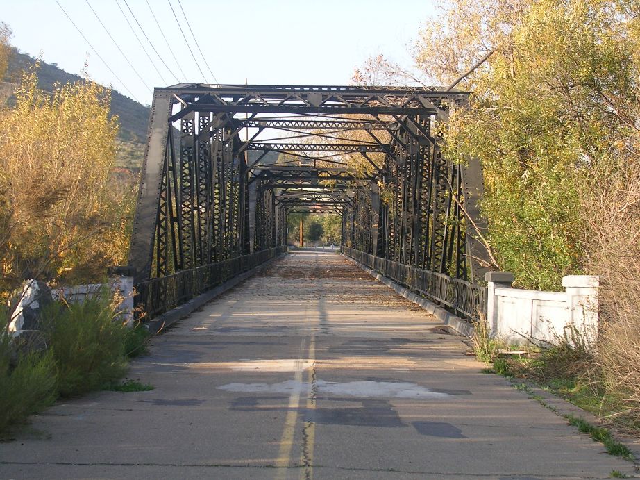 From here you can
look on up the trail and see the old steel Jamacha Bridge off in the
distance.
From here you can
look on up the trail and see the old steel Jamacha Bridge off in the
distance.
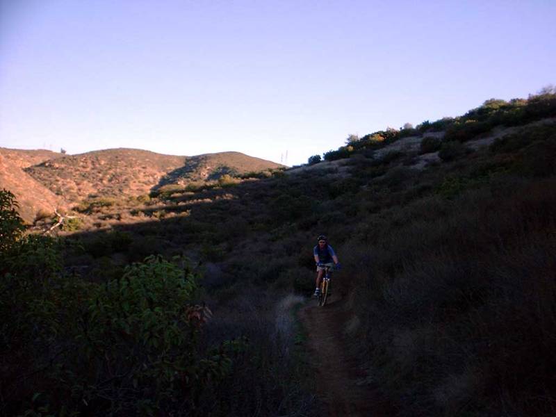
 Here
are Mike and John coming the hill just below the switchback.
Here
are Mike and John coming the hill just below the switchback.
At the steel bridge most folks turn around and head back the way they came.
Ohh, ... The tall boys were still cold when Mike dug them up at the end of the ride!
December 2004 Update
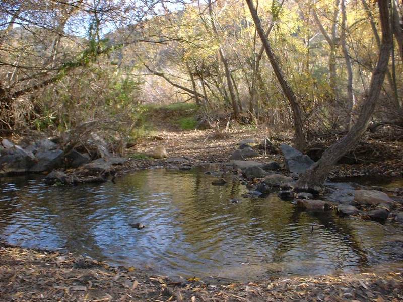
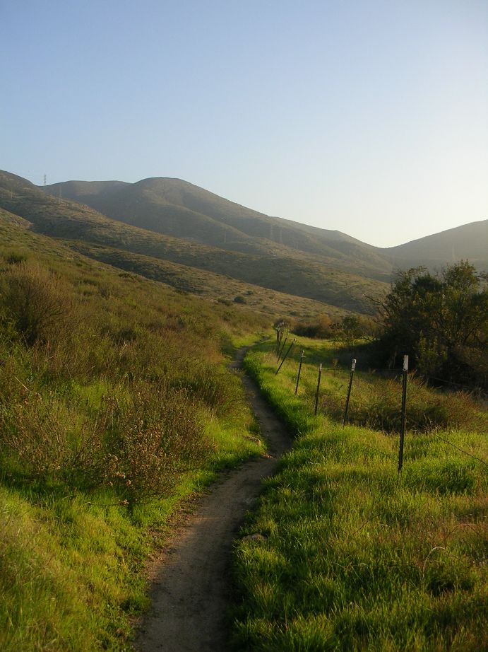
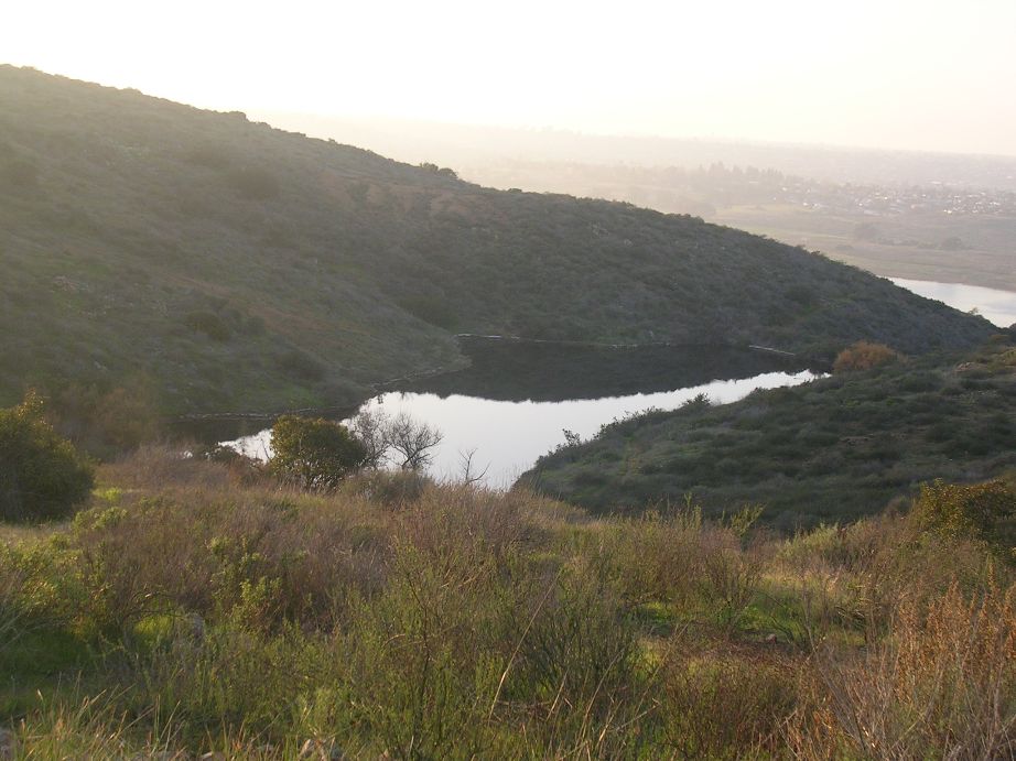
I have updated the map with some additional trails I rode on my latest ride there. They are in purple on the map. There are certainly more trails here than I have shown so feel free to explore. If you go all the way to the bridge, I would recommend that on your way back at Point F, hang a left at a Y split in the singletrack and work your way up to the saddle. This will bring you up to a fireroad. Follow in down to a small pond where you hook up with some singletrack that works its way back towards Point D. At your next intersection, take the "high trail" to your left for some nice contour riding that takes you gradually up to a ridgeline. At the top look for a singletrack bearing off to the right. Take it for some wonderfully ridgetop ride and gradually descent back to Point C.
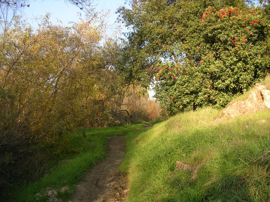
Here are some pictures from along the route I just described
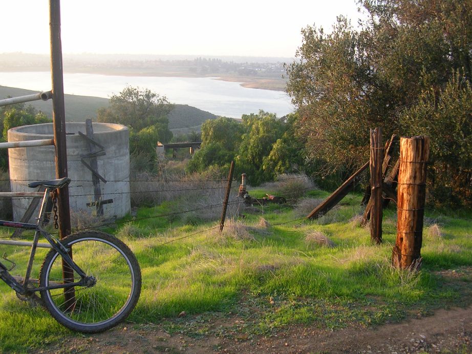
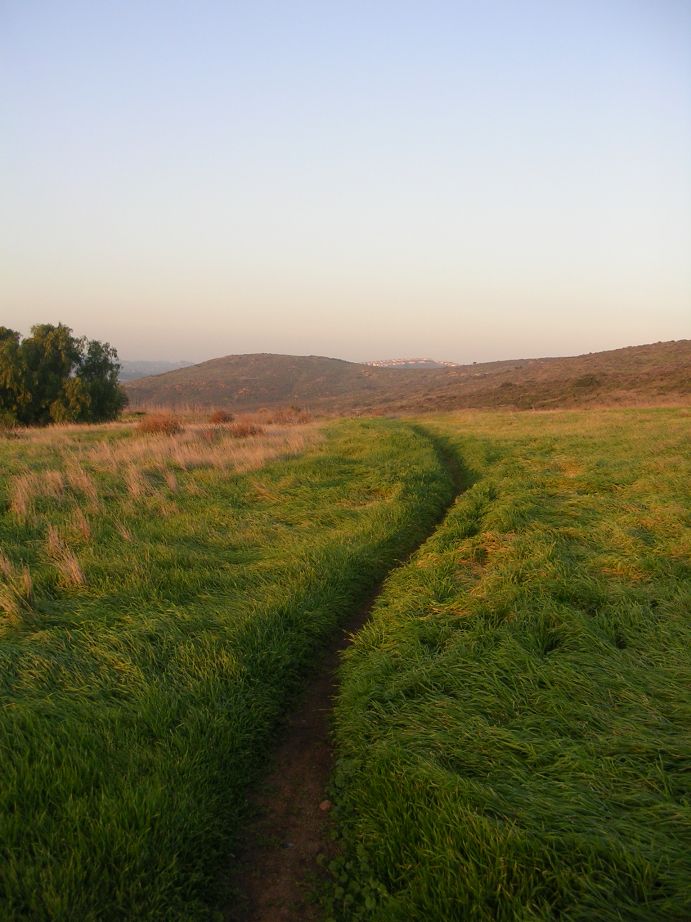
Here are a few pictures taken between Point B and C

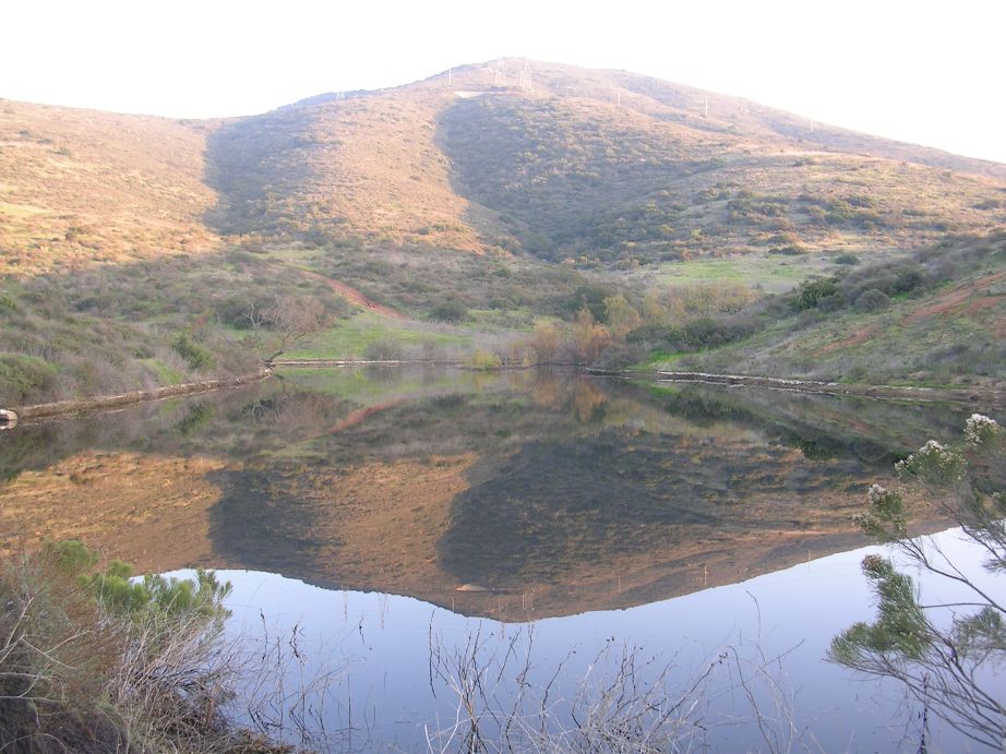
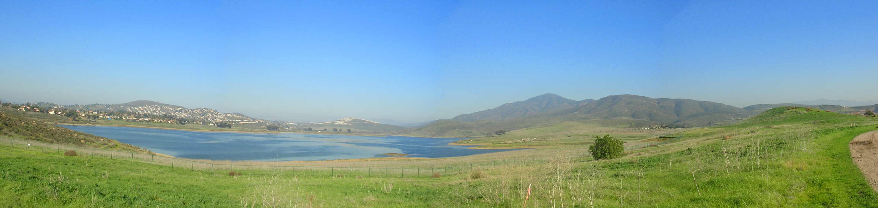
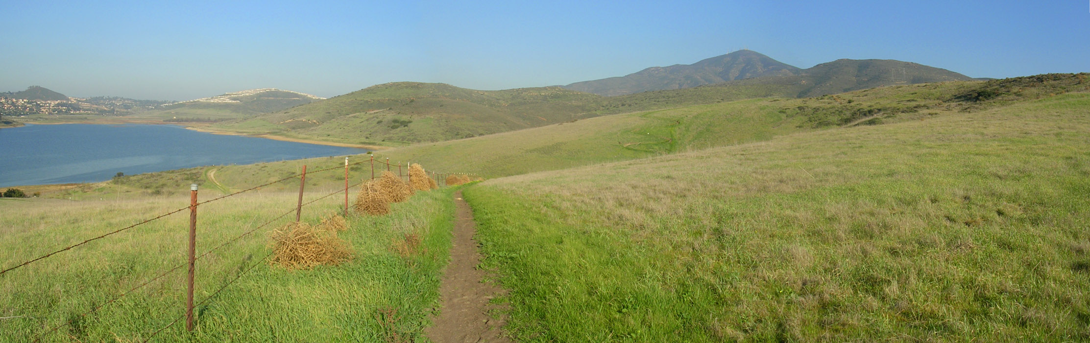
Here are a couple of pan shots taken near the reservoir.
Check out the switchbacks in the distance