
The Joplin Trail

Joplin is a technical trail lovers kind of trail located at the top of the Santa Ana Mountains. It starts at the saddle of Modjeska and Santiago Peaks and drops down the west slope of the mountains to an area called Old Camp. Drops is a good word to describe this trail as it sheds off nearly 2,000 feet of elevation in about 2 miles. The trail is often loose and rocky with some chunky stuff here and there. Combined with an average grade of 20 percent this is one of those places where you need to bring your "A" game to fully appreciate this trail. You just can't drive to either the bottom or the top of the trail so it requires some work to access it. The route described here is a combination of the Harding Truck Trail, Main Divide, Joplin, and the Santiago Truck Trail. It is a little over 25 miles long with just over 5,000 feet of climbing. Joplin alone would be considered an advanced level trail, but combined with the cardio effort required to get to the trail, I feel confident in calling this loop an advanced ride. While Joplin can be ridden on any type of bike (skill level dependant of course) I think most people would find the price of admission to lug a bigger travel "All-Mountain" style bike up the mountain worth it.


The PDF map to the left is formatted to be printed on 8.5" by 14" paper.
GPS Files for this route: ![]() ,
, ![]()
HAZARDS: In addition to the standard mountain biking hazards on technical trails, if you are sensitive to poison oak, make sure you take precautions such as leg warmers, sleeves, or the various blocking creams that are on the market as well as a good after ride scrub. While not impending out into the trail, the evil leaf is often close by just waiting for you to veer off the line.
Directions: Take El Toro road exit off I5. Go east until
it turns into Santiago Cyn Rd. Take S18 to
Modjeska Canyon Road. Park in the large dirt area directly across from the turn
off for Modjeska Canyon Road.![]()
Video
Ride Notes:
There is parking right at the bottom of Harding Truck Trail, but it is often full. Additionally, starting right off on HARDing is a tough way to warm up. I find parking off of Santiago Canyon road and riding the 1.95 miles of gradual climbing pavement gets the blooding flow before the serious work starts. From the parking area ride up Modjeska Canyon road for .9 miles were it will bear hard to the left. Remember this spot and you will be coming down the road to your right at the end of the ride. Continue up Modjeska Canyon road until at 1.95 miles, and the end of the road, you see a sign for the Harding Truck Trail (Point A on the map).

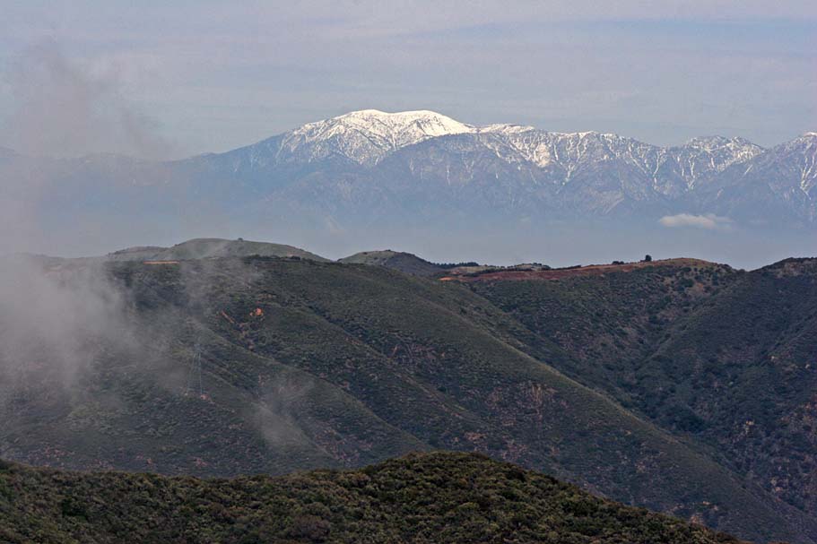
Harding Truck Trail is a non-technical fireroad that climbs and climbs and climbs. It will gain about 3,000 feet of elevation in 8.9 miles. There are two short descents in this climb, one near the bottom and the other just before you get to the top. Normally I don't mind a little downhill, but on this trail they are a bit of a bummer as you know you are just going to have to regain the elevation you are loosing. On the day we did this ride we were under the clouds for nearly the entire way up and just before we reached the top at four corners we were able to get in some views. Four corners is the junction of the Maple Springs Fireroad, Harding Truck Trail and the Main Divide Truck Trail. You will have gone about 10.8 miles when you reach Four Corners (Point B on the map).
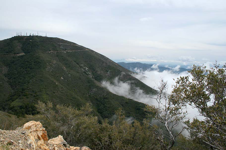
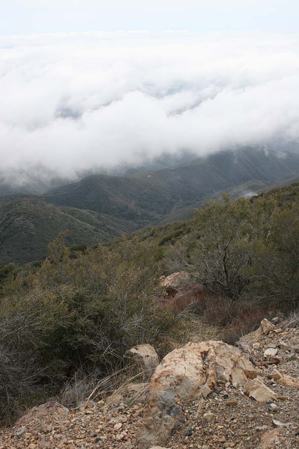
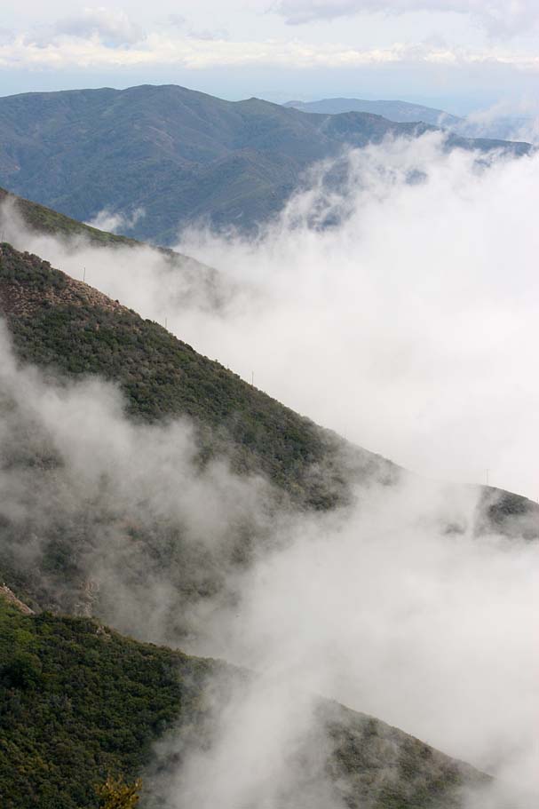
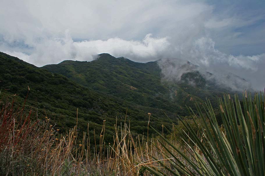
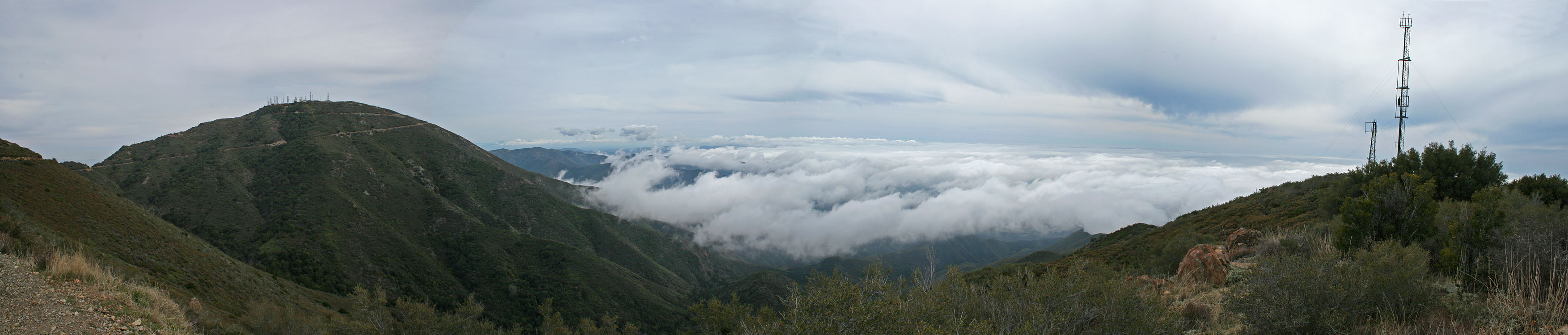
From Four Corners you will turn right on the Main Divide Truck Trail and keep on climbing. While the grade over the next 1.6 miles is not particularly bad there are a few spots where it gets rocky enough to take a little more energy out of your legs to keep moving. Your climbing on Main Divide is pretty much over when you make a sharp left-hand turn and Santiago Peak comes into view. The picture on the left and the panoramic shot below show Santiago Peak. The groves of trees you see in the lower left hand corner of the pictures is the general route that the Joplin trail follows on its way down the mountain. If you look in the middle of the picture on the right you will see a trail going up a hill off in the distance and far below you. That is the trail leading out of Old Camp (Point D) to the Upper Santiago Truck Trail (Point E).
 The finish of the climbing on Main Divide
 Photo Note: All of the pictures of the ugly guy in the long sleeve blue jersey were taken by Jerry Daniels.
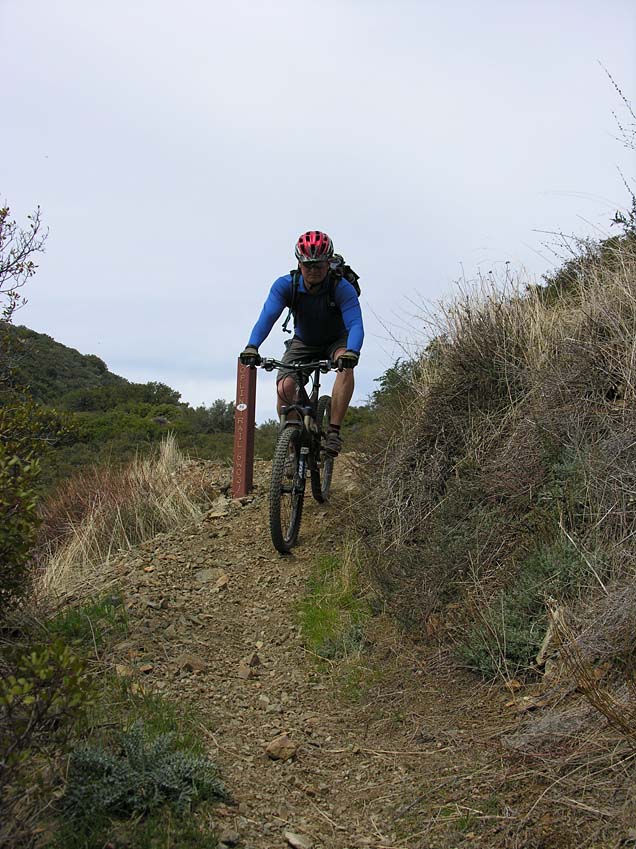
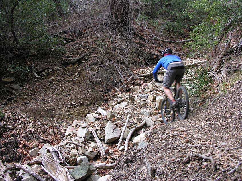
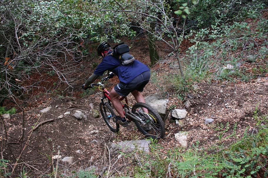
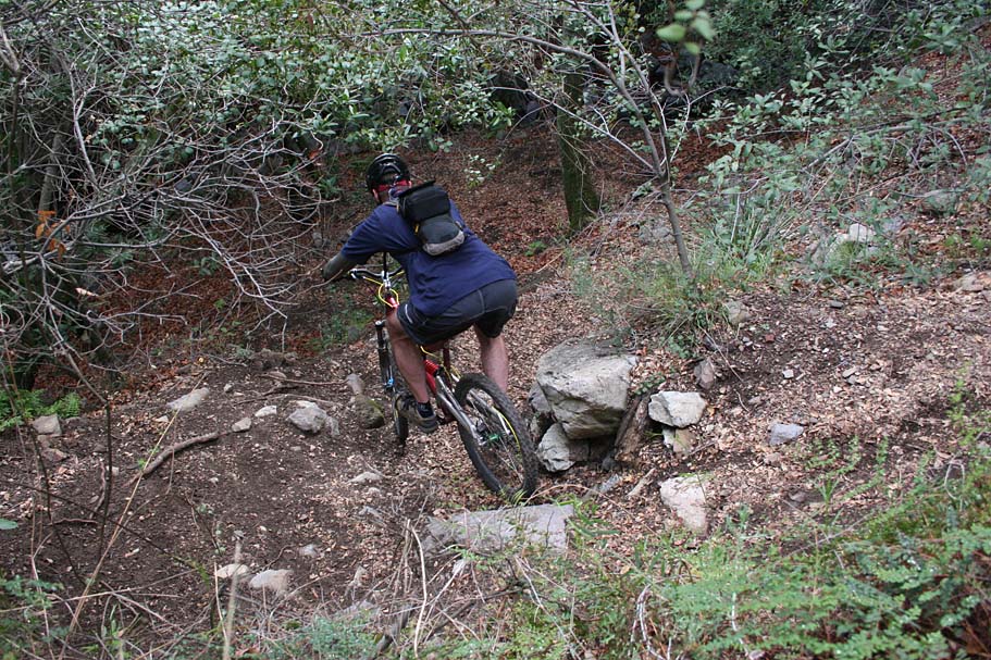
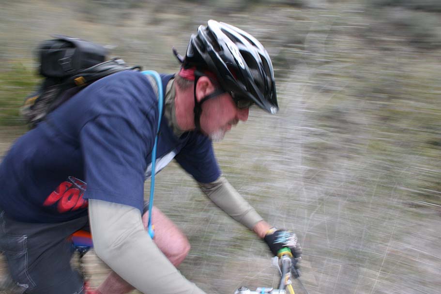
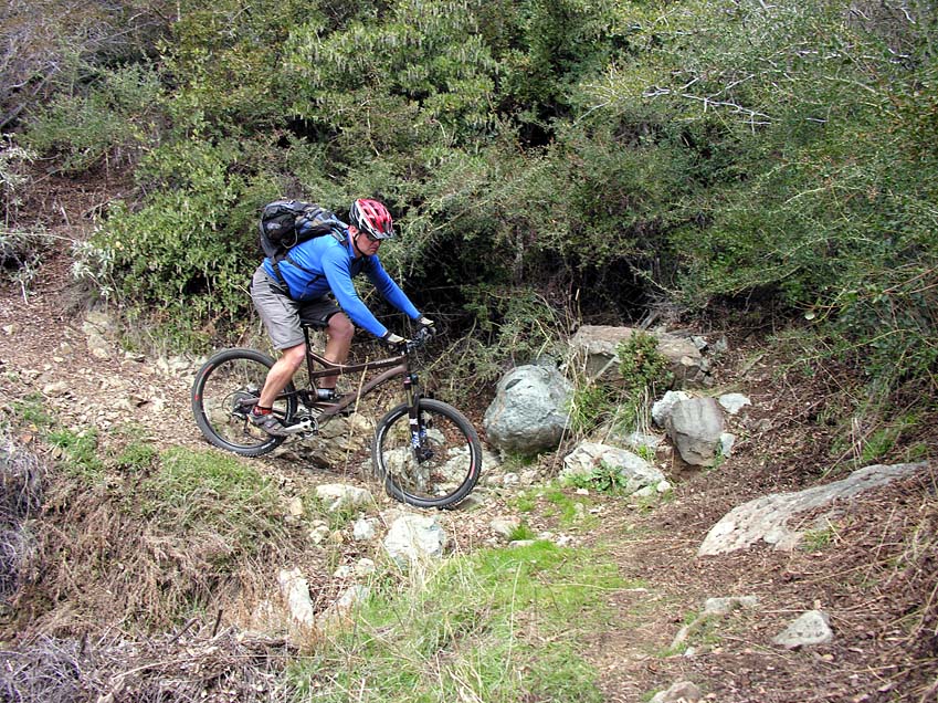
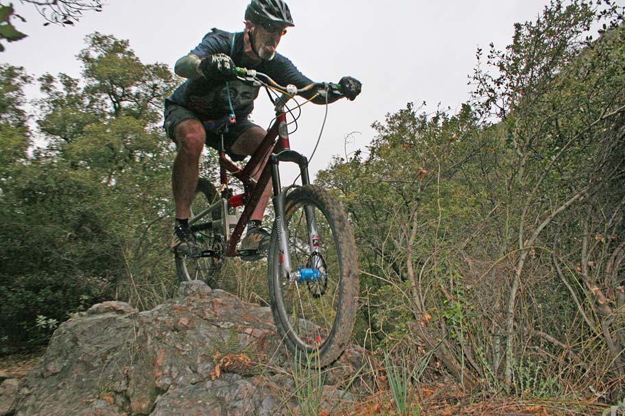
From this spot you will coast or spin another mile on Main Divide to the upper end of the Joplin trail. Your mileage should be about 14 miles at this point. Look for the metal marker post on the right side of Main Divide. If you start any substantial climbing on Main Divide you have gone past the trail. Joplin is where the fun really starts. Since you have spent over 99% of the ride so far speed deprived, dropping into Joplin should be quite exciting. It is starts off steep and narrow which makes for some insanely fast speeds. Laying off the brakes for more than a couple of microseconds results in an acceleration induced adrenaline rush. (I'm grinning again just typing about it.)
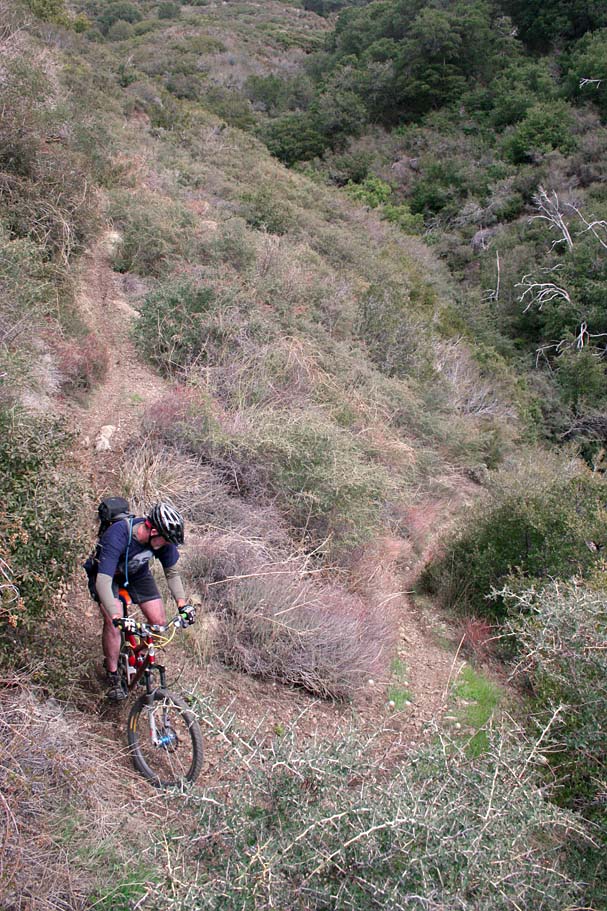

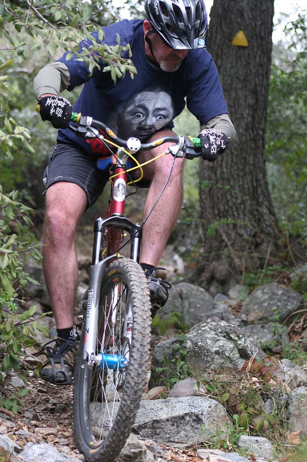
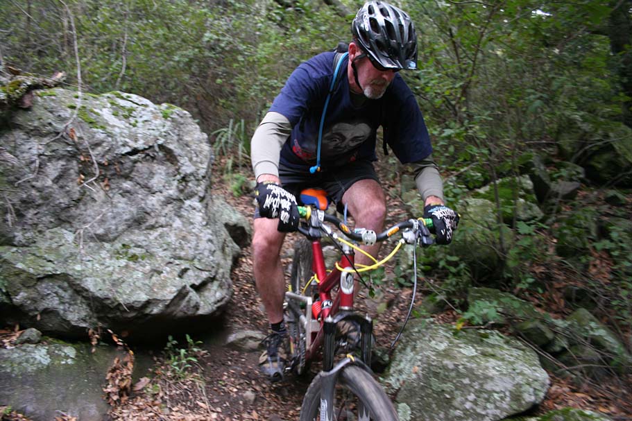
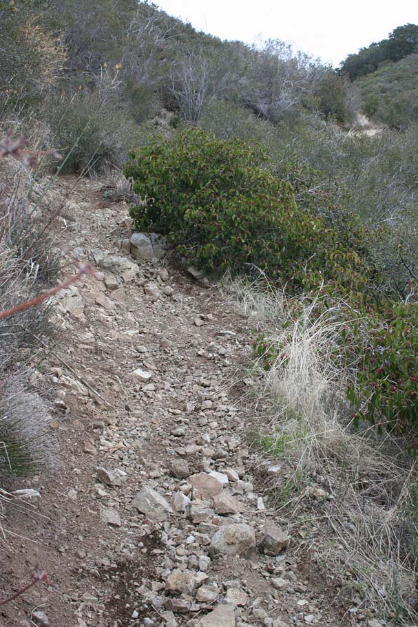
You will soon be tempering that speed as the trail is often filled with loose squared off rocks that make it difficult to slow down so you are faced with either full speed commitment through these sections or slowing down before you get to them. I have a new found love and respect for eight inch rotors as on several occasions when I stopped to take pictures the air was filled with the distinct and wonderful smell of highly stressed brake pads.
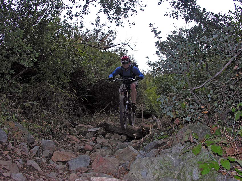
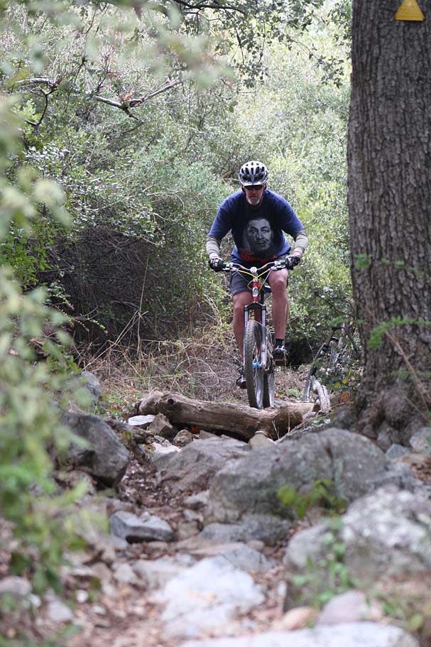


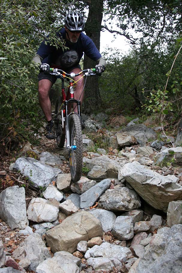

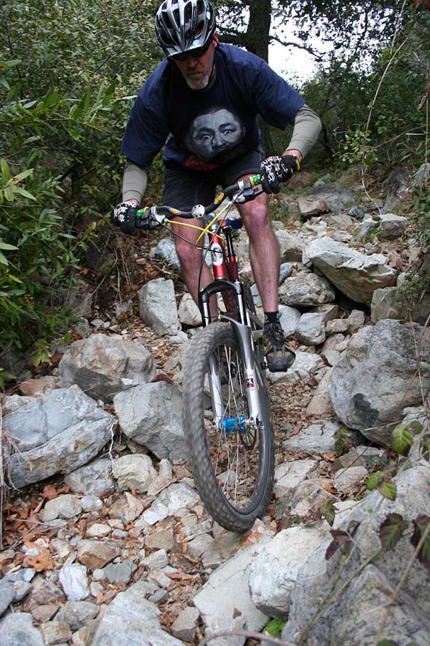
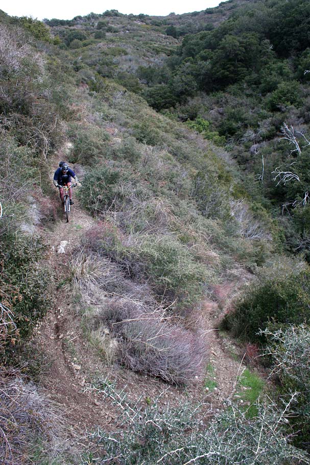
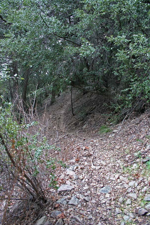
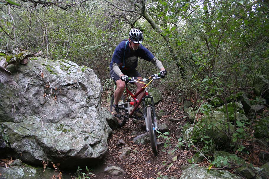
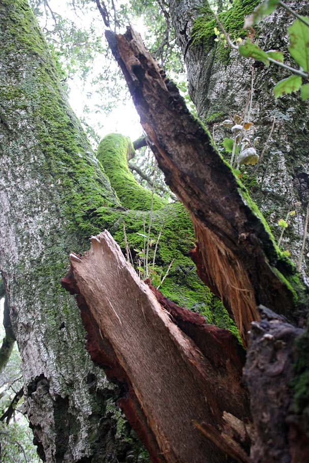
Before long Joplin drops out the scrub and sage into groves of oak trees where the chunks get bigger.

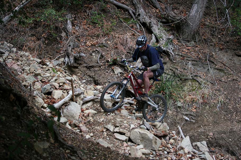
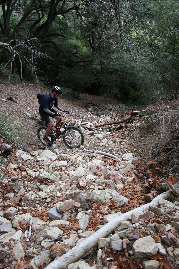
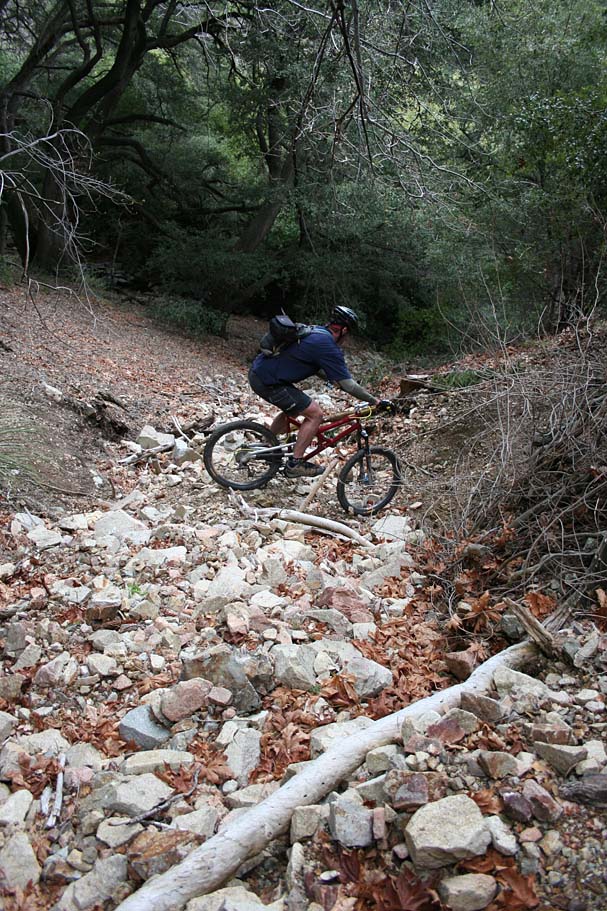
There are a few small incidental climbs along the descent but nothing you would want to raise your seat for.


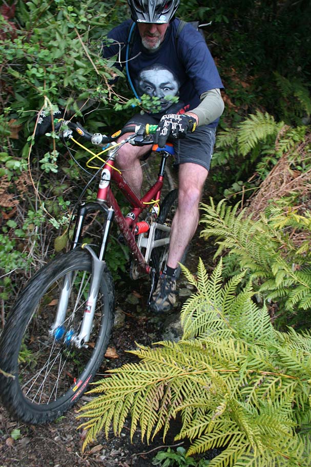
You don't see ferns like this everyday in SoCal.
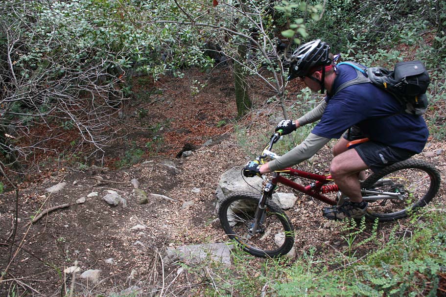
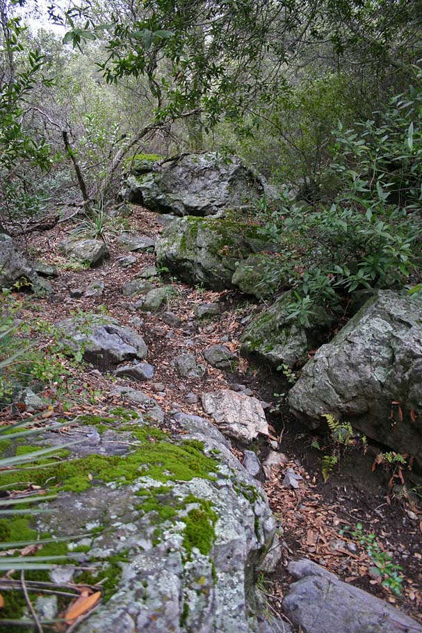
Down near the bottom of Joplin there are some tricky switchbacks.

More pictures from Joplin

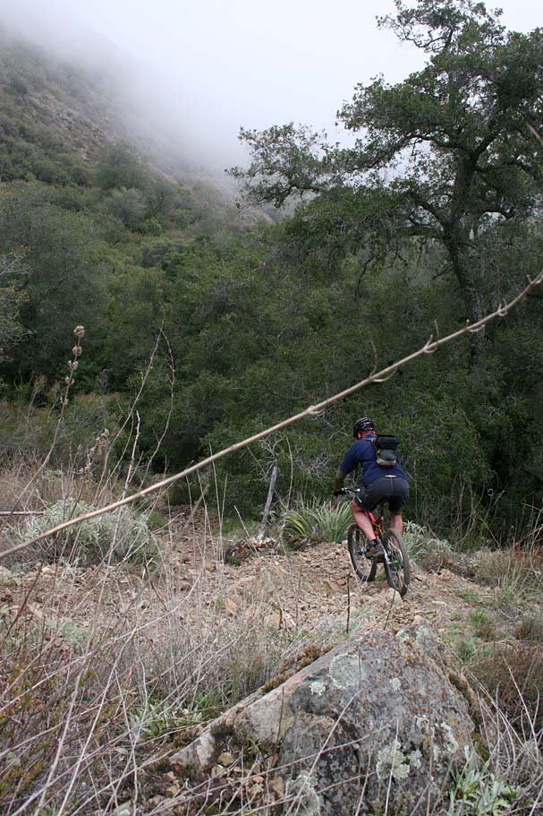
While Joplin is only two miles long, it is one of the few downhills I have done that feels longer than it actually is. Joplin rolls right out into a pretty cool looking wooded area called Old Camp. You should have gone about 16 miles total at this point. Old camp has a few spots to sit down and relax while enjoying a snack or two.
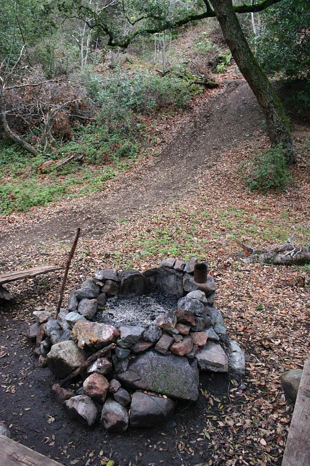
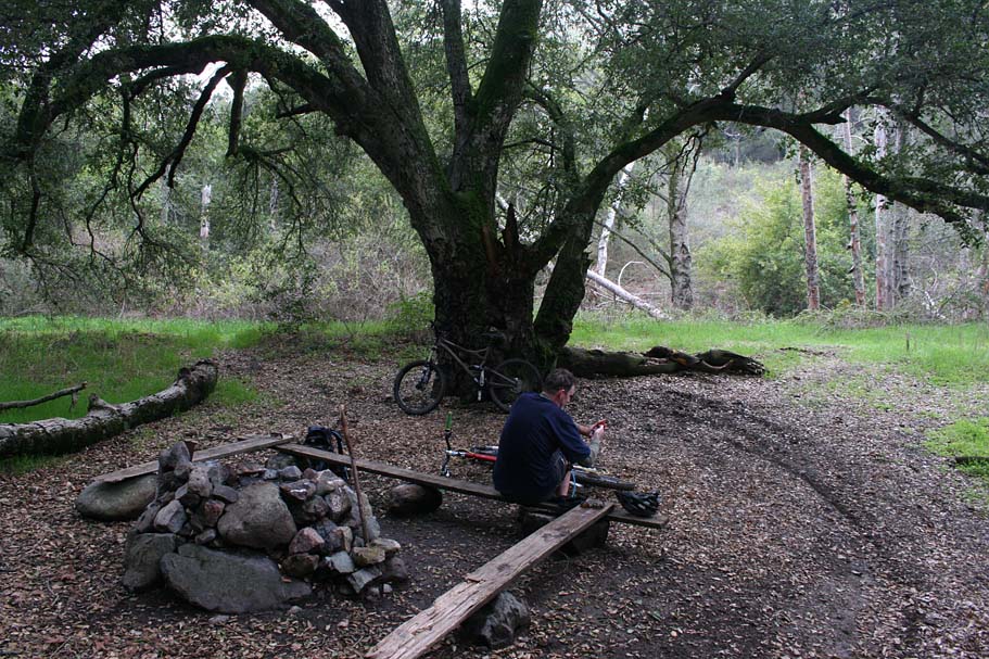
Old Camp
Right as you come out of Old Camp you come to a T-intersection with a single track. Turn left and follow it uphill. I found the .4 mile climb up to the open spot at the top of the Upper Santiago Truck Trail to be a wee bit painful after the days earlier climbing efforts. As you come into the open area you will want to go directly across the open area to the downhill trail. The trail for the next four miles is a Grade-A blazefest with pretty good sight lines and slightly bermed turns. There are a couple of incidental climbs along this section but with all the downhill fun you will be having you will not care. After four miles of descending you will come to the junction of the Luge Trail on your left by a flag pole. Now the GPX file and this description continues on down the Santiago Truck Trail, but taking "The Luge" down is an excellent option. The video embedded below features "The Luge" option. You will have some addition pavement to connect with but it is not too bad. Checkout the Harding Truck Trail page for that route.
At this point you are off of the Upper portion of the Santiago Truck Trail. (Technically the entire descent thus far has been on the Santiago Truck Trail, but so many people climb Santiago and then go down the Luge, that everything above the Luge is colloquially know as the Upper Santiago Truck Trail). Continue on past the Luge and start climbing for the next 1/2 mile. This climb can be a bummer since you have already put in 20 miles and plenty of climbing at this point. After this climb, the downhill fun resumes with only a few short ups to keep you honest.
At about 23.6 miles the Santiago Truck Trail ends on Modjeska Grade road. Turn right and go downhill. The next .8 miles is pretty fun for pavement as it is steep and curvy. I have fundamental issues with descending pavement on a mountainbike, it just seems wrong. Anyway at the bottom of the hill bear left onto Modjeska Canyon road and coast or casually spin your way back to the parking area. Have whatever you want for dinner tonight because you most likely can't eat more calories in one meal than you burned today.