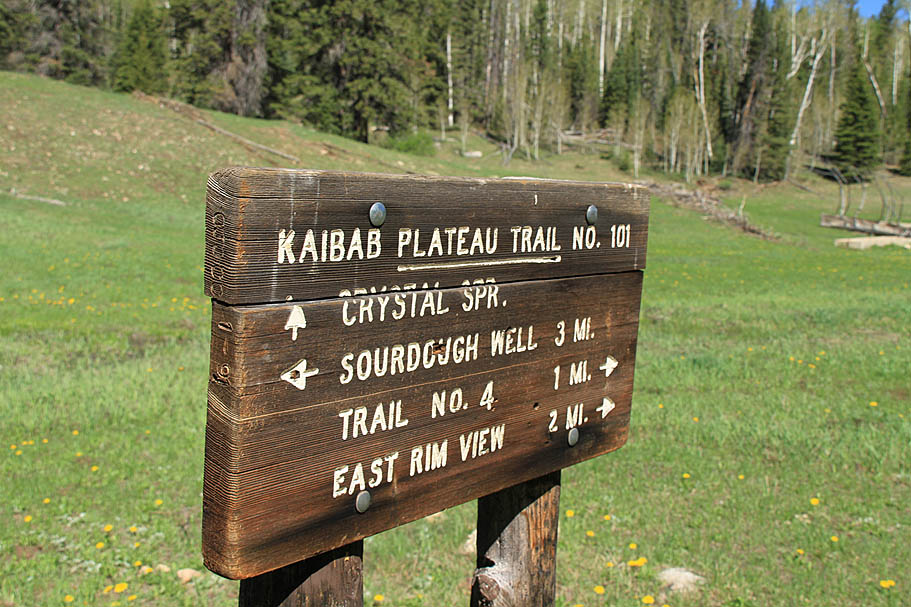
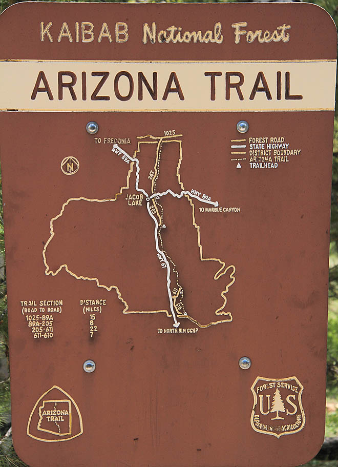
Day Six and Seven - The Arizona Trail

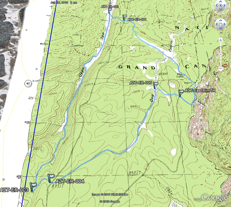
Resources: We did two rides out here, Tater Canyon and an East Rim Viewpoint out and back. Here is a Google Earth KML file for two Arizona Trail bits we rode. For Tater Canyon: GPX, GDB. For the East Rim GPX, GDB. Here is a somewhat crude map of the Tater Canyon Loop. I did not put together a map of the East Rim section we did since it was well marked and easy to follow.
.jpg)
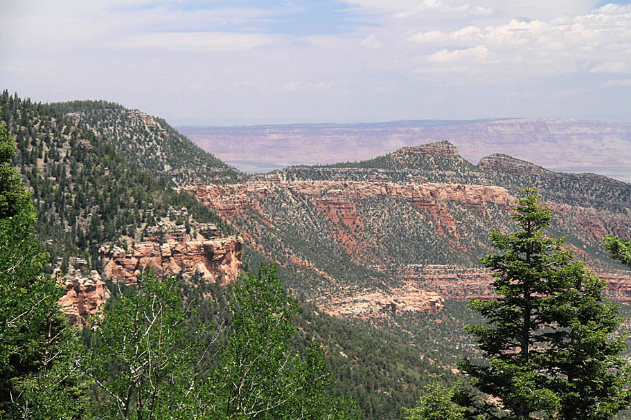
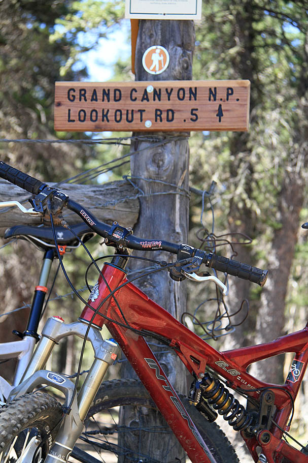
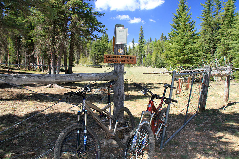
Directions: At the town of Jacob Lake, turn south on Highway 67 and go 27 miles. At mile marker 605.9, (This is the same spot where you would turn right to go to the Rainbow Rim Trail) turn left onto FS611 and follow the signs to the East Rim Viewpoint four miles down the dirt road. There is a large gravel parking lot and pit toliets at the trailhead. You will take a concrete path a few hundred yards out to to the viewpoint. The Arizona Trail passes through the viewpoint along the rim.
Day Six Part II
Ride Report: Earlier in the day Bill, Jeff and I had ridden the second half of the Rainbow Rim Trail in the early morning hours so Jeff could get in a ride and make the drive back to Kernville. After Jeff hit the road, Bill and I decided to drive over to the East Rim Viewpoint (about 24 miles of dirt roads) to scope out and maaaybe ride a chunk of the AZ trail as an afternoon ride.
.jpg)
.jpg)
.jpg)
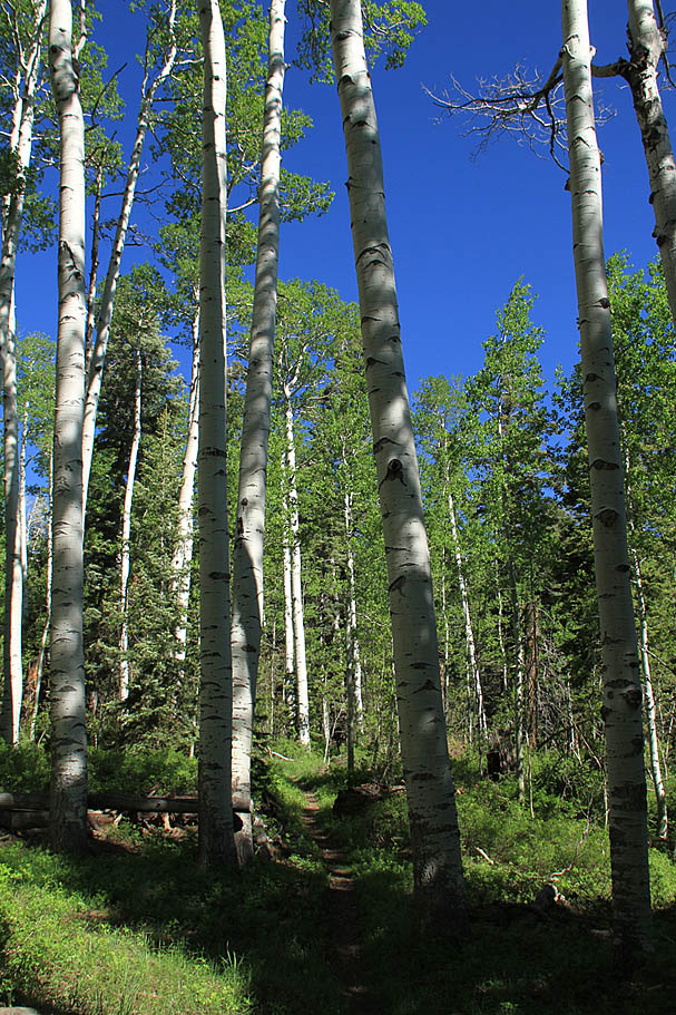
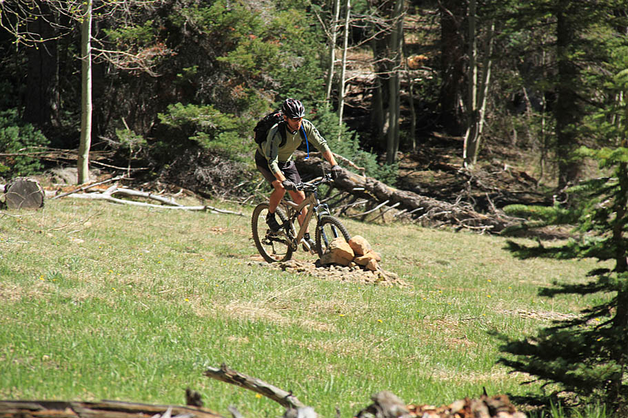
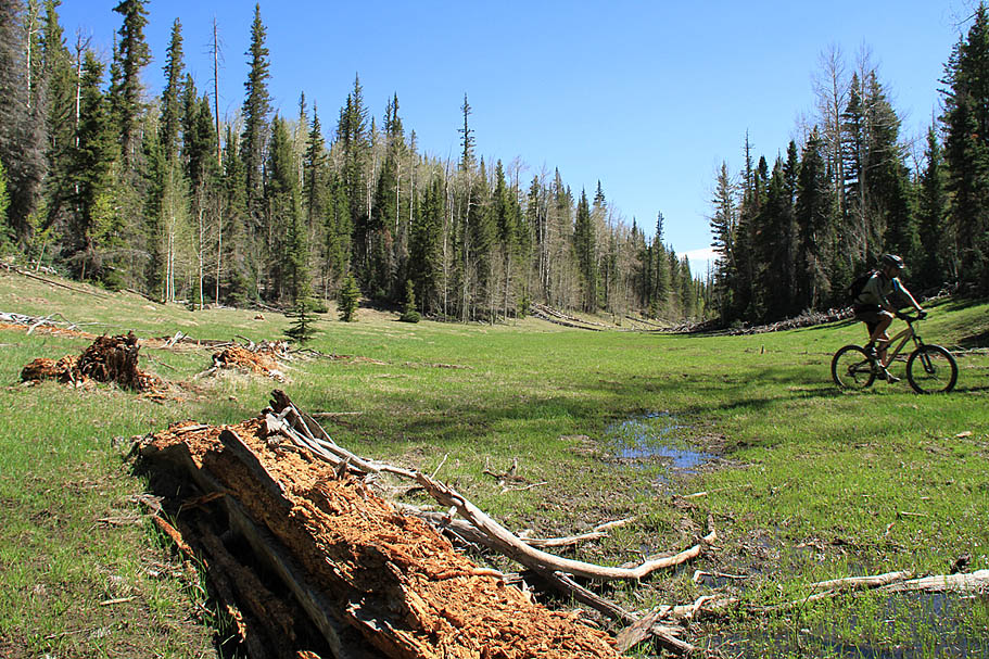
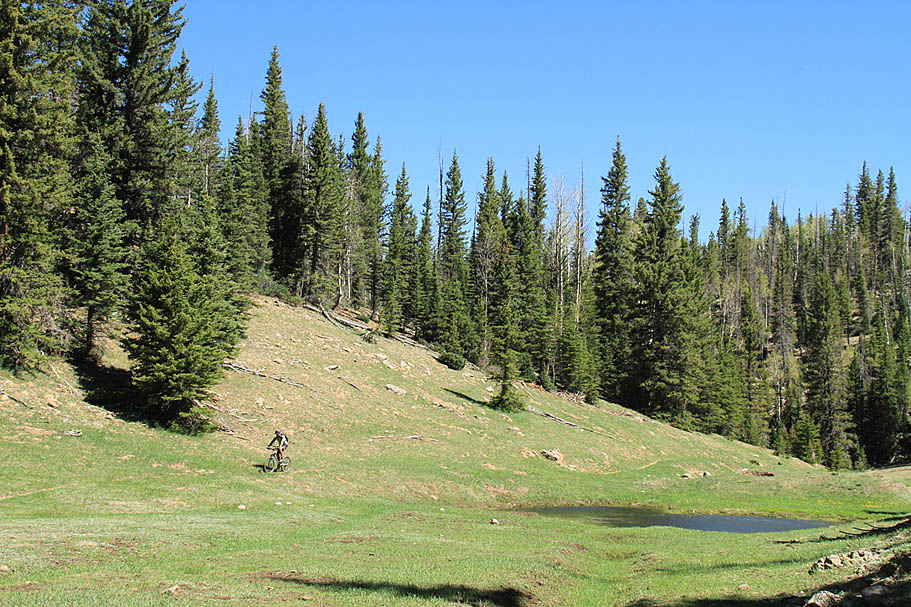
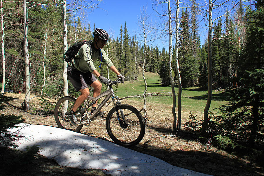
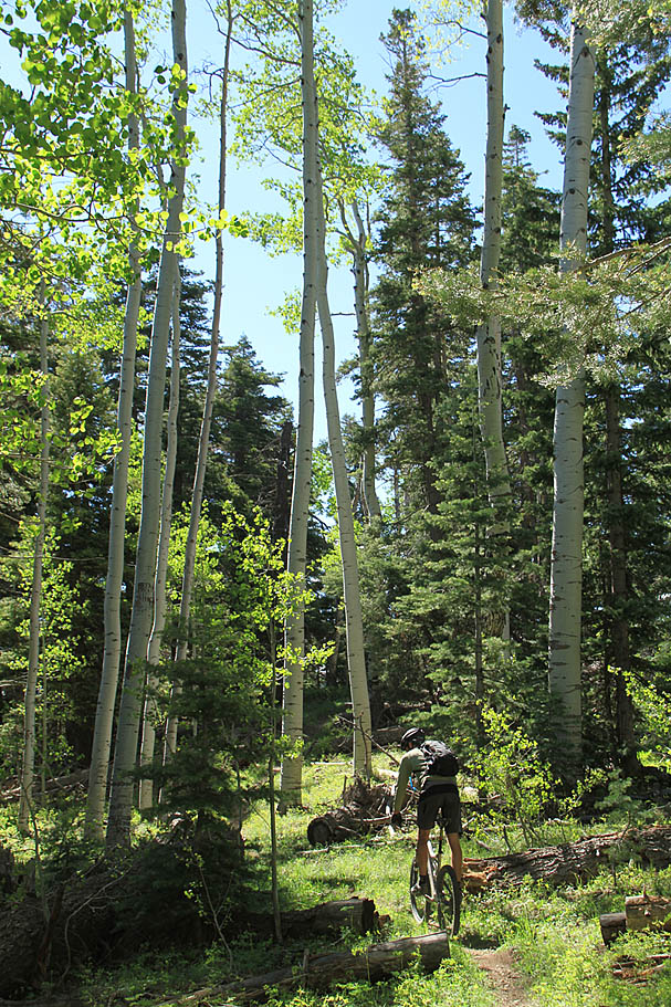
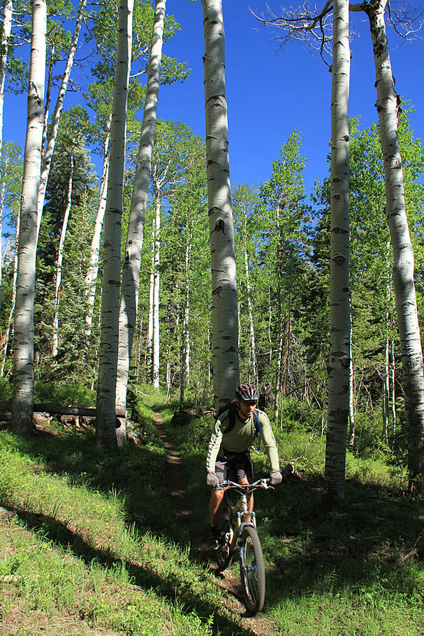
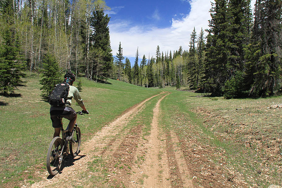
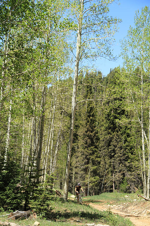
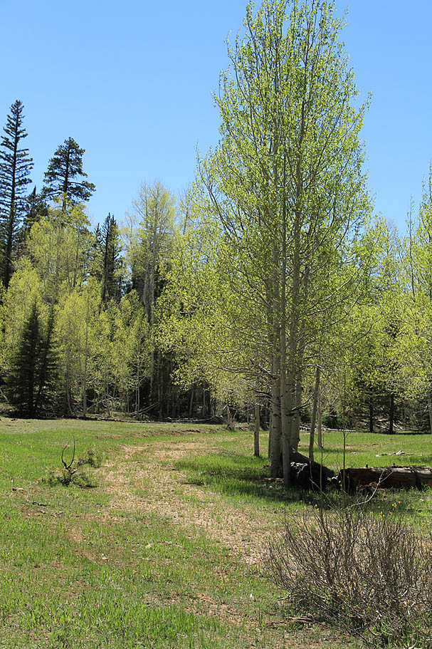
We cruised along singletrack for about half a mile until we crossed ove FS611. After that the Arizona Trail was a using a old doubletrack. Doubletrack was not exactly what I was expecting. For the next 3/4ths of a miles or so we cruised down this doubletrack before coming out onto a meadow where we gradually climbed through the meadow. It was quite pretty through here and in many spots the doubletrack was almost reclaimed back to a singletrack. After a good bit of gradual meadow climbing we left the top of the meadow and back onto singltrack for about a little over 1/4th of a mile where we crossed over FS610. Shortly after crossing over the road the trail turns sharply downhill and uses what looks to be an old logging road to decend down into Tator Canyon. You drop 280 feet in .44 miles which is rather steep. Both Bill and I felt like a bit of cheating was done on the trail designers by using that old logging road instead of making a new trail that better "fit in" better with the terrain.
.jpg)

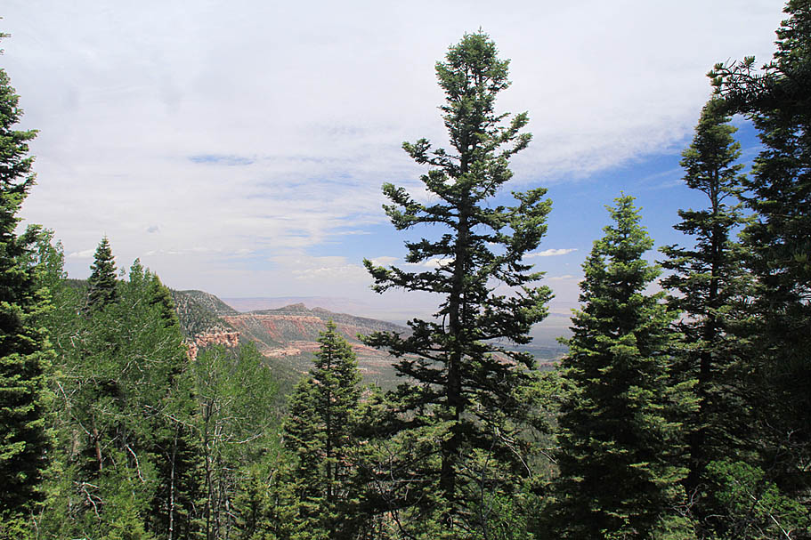
The Arizona Trail came out into Tater Canyon which is orientated north and south. The Arizona trail was again was borrowing another doubletrack that run through the canyon/meadow. We contemplated doing an out and back on the Arizona Trail that turned north from here. We had been fighting a significant breeze along the route so far and once down in Tater Canyon the wind was quite stiff coming from the south. We decided to minimize our amount of time fighting the headwind and turned south here away now off the Arizona Trail. We rode south along the meadow of Tater Canyon for 2.3 miles and we often just had to just put your head down and fight to push through the wind. It would not have been a big deal with fresh legs, but I did not have a set of those with me on this day. Near the south end of the canyon the wind slacked off quite a bit as the trees and approaching hillside formed a nice wind shadow. The following mile was a stiffer climb. We eventually came to a dirt road junction where one choice was down while the to other was up. We hung a left with the uphill option and after 3/10ths of a mile of easier climbing we came to the junction of FS610.
(Note: The Arizona TOPO as well as Garming TOPO west mapsource files have FS610 maked as the doubletrack down in Tater Canyon but is clearly marked differently. The road we just peddled up to is marked as FS610).

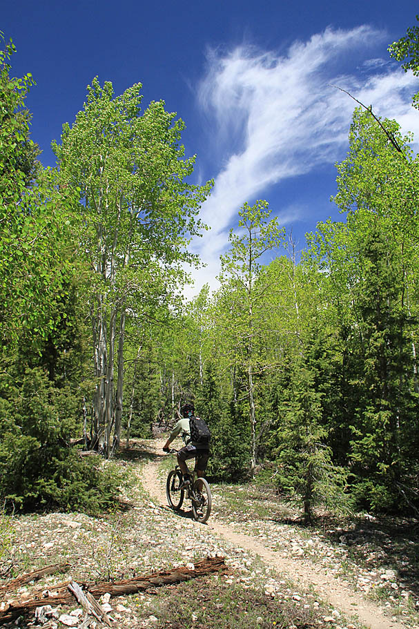
This junction is probably the most important one of this route. There only appears to be a left or right choice. However if you look across and slightly to the right you will see small yellow sign and a faint road bed. The sign reads something to the effect of motorized traffic prohibited but foot traffic invited. This is the way we went and it was a really cool route. The old forest service road bed was quickly being reclaimed. For the next two miles we relaxingly cruised down through the meadow. We were looking for another forest service road that would connect us back to the trailhead. We did find it, but if I had not had my GPS with me we would missed it as the road bed was completely grown over leaving only a faint indication of its former use. Even if we had missed it we could have cruised down the meadow until it intersected the Arizona trail and made our way back from there. Since we did find the old road we climbed uphill for a short bit and came out right across the street from the East Rim Viewpoint. We only did 8.7 miles but it certainly felt like a little more.
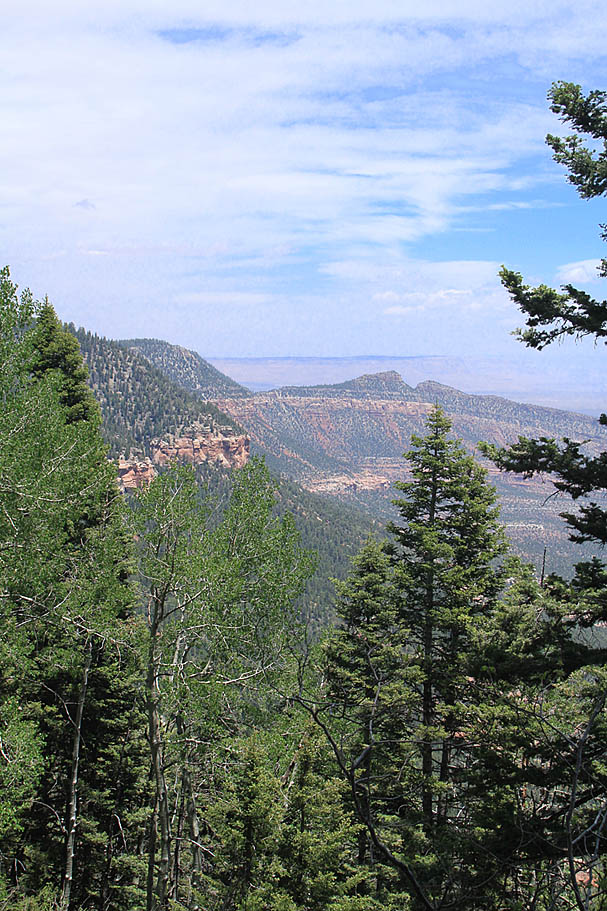
Day Seven - East Rim Viewpoint to Grand Canyon National Park
The next morning we were up at a descent time and after the prerequiste contemplative cup of coffee while dangling our feet into the Grand Canyon we started breaking camp. This was going to be the seventh straight day of riding and my legs (and "saddle" area) were a little worse for wear. I could recover back at home and the good thing about the last ride is you know you don't have to leave anything in the tank for the next day. We made fairly quick work at breaking down camp and were soon heading away from Locust Point and back to the East Rim Viewpoint. The plan for today was to ride from the East Rim Viewpoint to the boundary of the Grand Canyon National Park and back. This would be a total of 14 miles.